Cleave Copse

Wood, Forest in Devon Torridge

England

Cleave Copse

Castle Hill Hillfort The northern rampart <span class="nowrap"><a title="https://historicengland.org.uk/listing/the-list/list-entry/1021417?section=official-list-entry" rel="nofollow ugc noopener" href="https://historicengland.org.uk/listing/the-list/list-entry/1021417?section=official-list-entry">Link</a><img style="margin-left:2px;" alt="External link" title="External link - shift click to open in new window" src="https://s1.geograph.org.uk/img/external.png" width="10" height="10"/></span>
Castle Hill Hillfort Credit: Sandy Gerrard

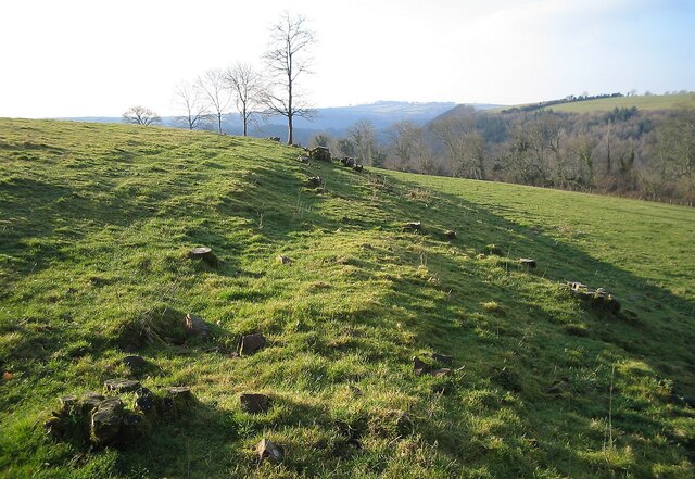
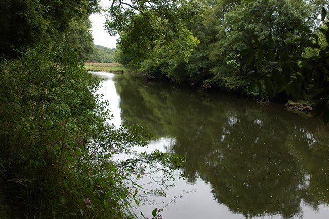
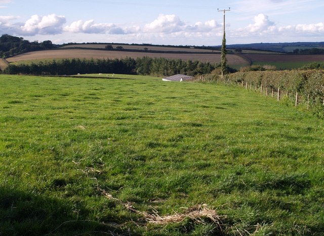
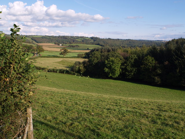
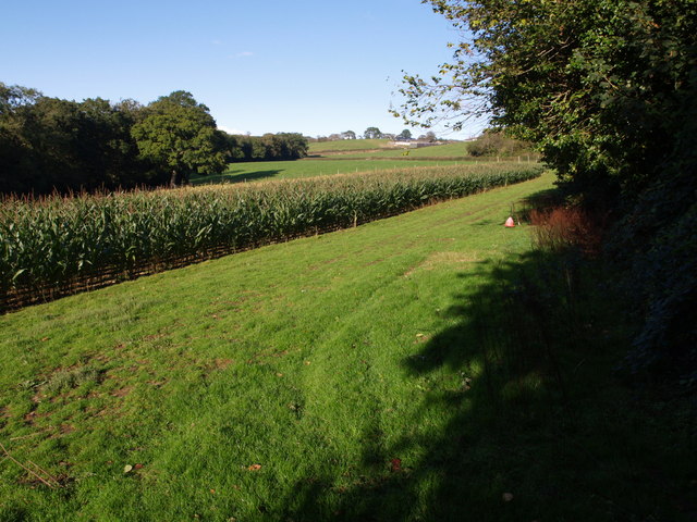
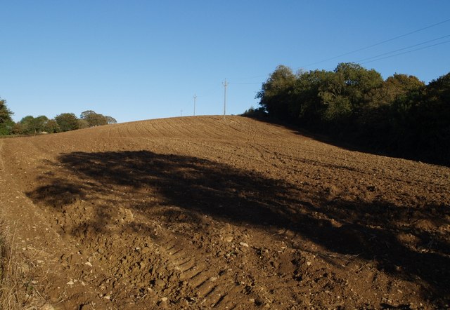
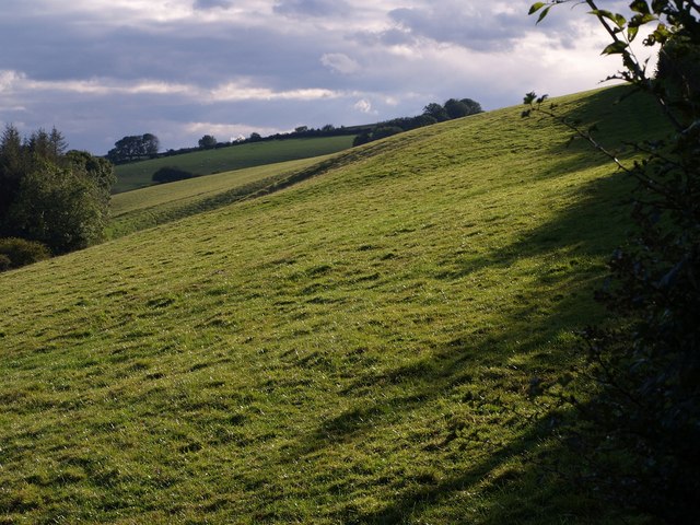
Cleave Copse is a charming woodland located in Devon, England. Covering an area of approximately 50 acres, it is nestled in the heart of the beautiful countryside. The copse is known for its dense and diverse vegetation, making it a haven for wildlife and nature enthusiasts.

The woodland is predominantly composed of oak and beech trees, which provide a stunning canopy of greenery during the summer months. These majestic trees, some of which are several centuries old, create a peaceful and serene atmosphere as visitors wander through the forest.

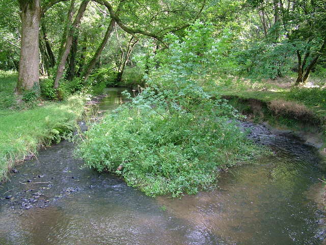
Cleave Copse is home to a variety of flora and fauna, including bluebells, wood anemones, and wild garlic, which carpet the forest floor in a vibrant display of colors during springtime. The copse also provides a habitat for various bird species, such as woodpeckers, owls, and thrushes, making it an ideal spot for birdwatching.

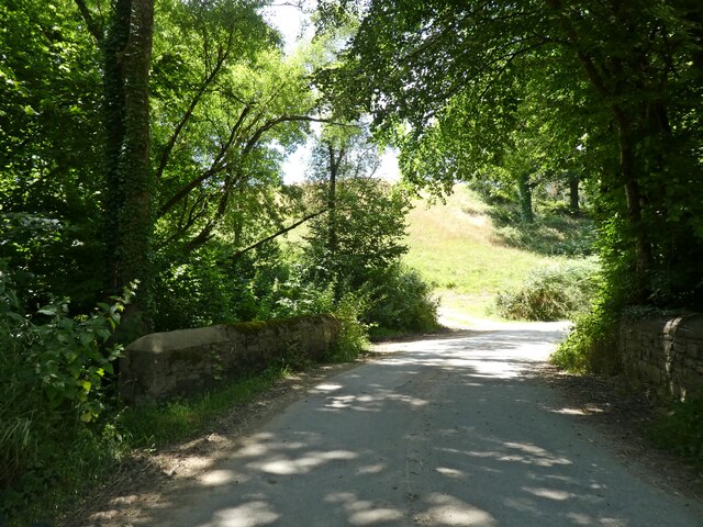
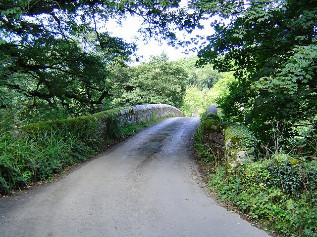
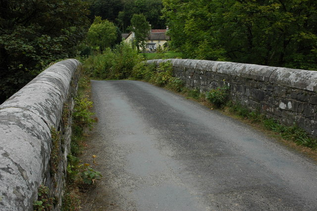
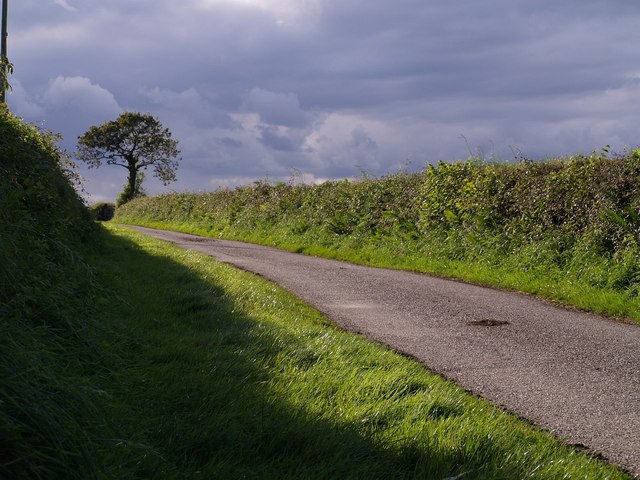
The forest boasts a network of well-maintained footpaths and trails, allowing visitors to explore its enchanting beauty at their own pace. These paths wind through the woodland, leading adventurers to hidden clearings, babbling streams, and picturesque viewpoints.

Cleave Copse is a popular destination for outdoor activities such as hiking, picnicking, and photography. It offers a peaceful retreat from the hustle and bustle of daily life, providing a place for visitors to reconnect with nature and enjoy the tranquility of the countryside.

Overall, Cleave Copse is a cherished natural gem in Devon, offering a captivating woodland experience for individuals seeking solace and a deeper connection with the natural world.

If you have any feedback on the listing, please let us know in the comments section below.
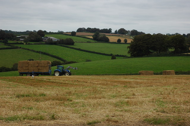
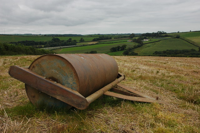
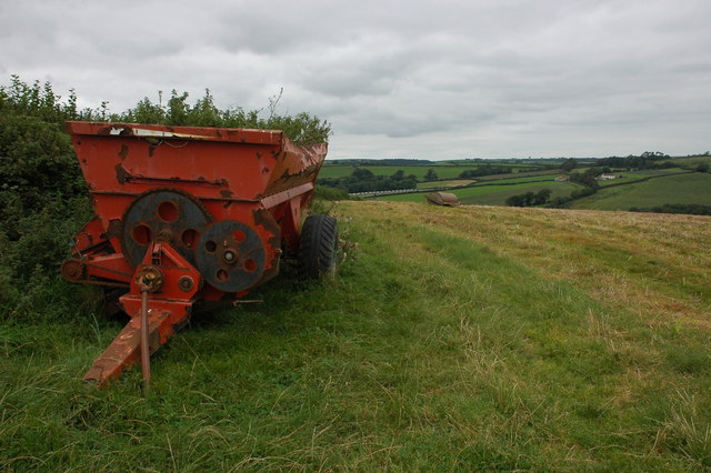
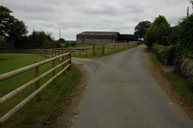
Cleave Copse Images

Images are sourced within 2km of 50.918656/-4.085618 or Grid Reference SS5315. Thanks to Geograph Open Source API. All images are credited.

Castle Hill Hillfort The northern rampart <span class="nowrap"><a title="https://historicengland.org.uk/listing/the-list/list-entry/1021417?section=official-list-entry" rel="nofollow ugc noopener" href="https://historicengland.org.uk/listing/the-list/list-entry/1021417?section=official-list-entry">Link</a><img style="margin-left:2px;" alt="External link" title="External link - shift click to open in new window" src="https://s1.geograph.org.uk/img/external.png" width="10" height="10"/></span>
Castle Hill Hillfort
The northern rampart LinkExternal link
Bridge, crossing Beaford Brook
Beaford Bridge A quiet bridge over the River Torridge.
Beaford Bridge
A quiet bridge over the River Torridge.
The Wooleigh Brook. Two streams join at Whitsleighdown Cottage, St Giles in the Wood. A peaceful scene beside a quiet Devon lane, rarely used by visitors or locals alike.
The Wooleigh Brook.
Two streams join at Whitsleighdown Cottage, St Giles in the Wood. A peaceful scene beside a quiet Devon lane, rarely used by visitors or locals alike.
Wooleigh Brook, Devon The Wooleigh Brook, upstream from Whitsleighdown Cottage
Wooleigh Brook, Devon
The Wooleigh Brook, upstream from Whitsleighdown Cottage
Roping up the load A farmer, with his dog in attendance, ropes a trailer load of straw in a field to the north-west of Beaford.
Roping up the load
A farmer, with his dog in attendance, ropes a trailer load of straw in a field to the north-west of Beaford.
Large farm roll near Ramscliffe Farm Farm roll by a footpath through a stubble field near Ramscliffe Farm. Whitsley Barton is on the hill top across the valley in the background.
Large farm roll near Ramscliffe Farm
Farm roll by a footpath through a stubble field near Ramscliffe Farm. Whitsley Barton is on the hill top across the valley in the background.
Neglected muck spreader A muck spreader is left on the side of a field near Ramscliffe Farm and has weeds growing in it.
Neglected muck spreader
A muck spreader is left on the side of a field near Ramscliffe Farm and has weeds growing in it.
Farm buildings at Brealeys A footpath follows the driveway on the left.
Farm buildings at Brealeys
A footpath follows the driveway on the left.
Beaford Garage Many garages such as this one in the village of Beaford are closed though this one appears to be still trading.
Beaford Garage
Many garages such as this one in the village of Beaford are closed though this one appears to be still trading.
The River Torridge near Beaford The River Torridge passing Beaford Wood to the south-west of the village of Beaford.
The River Torridge near Beaford
The River Torridge passing Beaford Wood to the south-west of the village of Beaford.
Beaford Bridge and Beaford Mill Beaford Bridge crosses the river Torridge. The picturesque Beaford Mills can be seen in the background.
Beaford Bridge and Beaford Mill
Beaford Bridge crosses the river Torridge. The picturesque Beaford Mills can be seen in the background.
Field at Pinkhill Farm The roofs of a couple of the farm's barns peep above the grass. The conifer wood is Furzehill Plantation, largely in SS5114.
Field at Pinkhill Farm
The roofs of a couple of the farm's barns peep above the grass. The conifer wood is Furzehill Plantation, largely in SS5114.
Hillies Wood The view from a gateway near Whiteland Head. A rather small stream occupying quite a broad valley emerges from the wood. The lane to Balls Corner Cross  continues, on the left, into SS5413 - photos <a href="https://www.geograph.org.uk/photo/570031">SS5413 : Countryside near Balls</a>, <a href="https://www.geograph.org.uk/photo/569969">SS5413 : Balls</a> and <a href="https://www.geograph.org.uk/photo/569981">SS5413 : Lane to  Whiteland Head</a> were all taken from where the lane goes out of sight.
Hillies Wood
The view from a gateway near Whiteland Head. A rather small stream occupying quite a broad valley emerges from the wood. The lane to Balls Corner Cross continues, on the left, into SS5413 - photos SS5413 : Countryside near Balls, SS5413 : Balls and SS5413 : Lane to Whiteland Head were all taken from where the lane goes out of sight.
Maize field by the Torridge The river, flowing in a deep incised meander, is just some 10 metres through the trees on the left. To the right is the edge of Poundcleave Wood. The farm in the distance is Yeory.
Maize field by the Torridge
The river, flowing in a deep incised meander, is just some 10 metres through the trees on the left. To the right is the edge of Poundcleave Wood. The farm in the distance is Yeory.
Ploughed field at Abbot's Hill A field on the slopes of the Torridge valley, occupying part of a narrow ridge between large incised meanders of the river. Abbot's Hill Wood, to the right, plunges 60 metres to the river.
Ploughed field at Abbot's Hill
A field on the slopes of the Torridge valley, occupying part of a narrow ridge between large incised meanders of the river. Abbot's Hill Wood, to the right, plunges 60 metres to the river.
Lane near Pinkhill Farm The lane from the farm to Brandis Corner, with a threatening sky to the west.
Lane near Pinkhill Farm
The lane from the farm to Brandis Corner, with a threatening sky to the west.
Field at Whiteland Head From the same gateway as <a href="https://www.geograph.org.uk/photo/568070">SS5313 : Hillies Wood</a>, a view of a steep field above Hillies Wood.
Field at Whiteland Head
From the same gateway as SS5313 : Hillies Wood, a view of a steep field above Hillies Wood.
Show me another place!

Cleave Copse is located at Grid Ref: SS5315 (Lat: 50.918656, Lng: -4.085618)

Administrative County: Devon

District: Torridge

Police Authority: Devon and Cornwall

What 3 Words

///takeovers.smudges.dollar. Near Great Torrington, Devon

Related Wikis

Brealeys

Brealeys is a village in Devon, England. == References == == External links == Media related to Brealeys at Wikimedia Commons

Potheridge

Potheridge (alias Great Potheridge, Poderigge, Poderidge or Powdrich) is a former Domesday Book estate in the parish of Merton, in the historic hundred...
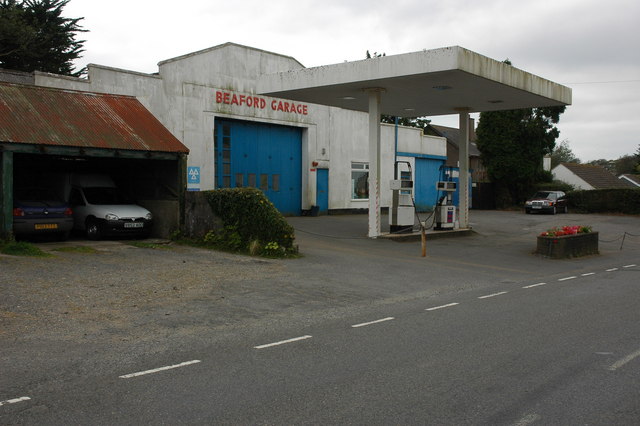
Beaford

Beaford is a village and civil parish in the Torridge district of Devon, England. The village is about five miles south-east of Great Torrington, on the...

Barometer World

Barometer World was the world's only barometer museum, and was located in the village of Merton, near Great Torrington, Devon, England. Barometer World...

Related Videos

North Devon Holiday Cottage, Farmstay self catering cottage Devon

Devon Holiday Cottage HAPPY BIRTHDAY TO US. We have been at Moorparks for 5 years from July 15th 2020. We moved from ...

Animal update at Moorparks Holiday Cottages, Beaford, North Devon. All of them cute and funny.

For anyone missing our animals here is a little update on how they are including: The Dartmoor Greyface Sheep, Lambs and ...

STORM- Greyface Dartmoor sheep for sale in Devon, Moorparks Holiday Cottages, Winkleigh, North Devon

This years (2020) Dartmoor Greyface Sheep for sale. Lambs, ewes and shearlings available. #holidaycottagedevon ...

Harley - Greyface Dartmoor sheep for sale in Devon, Moorparks Holiday Cottages, North Devon

This years (2020) Dartmoor Greyface Sheep for sale. Lambs, ewes and shearlings available. #holidaycottagedevon ...

Have you been to Cleave Copse?

Leave your review of Cleave Copse below (or comments, questions and feedback).