Westdown Copse

Wood, Forest in Devon Torridge

England

Westdown Copse

Castle Hill Hillfort The northern rampart <span class="nowrap"><a title="https://historicengland.org.uk/listing/the-list/list-entry/1021417?section=official-list-entry" rel="nofollow ugc noopener" href="https://historicengland.org.uk/listing/the-list/list-entry/1021417?section=official-list-entry">Link</a><img style="margin-left:2px;" alt="External link" title="External link - shift click to open in new window" src="https://s1.geograph.org.uk/img/external.png" width="10" height="10"/></span>
Castle Hill Hillfort Credit: Sandy Gerrard

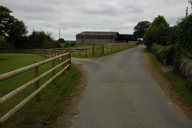
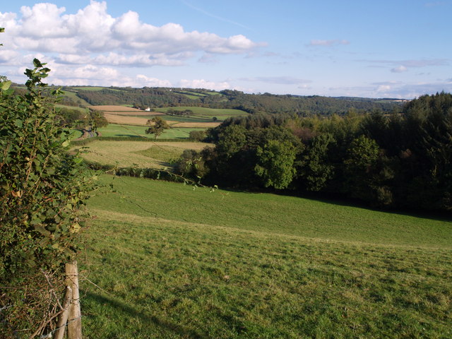
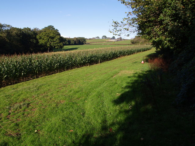
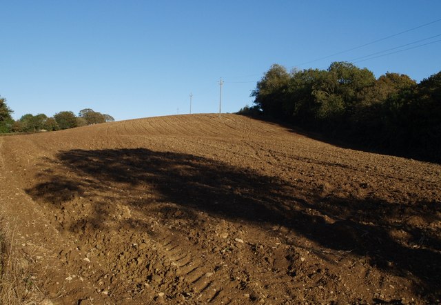
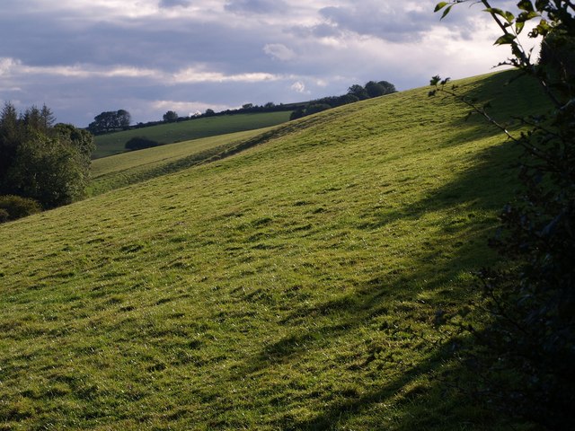
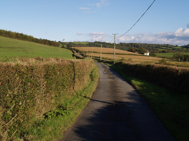
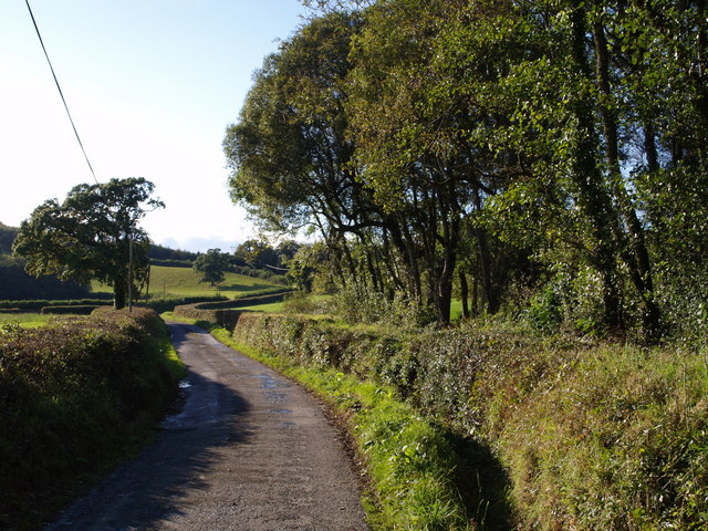
Westdown Copse is a picturesque woodland located in Devon, England. Covering an area of approximately 20 acres, this ancient forest is a haven for nature enthusiasts and those seeking tranquility amidst the beauty of nature.

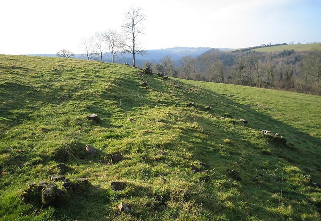
The copse is characterized by its diverse range of tree species, including oak, beech, ash, and birch. These majestic trees create a dense canopy that provides shade and shelter to a variety of flora and fauna. The forest floor is adorned with a carpet of bluebells and wildflowers during the spring season, creating a vibrant and colorful display.

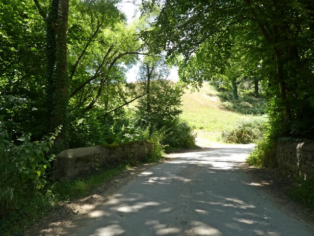
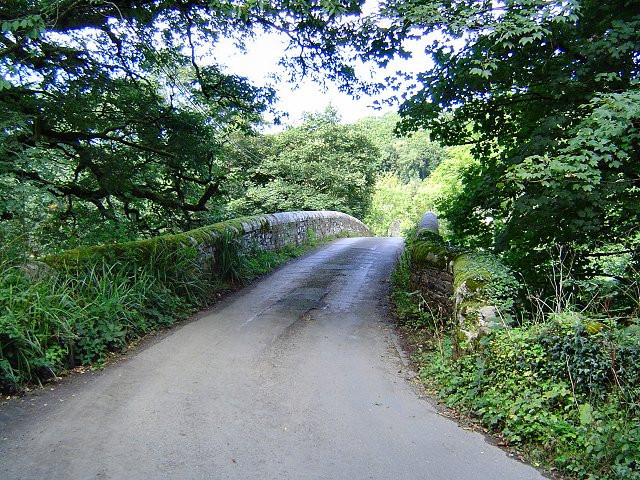
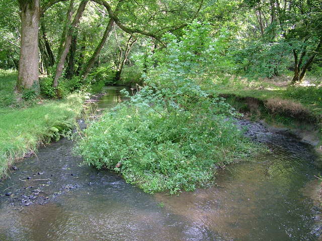
The woodland is crisscrossed by numerous footpaths and trails, offering visitors the opportunity to explore the copse and discover its hidden treasures. These pathways wind their way through the forest, leading visitors to secluded clearings, babbling brooks, and enchanting glades. The gentle sound of birdsong fills the air, creating a soothing and peaceful ambiance.

Westdown Copse is home to a diverse array of wildlife, including deer, badgers, foxes, and a myriad of bird species. The forest provides a vital habitat for these creatures, offering a safe haven away from the disturbances of modern life.

The copse is a popular destination for outdoor activities such as walking, birdwatching, and photography. It offers a sanctuary for those seeking solace in nature, providing a serene escape from the hustle and bustle of everyday life.

In conclusion, Westdown Copse is a delightful woodland in Devon, offering visitors a chance to immerse themselves in the beauty of nature. With its diverse range of trees, abundant wildlife, and tranquil atmosphere, it is a haven for nature lovers and a place of respite and rejuvenation.

If you have any feedback on the listing, please let us know in the comments section below.

Westdown Copse Images

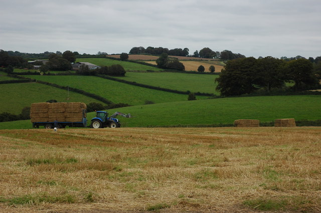
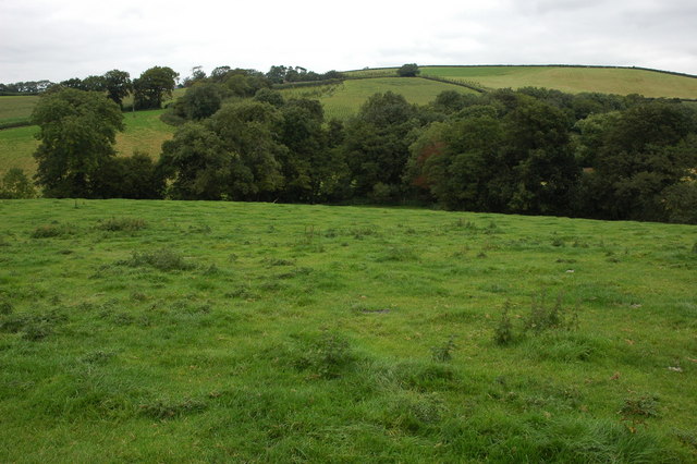
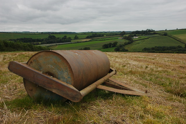
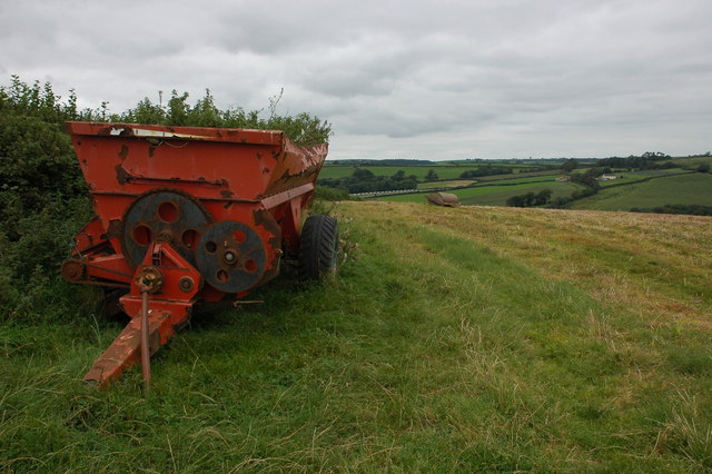
Images are sourced within 2km of 50.920615/-4.0847096 or Grid Reference SS5315. Thanks to Geograph Open Source API. All images are credited.

Castle Hill Hillfort The northern rampart <span class="nowrap"><a title="https://historicengland.org.uk/listing/the-list/list-entry/1021417?section=official-list-entry" rel="nofollow ugc noopener" href="https://historicengland.org.uk/listing/the-list/list-entry/1021417?section=official-list-entry">Link</a><img style="margin-left:2px;" alt="External link" title="External link - shift click to open in new window" src="https://s1.geograph.org.uk/img/external.png" width="10" height="10"/></span>
Castle Hill Hillfort
The northern rampart LinkExternal link
Bridge, crossing Beaford Brook
Beaford Bridge A quiet bridge over the River Torridge.
Beaford Bridge
A quiet bridge over the River Torridge.
The Wooleigh Brook. Two streams join at Whitsleighdown Cottage, St Giles in the Wood. A peaceful scene beside a quiet Devon lane, rarely used by visitors or locals alike.
The Wooleigh Brook.
Two streams join at Whitsleighdown Cottage, St Giles in the Wood. A peaceful scene beside a quiet Devon lane, rarely used by visitors or locals alike.
Wooleigh Brook, Devon The Wooleigh Brook, upstream from Whitsleighdown Cottage
Wooleigh Brook, Devon
The Wooleigh Brook, upstream from Whitsleighdown Cottage
Roping up the load A farmer, with his dog in attendance, ropes a trailer load of straw in a field to the north-west of Beaford.
Roping up the load
A farmer, with his dog in attendance, ropes a trailer load of straw in a field to the north-west of Beaford.
View to Lower Whitsleigh The Woolleigh Brook flows through the bottom of this valley. A footpath crosses to the bottom corner of the field and then follows a very overgrown track up to Lower Whitsleigh on the other side of the valley.
View to Lower Whitsleigh
The Woolleigh Brook flows through the bottom of this valley. A footpath crosses to the bottom corner of the field and then follows a very overgrown track up to Lower Whitsleigh on the other side of the valley.
Large farm roll near Ramscliffe Farm Farm roll by a footpath through a stubble field near Ramscliffe Farm. Whitsley Barton is on the hill top across the valley in the background.
Large farm roll near Ramscliffe Farm
Farm roll by a footpath through a stubble field near Ramscliffe Farm. Whitsley Barton is on the hill top across the valley in the background.
Neglected muck spreader A muck spreader is left on the side of a field near Ramscliffe Farm and has weeds growing in it.
Neglected muck spreader
A muck spreader is left on the side of a field near Ramscliffe Farm and has weeds growing in it.
Farm buildings at Brealeys A footpath follows the driveway on the left.
Farm buildings at Brealeys
A footpath follows the driveway on the left.
Beaford Garage Many garages such as this one in the village of Beaford are closed though this one appears to be still trading.
Beaford Garage
Many garages such as this one in the village of Beaford are closed though this one appears to be still trading.
Beaford Bridge and Beaford Mill Beaford Bridge crosses the river Torridge. The picturesque Beaford Mills can be seen in the background.
Beaford Bridge and Beaford Mill
Beaford Bridge crosses the river Torridge. The picturesque Beaford Mills can be seen in the background.
Hillies Wood The view from a gateway near Whiteland Head. A rather small stream occupying quite a broad valley emerges from the wood. The lane to Balls Corner Cross  continues, on the left, into SS5413 - photos <a href="https://www.geograph.org.uk/photo/570031">SS5413 : Countryside near Balls</a>, <a href="https://www.geograph.org.uk/photo/569969">SS5413 : Balls</a> and <a href="https://www.geograph.org.uk/photo/569981">SS5413 : Lane to  Whiteland Head</a> were all taken from where the lane goes out of sight.
Hillies Wood
The view from a gateway near Whiteland Head. A rather small stream occupying quite a broad valley emerges from the wood. The lane to Balls Corner Cross continues, on the left, into SS5413 - photos SS5413 : Countryside near Balls, SS5413 : Balls and SS5413 : Lane to Whiteland Head were all taken from where the lane goes out of sight.
Maize field by the Torridge The river, flowing in a deep incised meander, is just some 10 metres through the trees on the left. To the right is the edge of Poundcleave Wood. The farm in the distance is Yeory.
Maize field by the Torridge
The river, flowing in a deep incised meander, is just some 10 metres through the trees on the left. To the right is the edge of Poundcleave Wood. The farm in the distance is Yeory.
Ploughed field at Abbot's Hill A field on the slopes of the Torridge valley, occupying part of a narrow ridge between large incised meanders of the river. Abbot's Hill Wood, to the right, plunges 60 metres to the river.
Ploughed field at Abbot's Hill
A field on the slopes of the Torridge valley, occupying part of a narrow ridge between large incised meanders of the river. Abbot's Hill Wood, to the right, plunges 60 metres to the river.
Field at Whiteland Head From the same gateway as <a href="https://www.geograph.org.uk/photo/568070">SS5313 : Hillies Wood</a>, a view of a steep field above Hillies Wood.
Field at Whiteland Head
From the same gateway as SS5313 : Hillies Wood, a view of a steep field above Hillies Wood.
Balls Balls is the white farm across the fields. The lane is leading from Whiteland Head to Balls Corner Cross.
Balls
Balls is the white farm across the fields. The lane is leading from Whiteland Head to Balls Corner Cross.
Lane to  Whiteland Head Looking in the opposite direction from close to the spot where <a href="https://www.geograph.org.uk/photo/569969">SS5413 : Balls</a> was taken. The lane is about to cross a gridline; the tree on the left is just inside SS5313.
Lane to Whiteland Head
Looking in the opposite direction from close to the spot where SS5413 : Balls was taken. The lane is about to cross a gridline; the tree on the left is just inside SS5313.
Show me another place!

Westdown Copse is located at Grid Ref: SS5315 (Lat: 50.920615, Lng: -4.0847096)

Administrative County: Devon

District: Torridge

Police Authority: Devon and Cornwall

What 3 Words

///tactical.jeeps.indicates. Near Great Torrington, Devon

Related Wikis

Brealeys

Brealeys is a village in Devon, England. == References == == External links == Media related to Brealeys at Wikimedia Commons

Potheridge

Potheridge (alias Great Potheridge, Poderigge, Poderidge or Powdrich) is a former Domesday Book estate in the parish of Merton, in the historic hundred...

Beaford

Beaford is a village and civil parish in the Torridge district of Devon, England. The village is about five miles south-east of Great Torrington, on the...

Barometer World

Barometer World was the world's only barometer museum, and was located in the village of Merton, near Great Torrington, Devon, England. Barometer World...

Merton, Devon

Merton is a village, ecclesiastical parish, former manor and civil parish administered by the local government district of Torridge, Devon, England. The...

St Giles in the Wood

St Giles in the Wood is a village and civil parish in the Torridge district of Devon, England. The village lies about 2.5 miles east of the town of Great...

Parish church of St Giles, St Giles in the Wood

The large parish church of St Giles, which is in the village of St Giles in the Wood, Devon, England, came into being in 1309. When it was restored in...

Dunsbear Halt railway station

Dunsbear Halt was a relatively well-used halt on the initially privately run North Devon and Cornwall Junction Light Railway. Opened in 1925 and closed...

Have you been to Westdown Copse?

Leave your review of Westdown Copse below (or comments, questions and feedback).