Long Wood

Wood, Forest in Devon Torridge

England

Long Wood

Castle Hill Hillfort The northern rampart <span class="nowrap"><a title="https://historicengland.org.uk/listing/the-list/list-entry/1021417?section=official-list-entry" rel="nofollow ugc noopener" href="https://historicengland.org.uk/listing/the-list/list-entry/1021417?section=official-list-entry">Link</a><img style="margin-left:2px;" alt="External link" title="External link - shift click to open in new window" src="https://s1.geograph.org.uk/img/external.png" width="10" height="10"/></span>
Castle Hill Hillfort Credit: Sandy Gerrard

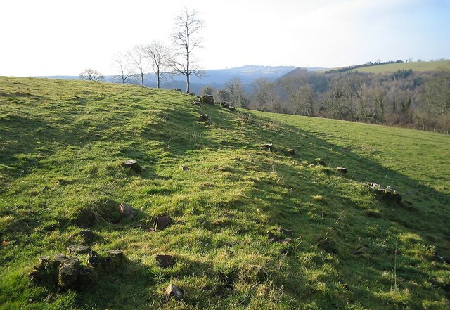
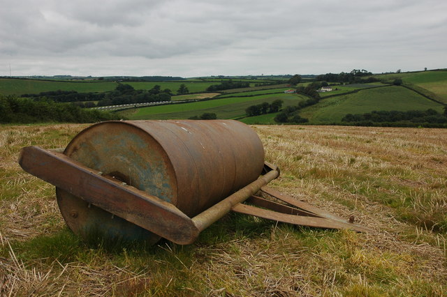
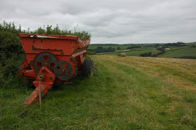
Long Wood is a picturesque forest located in Devon, England. Covering an area of approximately 500 acres, it is known for its stunning natural beauty and diverse wildlife. The forest is situated on the edge of Dartmoor National Park, offering visitors a unique opportunity to explore both the woodland and the moorland in one visit.

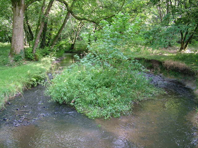
The wood is predominantly made up of native broadleaf trees such as oak, beech, and birch, creating a rich and vibrant canopy. The dense foliage provides a haven for a variety of bird species, including woodpeckers, owls, and warblers. In addition to the avian population, Long Wood is also home to a plethora of mammals, including deer, foxes, and badgers.

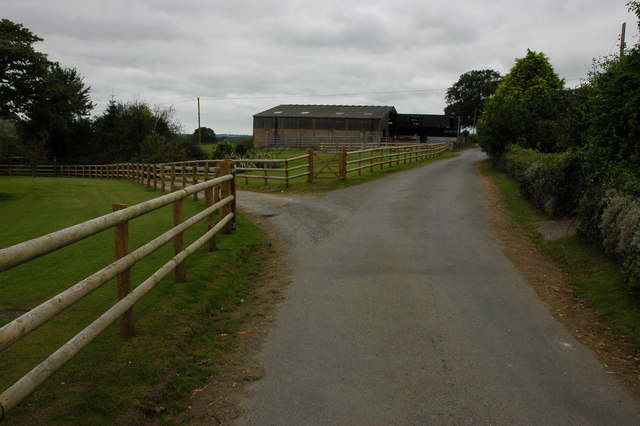
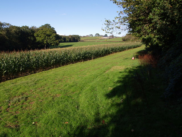
The forest has a well-maintained network of footpaths and trails that wind their way through the trees, making it accessible for hikers, cyclists, and nature enthusiasts. The paths offer visitors the chance to explore the different habitats within Long Wood, from sun-dappled glades to shady groves. There are also picnic areas and benches scattered throughout the forest, allowing visitors to take a break and enjoy the peaceful surroundings.

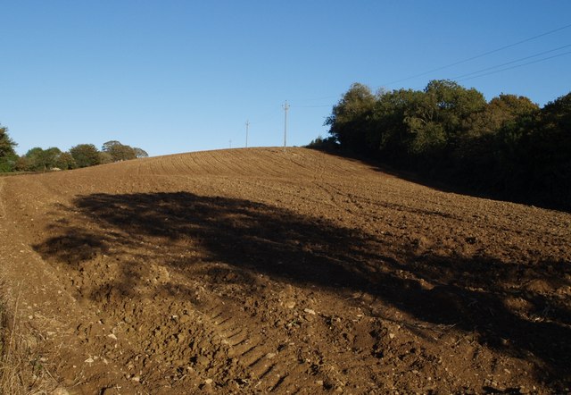
Long Wood is not only a haven for wildlife but also a site of historical significance. The forest has been used for timber production for centuries, and remnants of old sawpits and charcoal platforms can still be found. These historical features give visitors a glimpse into the area's past and its importance as a natural resource.

Overall, Long Wood in Devon provides a tranquil and scenic escape for those looking to immerse themselves in nature. With its diverse wildlife, beautiful landscapes, and rich history, it is a must-visit destination for nature lovers and history enthusiasts alike.

If you have any feedback on the listing, please let us know in the comments section below.

Long Wood Images

Images are sourced within 2km of 50.924614/-4.0919037 or Grid Reference SS5315. Thanks to Geograph Open Source API. All images are credited.

Castle Hill Hillfort The northern rampart <span class="nowrap"><a title="https://historicengland.org.uk/listing/the-list/list-entry/1021417?section=official-list-entry" rel="nofollow ugc noopener" href="https://historicengland.org.uk/listing/the-list/list-entry/1021417?section=official-list-entry">Link</a><img style="margin-left:2px;" alt="External link" title="External link - shift click to open in new window" src="https://s1.geograph.org.uk/img/external.png" width="10" height="10"/></span>
Castle Hill Hillfort
The northern rampart LinkExternal link
The Wooleigh Brook. Two streams join at Whitsleighdown Cottage, St Giles in the Wood. A peaceful scene beside a quiet Devon lane, rarely used by visitors or locals alike.
The Wooleigh Brook.
Two streams join at Whitsleighdown Cottage, St Giles in the Wood. A peaceful scene beside a quiet Devon lane, rarely used by visitors or locals alike.
Wooleigh Brook, Devon The Wooleigh Brook, upstream from Whitsleighdown Cottage
Wooleigh Brook, Devon
The Wooleigh Brook, upstream from Whitsleighdown Cottage
Large farm roll near Ramscliffe Farm Farm roll by a footpath through a stubble field near Ramscliffe Farm. Whitsley Barton is on the hill top across the valley in the background.
Large farm roll near Ramscliffe Farm
Farm roll by a footpath through a stubble field near Ramscliffe Farm. Whitsley Barton is on the hill top across the valley in the background.
Neglected muck spreader A muck spreader is left on the side of a field near Ramscliffe Farm and has weeds growing in it.
Neglected muck spreader
A muck spreader is left on the side of a field near Ramscliffe Farm and has weeds growing in it.
Farm buildings at Brealeys A footpath follows the driveway on the left.
Farm buildings at Brealeys
A footpath follows the driveway on the left.
Maize field by the Torridge The river, flowing in a deep incised meander, is just some 10 metres through the trees on the left. To the right is the edge of Poundcleave Wood. The farm in the distance is Yeory.
Maize field by the Torridge
The river, flowing in a deep incised meander, is just some 10 metres through the trees on the left. To the right is the edge of Poundcleave Wood. The farm in the distance is Yeory.
Ploughed field at Abbot's Hill A field on the slopes of the Torridge valley, occupying part of a narrow ridge between large incised meanders of the river. Abbot's Hill Wood, to the right, plunges 60 metres to the river.
Ploughed field at Abbot's Hill
A field on the slopes of the Torridge valley, occupying part of a narrow ridge between large incised meanders of the river. Abbot's Hill Wood, to the right, plunges 60 metres to the river.
Lane at Abbot's Hill The little lane is completely enclosed by trees as it climbs from Cannsdown to swing round two sharp left corners, of which this is the first.
Lane at Abbot's Hill
The little lane is completely enclosed by trees as it climbs from Cannsdown to swing round two sharp left corners, of which this is the first.
Cannsdown and Brealeys A view across a valley from Beaford Footpath 8 near Abbot's Hill. Cannsdown  House is on the left and buildings at Brealeys to the right. The trees in the centre mark the lane climbing from the valley.
Cannsdown and Brealeys
A view across a valley from Beaford Footpath 8 near Abbot's Hill. Cannsdown House is on the left and buildings at Brealeys to the right. The trees in the centre mark the lane climbing from the valley.
Farm buildings, Woolleigh Barton Seen along a track across a field from Woolleigh Cross, a junction on the A3124. The prominent hill in the left background is Castle Hill, in <a href="https://www.geograph.org.uk/gridref/SS5216">SS5216</a>.
Farm buildings, Woolleigh Barton
Seen along a track across a field from Woolleigh Cross, a junction on the A3124. The prominent hill in the left background is Castle Hill, in SS5216.
Track in Blinsham Wood This woodland is on the south side of the Woolleigh Brook valley, on the northern slopes of Castle Hill.
Track in Blinsham Wood
This woodland is on the south side of the Woolleigh Brook valley, on the northern slopes of Castle Hill.
River Torridge near Undercleave The river is flowing to the right, in one of the large incised meanders along this part of its course. A track can be seen on the far side, leading to the farm at Undercleave, and a ford connected it to a track on this bank.
River Torridge near Undercleave
The river is flowing to the right, in one of the large incised meanders along this part of its course. A track can be seen on the far side, leading to the farm at Undercleave, and a ford connected it to a track on this bank.
Meanders on the Woolleigh Brook The tributary of the Torridge wiggles its way through a meadow between steep wooded valley sides; on the far side is Blinsham Wood.
Meanders on the Woolleigh Brook
The tributary of the Torridge wiggles its way through a meadow between steep wooded valley sides; on the far side is Blinsham Wood.
A3124 at Southdown The main road between Beaford and Torrington takes a bend on its descent towards the Woolleigh Brook valley.
A3124 at Southdown
The main road between Beaford and Torrington takes a bend on its descent towards the Woolleigh Brook valley.
Towards the Woolleigh Brook valley from Southdown Looking north from the A3124 at Southdown. The land slopes increasingly steeply away into the Woolleigh Brook valley. On the far side, in SS5317, the wooded slopes of the valley of the Whitsleigh Down Brook join the valley; the wood to the left is Palmer's Hill Copse.
Towards the Woolleigh Brook valley from Southdown
Looking north from the A3124 at Southdown. The land slopes increasingly steeply away into the Woolleigh Brook valley. On the far side, in SS5317, the wooded slopes of the valley of the Whitsleigh Down Brook join the valley; the wood to the left is Palmer's Hill Copse.
Field at Southdown Looking in the other direction from the A3124 than that shown in <a href="https://www.geograph.org.uk/photo/655062">SS5316 : Towards the Woolleigh Brook valley from Southdown</a>, across the dome of the interfluve between the Torridge and the Woolleigh Brook valleys.
Field at Southdown
Looking in the other direction from the A3124 than that shown in SS5316 : Towards the Woolleigh Brook valley from Southdown, across the dome of the interfluve between the Torridge and the Woolleigh Brook valleys.
Woolleigh Cross Both roads leave the square within 100 metres and drop to the Woolleigh Brook; the one on the right does both more immediately. The main road is the A3124, continuing the winding descent shown in <a href="https://www.geograph.org.uk/photo/655058">SS5316 : A3124 at Southdown</a>. A few yards off to the left is the scene shown in <a href="https://www.geograph.org.uk/photo/648594">SS5316 : Farm buildings, Woolleigh Barton</a>.
Woolleigh Cross
Both roads leave the square within 100 metres and drop to the Woolleigh Brook; the one on the right does both more immediately. The main road is the A3124, continuing the winding descent shown in SS5316 : A3124 at Southdown. A few yards off to the left is the scene shown in SS5316 : Farm buildings, Woolleigh Barton.
Show me another place!

Long Wood is located at Grid Ref: SS5315 (Lat: 50.924614, Lng: -4.0919037)

Administrative County: Devon

District: Torridge

Police Authority: Devon and Cornwall

What 3 Words

///kindest.blown.hardly. Near Great Torrington, Devon

Related Wikis

Potheridge

Potheridge (alias Great Potheridge, Poderigge, Poderidge or Powdrich) is a former Domesday Book estate in the parish of Merton, in the historic hundred...

Brealeys

Brealeys is a village in Devon, England. == References == == External links == Media related to Brealeys at Wikimedia Commons

St Giles in the Wood

St Giles in the Wood is a village and civil parish in the Torridge district of Devon, England. The village lies about 2.5 miles east of the town of Great...

Parish church of St Giles, St Giles in the Wood

The large parish church of St Giles, which is in the village of St Giles in the Wood, Devon, England, came into being in 1309. When it was restored in...

Beaford

Beaford is a village and civil parish in the Torridge district of Devon, England. The village is about five miles south-east of Great Torrington, on the...
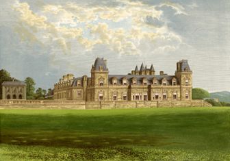
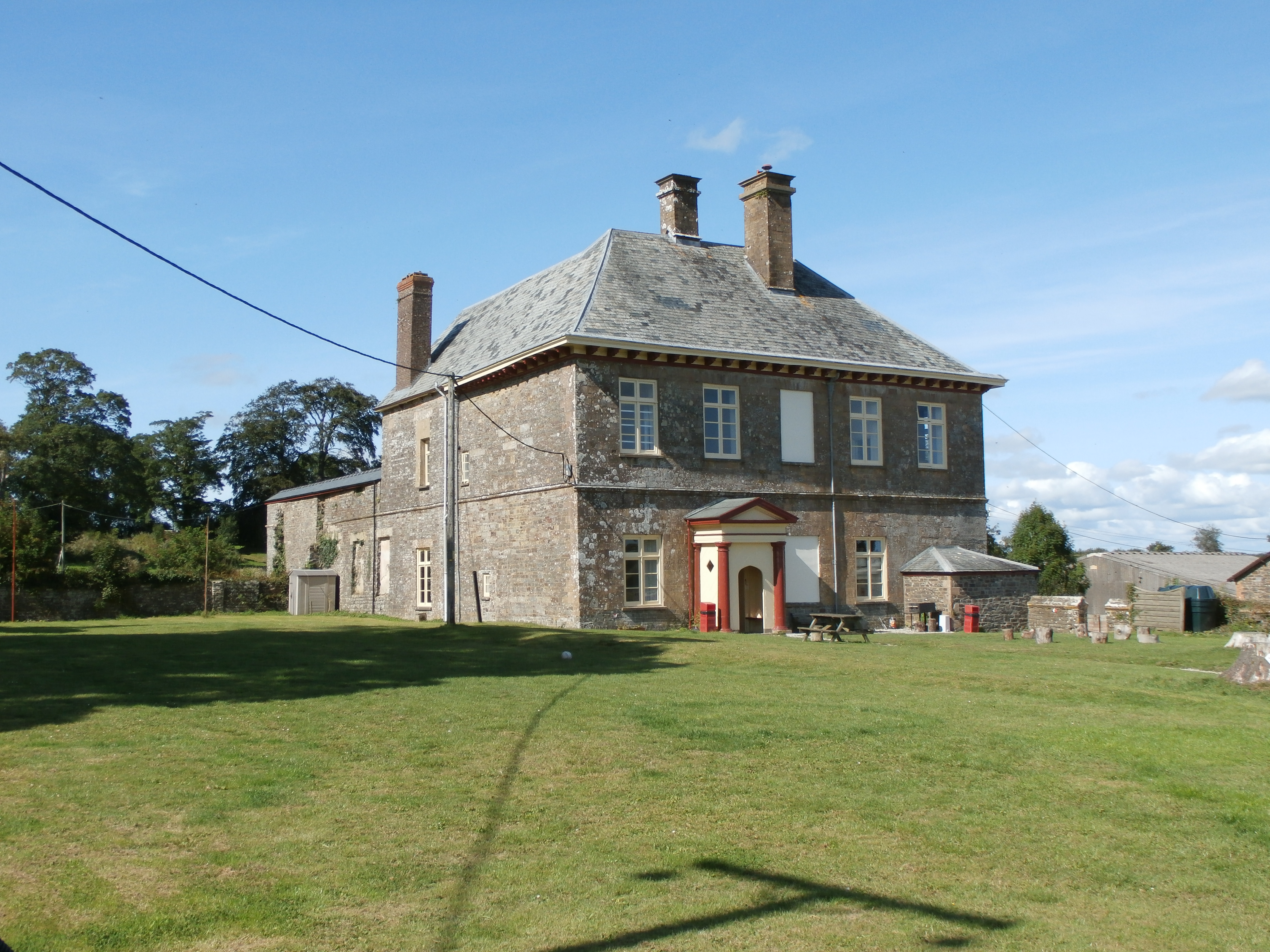
Stevenstone

Stevenstone is a former manor within the parish of St Giles in the Wood, near Great Torrington, North Devon. It was the chief seat of the Rolle family...
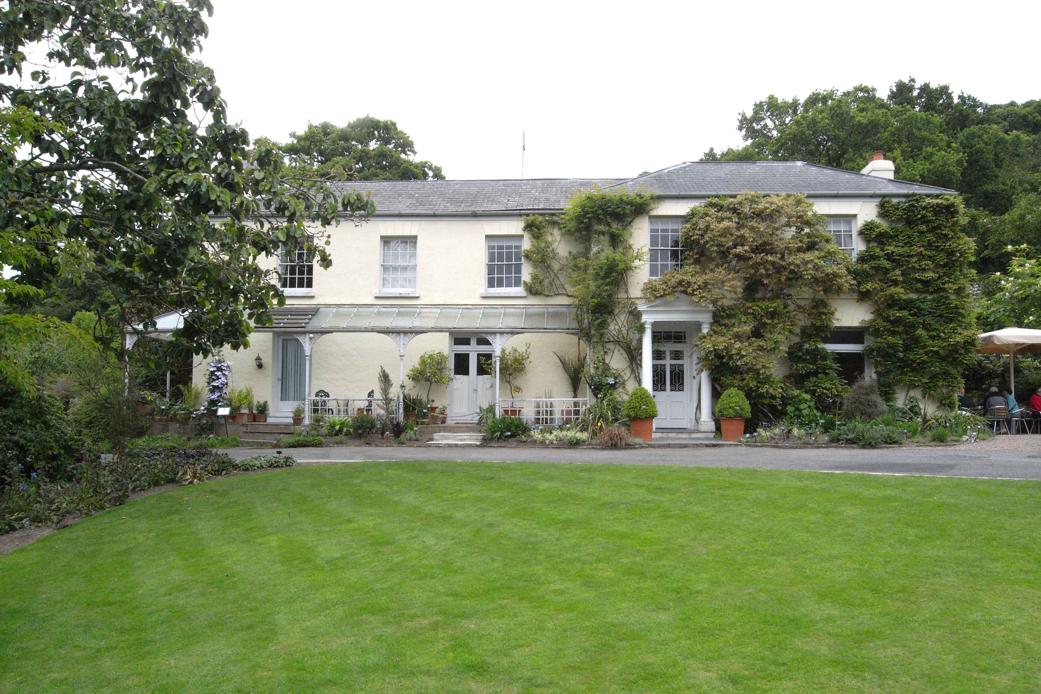
RHS Garden Rosemoor

RHS Garden Rosemoor is a public display garden run by the Royal Horticultural Society in north Devon, England. Rosemoor is about 1 mile (1.6 km) south...

Dunsbear Halt railway station

Dunsbear Halt was a relatively well-used halt on the initially privately run North Devon and Cornwall Junction Light Railway. Opened in 1925 and closed...

Have you been to Long Wood?

Leave your review of Long Wood below (or comments, questions and feedback).