Higherfield Plantation
Wood, Forest in Devon West Devon
England
Higherfield Plantation
Higherfield Plantation is a beautiful woodland area located in Devon, England. Covering a vast expanse of land, this plantation is known for its rich biodiversity and stunning natural beauty. The plantation is situated in a hilly region, offering visitors breathtaking panoramic views of the surrounding landscapes.
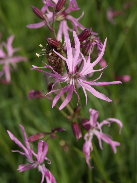
The woodland is primarily composed of various species of trees, including oak, beech, and pine, creating a diverse and vibrant ecosystem. The trees provide habitat and shelter for a wide range of wildlife, making it a haven for nature enthusiasts and wildlife photographers. Visitors can spot a plethora of bird species, such as woodpeckers, owls, and various songbirds, as well as small mammals like squirrels and foxes.
Higherfield Plantation is a popular destination for outdoor activities such as hiking, walking, and picnicking. It offers a network of well-maintained trails that wind through the woodland, allowing visitors to explore its hidden gems. The trails vary in difficulty and length, catering to both beginners and experienced hikers.
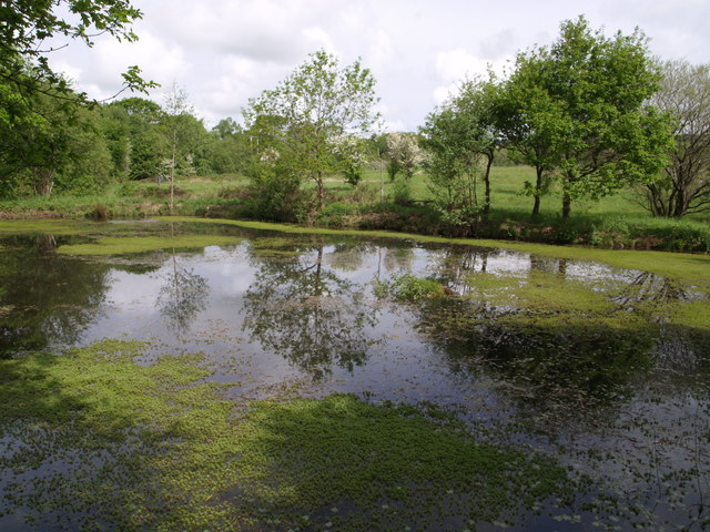
The plantation is also home to a charming stream that meanders through the woodland, adding to its natural allure. The soothing sound of running water provides a tranquil atmosphere and further enhances the visitor experience.
Overall, Higherfield Plantation is a remarkable natural treasure in Devon. Its diverse flora and fauna, coupled with its picturesque landscapes and recreational opportunities, make it a must-visit destination for nature lovers and outdoor enthusiasts.
If you have any feedback on the listing, please let us know in the comments section below.
Higherfield Plantation Images
Images are sourced within 2km of 50.802395/-4.0805631 or Grid Reference SS5302. Thanks to Geograph Open Source API. All images are credited.


Higherfield Plantation is located at Grid Ref: SS5302 (Lat: 50.802395, Lng: -4.0805631)
Administrative County: Devon
District: West Devon
Police Authority: Devon and Cornwall
What 3 Words
///cleanser.funded.looked. Near Hatherleigh, Devon
Related Wikis

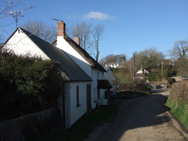
Hatherleigh
Hatherleigh is a small market town in west Devon, England. It hosts an arts festival in July, and a carnival in November featuring two flaming tar barrel...
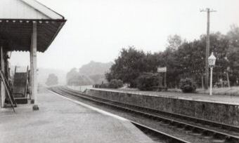
Hatherleigh railway station
Hatherleigh Railway Station was a station on the North Devon and Cornwall Junction Light Railway between Torrington and Halwill Junction, serving the town...

River Lew
The River Lew can refer to either of two short rivers that lie close to each other in Devon, England. The more northerly of the two rises just south of...
Inwardleigh
Inwardleigh is a village and civil parish about 3 and a half miles north north west of Okehampton railway station, in the West Devon district, in the county...
Have you been to Higherfield Plantation?
Leave your review of Higherfield Plantation below (or comments, questions and feedback).