Chester Park
Settlement in Gloucestershire
England
Chester Park
Chester Park is a picturesque suburb located in Gloucestershire, England. Situated on the outskirts of the historic city of Gloucester, it is known for its charming residential area and proximity to beautiful green spaces.
The heart of Chester Park is a well-planned residential neighborhood, boasting a mix of detached houses, semi-detached homes, and apartments. The area is highly sought after due to its peaceful atmosphere, well-maintained streets, and friendly community. The houses are often characterized by their classic architecture, with many properties featuring well-manicured gardens and driveways.
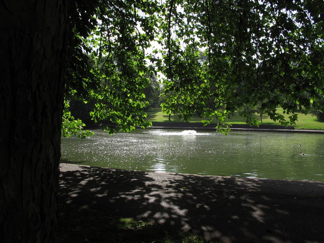
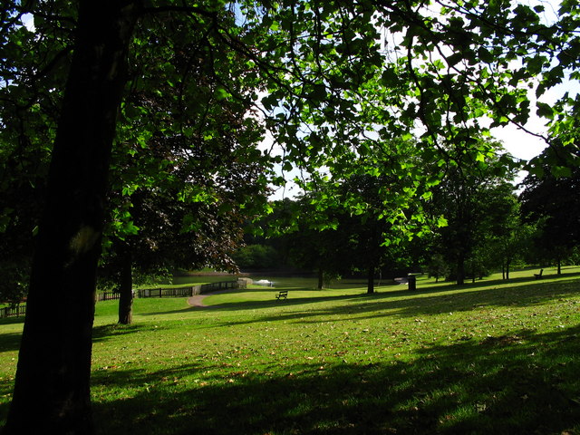
One of the key attractions of Chester Park is its close proximity to several stunning green spaces. Residents can enjoy the tranquility of nature by visiting the nearby Robinswood Hill Country Park. This expansive park offers breathtaking views of the surrounding countryside and various walking trails for outdoor enthusiasts.
The suburb also benefits from excellent transport links, with easy access to the M5 motorway and Gloucester train station. This makes commuting to nearby cities like Bristol, Cheltenham, and Birmingham convenient for residents.
In terms of amenities, Chester Park offers a range of local shops, supermarkets, and pubs, ensuring that residents have all the necessary conveniences close at hand. For further shopping and entertainment options, the vibrant city center of Gloucester is just a short drive away.
Overall, Chester Park offers a peaceful and picturesque suburban lifestyle with easy access to green spaces, amenities, and transport links.
If you have any feedback on the listing, please let us know in the comments section below.
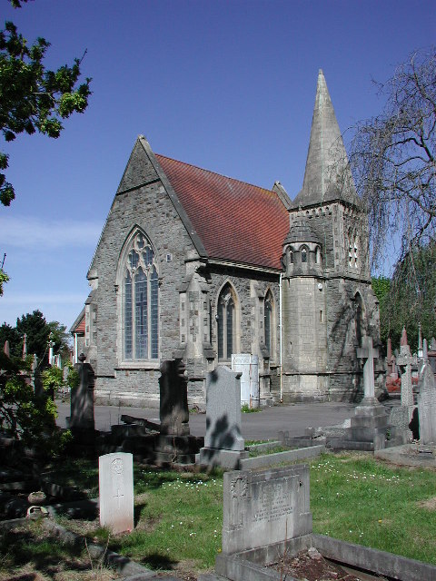
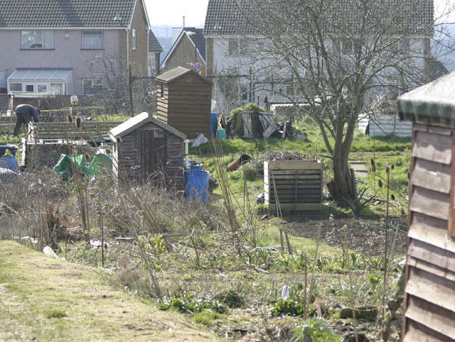
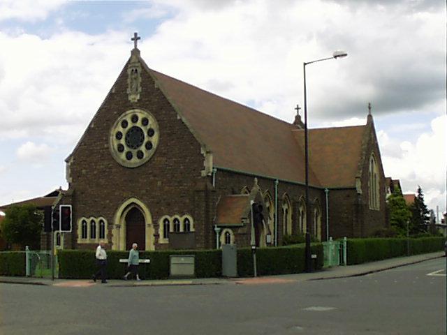
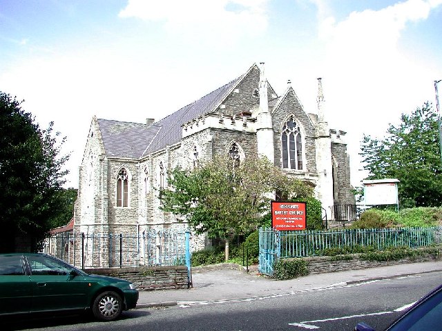
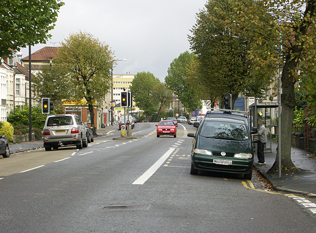
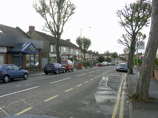
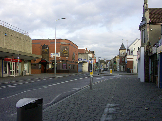
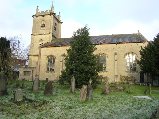
Chester Park Images
Images are sourced within 2km of 51.46823/-2.5244046 or Grid Reference ST6374. Thanks to Geograph Open Source API. All images are credited.


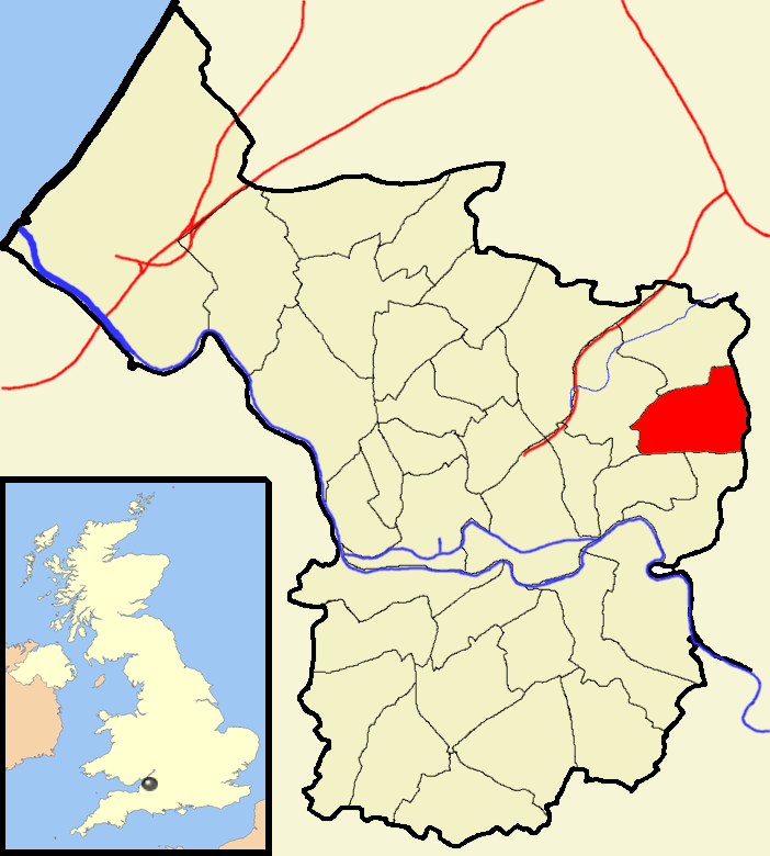
Chester Park is located at Grid Ref: ST6374 (Lat: 51.46823, Lng: -2.5244046)
Unitary Authority: Bristol
Police Authority: Avon and Somerset
What 3 Words
///rescue.sprint.count. Near Kingswood, Gloucestershire
Nearby Locations
Related Wikis

Speedwell, Bristol
Speedwell is an area of east Bristol, Part of the Hillfields ward. It has a mixture of residential and industrial land. The 2014 population estimate of...

Bristol Brunel Academy
Bristol Brunel Academy is a mixed sex Secondary Academy, located in Speedwell in the ward of Hillfields, Bristol, England. The academy is named after Isambard...
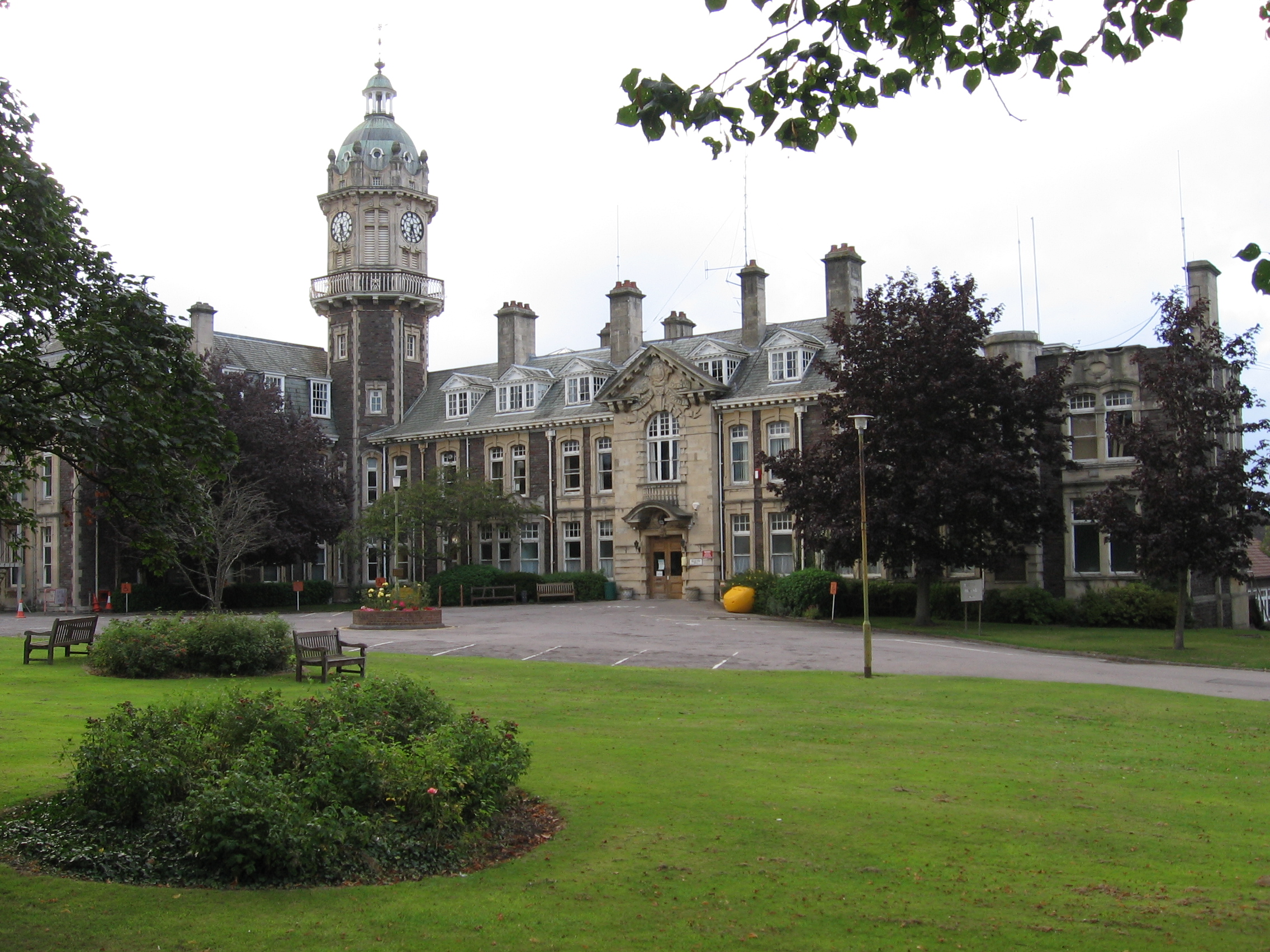
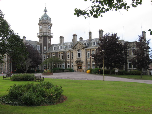
Cossham Memorial Hospital
Cossham Memorial Hospital is a community hospital, founded in 1907, in Hillfields, Bristol, England. == History == The hospital was built by Frederick...
Two Mile Hill, Bristol
Two Mile Hill is a small district and parish on the eastern edge of the City of Bristol, just to the west of Kingswood which itself is in South Gloucestershire...
Lodge Hill, Bristol
Lodge Hill is a hill and residential area of Bristol, England. It is in the electoral ward of Hillfields, Bristol, separating the large outer urban areas...
Hillfields, Bristol
Hillfields is an area and ward of north-east Bristol. The Ward of Hillfields covers the following areas of Bristol: Chester Park Hillfields East Hillfields...

Lodge Causeway
Lodge Causeway is an ancient passage through the former Royal Forest of Kingswood and now the main road between Fishponds and Kingswood in Bristol, England...
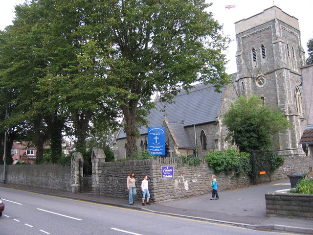
Bristol Community Church
Bristol Community Church (formerly the Bristol New Covenant Church) is a charismatic church located in Kingswood, Bristol, England. == History == The Bristol...
Nearby Amenities
Located within 500m of 51.46823,-2.5244046Have you been to Chester Park?
Leave your review of Chester Park below (or comments, questions and feedback).