Burchells Green
Settlement in Gloucestershire
England
Burchells Green

Burchells Green is a small village located in the county of Gloucestershire, England. Situated in the Cotswolds, an Area of Outstanding Natural Beauty, Burchells Green offers picturesque surroundings and a peaceful rural atmosphere. The village is situated approximately 8 miles southwest of the town of Cheltenham.
Known for its natural beauty, Burchells Green is surrounded by rolling hills, meadows, and woodlands, offering residents and visitors plenty of opportunities for outdoor activities such as hiking, cycling, and horseback riding. The village itself consists of a small cluster of traditional stone houses, adding to its charm and character.
While Burchells Green is primarily a residential area, there are a few amenities available to its residents. The village has a local pub, providing a cozy gathering place for locals and visitors alike. Additionally, there are several nearby villages that offer more extensive amenities, including shops, schools, and healthcare facilities.
For those interested in history and culture, Burchells Green is located within close proximity to several historical sites and attractions. The nearby town of Cheltenham is renowned for its Regency architecture and hosts various cultural events throughout the year, such as the Cheltenham Literature Festival and the Cheltenham Jazz Festival.
Overall, Burchells Green offers a tranquil and idyllic setting for those seeking a countryside retreat while still being within reach of larger towns and cultural attractions.
If you have any feedback on the listing, please let us know in the comments section below.
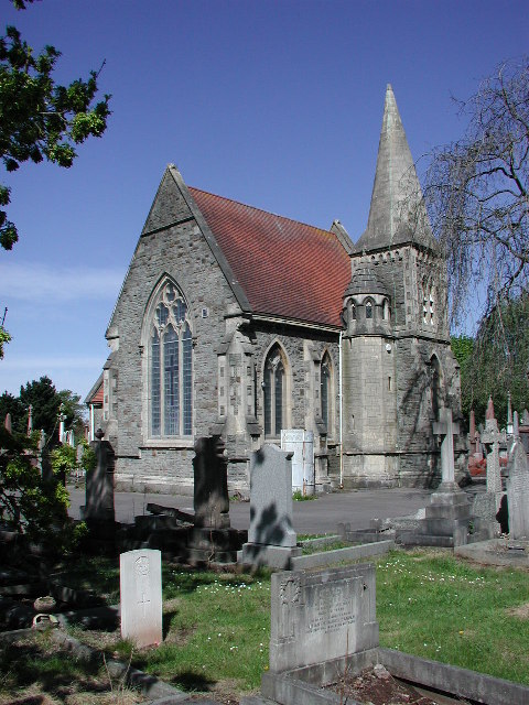
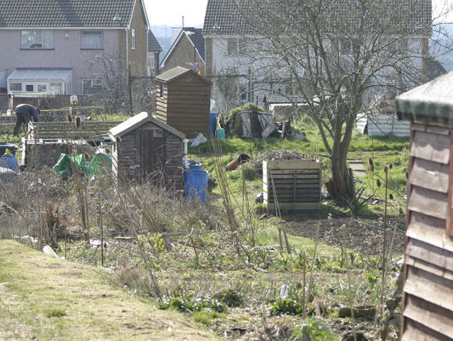
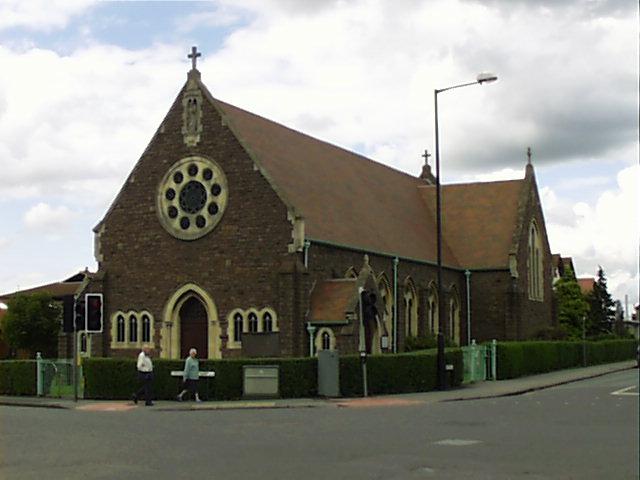
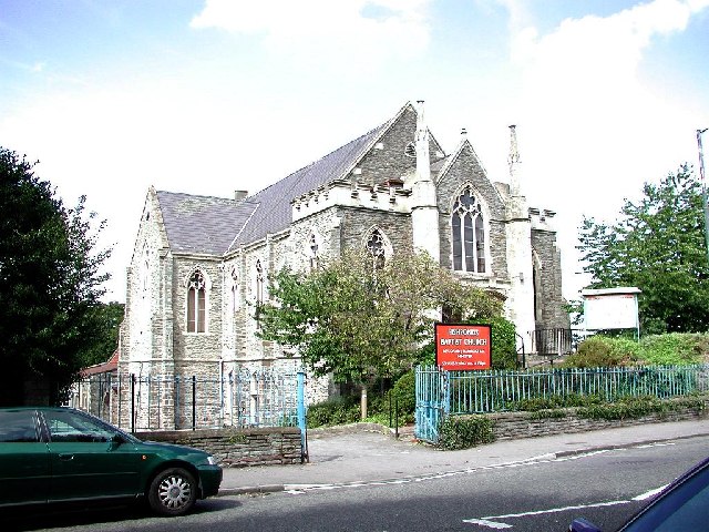
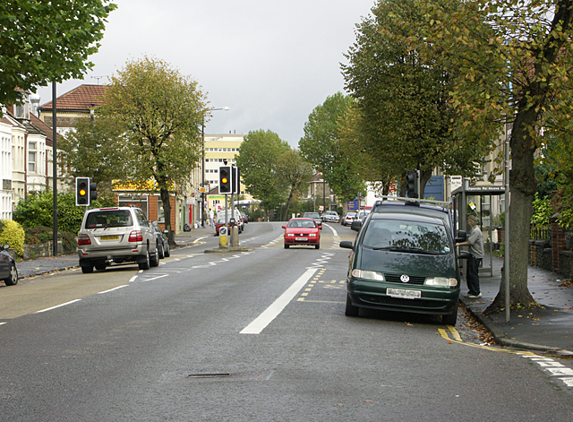
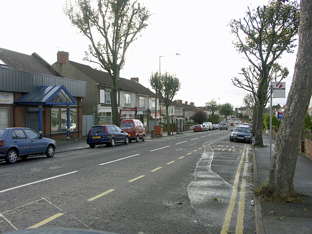
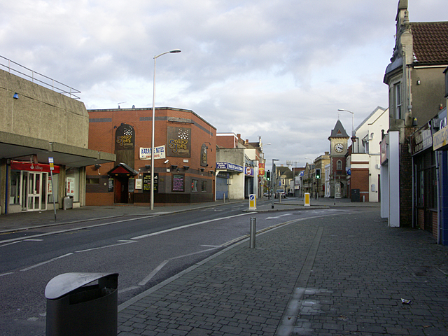
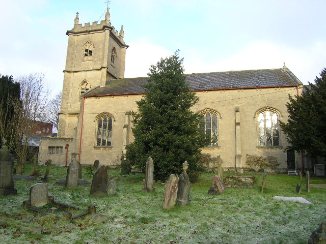
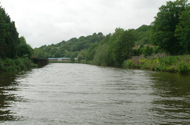
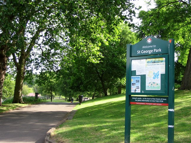
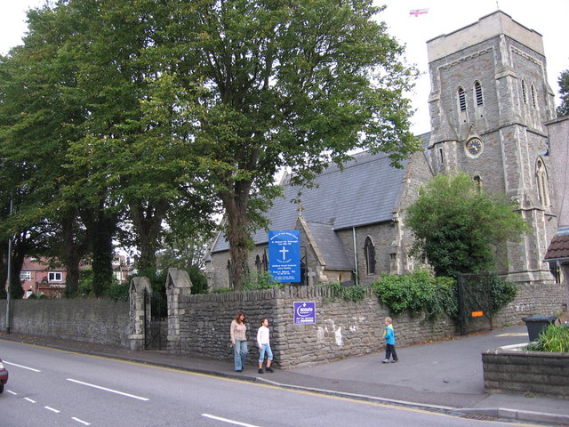
Burchells Green Images
Images are sourced within 2km of 51.466116/-2.5265829 or Grid Reference ST6374. Thanks to Geograph Open Source API. All images are credited.


Burchells Green is located at Grid Ref: ST6374 (Lat: 51.466116, Lng: -2.5265829)
Unitary Authority: Bristol
Police Authority: Avon and Somerset
What 3 Words
///guides.remark.left. Near Kingswood, Gloucestershire
Nearby Locations
Related Wikis

Bristol Brunel Academy
Bristol Brunel Academy is a mixed sex Secondary Academy, located in Speedwell in the ward of Hillfields, Bristol, England. The academy is named after Isambard...

Speedwell, Bristol
Speedwell is an area of east Bristol, Part of the Hillfields ward. It has a mixture of residential and industrial land. The 2014 population estimate of...
Two Mile Hill, Bristol
Two Mile Hill is a small district and parish on the eastern edge of the City of Bristol, just to the west of Kingswood which itself is in South Gloucestershire...
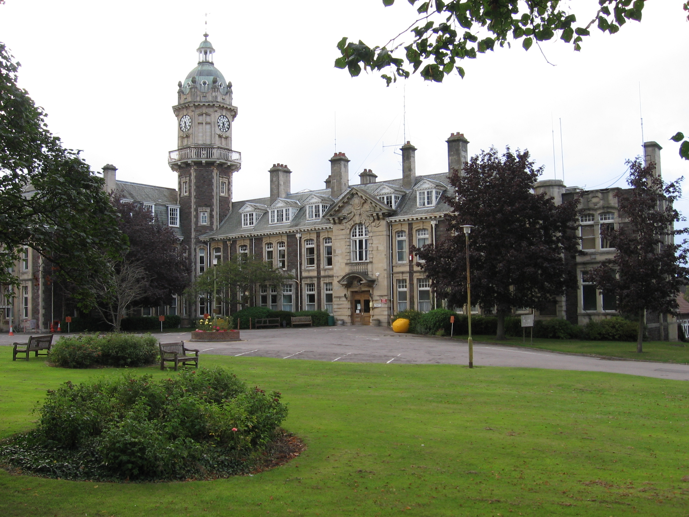
Cossham Memorial Hospital
Cossham Memorial Hospital is a community hospital, founded in 1907, in Hillfields, Bristol, England. == History == The hospital was built by Frederick...
Nearby Amenities
Located within 500m of 51.466116,-2.5265829Have you been to Burchells Green?
Leave your review of Burchells Green below (or comments, questions and feedback).