Burdale

Settlement in Yorkshire Ryedale

England

Burdale

Path  on  dismantled  Malton  to  Driffield  railway  line
Path on dismantled Malton to Driffield railway line Credit: Martin Dawes

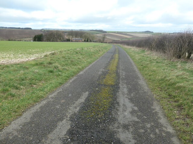
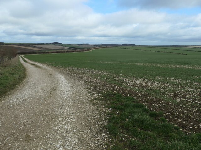
Burdale is a small picturesque village located in the county of Yorkshire, England. Situated in the district of Ryedale, it is nestled in the rolling countryside of the Howardian Hills, offering breathtaking views and a tranquil atmosphere. The village is surrounded by lush green fields and woodland, making it a haven for nature lovers and walkers.

The village itself is characterized by its charming stone cottages, many of which date back to the 18th and 19th centuries, adding to its rustic charm. Burdale is home to a close-knit community, with a population of around 200 residents. The village features a beautiful village green, complete with a historic stone cross, which serves as a focal point for events and gatherings throughout the year.

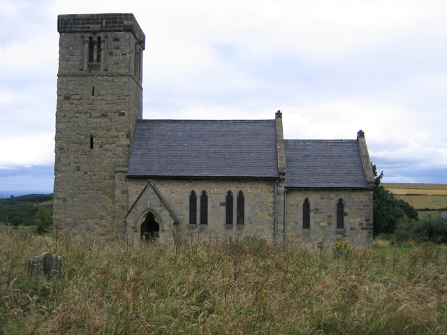
Burdale boasts a rich history, with evidence of Roman settlements in the area. The village church, St. Mary's, is a notable landmark, dating back to the 12th century. Its stunning architecture and stained glass windows attract visitors from near and far.

While Burdale may be small, it offers a range of amenities for its residents and visitors. The village has a cozy pub, The Burdale Arms, where locals gather for a pint and a hearty meal. Additionally, there is a village hall that hosts various social and community events.

Overall, Burdale is a hidden gem in the heart of Yorkshire, offering a peaceful retreat from the hustle and bustle of modern life, while also providing a glimpse into the rich history and natural beauty of the region.

If you have any feedback on the listing, please let us know in the comments section below.
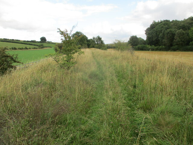
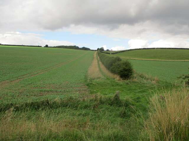
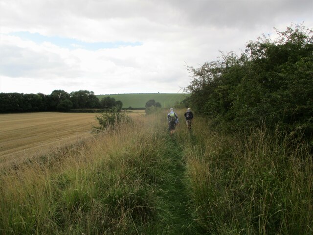
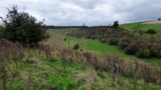
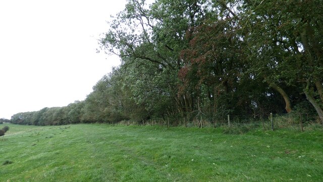
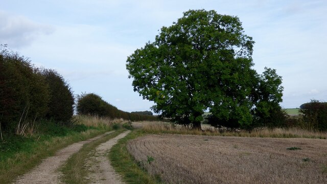
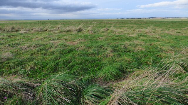
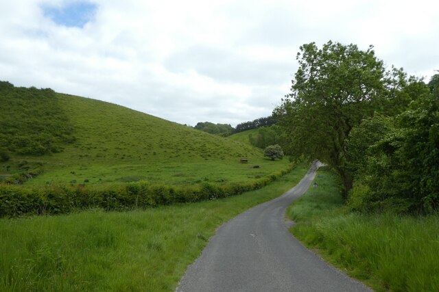
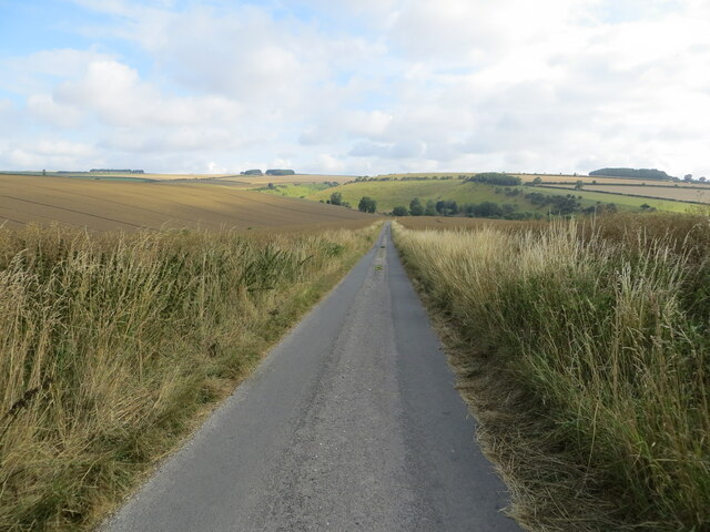
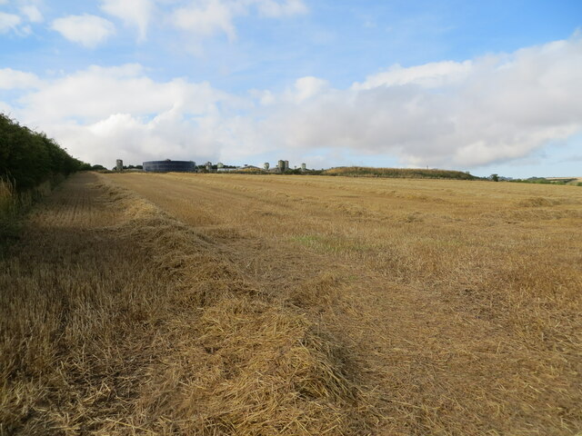
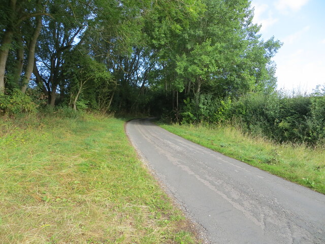
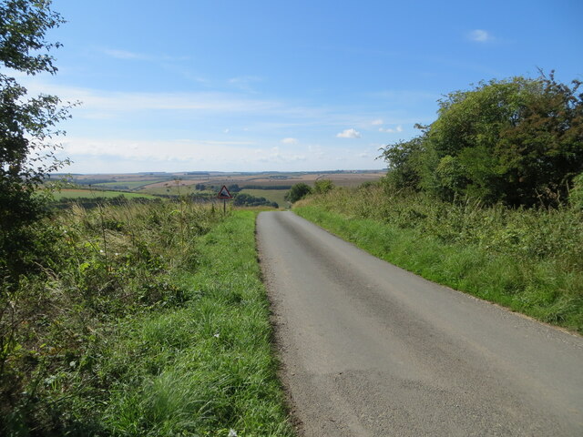
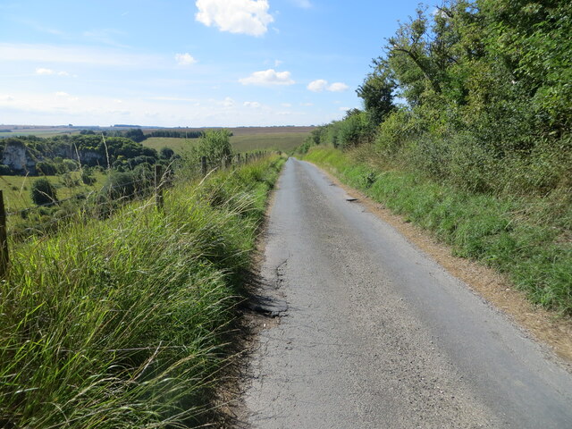
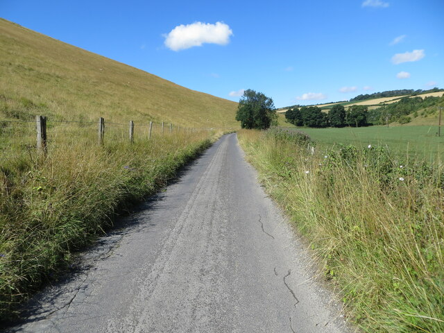
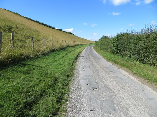
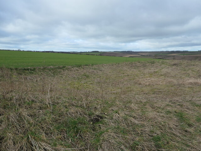
Burdale Images

Images are sourced within 2km of 54.049493/-0.66933217 or Grid Reference SE8762. Thanks to Geograph Open Source API. All images are credited.

Path  on  dismantled  Malton  to  Driffield  railway  line
Path on dismantled Malton to Driffield railway line
Root  crop  in  fields  on  wold  side From dismantled railway line toward Ling Farm in the shelter belt trees left of centre. Crop used for sheep fodder over winter
Root crop in fields on wold side
From dismantled railway line toward Ling Farm in the shelter belt trees left of centre. Crop used for sheep fodder over winter
Walking  dismantled  railway  line The footpath goes left back to the road at the end of stubble field, alongside the hedge
Walking dismantled railway line
The footpath goes left back to the road at the end of stubble field, alongside the hedge
Deep Dale
Deep Dale
North Plantation at Deep Dale
Bridleway and tree north of William Dale
Tumulus north of William Dale A slight rise in the ground level denotes the position of this severely eroded prehistoric round barrow.
Tumulus north of William Dale
A slight rise in the ground level denotes the position of this severely eroded prehistoric round barrow.
Road in Brubber Dale Looking along the road passing through Brubber Dale to Fridaythorpe.
Road in Brubber Dale
Looking along the road passing through Brubber Dale to Fridaythorpe.
Minor road between Fridaythorpe and Burdale Looking north-westward from East Yorkshire into North Yorkshire. The boundary is just behind the photographer.
Minor road between Fridaythorpe and Burdale
Looking north-westward from East Yorkshire into North Yorkshire. The boundary is just behind the photographer.
Harvested cereal crop field leaving straw to be baled Looking south-westward towards Fridaythorpe Farm.
Harvested cereal crop field leaving straw to be baled
Looking south-westward towards Fridaythorpe Farm.
Minor road between Fimber and Burdale Looking north-westward.
Minor road between Fimber and Burdale
Looking north-westward.
Minor road descending towards Burdale House Looking south-eastward. This section of the road is used by the Chalklands Way Long Distance Path.
Minor road descending towards Burdale House
Looking south-eastward. This section of the road is used by the Chalklands Way Long Distance Path.
Minor road descending towards Burdale House The lend to the left drops dramatically into Fairy Dale. At this point the road forms part of the Chalklands Way Long Distance Path.
Minor road descending towards Burdale House
The lend to the left drops dramatically into Fairy Dale. At this point the road forms part of the Chalklands Way Long Distance Path.
Minor dale bottom road near to Burdale House Farm Looking wastward.
Minor dale bottom road near to Burdale House Farm
Looking wastward.
Dale bottome road between Burdale and Raistthorpe Looking south-westward.
Dale bottome road between Burdale and Raistthorpe
Looking south-westward.
Abandoned dew pond, near Paradise Cottages Shown on the large-scale OS map surveyed in 1891. Now just a circular depression in rough grassland.
Abandoned dew pond, near Paradise Cottages
Shown on the large-scale OS map surveyed in 1891. Now just a circular depression in rough grassland.
The road to Paradise Cottages An 'other route with public access'.
The road to Paradise Cottages
An 'other route with public access'.
Farm track giving access to Brubber Dale Heading east from Paradise Cottages. The section along the hedge is shown as a 'bridle road' on the large-scale OS map surveyed in 1891, but there is no public access today.
Farm track giving access to Brubber Dale
Heading east from Paradise Cottages. The section along the hedge is shown as a 'bridle road' on the large-scale OS map surveyed in 1891, but there is no public access today.
Show me another place!

Burdale is located at Grid Ref: SE8762 (Lat: 54.049493, Lng: -0.66933217)

Division: East Riding

Administrative County: North Yorkshire

District: Ryedale

Police Authority: North Yorkshire

What 3 Words

///detergent.upholds.parkway. Near Fimber, East Yorkshire

Related Wikis

Burdale railway station

Burdale railway station was a station on the Malton and Driffield Junction Railway in North Yorkshire, England. == History and description == Burdale...

Burdale, North Yorkshire

Burdale is a hamlet in North Yorkshire, England, 8 miles (13 km) south-east of Malton. It lies in a deep valley (or dale), also known as Burdale, in the...

Wharram

Wharram is a civil parish in North Yorkshire, England. It lies on the Yorkshire Wolds, 6 miles (10 km) south-east of Malton. The principal settlement is...

Wharram Percy

Wharram Percy is a deserted medieval village and former civil parish near Wharram-le-Street, now in the parish of Wharram, on the western edge of the chalk...

Nearby Amenities

Located within 500m of 54.049493,-0.66933217
Post Box
Collection Times: Mo-Fr 09:00; Sa 07:00
Operator: Royal Mail
Post Box Type: lamp
Postal Code: YO17
Ref: YO17 117
Royal Cypher: EIIR
Royal Cypher Wikidata: Q33102113
Lat/Long: 54.0496633/-0.6691508
Burdale
Abandoned Railway: station
Railway: site
Source: NPE
Lat/Long: 54.0503339/-0.6697695
Natural: spring
Lat/Long: 54.0497242/-0.6711162
Natural: spring
Lat/Long: 54.0497635/-0.6712055
Natural: spring
Lat/Long: 54.0498291/-0.6711608
The data included in this document is from www.openstreetmap.org. The data is made available under ODbL.

Have you been to Burdale?

Leave your review of Burdale below (or comments, questions and feedback).