Cutmere Wood

Wood, Forest in Cornwall

England

Cutmere Wood

Railway Bridge over the A38 at Trerulefoot The A38 is a major A-class trunk route. When first designated in 1922, it ran from Derby to Plymouth but it was later extended at both ends so that it now runs for 292 miles from Mansfield in Nottinghamshire to Bodmin in Cornwall.

Prior to the opening of the M5 motorway in the 1960s and 1970s, the A38 formed the main "holiday route" from the Midlands to Somerset, Devon and Cornwall and the south-western section was notorious at holiday times for the congestion. Nowadays, for most of the southern section, the A38 is a fairly quiet road shadowing the M5 extremely closely; often running alongside the motorway as a single carriageway road. The section between Exeter and Plymouth is, however, a busy dual carriageway which serves as the southern extension of the M5 and is known as “the Devon Expressway”.

More information at <span class="nowrap"><a title="http://en.wikipedia.org/wiki/A38_road" rel="nofollow ugc noopener" href="http://en.wikipedia.org/wiki/A38_road">Link</a><img style="margin-left:2px;" alt="External link" title="External link - shift click to open in new window" src="https://s1.geograph.org.uk/img/external.png" width="10" height="10"/></span>  (Wikipedia) and <span class="nowrap"><a title="http://www.sabre-roads.org.uk/wiki/index.php?title=A38" rel="nofollow ugc noopener" href="http://www.sabre-roads.org.uk/wiki/index.php?title=A38">Link</a><img style="margin-left:2px;" alt="External link" title="External link - shift click to open in new window" src="https://s1.geograph.org.uk/img/external.png" width="10" height="10"/></span>  (SABRE).
Railway Bridge over the A38 at Trerulefoot Credit: David Dixon

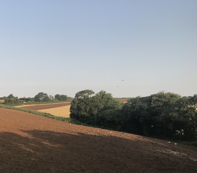
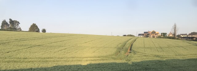
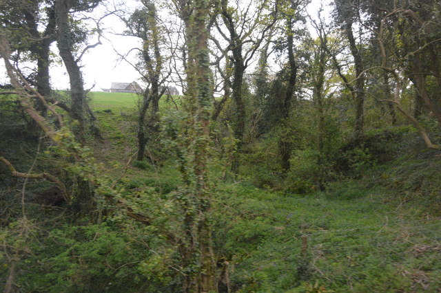
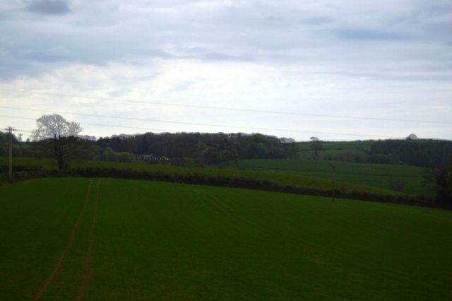
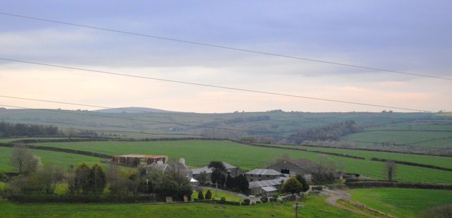
Cutmere Wood is a charming woodland located in Cornwall, England. Nestled amidst the picturesque landscape of the Tamar Valley, this forest offers a peaceful retreat for nature enthusiasts and outdoor lovers alike. Spanning an area of approximately 50 hectares, Cutmere Wood boasts a diverse range of native trees, including beech, oak, and hazel, which create a dense canopy overhead.

The woodland is characterized by its enchanting atmosphere, with sunlight filtering through the foliage, casting dappled shadows on the forest floor. A network of well-maintained footpaths meanders through the wood, allowing visitors to explore its hidden corners and discover the abundance of flora and fauna that call it home. Bluebells carpet the forest floor in spring, creating a stunning display of vibrant color, while in autumn, the woodland is adorned with a mosaic of hues as the leaves change.

Cutmere Wood is not only a haven for plant life but also a sanctuary for various wildlife species. Birdwatchers will delight in the opportunity to spot rare and native birds, such as woodpeckers and tawny owls, among the trees. Squirrels can be seen scurrying up and down the trunks, gathering food, while deer occasionally make an appearance, adding to the sense of tranquility.

Visitors to Cutmere Wood can take advantage of the picnic areas and benches that are scattered throughout, providing the perfect spot to rest and soak in the natural beauty. The wood is easily accessible, with ample parking available nearby, and there are also guided walks and nature trails for those wishing to learn more about the woodland's ecology and history.

Whether it's a leisurely stroll, a family outing, or a chance to connect with nature, Cutmere Wood offers a delightful experience for all who venture into its leafy embrace.

If you have any feedback on the listing, please let us know in the comments section below.
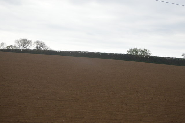
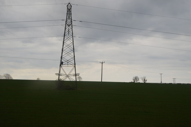
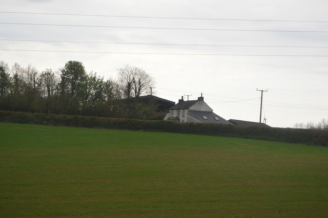
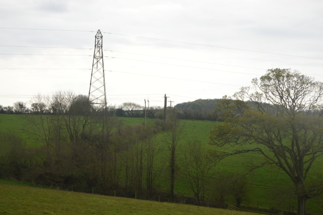
Cutmere Wood Images

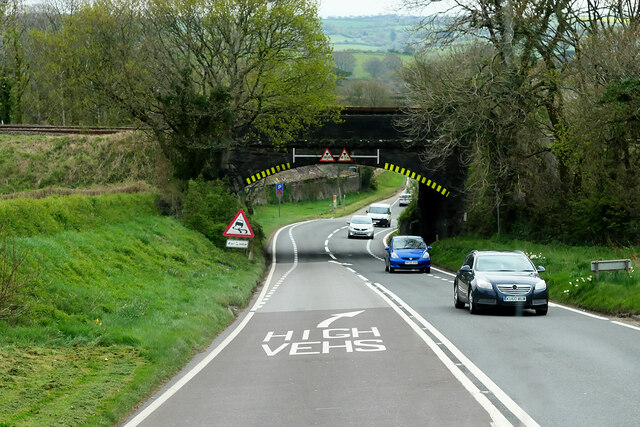
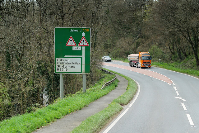
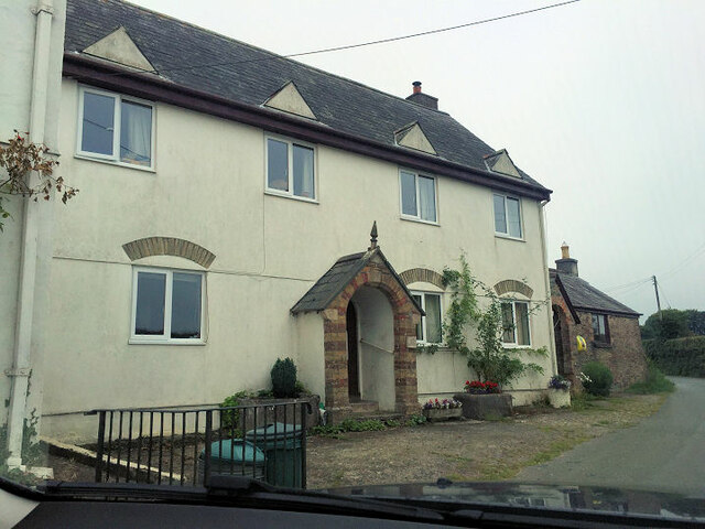
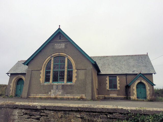
Images are sourced within 2km of 50.41958/-4.3565288 or Grid Reference SX3260. Thanks to Geograph Open Source API. All images are credited.

Railway Bridge over the A38 at Trerulefoot The A38 is a major A-class trunk route. When first designated in 1922, it ran from Derby to Plymouth but it was later extended at both ends so that it now runs for 292 miles from Mansfield in Nottinghamshire to Bodmin in Cornwall.

Prior to the opening of the M5 motorway in the 1960s and 1970s, the A38 formed the main "holiday route" from the Midlands to Somerset, Devon and Cornwall and the south-western section was notorious at holiday times for the congestion. Nowadays, for most of the southern section, the A38 is a fairly quiet road shadowing the M5 extremely closely; often running alongside the motorway as a single carriageway road. The section between Exeter and Plymouth is, however, a busy dual carriageway which serves as the southern extension of the M5 and is known as “the Devon Expressway”.

More information at <span class="nowrap"><a title="http://en.wikipedia.org/wiki/A38_road" rel="nofollow ugc noopener" href="http://en.wikipedia.org/wiki/A38_road">Link</a><img style="margin-left:2px;" alt="External link" title="External link - shift click to open in new window" src="https://s1.geograph.org.uk/img/external.png" width="10" height="10"/></span>  (Wikipedia) and <span class="nowrap"><a title="http://www.sabre-roads.org.uk/wiki/index.php?title=A38" rel="nofollow ugc noopener" href="http://www.sabre-roads.org.uk/wiki/index.php?title=A38">Link</a><img style="margin-left:2px;" alt="External link" title="External link - shift click to open in new window" src="https://s1.geograph.org.uk/img/external.png" width="10" height="10"/></span>  (SABRE).
Railway Bridge over the A38 at Trerulefoot
The A38 is a major A-class trunk route. When first designated in 1922, it ran from Derby to Plymouth but it was later extended at both ends so that it now runs for 292 miles from Mansfield in Nottinghamshire to Bodmin in Cornwall. Prior to the opening of the M5 motorway in the 1960s and 1970s, the A38 formed the main "holiday route" from the Midlands to Somerset, Devon and Cornwall and the south-western section was notorious at holiday times for the congestion. Nowadays, for most of the southern section, the A38 is a fairly quiet road shadowing the M5 extremely closely; often running alongside the motorway as a single carriageway road. The section between Exeter and Plymouth is, however, a busy dual carriageway which serves as the southern extension of the M5 and is known as “the Devon Expressway”. More information at LinkExternal link (Wikipedia) and LinkExternal link (SABRE).
A38 west of Tideford
Layby on the A374 at Trerulefoot The A374 is the former route of the A38 between Marsh Mills and Trerulefoot by way of Plymouth city centre and the Torpoint Ferry. It is 16 miles long
<span class="nowrap"><a title="http://www.sabre-roads.org.uk/wiki/index.php?title=A374" rel="nofollow ugc noopener" href="http://www.sabre-roads.org.uk/wiki/index.php?title=A374">Link</a><img style="margin-left:2px;" alt="External link" title="External link - shift click to open in new window" src="https://s1.geograph.org.uk/img/external.png" width="10" height="10"/></span>
Layby on the A374 at Trerulefoot
The A374 is the former route of the A38 between Marsh Mills and Trerulefoot by way of Plymouth city centre and the Torpoint Ferry. It is 16 miles long LinkExternal link
Trerulefoot, Windy Ridge Trerulefoot is a village in southeast Cornwall, located approximately halfway between the towns of Saltash and Liskeard. The village has a farm shop, two cafés and a petrol filling station.
Trerulefoot, Windy Ridge
Trerulefoot is a village in southeast Cornwall, located approximately halfway between the towns of Saltash and Liskeard. The village has a farm shop, two cafés and a petrol filling station.
Trerulefoot, A374 Trerulefoot is a village in southeast Cornwall, located approximately halfway between the towns of Saltash and Liskeard. The village has a farm shop, two cafés and a petrol filling station.
Trerulefoot, A374
Trerulefoot is a village in southeast Cornwall, located approximately halfway between the towns of Saltash and Liskeard. The village has a farm shop, two cafés and a petrol filling station.
Bethany Methodist chapel
Bethany Methodist Church
Fields to the north of Trerulefoot
Field near Bethany
Field near Bethany
Field near Furze Park
The A38 Where the traffic merges approaching Trerulefoot.
The A38
Where the traffic merges approaching Trerulefoot.
Bara Wood
Bara Wood
Field near Bethany
Field near Bethany
Pylon near Higher Clennick
Furze Park
Furze Park
Field near Trenethick
Criffle Farm
Criffle Farm
Show me another place!

Cutmere Wood is located at Grid Ref: SX3260 (Lat: 50.41958, Lng: -4.3565288)

Unitary Authority: Cornwall

Police Authority: Devon and Cornwall

What 3 Words

///newsstand.junior.locating. Near Landrake, Cornwall

Related Wikis

Cutmere

Cutmere is a hamlet in the parish of St Germans, Cornwall, England. It is in the civil parish of Quethiock == References ==

Budge's Shop

Budge's Shop is a hamlet in Cornwall, England. It is half a mile northwest of Trerulefoot. According to the Post Office the 2011 census population was...
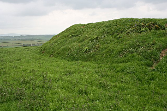
Padderbury Top

Padderbury Top is a hillfort about 2 miles (3.2 km) south-east of Menheniot, in Cornwall, England, named after the hill on which it is situated. It is...

Tilland

Tilland is a hamlet in the parish of Quethiock, Cornwall, England, United Kingdom. == References ==

Nearby Amenities

Located within 500m of 50.41958,-4.3565288
Power: tower
Lat/Long: 50.4181735/-4.3514021
Power: tower
Lat/Long: 50.4181984/-4.3551073
Power: tower
Lat/Long: 50.4182253/-4.359711
Power: pole
Lat/Long: 50.4171185/-4.3543785
Power: pole
Lat/Long: 50.4177217/-4.3579129
Power: pole
Lat/Long: 50.4174277/-4.3561734
Power: pole
Lat/Long: 50.4180175/-4.3596625
Power: pole
Lat/Long: 50.4171459/-4.3582302
Power: pole
Lat/Long: 50.4185714/-4.3622462
Power: pole
Lat/Long: 50.417667/-4.3579491
Power: pole
Lat/Long: 50.4182645/-4.361076
Power: pole
Lat/Long: 50.4219528/-4.3624539
Power: pole
Lat/Long: 50.4173714/-4.3612263
Power: pole
Lat/Long: 50.4169202/-4.3617627
Power: pole
Lat/Long: 50.4154999/-4.3538421
Power: pole
Lat/Long: 50.4161323/-4.3521121
Power: pole
Lat/Long: 50.4168501/-4.3528175
Power: pole
Lat/Long: 50.4165903/-4.3512806
The data included in this document is from www.openstreetmap.org. The data is made available under ODbL.

Have you been to Cutmere Wood?

Leave your review of Cutmere Wood below (or comments, questions and feedback).