Bara Wood

Wood, Forest in Cornwall

England

Bara Wood

Railway Bridge over the A38 at Trerulefoot The A38 is a major A-class trunk route. When first designated in 1922, it ran from Derby to Plymouth but it was later extended at both ends so that it now runs for 292 miles from Mansfield in Nottinghamshire to Bodmin in Cornwall.

Prior to the opening of the M5 motorway in the 1960s and 1970s, the A38 formed the main "holiday route" from the Midlands to Somerset, Devon and Cornwall and the south-western section was notorious at holiday times for the congestion. Nowadays, for most of the southern section, the A38 is a fairly quiet road shadowing the M5 extremely closely; often running alongside the motorway as a single carriageway road. The section between Exeter and Plymouth is, however, a busy dual carriageway which serves as the southern extension of the M5 and is known as “the Devon Expressway”.

More information at <span class="nowrap"><a title="http://en.wikipedia.org/wiki/A38_road" rel="nofollow ugc noopener" href="http://en.wikipedia.org/wiki/A38_road">Link</a><img style="margin-left:2px;" alt="External link" title="External link - shift click to open in new window" src="https://s1.geograph.org.uk/img/external.png" width="10" height="10"/></span>  (Wikipedia) and <span class="nowrap"><a title="http://www.sabre-roads.org.uk/wiki/index.php?title=A38" rel="nofollow ugc noopener" href="http://www.sabre-roads.org.uk/wiki/index.php?title=A38">Link</a><img style="margin-left:2px;" alt="External link" title="External link - shift click to open in new window" src="https://s1.geograph.org.uk/img/external.png" width="10" height="10"/></span>  (SABRE).
Railway Bridge over the A38 at Trerulefoot Credit: David Dixon

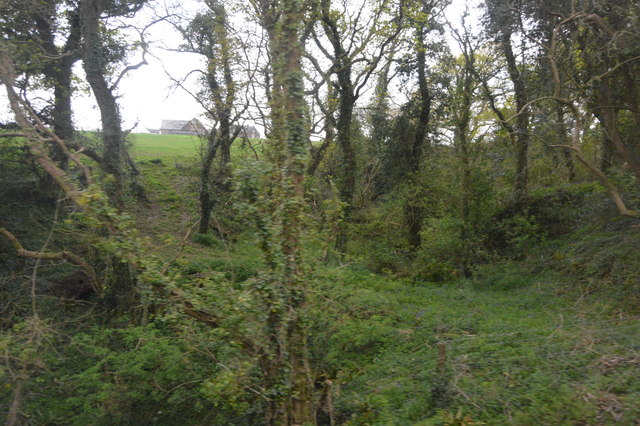
Bara Wood is a captivating forest located in Cornwall, England. Stretching across an area of approximately 100 acres, it is renowned for its lush greenery, diverse wildlife, and tranquil ambiance. Nestled amidst the picturesque countryside, Bara Wood is a haven for nature enthusiasts and a popular destination for hikers and walkers.

The forest boasts an impressive variety of tree species, including oak, beech, and ash, which create a dense canopy overhead, providing shade and shelter to the woodland floor below. The forest floor itself is adorned with an array of vibrant wildflowers, ferns, and mosses, offering a feast for the eyes during the spring and summer months.

Bara Wood is also home to an abundance of wildlife. The forest provides a natural habitat for various bird species, such as woodpeckers, owls, and thrushes, making it a birdwatcher's paradise. Additionally, deer, foxes, and squirrels can be spotted roaming freely in their natural habitat, adding to the enchanting allure of the forest.

The wood is crisscrossed with a network of well-maintained trails, allowing visitors to explore its beauty at their own pace. These paths wind through the forest, leading to hidden glades, babbling brooks, and panoramic viewpoints, providing ample opportunities for nature photography and peaceful contemplation.

Bara Wood is a cherished treasure of Cornwall, offering a serene escape from the hustle and bustle of everyday life. Whether one seeks solace in nature or simply wishes to immerse themselves in the beauty of the British countryside, a visit to Bara Wood is sure to leave a lasting impression.

If you have any feedback on the listing, please let us know in the comments section below.
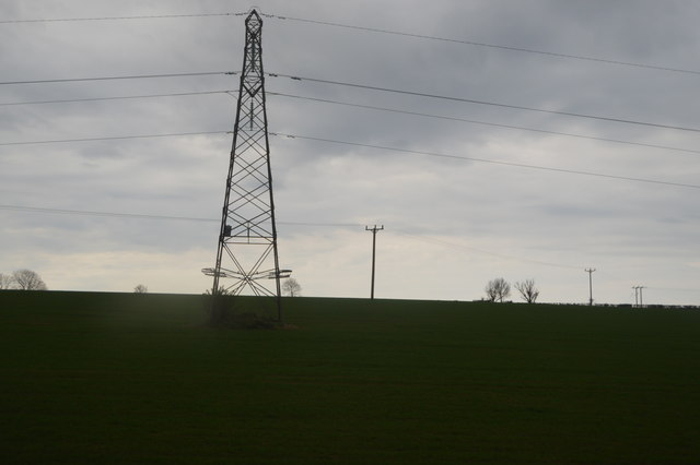
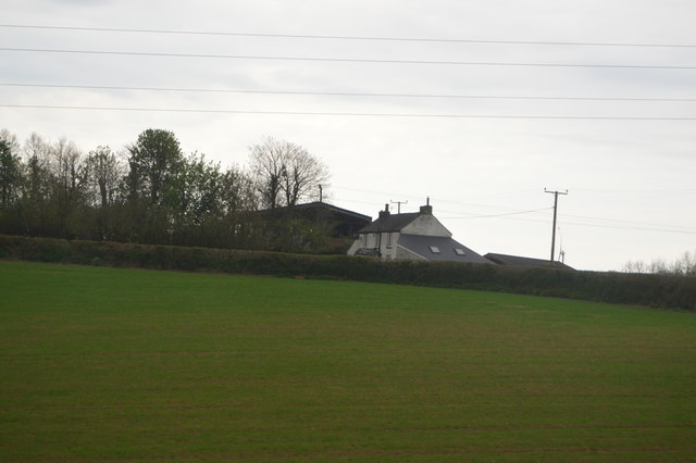
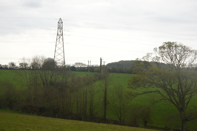
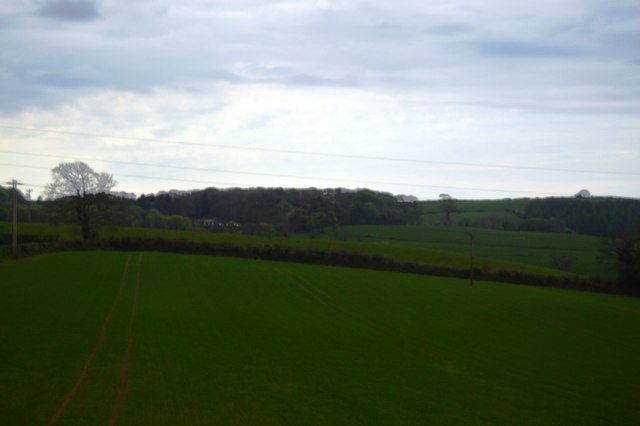
Bara Wood Images

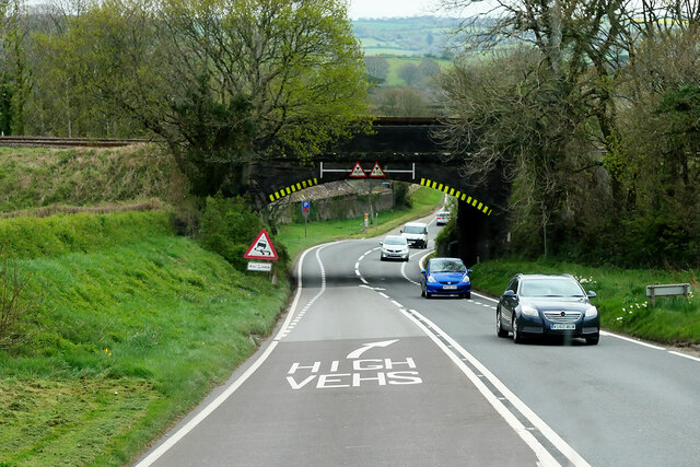
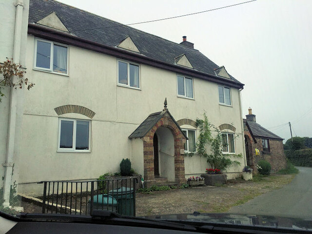
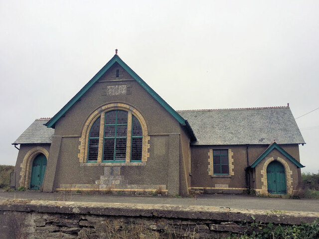
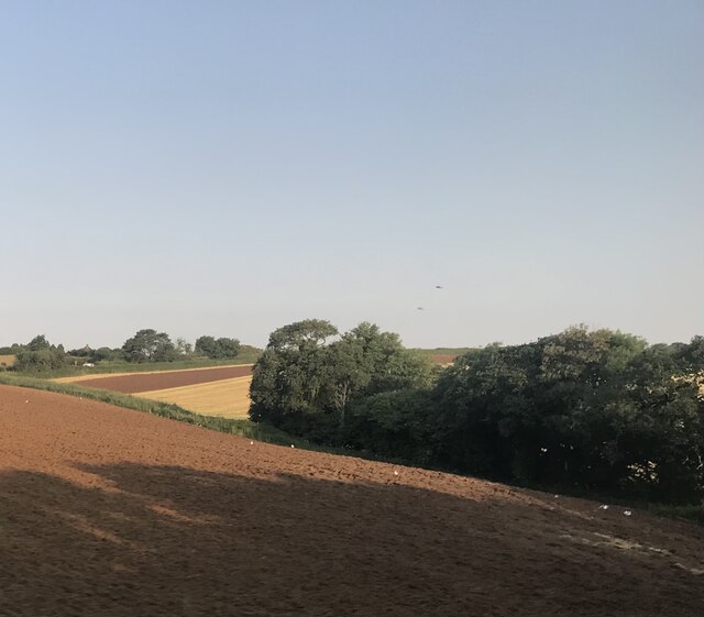
Images are sourced within 2km of 50.417997/-4.3609692 or Grid Reference SX3260. Thanks to Geograph Open Source API. All images are credited.

Railway Bridge over the A38 at Trerulefoot The A38 is a major A-class trunk route. When first designated in 1922, it ran from Derby to Plymouth but it was later extended at both ends so that it now runs for 292 miles from Mansfield in Nottinghamshire to Bodmin in Cornwall.

Prior to the opening of the M5 motorway in the 1960s and 1970s, the A38 formed the main "holiday route" from the Midlands to Somerset, Devon and Cornwall and the south-western section was notorious at holiday times for the congestion. Nowadays, for most of the southern section, the A38 is a fairly quiet road shadowing the M5 extremely closely; often running alongside the motorway as a single carriageway road. The section between Exeter and Plymouth is, however, a busy dual carriageway which serves as the southern extension of the M5 and is known as “the Devon Expressway”.

More information at <span class="nowrap"><a title="http://en.wikipedia.org/wiki/A38_road" rel="nofollow ugc noopener" href="http://en.wikipedia.org/wiki/A38_road">Link</a><img style="margin-left:2px;" alt="External link" title="External link - shift click to open in new window" src="https://s1.geograph.org.uk/img/external.png" width="10" height="10"/></span>  (Wikipedia) and <span class="nowrap"><a title="http://www.sabre-roads.org.uk/wiki/index.php?title=A38" rel="nofollow ugc noopener" href="http://www.sabre-roads.org.uk/wiki/index.php?title=A38">Link</a><img style="margin-left:2px;" alt="External link" title="External link - shift click to open in new window" src="https://s1.geograph.org.uk/img/external.png" width="10" height="10"/></span>  (SABRE).
Railway Bridge over the A38 at Trerulefoot
The A38 is a major A-class trunk route. When first designated in 1922, it ran from Derby to Plymouth but it was later extended at both ends so that it now runs for 292 miles from Mansfield in Nottinghamshire to Bodmin in Cornwall. Prior to the opening of the M5 motorway in the 1960s and 1970s, the A38 formed the main "holiday route" from the Midlands to Somerset, Devon and Cornwall and the south-western section was notorious at holiday times for the congestion. Nowadays, for most of the southern section, the A38 is a fairly quiet road shadowing the M5 extremely closely; often running alongside the motorway as a single carriageway road. The section between Exeter and Plymouth is, however, a busy dual carriageway which serves as the southern extension of the M5 and is known as “the Devon Expressway”. More information at LinkExternal link (Wikipedia) and LinkExternal link (SABRE).
Layby on the A374 at Trerulefoot The A374 is the former route of the A38 between Marsh Mills and Trerulefoot by way of Plymouth city centre and the Torpoint Ferry. It is 16 miles long
<span class="nowrap"><a title="http://www.sabre-roads.org.uk/wiki/index.php?title=A374" rel="nofollow ugc noopener" href="http://www.sabre-roads.org.uk/wiki/index.php?title=A374">Link</a><img style="margin-left:2px;" alt="External link" title="External link - shift click to open in new window" src="https://s1.geograph.org.uk/img/external.png" width="10" height="10"/></span>
Layby on the A374 at Trerulefoot
The A374 is the former route of the A38 between Marsh Mills and Trerulefoot by way of Plymouth city centre and the Torpoint Ferry. It is 16 miles long LinkExternal link
Trerulefoot, Windy Ridge Trerulefoot is a village in southeast Cornwall, located approximately halfway between the towns of Saltash and Liskeard. The village has a farm shop, two cafés and a petrol filling station.
Trerulefoot, Windy Ridge
Trerulefoot is a village in southeast Cornwall, located approximately halfway between the towns of Saltash and Liskeard. The village has a farm shop, two cafés and a petrol filling station.
Trerulefoot, A374 Trerulefoot is a village in southeast Cornwall, located approximately halfway between the towns of Saltash and Liskeard. The village has a farm shop, two cafés and a petrol filling station.
Trerulefoot, A374
Trerulefoot is a village in southeast Cornwall, located approximately halfway between the towns of Saltash and Liskeard. The village has a farm shop, two cafés and a petrol filling station.
Bethany Methodist chapel
Bethany Methodist Church
Fields to the north of Trerulefoot
Field near Bethany
Field near Bethany
Field near Furze Park
The A38 Deer oh deer.
The A38
Deer oh deer.
The A38 Where the traffic merges approaching Trerulefoot.
The A38
Where the traffic merges approaching Trerulefoot.
Bara Wood
Bara Wood
Field near Bethany
Field near Bethany
Pylon near Higher Clennick
Furze Park
Furze Park
Field near Trenethick
Field near Tresulgan
Show me another place!

Bara Wood is located at Grid Ref: SX3260 (Lat: 50.417997, Lng: -4.3609692)

Unitary Authority: Cornwall

Police Authority: Devon and Cornwall

What 3 Words

///spoiler.boxing.endlessly. Near Landrake, Cornwall

Related Wikis

Cutmere

Cutmere is a hamlet in the parish of St Germans, Cornwall, England. It is in the civil parish of Quethiock == References ==

Budge's Shop

Budge's Shop is a hamlet in Cornwall, England. It is half a mile northwest of Trerulefoot. According to the Post Office the 2011 census population was...

Padderbury Top

Padderbury Top is a hillfort about 2 miles (3.2 km) south-east of Menheniot, in Cornwall, England, named after the hill on which it is situated. It is...

Bake Fishing Lakes

Bake Fishing Lakes (grid reference SX318587); also known as Bake Lakes, Bake Farm Lakes or Bake Pools; is the name for a group of lakes at Bake Farm, near...

Nearby Amenities

Located within 500m of 50.417997,-4.3609692
Power: tower
Lat/Long: 50.4181984/-4.3551073
Power: tower
Lat/Long: 50.4182253/-4.359711
Power: tower
Lat/Long: 50.4182751/-4.3638752
Power: tower
Lat/Long: 50.4182896/-4.367398
Power: pole
Lat/Long: 50.4171185/-4.3543785
Power: pole
Lat/Long: 50.4177217/-4.3579129
Power: pole
Lat/Long: 50.4174277/-4.3561734
Power: pole
Lat/Long: 50.4180175/-4.3596625
Power: pole
Lat/Long: 50.4171459/-4.3582302
Power: pole
Lat/Long: 50.4198154/-4.3667757
Power: pole
Lat/Long: 50.4193847/-4.3651985
Power: pole
Lat/Long: 50.4185714/-4.3622462
Power: pole
Lat/Long: 50.417667/-4.3579491
Power: pole
Lat/Long: 50.4182645/-4.361076
Power: pole
Lat/Long: 50.4207569/-4.3639782
Power: pole
Lat/Long: 50.4201793/-4.3647292
Power: pole
Lat/Long: 50.4195692/-4.3654722
Power: pole
Lat/Long: 50.4187916/-4.3663842
Power: pole
Lat/Long: 50.4185404/-4.3666711
Power: pole
Lat/Long: 50.4177747/-4.3676287
Power: pole
Lat/Long: 50.4219528/-4.3624539
Power: pole
Lat/Long: 50.4141155/-4.3640828
Power: pole
Lat/Long: 50.4173714/-4.3612263
Power: pole
Lat/Long: 50.4169202/-4.3617627
Power: pole
Lat/Long: 50.4163476/-4.3624735
Power: pole
Lat/Long: 50.415881/-4.363085
Power: pole
Lat/Long: 50.414177/-4.3575543
Location Transition: yes
Power: pole
Lat/Long: 50.4221135/-4.3627154
Power: pole
Lat/Long: 50.4220326/-4.3625837
The data included in this document is from www.openstreetmap.org. The data is made available under ODbL.

Have you been to Bara Wood?

Leave your review of Bara Wood below (or comments, questions and feedback).