Molenick Wood

Wood, Forest in Cornwall

England

Molenick Wood

Railway Bridge over the A38 at Trerulefoot The A38 is a major A-class trunk route. When first designated in 1922, it ran from Derby to Plymouth but it was later extended at both ends so that it now runs for 292 miles from Mansfield in Nottinghamshire to Bodmin in Cornwall.

Prior to the opening of the M5 motorway in the 1960s and 1970s, the A38 formed the main "holiday route" from the Midlands to Somerset, Devon and Cornwall and the south-western section was notorious at holiday times for the congestion. Nowadays, for most of the southern section, the A38 is a fairly quiet road shadowing the M5 extremely closely; often running alongside the motorway as a single carriageway road. The section between Exeter and Plymouth is, however, a busy dual carriageway which serves as the southern extension of the M5 and is known as “the Devon Expressway”.

More information at <span class="nowrap"><a title="http://en.wikipedia.org/wiki/A38_road" rel="nofollow ugc noopener" href="http://en.wikipedia.org/wiki/A38_road">Link</a><img style="margin-left:2px;" alt="External link" title="External link - shift click to open in new window" src="https://s1.geograph.org.uk/img/external.png" width="10" height="10"/></span>  (Wikipedia) and <span class="nowrap"><a title="http://www.sabre-roads.org.uk/wiki/index.php?title=A38" rel="nofollow ugc noopener" href="http://www.sabre-roads.org.uk/wiki/index.php?title=A38">Link</a><img style="margin-left:2px;" alt="External link" title="External link - shift click to open in new window" src="https://s1.geograph.org.uk/img/external.png" width="10" height="10"/></span>  (SABRE).
Railway Bridge over the A38 at Trerulefoot Credit: David Dixon

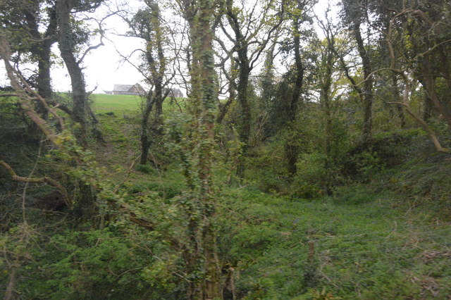
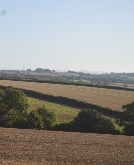
Molenick Wood is a picturesque woodland located in Cornwall, England. The wood covers an area of approximately 20 acres and is home to a variety of native tree species such as oak, beech, and ash. The woodland is crisscrossed by a network of walking trails that allow visitors to explore its natural beauty and tranquility.

Molenick Wood is known for its rich biodiversity, with a wide range of flora and fauna thriving within its boundaries. Birdwatchers may be able to spot species such as woodpeckers, thrushes, and owls, while nature enthusiasts can keep an eye out for butterflies, squirrels, and deer.

The wood is a popular destination for nature lovers and outdoor enthusiasts seeking a peaceful escape from the hustle and bustle of everyday life. Visitors can enjoy a leisurely stroll through the woodland, take in the sights and sounds of nature, and perhaps even have a picnic in one of the designated areas.

Overall, Molenick Wood offers a serene and immersive experience in the heart of the Cornish countryside, making it a must-visit destination for anyone looking to connect with nature.

If you have any feedback on the listing, please let us know in the comments section below.

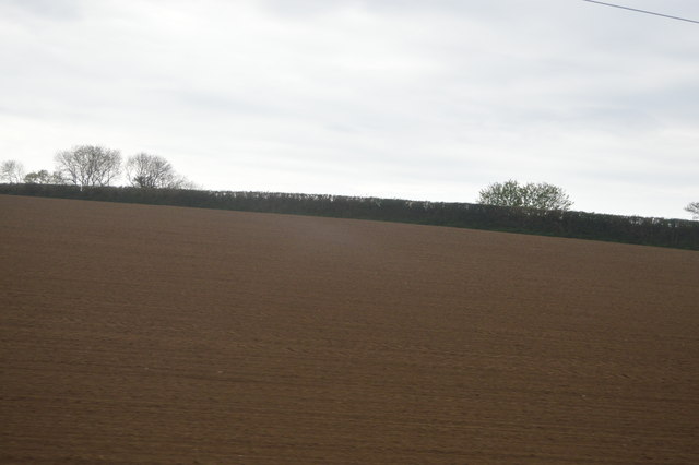
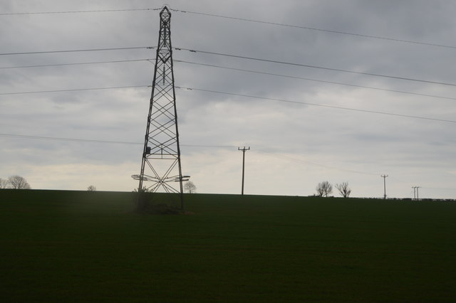
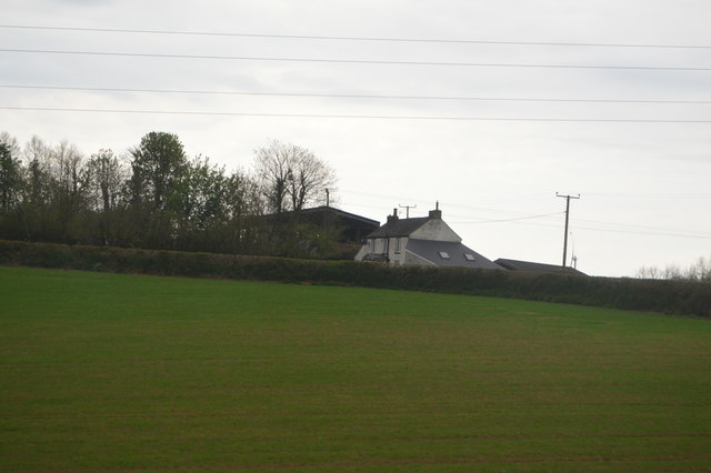
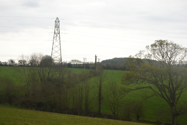
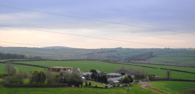
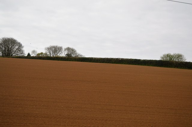
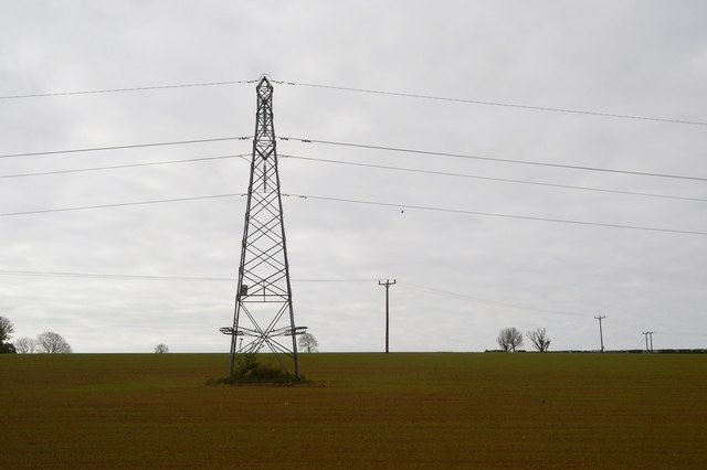
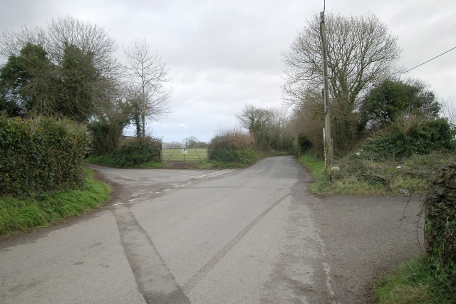
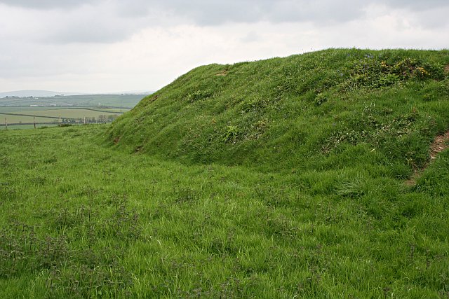
Molenick Wood Images

Images are sourced within 2km of 50.424096/-4.3525011 or Grid Reference SX3260. Thanks to Geograph Open Source API. All images are credited.

Railway Bridge over the A38 at Trerulefoot The A38 is a major A-class trunk route. When first designated in 1922, it ran from Derby to Plymouth but it was later extended at both ends so that it now runs for 292 miles from Mansfield in Nottinghamshire to Bodmin in Cornwall.

Prior to the opening of the M5 motorway in the 1960s and 1970s, the A38 formed the main "holiday route" from the Midlands to Somerset, Devon and Cornwall and the south-western section was notorious at holiday times for the congestion. Nowadays, for most of the southern section, the A38 is a fairly quiet road shadowing the M5 extremely closely; often running alongside the motorway as a single carriageway road. The section between Exeter and Plymouth is, however, a busy dual carriageway which serves as the southern extension of the M5 and is known as “the Devon Expressway”.

More information at <span class="nowrap"><a title="http://en.wikipedia.org/wiki/A38_road" rel="nofollow ugc noopener" href="http://en.wikipedia.org/wiki/A38_road">Link</a><img style="margin-left:2px;" alt="External link" title="External link - shift click to open in new window" src="https://s1.geograph.org.uk/img/external.png" width="10" height="10"/></span>  (Wikipedia) and <span class="nowrap"><a title="http://www.sabre-roads.org.uk/wiki/index.php?title=A38" rel="nofollow ugc noopener" href="http://www.sabre-roads.org.uk/wiki/index.php?title=A38">Link</a><img style="margin-left:2px;" alt="External link" title="External link - shift click to open in new window" src="https://s1.geograph.org.uk/img/external.png" width="10" height="10"/></span>  (SABRE).
Railway Bridge over the A38 at Trerulefoot
The A38 is a major A-class trunk route. When first designated in 1922, it ran from Derby to Plymouth but it was later extended at both ends so that it now runs for 292 miles from Mansfield in Nottinghamshire to Bodmin in Cornwall. Prior to the opening of the M5 motorway in the 1960s and 1970s, the A38 formed the main "holiday route" from the Midlands to Somerset, Devon and Cornwall and the south-western section was notorious at holiday times for the congestion. Nowadays, for most of the southern section, the A38 is a fairly quiet road shadowing the M5 extremely closely; often running alongside the motorway as a single carriageway road. The section between Exeter and Plymouth is, however, a busy dual carriageway which serves as the southern extension of the M5 and is known as “the Devon Expressway”. More information at LinkExternal link (Wikipedia) and LinkExternal link (SABRE).
A38 west of Tideford
Bethany Methodist chapel
Bethany Methodist Church
Fields to the north of Trerulefoot
Field near Bethany
Field near Bethany
Field near Furze Park
Bara Wood
Bara Wood
Field near Bethany
Field near Bethany
Pylon near Higher Clennick
Furze Park
Furze Park
Criffle Farm
Criffle Farm
Red soil
Red soil
Red soil
Red soil
Cornish farmland
Cornish farmland
Show me another place!

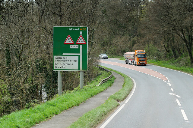
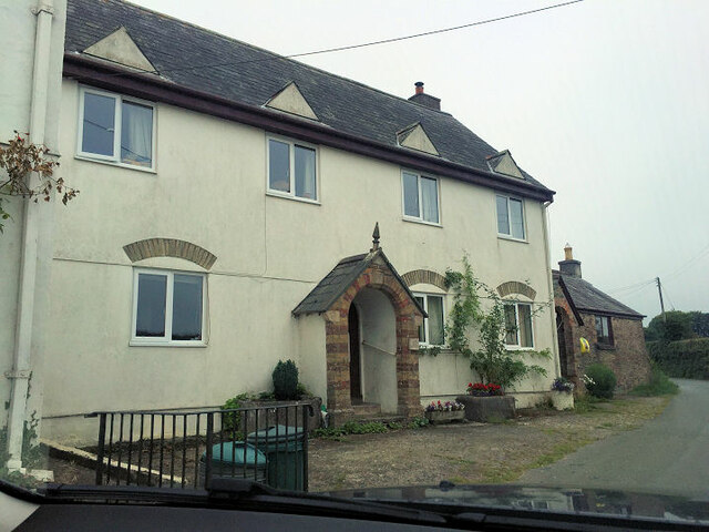
Molenick Wood is located at Grid Ref: SX3260 (Lat: 50.424096, Lng: -4.3525011)

Unitary Authority: Cornwall

Police Authority: Devon and Cornwall

What 3 Words

///vintages.craftsmen.dips. Near Landrake, Cornwall

Related Wikis

Cutmere

Cutmere is a hamlet in the parish of St Germans, Cornwall, England. It is in the civil parish of Quethiock == References ==

Tilland

Tilland is a hamlet in the parish of Quethiock, Cornwall, England, United Kingdom. == References ==

Tideford Cross

Tideford Cross is a hamlet in Cornwall, England, United Kingdom. It is about one mile north of Tideford. == References ==

Padderbury Top

Padderbury Top is a hillfort about 2 miles (3.2 km) south-east of Menheniot, in Cornwall, England, named after the hill on which it is situated. It is...

Nearby Amenities

Located within 500m of 50.424096,-4.3525011
Power: pole
Lat/Long: 50.4260869/-4.3571198
Power: pole
Lat/Long: 50.425388/-4.3580532
Power: pole
Lat/Long: 50.4247506/-4.3588793
Power: pole
Lat/Long: 50.4216336/-4.3488854
Power: pole
Lat/Long: 50.4222078/-4.3489391
Power: pole
Lat/Long: 50.4231785/-4.3471688
Power: pole
Lat/Long: 50.4240654/-4.3455809
The data included in this document is from www.openstreetmap.org. The data is made available under ODbL.

Have you been to Molenick Wood?

Leave your review of Molenick Wood below (or comments, questions and feedback).