Bradridge Wood

Wood, Forest in Cornwall

England

Bradridge Wood

Track, Luffincott Running through trees east of the farm.
Track, Luffincott Credit: Derek Harper

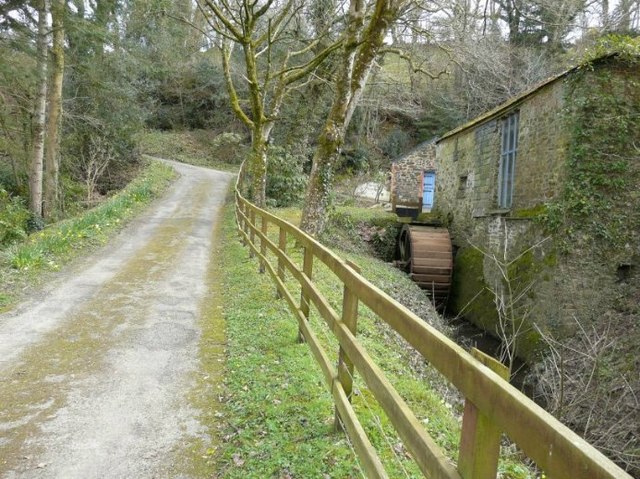
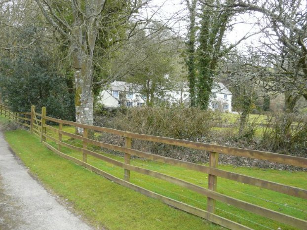
Bradridge Wood is a picturesque forest located in Cornwall, England. Situated near the village of Bradridge, the wood is a haven for nature enthusiasts and those seeking a tranquil escape from the hustle and bustle of everyday life.

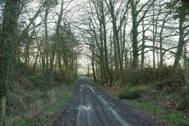
Covering an area of approximately 100 acres, Bradridge Wood is predominantly composed of native broadleaf trees, including oak, beech, and ash. The dense canopy created by these majestic trees provides shade, shelter, and a diverse habitat for a wide range of wildlife.

The forest floor is carpeted with an array of wildflowers, ferns, and mosses, creating a vibrant and colorful setting during the spring and summer months. Visitors can also admire the stunning display of autumnal hues as the leaves change color during the fall season.

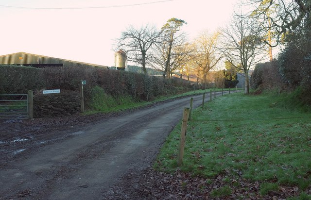
A network of well-maintained trails meander through Bradridge Wood, allowing visitors to explore its natural beauty at their own pace. These paths cater to all abilities, from leisurely strolls to more challenging hikes, making it an ideal destination for families, nature lovers, and outdoor enthusiasts.

The wood is home to a variety of bird species, including woodpeckers, owls, and songbirds, making it a paradise for birdwatching enthusiasts. Other inhabitants of Bradridge Wood include deer, foxes, and squirrels, adding to the charm and diversity of the ecosystem.

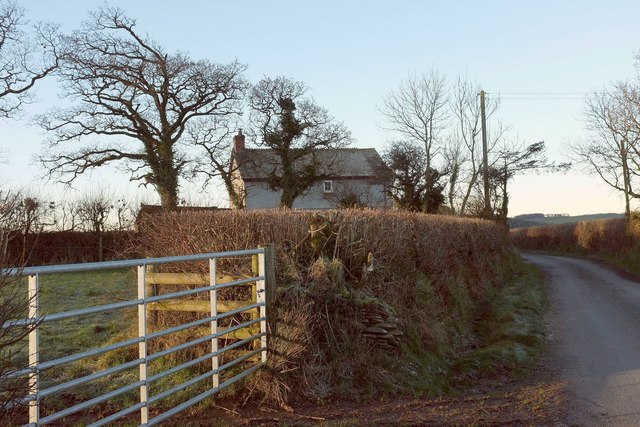
Bradridge Wood offers a peaceful and serene atmosphere, providing visitors with an opportunity to reconnect with nature and enjoy the beauty of Cornwall's countryside. Whether it is for a leisurely walk, wildlife spotting, or simply a moment of reflection, a visit to Bradridge Wood is a truly rewarding experience.

If you have any feedback on the listing, please let us know in the comments section below.

Bradridge Wood Images

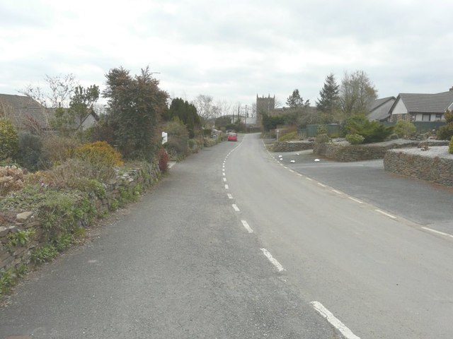
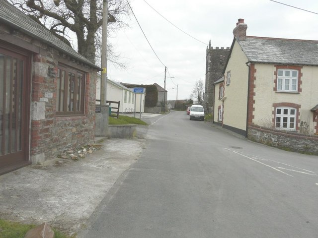
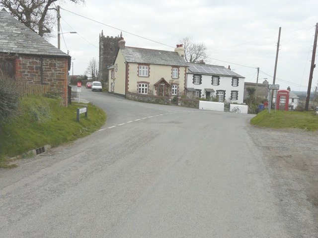
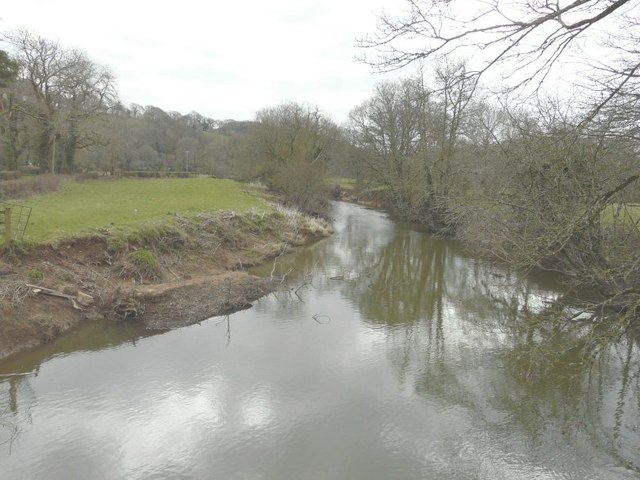
Images are sourced within 2km of 50.718368/-4.3714191 or Grid Reference SX3293. Thanks to Geograph Open Source API. All images are credited.

Track, Luffincott Running through trees east of the farm.
Track, Luffincott
Running through trees east of the farm.
End of the road at Luffincott Luffincott footpath 4 continues the line of the public road which ends her, before branching to the right before reaching the farm at Luffincott Barton, named as  Luffinvale on maps.
End of the road at Luffincott
Luffincott footpath 4 continues the line of the public road which ends her, before branching to the right before reaching the farm at Luffincott Barton, named as Luffinvale on maps.
Cottage, Luffincott On the no through lane to the church and farm at Luffincott.
Cottage, Luffincott
On the no through lane to the church and farm at Luffincott.
Holy Name church, Boyton, Cornwall
Looking along Underlane Towards the church tower of Holy Name.
Looking along Underlane
Towards the church tower of Holy Name.
Looking along Underlane With the church tower of Holy Name on the right.
Looking along Underlane
With the church tower of Holy Name on the right.
The road through Boyton With the name-plate for Underhill (the road to the left) on the grass verge and the church tower of Holy Name beyond.
The road through Boyton
With the name-plate for Underhill (the road to the left) on the grass verge and the church tower of Holy Name beyond.
The Tamar from Boytonbridge
Waterwheel, Boyton Mill Seen from the bridleway past the mill.
Waterwheel, Boyton Mill
Seen from the bridleway past the mill.
Boyton Mill Seen from the bridleway past the mill.
Boyton Mill
Seen from the bridleway past the mill.
St James' Church Luffincott is a remote hamlet just above the wooded valley of the River Tamar, which forms the border with Cornwall.  There is no village, just the church  - now cared for by the Churches Conservation Trust <span class="nowrap"><a title="https://www.visitchurches.org.uk/visit/church-listing/st-james-luffincott.html" rel="nofollow ugc noopener" href="https://www.visitchurches.org.uk/visit/church-listing/st-james-luffincott.html">Link</a><img style="margin-left:2px;" alt="External link" title="External link - shift click to open in new window" src="https://s1.geograph.org.uk/img/external.png" width="10" height="10"/></span> - and a farm.

The Revd Sabine Baring-Gould, in his Little Guide of 1907, reported that "The rectory has been the scene of mysterious hauntings of late years, and has been abandoned to ruin."
St James' Church
Luffincott is a remote hamlet just above the wooded valley of the River Tamar, which forms the border with Cornwall. There is no village, just the church - now cared for by the Churches Conservation Trust LinkExternal link - and a farm. The Revd Sabine Baring-Gould, in his Little Guide of 1907, reported that "The rectory has been the scene of mysterious hauntings of late years, and has been abandoned to ruin."
Boyton Bridge This not too impressive bridge was built in April 2006 to replace a similarly uninspring metal bridge.
Boyton Bridge
This not too impressive bridge was built in April 2006 to replace a similarly uninspring metal bridge.
Nissen hut above Boyton Bridge This hut is the remains of what I believe was an Italian PoW camp from WW2
Nissen hut above Boyton Bridge
This hut is the remains of what I believe was an Italian PoW camp from WW2
Canal basin The depression shown in the picture was a basin on the Launceston branch of the Bude Canal, which was constructed in the 1820s and ceased to operate in about 1891.  More excellent info on this is available at <span class="nowrap"><a title="http://www.bude-canal.co.uk/" rel="nofollow ugc noopener" href="http://www.bude-canal.co.uk/">Link</a><img style="margin-left:2px;" alt="External link" title="External link - shift click to open in new window" src="https://s1.geograph.org.uk/img/external.png" width="10" height="10"/></span>
Canal basin
The depression shown in the picture was a basin on the Launceston branch of the Bude Canal, which was constructed in the 1820s and ceased to operate in about 1891. More excellent info on this is available at LinkExternal link
Valley near West Peeke The square is dominated by this deep valley carrying a small tributary of the Tamar westwards (to the right). The lane is a no through road from the farm at West Peeke, which turns sharply up the valley at this point, crossing it at the eastern edge of the square (<a href="https://www.geograph.org.uk/photo/609362">SX3493 : Lane across the valley</a>).
Valley near West Peeke
The square is dominated by this deep valley carrying a small tributary of the Tamar westwards (to the right). The lane is a no through road from the farm at West Peeke, which turns sharply up the valley at this point, crossing it at the eastern edge of the square (SX3493 : Lane across the valley).
The Tamar valley “View? What view?” Jersey cattle near the farm at West Peeke. Behind them, the river runs (to the left) along the edge of Bradridge Wood which climbs the western slopes. The side valley is in SX3293, with Cot Wood rising beyond it into SX3294.
The Tamar valley
“View? What view?” Jersey cattle near the farm at West Peeke. Behind them, the river runs (to the left) along the edge of Bradridge Wood which climbs the western slopes. The side valley is in SX3293, with Cot Wood rising beyond it into SX3294.
Boyton Mill Some of the buildings next to the early C19 mill, on a leat at the side of the Tamar valley. Seen from Northcott Bridleway 1 as it descends from the hamlet at Northcott.
Boyton Mill
Some of the buildings next to the early C19 mill, on a leat at the side of the Tamar valley. Seen from Northcott Bridleway 1 as it descends from the hamlet at Northcott.
Boyton - the northern hamlet This part of Boyton lies some 400 metres away from the main part of the village around the church. On the left is Town Farm. Most of the buildings behind the white-gabled Boyton Villas are parts of the County Primary School. Taken from Underlane.
Boyton - the northern hamlet
This part of Boyton lies some 400 metres away from the main part of the village around the church. On the left is Town Farm. Most of the buildings behind the white-gabled Boyton Villas are parts of the County Primary School. Taken from Underlane.
Show me another place!

Bradridge Wood is located at Grid Ref: SX3293 (Lat: 50.718368, Lng: -4.3714191)

Unitary Authority: Cornwall

Police Authority: Devon and Cornwall

What 3 Words

///widest.donor.unopposed. Near Boyton, Cornwall

Related Wikis

Luffincott

Luffincott is a civil parish in the far west of Devon, England. It forms part of the local government district of Torridge and lies about six miles south...

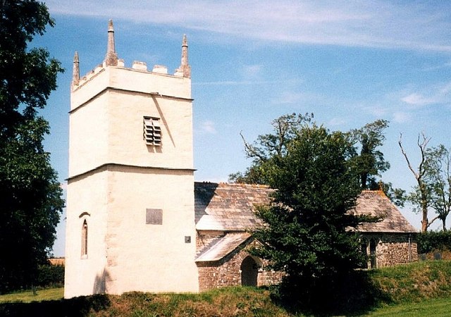
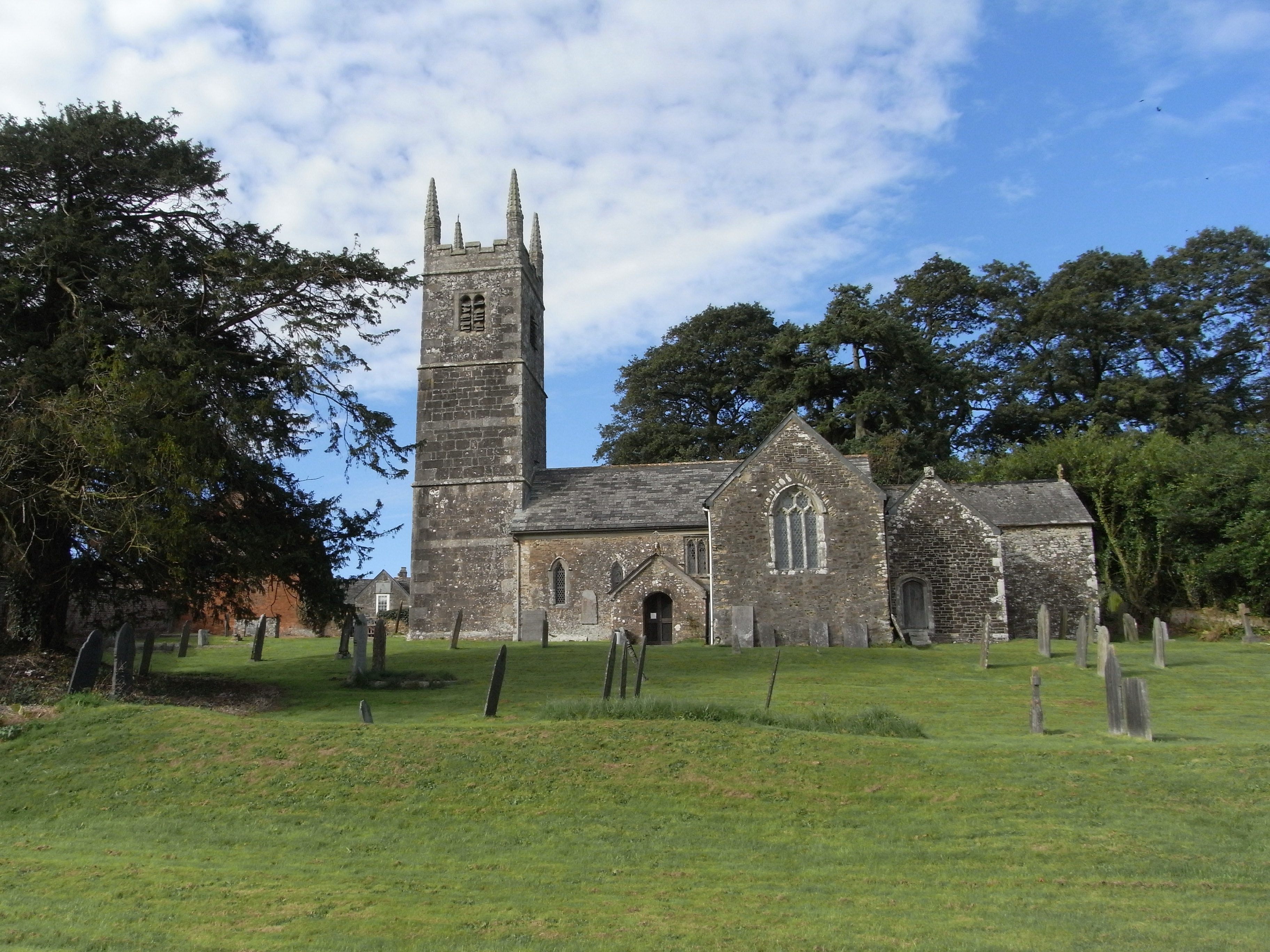
St James's Church, Luffincott

St James's Church in Luffincott, Devon, England was built in the 15th century. It is recorded in the National Heritage List for England as a designated...

Tetcott

Tetcott is a civil parish, small settlement and former manor (once the home of the Arscotts of Tetcott) in Devon, England. The parish lies about five miles...

Northcott, Devon

Northcott is a small settlement and civil parish in the far west of Devon, England. It lies about seven miles south of the town of Holsworthy and forms...

Have you been to Bradridge Wood?

Leave your review of Bradridge Wood below (or comments, questions and feedback).