Blackley Wood

Wood, Forest in Cornwall

England

Blackley Wood

Car dealer, St Ive, on A390
Car dealer, St Ive, on A390 Credit: David Smith

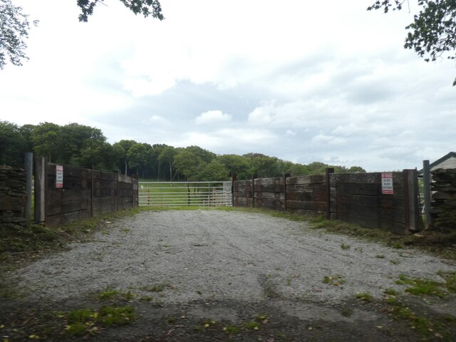
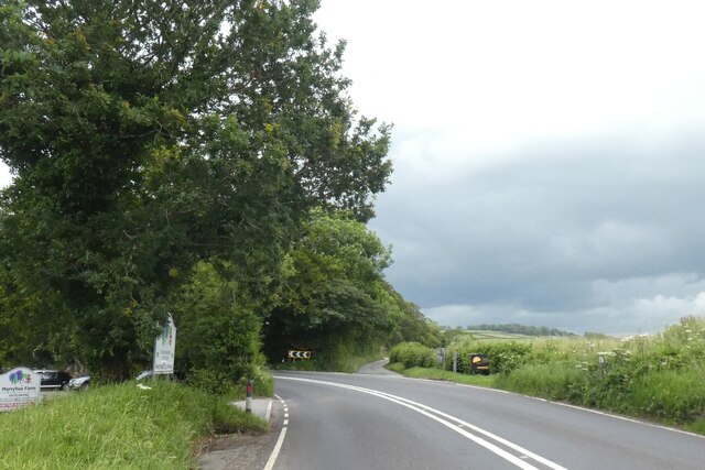
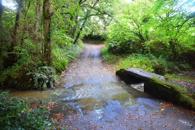
Blackley Wood is a picturesque woodland located in Cornwall, a county in southwestern England. Situated near the village of Blackley, this wood is renowned for its natural beauty and diverse flora and fauna. Covering an area of approximately 100 acres, Blackley Wood offers visitors a tranquil escape from the hustle and bustle of modern life.

The wood is characterized by its dense canopy of ancient trees, primarily consisting of oak, beech, and ash. These towering giants provide a habitat for a wide variety of wildlife, including birds, mammals, and insects. Walking through the wood, visitors may be lucky enough to spot species such as woodpeckers, deer, foxes, and butterflies.

Trails wind their way through the wood, allowing visitors to explore its hidden gems. The paths vary in difficulty, catering to both casual strollers and more adventurous hikers. Along the way, there are several picnic spots and benches, providing opportunities to rest and take in the stunning surroundings.

In addition to its natural beauty, Blackley Wood also holds historical significance. The wood is said to have been an important source of timber for shipbuilding during the 18th and 19th centuries. Remnants of this industrial past can still be seen within the wood, adding a layer of cultural heritage to its already rich landscape.

Overall, Blackley Wood offers a serene and enchanting experience for nature lovers and those seeking a peaceful retreat in the heart of Cornwall. Its combination of ancient trees, diverse wildlife, and historical significance make it a must-visit destination for individuals of all ages and interests.

If you have any feedback on the listing, please let us know in the comments section below.

Blackley Wood Images

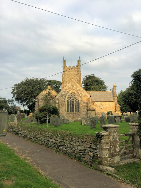
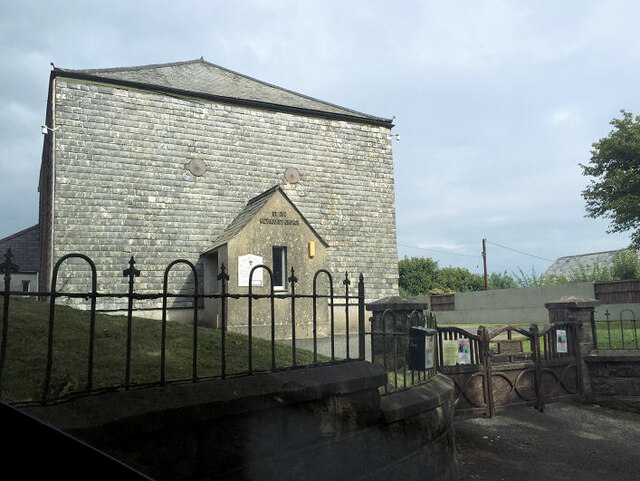
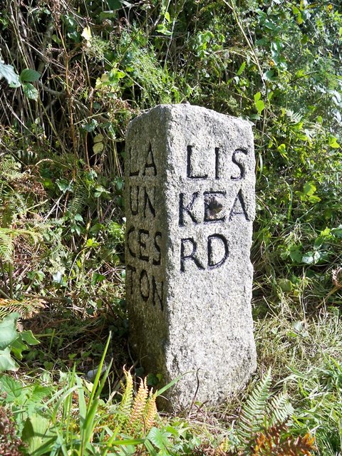
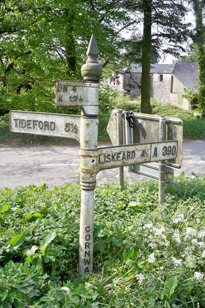
Images are sourced within 2km of 50.475887/-4.3596108 or Grid Reference SX3266. Thanks to Geograph Open Source API. All images are credited.

Car dealer, St Ive, on A390
Bus shelter on A390 at Keason Cottages
A390 east of St Ive
A390 east of St Ive
A390 east of Merryhue
Farm entrance near Merryhue
Road junction at Merryhue The right fork off the A390 leads to Cadson and the hillfort there
Road junction at Merryhue
The right fork off the A390 leads to Cadson and the hillfort there
St Ive Church Also known as St Ivo's Church.
St Ive Church
Also known as St Ivo's Church.
St Ive Methodist Church
Crift Ford This ford is found at Lower Crift.
Crift Ford
This ford is found at Lower Crift.
Old Milestone by the A390 Carved stone post by the A390, in parish of ST IVE (CARADON District), 500m North West of Cadson, on steep bend, leaning against bank, on South side of road. Callington CL tombstone, erected by the Callington turnpike trust in the 19th century. 

Inscription reads:-
C 2½
L 6  

Grade II Listed. List Entry Number: 1140823
<span class="nowrap"><a title="https://historicengland.org.uk/listing/the-list/list-entry/1140823" rel="nofollow ugc noopener" href="https://historicengland.org.uk/listing/the-list/list-entry/1140823">Link</a><img style="margin-left:2px;" alt="External link" title="External link - shift click to open in new window" src="https://s1.geograph.org.uk/img/external.png" width="10" height="10"/></span>

Milestone Society National ID: CW_CLLK02.
Old Milestone by the A390
Carved stone post by the A390, in parish of ST IVE (CARADON District), 500m North West of Cadson, on steep bend, leaning against bank, on South side of road. Callington CL tombstone, erected by the Callington turnpike trust in the 19th century. Inscription reads:- C 2½ L 6 Grade II Listed. List Entry Number: 1140823 LinkExternal link Milestone Society National ID: CW_CLLK02.
Old Milestone by the A390 in Higher Keason Carved stone post by the A390, in parish of ST IVE (CARADON District), Higher Keason, Keason turn, against hedge (was in it). Broken - top half was loose, now restored, on North side of road. Callington CL tombstone, erected by the Callington turnpike trust in the 19th century. 

Inscription reads:-
C 3½
L 5   

Grade II Listed. List Entry Number: 1140829
<span class="nowrap"><a title="https://historicengland.org.uk/listing/the-list/list-entry/1140829" rel="nofollow ugc noopener" href="https://historicengland.org.uk/listing/the-list/list-entry/1140829">Link</a><img style="margin-left:2px;" alt="External link" title="External link - shift click to open in new window" src="https://s1.geograph.org.uk/img/external.png" width="10" height="10"/></span>

Milestone Society National ID: CW_CLLK03.
Old Milestone by the A390 in Higher Keason
Carved stone post by the A390, in parish of ST IVE (CARADON District), Higher Keason, Keason turn, against hedge (was in it). Broken - top half was loose, now restored, on North side of road. Callington CL tombstone, erected by the Callington turnpike trust in the 19th century. Inscription reads:- C 3½ L 5 Grade II Listed. List Entry Number: 1140829 LinkExternal link Milestone Society National ID: CW_CLLK03.
Old Milestone by the A390, west of St Ive Carved stone post by the A390, in parish of ST IVE (CARADON District), West of St Ive Church End, opposite lay by, buried in undergrowth (2001), on South side of road. Callington CL tombstone, erected by the Callington turnpike trust in the 19th century. 

Inscription reads:-
C 4½
L 4{reversed 'C'}   

Grade II Listed. List Entry Number: 1329052
<span class="nowrap"><a title="https://historicengland.org.uk/listing/the-list/list-entry/1329052" rel="nofollow ugc noopener" href="https://historicengland.org.uk/listing/the-list/list-entry/1329052">Link</a><img style="margin-left:2px;" alt="External link" title="External link - shift click to open in new window" src="https://s1.geograph.org.uk/img/external.png" width="10" height="10"/></span>

Milestone Society National ID: CW_CLLK04.
Old Milestone by the A390, west of St Ive
Carved stone post by the A390, in parish of ST IVE (CARADON District), West of St Ive Church End, opposite lay by, buried in undergrowth (2001), on South side of road. Callington CL tombstone, erected by the Callington turnpike trust in the 19th century. Inscription reads:- C 4½ L 4{reversed 'C'} Grade II Listed. List Entry Number: 1329052 LinkExternal link Milestone Society National ID: CW_CLLK04.
Old Guide Stone by the A390 at Higher Keason, St Ive Parish By the A390, in parish of St Ive (Caradon District), Higher Keason, turning at Higher Keason, set back from road by bank.

Inscription reads:-
: LA / UN / CES / TON : : LIS / KEA / RD : : CAL / LIN / GT / ON :

Grade II listed. List Entry Number: 1140829
<span class="nowrap"><a title="https://historicengland.org.uk/listing/the-list/list-entry/1140829" rel="nofollow ugc noopener" href="https://historicengland.org.uk/listing/the-list/list-entry/1140829">Link</a><img style="margin-left:2px;" alt="External link" title="External link - shift click to open in new window" src="https://s1.geograph.org.uk/img/external.png" width="10" height="10"/></span>

Surveyed

Milestone Society National ID: CW_XSTI3
Old Guide Stone by the A390 at Higher Keason, St Ive Parish
By the A390, in parish of St Ive (Caradon District), Higher Keason, turning at Higher Keason, set back from road by bank. Inscription reads:- : LA / UN / CES / TON : : LIS / KEA / RD : : CAL / LIN / GT / ON : Grade II listed. List Entry Number: 1140829 LinkExternal link Surveyed Milestone Society National ID: CW_XSTI3
Old Direction Sign - Signpost by the A390, near St Ive Cross Raised finial - 'G' type; by the A390, in parish of St Ive (Caradon District), at turn South to St Ive Cross, at apex of Y-junction.

Cornwall and Scilly HER.
HER Number: MCO56959 <span class="nowrap"><a title="https://www.heritagegateway.org.uk/Gateway/Results_Single.aspx?uid=MCO56959&resourceID=1020" rel="nofollow ugc noopener" href="https://www.heritagegateway.org.uk/Gateway/Results_Single.aspx?uid=MCO56959&resourceID=1020">Link</a><img style="margin-left:2px;" alt="External link" title="External link - shift click to open in new window" src="https://s1.geograph.org.uk/img/external.png" width="10" height="10"/></span>

To be surveyed

Milestone Society National ID: CW_SX3167
Old Direction Sign - Signpost by the A390, near St Ive Cross
Raised finial - 'G' type; by the A390, in parish of St Ive (Caradon District), at turn South to St Ive Cross, at apex of Y-junction. Cornwall and Scilly HER. HER Number: MCO56959 LinkExternal link To be surveyed Milestone Society National ID: CW_SX3167
Old Boundary Marker north of Cadson, west of Newbridge Turnpike Horse Marker - 'Take Off' stone, by the UC road (was A390), in parish of St Ive (Caradon District), by entrance to Cadson Manor Farm, leaning against Cornish hedge, South side of road.

Inscription reads:-
TAKE
OFF

Grade II listed.
List Entry Number: 1140826 <span class="nowrap"><a title="https://historicengland.org.uk/listing/the-list/list-entry/1140826" rel="nofollow ugc noopener" href="https://historicengland.org.uk/listing/the-list/list-entry/1140826">Link</a><img style="margin-left:2px;" alt="External link" title="External link - shift click to open in new window" src="https://s1.geograph.org.uk/img/external.png" width="10" height="10"/></span>

Surveyed

Milestone Society National ID: CW_CLLKhs
Old Boundary Marker north of Cadson, west of Newbridge
Turnpike Horse Marker - 'Take Off' stone, by the UC road (was A390), in parish of St Ive (Caradon District), by entrance to Cadson Manor Farm, leaning against Cornish hedge, South side of road. Inscription reads:- TAKE OFF Grade II listed. List Entry Number: 1140826 LinkExternal link Surveyed Milestone Society National ID: CW_CLLKhs
Old Boundary Marker Turnpike Horse Marker directly on the western end of the bridge parapet on the south side of an unclassified road (which was formerly the A390) east of Coombegate Cottage. ST IVE parish. Inscribed Put on. Put on coaches travelling from St Ive towards Callington were allowed to take a trace horse at Coombegate to assist them on their way to Callington. At the brow of the hill directly to the north of Cadson, the Take-off stone instructed the coachman to unhitch the trace horse and send it back. Grade II Listed <span class="nowrap"><a title="https://historicengland.org.uk/listing/the-list/list-entry/1140825" rel="nofollow ugc noopener" href="https://historicengland.org.uk/listing/the-list/list-entry/1140825">Link</a><img style="margin-left:2px;" alt="External link" title="External link - shift click to open in new window" src="https://s1.geograph.org.uk/img/external.png" width="10" height="10"/></span>.

Milestone Society National ID: CW_CLLK02hs
Old Boundary Marker
Turnpike Horse Marker directly on the western end of the bridge parapet on the south side of an unclassified road (which was formerly the A390) east of Coombegate Cottage. ST IVE parish. Inscribed Put on. Put on coaches travelling from St Ive towards Callington were allowed to take a trace horse at Coombegate to assist them on their way to Callington. At the brow of the hill directly to the north of Cadson, the Take-off stone instructed the coachman to unhitch the trace horse and send it back. Grade II Listed LinkExternal link. Milestone Society National ID: CW_CLLK02hs
Old Milestone by the A390, west of St Ive Carved stone post by the A390, in parish of ST IVE (CARADON District), West of St Ive Church End, opposite lay-by, buried in undergrowth (2001), on South side of road. Callington 'CL' tombstone, erected by the Callington turnpike trust in the 19th century. 

Inscription reads:-
C 4½
L 4 

Grade II listed. 
List Entry Number: 1329052 <span class="nowrap"><a title="https://historicengland.org.uk/listing/the-list/list-entry/1329052" rel="nofollow ugc noopener" href="https://historicengland.org.uk/listing/the-list/list-entry/1329052">Link</a><img style="margin-left:2px;" alt="External link" title="External link - shift click to open in new window" src="https://s1.geograph.org.uk/img/external.png" width="10" height="10"/></span>

Milestone Society National ID: CW_CLLK04.
Old Milestone by the A390, west of St Ive
Carved stone post by the A390, in parish of ST IVE (CARADON District), West of St Ive Church End, opposite lay-by, buried in undergrowth (2001), on South side of road. Callington 'CL' tombstone, erected by the Callington turnpike trust in the 19th century. Inscription reads:- C 4½ L 4 Grade II listed. List Entry Number: 1329052 LinkExternal link Milestone Society National ID: CW_CLLK04.
Old Milestone by the A390 in Higher Keason Carved stone post by the A390, in parish of ST IVE (CARADON District), Higher Keason, Keason turn, against hedge (was in it) Broken - top half was loose, now restored, on North side of road. Callington 'CL' tombstone, erected by the Callington turnpike trust in the 19th century. 

Inscription reads:-
C 3½
L 5 

Grade II listed. 
List Entry Number: 1140829 <span class="nowrap"><a title="https://historicengland.org.uk/listing/the-list/list-entry/1140829" rel="nofollow ugc noopener" href="https://historicengland.org.uk/listing/the-list/list-entry/1140829">Link</a><img style="margin-left:2px;" alt="External link" title="External link - shift click to open in new window" src="https://s1.geograph.org.uk/img/external.png" width="10" height="10"/></span>

Milestone Society National ID: CW_CLLK03.
Old Milestone by the A390 in Higher Keason
Carved stone post by the A390, in parish of ST IVE (CARADON District), Higher Keason, Keason turn, against hedge (was in it) Broken - top half was loose, now restored, on North side of road. Callington 'CL' tombstone, erected by the Callington turnpike trust in the 19th century. Inscription reads:- C 3½ L 5 Grade II listed. List Entry Number: 1140829 LinkExternal link Milestone Society National ID: CW_CLLK03.
Show me another place!

Blackley Wood is located at Grid Ref: SX3266 (Lat: 50.475887, Lng: -4.3596108)

Unitary Authority: Cornwall

Police Authority: Devon and Cornwall

What 3 Words

///financial.blackmail.sneezed. Near Callington, Cornwall
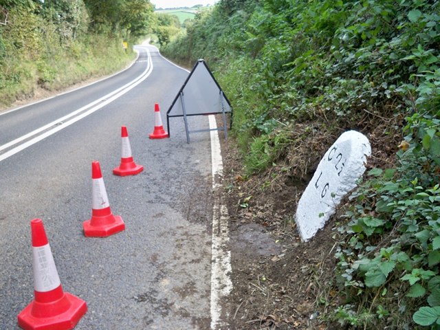
Nearby Locations

Blackley Wood

Related Wikis

Parkfield, Cornwall

Parkfield is a hamlet in the parish of St Ive and Pensilva, Cornwall, England. == References ==

St Ive

St Ive ( EEV; Cornish: Sen Iv) is a village in the civil parish of St Ive and Pensilva in eastern Cornwall, England, United Kingdom. The village is split...

St Ive and Pensilva

St Ive and Pensilva, formerly St Ive is a civil parish in Cornwall, England, United Kingdom. The parish has 4,246 residents and an area of 6,894 acres...

Cadson Bury

Cadson Bury is an Iron Age hillfort about 2 miles (3.2 km) south-west of Callington, in Cornwall, England. It is owned by the National Trust, and it is...

Nearby Amenities

Located within 500m of 50.475887,-4.3596108
The data included in this document is from www.openstreetmap.org. The data is made available under ODbL.

Have you been to Blackley Wood?

Leave your review of Blackley Wood below (or comments, questions and feedback).