Appledore Brake

Wood, Forest in Cornwall

England

Appledore Brake

Bus shelter on A390 at Keason Cottages
Bus shelter on A390 at Keason Cottages Credit: David Smith

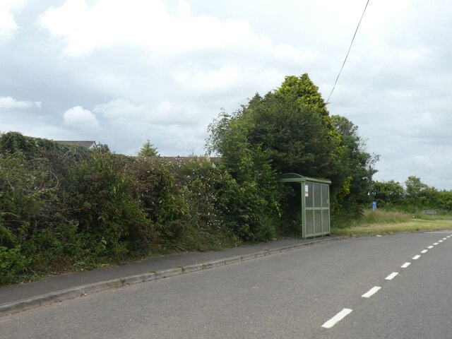
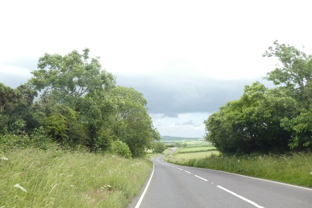
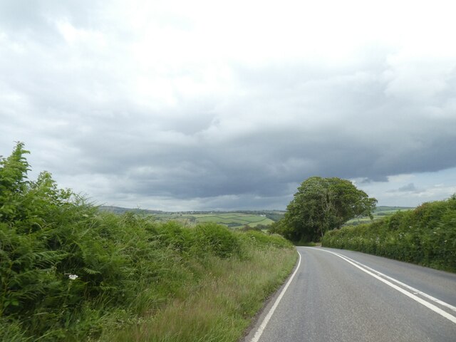
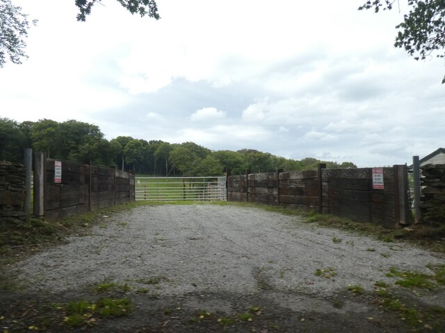
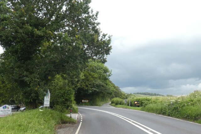
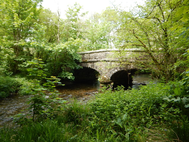
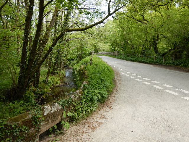
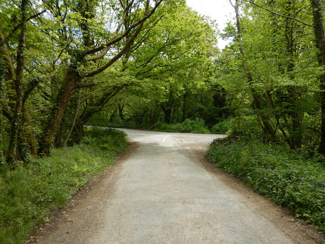
Appledore Brake is a picturesque wood located in the county of Cornwall, England. Covering an area of approximately 10 hectares, this forest is nestled in the charming village of Appledore. It is a haven for nature enthusiasts and offers a tranquil escape from the hustle and bustle of city life.

The forest is primarily composed of deciduous trees, such as oak, beech, and birch, which create a beautiful canopy overhead. These trees provide a home to a diverse range of wildlife, including squirrels, badgers, and various species of birds.

Visitors to Appledore Brake can explore the forest through a network of well-marked trails, which wind their way through the dense foliage. These pathways offer breathtaking views of the woodland, with sunlight filtering through the leaves and casting enchanting shadows on the forest floor.

In addition to its natural beauty, Appledore Brake has historical significance. The forest is believed to have been used as a hunting ground during medieval times and remnants of ancient pathways can still be found within the wood. These historical features add a touch of intrigue and wonder to the overall experience.

Appledore Brake is also popular among photographers and artists, who are drawn to its serene beauty and unique atmosphere. Whether it is capturing the vibrant colors of autumn or the delicate blooms of spring, there is always something captivating to photograph or paint in this woodland paradise.

Overall, Appledore Brake is a hidden gem in Cornwall, offering a peaceful retreat for those seeking solace in nature. Its rich biodiversity and captivating scenery make it a must-visit destination for both locals and tourists alike.

If you have any feedback on the listing, please let us know in the comments section below.

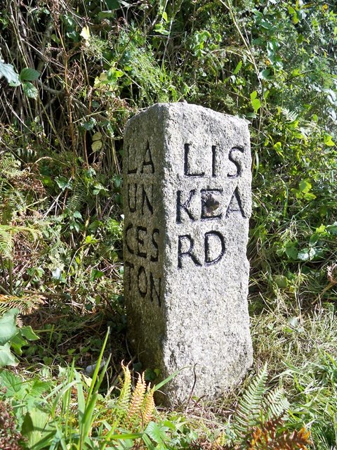
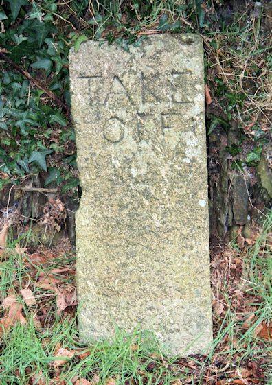
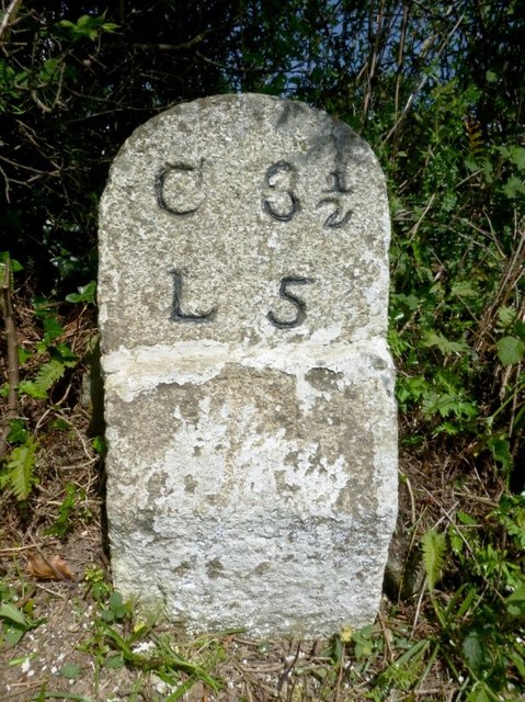
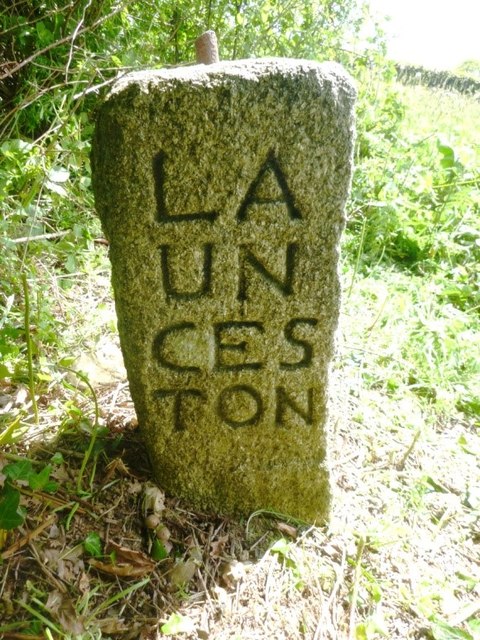
Appledore Brake Images

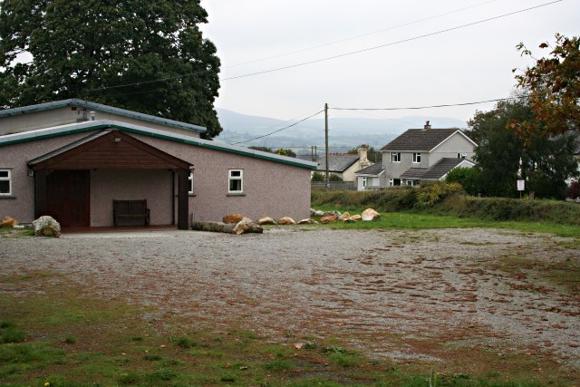
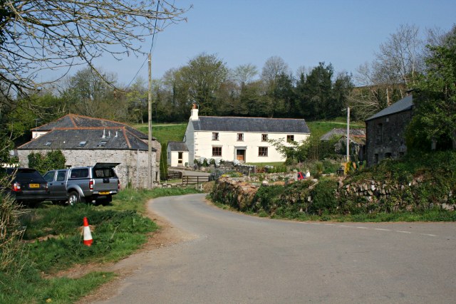
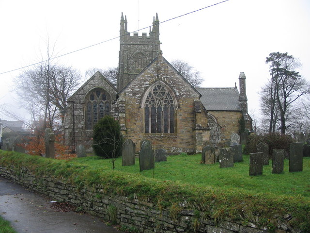
Images are sourced within 2km of 50.500113/-4.3611991 or Grid Reference SX3269. Thanks to Geograph Open Source API. All images are credited.

Bus shelter on A390 at Keason Cottages
A390 east of St Ive
A390 east of St Ive
A390 east of Merryhue
Farm entrance near Merryhue
Road junction at Merryhue The right fork off the A390 leads to Cadson and the hillfort there
Road junction at Merryhue
The right fork off the A390 leads to Cadson and the hillfort there
Batts Chapel A former Bethel Wesleyan Methodist Chapel.
Batts Chapel
A former Bethel Wesleyan Methodist Chapel.
Former chapel
Former chapel
Burnt Wood Ford This ford is found at the foot of the track leading down through Burnt Wood.
Burnt Wood Ford
This ford is found at the foot of the track leading down through Burnt Wood.
Kerney Bridge on the River Lynher
Junction at Kerney Bridge near Berrio Mill
Rural Road Junction near Berrio Mill
Old Milestone by the A390 Carved stone post by the A390, in parish of ST IVE (CARADON District), 500m North West of Cadson, on steep bend, leaning against bank, on South side of road. Callington CL tombstone, erected by the Callington turnpike trust in the 19th century. 

Inscription reads:-
C 2½
L 6  

Grade II Listed. List Entry Number: 1140823
<span class="nowrap"><a title="https://historicengland.org.uk/listing/the-list/list-entry/1140823" rel="nofollow ugc noopener" href="https://historicengland.org.uk/listing/the-list/list-entry/1140823">Link</a><img style="margin-left:2px;" alt="External link" title="External link - shift click to open in new window" src="https://s1.geograph.org.uk/img/external.png" width="10" height="10"/></span>

Milestone Society National ID: CW_CLLK02.
Old Milestone by the A390
Carved stone post by the A390, in parish of ST IVE (CARADON District), 500m North West of Cadson, on steep bend, leaning against bank, on South side of road. Callington CL tombstone, erected by the Callington turnpike trust in the 19th century. Inscription reads:- C 2½ L 6 Grade II Listed. List Entry Number: 1140823 LinkExternal link Milestone Society National ID: CW_CLLK02.
Old Milestone by the A390 in Higher Keason Carved stone post by the A390, in parish of ST IVE (CARADON District), Higher Keason, Keason turn, against hedge (was in it). Broken - top half was loose, now restored, on North side of road. Callington CL tombstone, erected by the Callington turnpike trust in the 19th century. 

Inscription reads:-
C 3½
L 5   

Grade II Listed. List Entry Number: 1140829
<span class="nowrap"><a title="https://historicengland.org.uk/listing/the-list/list-entry/1140829" rel="nofollow ugc noopener" href="https://historicengland.org.uk/listing/the-list/list-entry/1140829">Link</a><img style="margin-left:2px;" alt="External link" title="External link - shift click to open in new window" src="https://s1.geograph.org.uk/img/external.png" width="10" height="10"/></span>

Milestone Society National ID: CW_CLLK03.
Old Milestone by the A390 in Higher Keason
Carved stone post by the A390, in parish of ST IVE (CARADON District), Higher Keason, Keason turn, against hedge (was in it). Broken - top half was loose, now restored, on North side of road. Callington CL tombstone, erected by the Callington turnpike trust in the 19th century. Inscription reads:- C 3½ L 5 Grade II Listed. List Entry Number: 1140829 LinkExternal link Milestone Society National ID: CW_CLLK03.
Old Guide Stone by the A390 at Higher Keason, St Ive Parish By the A390, in parish of St Ive (Caradon District), Higher Keason, turning at Higher Keason, set back from road by bank.

Inscription reads:-
: LA / UN / CES / TON : : LIS / KEA / RD : : CAL / LIN / GT / ON :

Grade II listed. List Entry Number: 1140829
<span class="nowrap"><a title="https://historicengland.org.uk/listing/the-list/list-entry/1140829" rel="nofollow ugc noopener" href="https://historicengland.org.uk/listing/the-list/list-entry/1140829">Link</a><img style="margin-left:2px;" alt="External link" title="External link - shift click to open in new window" src="https://s1.geograph.org.uk/img/external.png" width="10" height="10"/></span>

Surveyed

Milestone Society National ID: CW_XSTI3
Old Guide Stone by the A390 at Higher Keason, St Ive Parish
By the A390, in parish of St Ive (Caradon District), Higher Keason, turning at Higher Keason, set back from road by bank. Inscription reads:- : LA / UN / CES / TON : : LIS / KEA / RD : : CAL / LIN / GT / ON : Grade II listed. List Entry Number: 1140829 LinkExternal link Surveyed Milestone Society National ID: CW_XSTI3
Old Boundary Marker north of Cadson, west of Newbridge Turnpike Horse Marker - 'Take Off' stone, by the UC road (was A390), in parish of St Ive (Caradon District), by entrance to Cadson Manor Farm, leaning against Cornish hedge, South side of road.

Inscription reads:-
TAKE
OFF

Grade II listed.
List Entry Number: 1140826 <span class="nowrap"><a title="https://historicengland.org.uk/listing/the-list/list-entry/1140826" rel="nofollow ugc noopener" href="https://historicengland.org.uk/listing/the-list/list-entry/1140826">Link</a><img style="margin-left:2px;" alt="External link" title="External link - shift click to open in new window" src="https://s1.geograph.org.uk/img/external.png" width="10" height="10"/></span>

Surveyed

Milestone Society National ID: CW_CLLKhs
Old Boundary Marker north of Cadson, west of Newbridge
Turnpike Horse Marker - 'Take Off' stone, by the UC road (was A390), in parish of St Ive (Caradon District), by entrance to Cadson Manor Farm, leaning against Cornish hedge, South side of road. Inscription reads:- TAKE OFF Grade II listed. List Entry Number: 1140826 LinkExternal link Surveyed Milestone Society National ID: CW_CLLKhs
Old Milestone by the A390 in Higher Keason Carved stone post by the A390, in parish of ST IVE (CARADON District), Higher Keason, Keason turn, against hedge (was in it) Broken - top half was loose, now restored, on North side of road. Callington 'CL' tombstone, erected by the Callington turnpike trust in the 19th century. 

Inscription reads:-
C 3½
L 5 

Grade II listed. 
List Entry Number: 1140829 <span class="nowrap"><a title="https://historicengland.org.uk/listing/the-list/list-entry/1140829" rel="nofollow ugc noopener" href="https://historicengland.org.uk/listing/the-list/list-entry/1140829">Link</a><img style="margin-left:2px;" alt="External link" title="External link - shift click to open in new window" src="https://s1.geograph.org.uk/img/external.png" width="10" height="10"/></span>

Milestone Society National ID: CW_CLLK03.
Old Milestone by the A390 in Higher Keason
Carved stone post by the A390, in parish of ST IVE (CARADON District), Higher Keason, Keason turn, against hedge (was in it) Broken - top half was loose, now restored, on North side of road. Callington 'CL' tombstone, erected by the Callington turnpike trust in the 19th century. Inscription reads:- C 3½ L 5 Grade II listed. List Entry Number: 1140829 LinkExternal link Milestone Society National ID: CW_CLLK03.
Old Guide Stone at Higher Keason Carved stone by the A390, in parish of St Ive (Caradon District), Higher Keason, turning at St Ive Keason, set back from road by bank.

Inscription reads:-
: LA / UN / CES / TON : : LIS / KEA / RD : : CAL / LIN / GT / ON :

Grade II listed.
List Entry Number: 1137039 <span class="nowrap"><a title="https://historicengland.org.uk/listing/the-list/list-entry/1137039" rel="nofollow ugc noopener" href="https://historicengland.org.uk/listing/the-list/list-entry/1137039">Link</a><img style="margin-left:2px;" alt="External link" title="External link - shift click to open in new window" src="https://s1.geograph.org.uk/img/external.png" width="10" height="10"/></span>

Surveyed

Milestone Society National ID: CW_XSTI3.
Old Guide Stone at Higher Keason
Carved stone by the A390, in parish of St Ive (Caradon District), Higher Keason, turning at St Ive Keason, set back from road by bank. Inscription reads:- : LA / UN / CES / TON : : LIS / KEA / RD : : CAL / LIN / GT / ON : Grade II listed. List Entry Number: 1137039 LinkExternal link Surveyed Milestone Society National ID: CW_XSTI3.
Old Milestone by the A390 Carved stone post by the A390, in parish of ST IVE (CARADON District), 500m Northwest of Cadson, on steep bend, leaning against bank, on South side of road. Callington 'CL' tombstone, erected by the Callington turnpike trust in the 19th century. 

Inscription reads:-
C 2½
L 6 

Grade II listed.
List Entry Number: 1140823 <span class="nowrap"><a title="https://historicengland.org.uk/listing/the-list/list-entry/1140823" rel="nofollow ugc noopener" href="https://historicengland.org.uk/listing/the-list/list-entry/1140823">Link</a><img style="margin-left:2px;" alt="External link" title="External link - shift click to open in new window" src="https://s1.geograph.org.uk/img/external.png" width="10" height="10"/></span>

Milestone Society National ID: CW_CLLK02.
Old Milestone by the A390
Carved stone post by the A390, in parish of ST IVE (CARADON District), 500m Northwest of Cadson, on steep bend, leaning against bank, on South side of road. Callington 'CL' tombstone, erected by the Callington turnpike trust in the 19th century. Inscription reads:- C 2½ L 6 Grade II listed. List Entry Number: 1140823 LinkExternal link Milestone Society National ID: CW_CLLK02.
Show me another place!

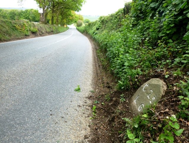
Appledore Brake is located at Grid Ref: SX3269 (Lat: 50.500113, Lng: -4.3611991)

Unitary Authority: Cornwall

Police Authority: Devon and Cornwall

What 3 Words

///guess.ocean.culling. Near Callington, Cornwall

Related Wikis

Trevigro

Trevigro is a hamlet in Cornwall, England, United Kingdom. It is about two miles west of Callington. == References ==

Golberdon

Golberdon is a village in Cornwall, England situated 6 miles (9.7 km) north-east of Liskeard. Golberdon is in the civil parish of South Hill (where the...

Gang, Cornwall

Gang is a hamlet in the parish of St Ive and Pensilva in east Cornwall, England, UK. == References ==

Frogwell

Frogwell is a hamlet in the parish of Callington, Cornwall, England. It is in the valley of the River Lynher. == References ==

Parkfield, Cornwall

Parkfield is a hamlet in the parish of St Ive and Pensilva, Cornwall, England. == References ==

St Ive

St Ive ( EEV; Cornish: Sen Iv) is a village in the civil parish of St Ive and Pensilva in eastern Cornwall, England, United Kingdom. The village is split...

St Ive and Pensilva

St Ive and Pensilva, formerly St Ive is a civil parish in Cornwall, England, United Kingdom. The parish has 4,246 residents and an area of 6,894 acres...

Maders

Maders is a hamlet west of Kelly Bray in the parish of South Hill (where the population of the 2011 census was included) in east Cornwall, England. �...

Nearby Amenities

Located within 500m of 50.500113,-4.3611991
Power: pole
Lat/Long: 50.5030143/-4.3574417
Power: pole
Lat/Long: 50.503533/-4.3587908
Power: pole
Lat/Long: 50.5040345/-4.3600515
Power: pole
Lat/Long: 50.5046026/-4.3614355
The data included in this document is from www.openstreetmap.org. The data is made available under ODbL.

Have you been to Appledore Brake?

Leave your review of Appledore Brake below (or comments, questions and feedback).