Appledore Wood

Wood, Forest in Cornwall

England

Appledore Wood

Bus shelter on A390 at Keason Cottages
Bus shelter on A390 at Keason Cottages Credit: David Smith

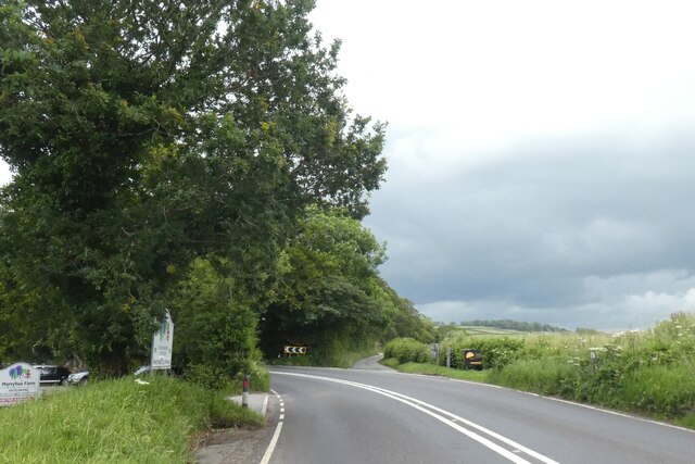
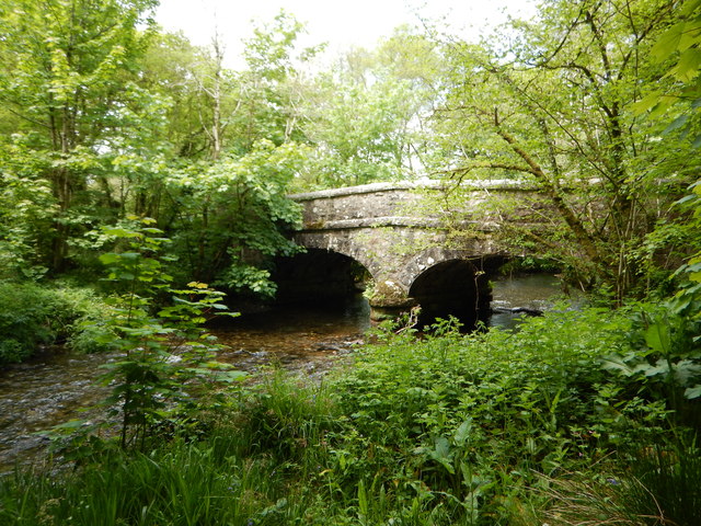
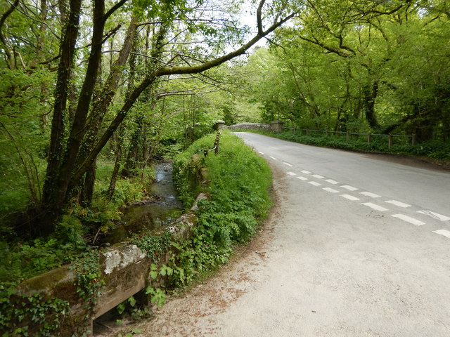
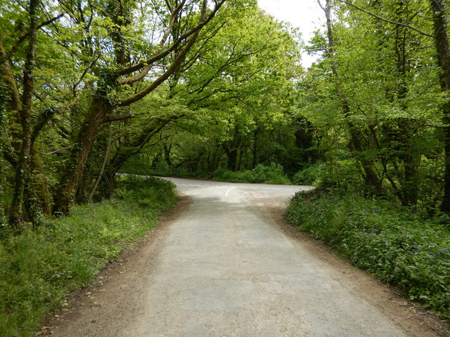
Appledore Wood is a picturesque woodland located in Cornwall, England. Covering an area of approximately 50 acres, it is a popular destination for nature enthusiasts and hikers alike. The wood is situated near the village of Appledore, which adds to its charm and accessibility.

As one explores the wood, they are greeted by a diverse range of flora and fauna. Towering oak and beech trees dominate the landscape, creating a dense canopy that provides shade and shelter to the woodland floor below. In spring, the forest floor comes alive with a vibrant carpet of bluebells, creating a stunning sight for visitors.

The wood is home to a variety of wildlife, making it an ideal spot for birdwatching and animal spotting. Visitors might be lucky enough to catch a glimpse of deer, foxes, and numerous species of birds, including woodpeckers and owls. The tranquil atmosphere of Appledore Wood also attracts small mammals such as badgers, rabbits, and squirrels.

For those seeking outdoor activities, the wood offers several walking trails and paths, allowing visitors to explore its natural beauty at their own pace. These trails are well-maintained and clearly marked, making it easy for visitors to navigate through the wood.

Appledore Wood also holds historical significance. It is believed that the wood has been in existence for hundreds of years, with some parts dating back to medieval times. This adds a sense of enchantment and mystery to the wood, as visitors can imagine the stories and events that may have taken place within its leafy confines.

Overall, Appledore Wood is a true gem of Cornwall, offering a peaceful escape into nature with its stunning scenery, diverse wildlife, and rich history.

If you have any feedback on the listing, please let us know in the comments section below.

Appledore Wood Images

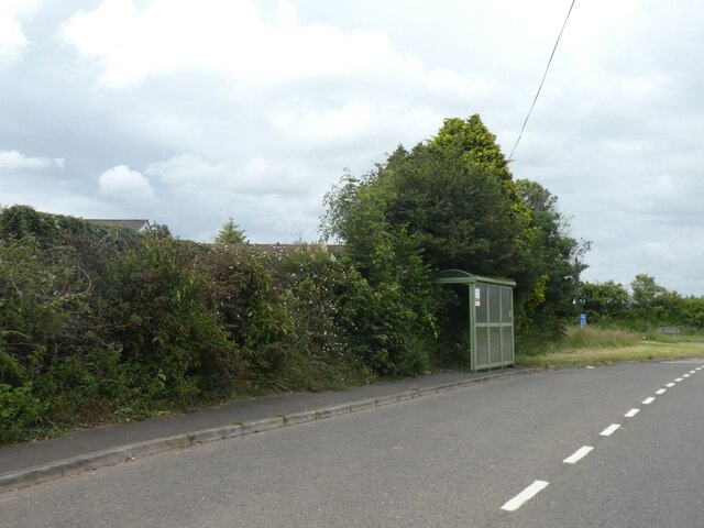
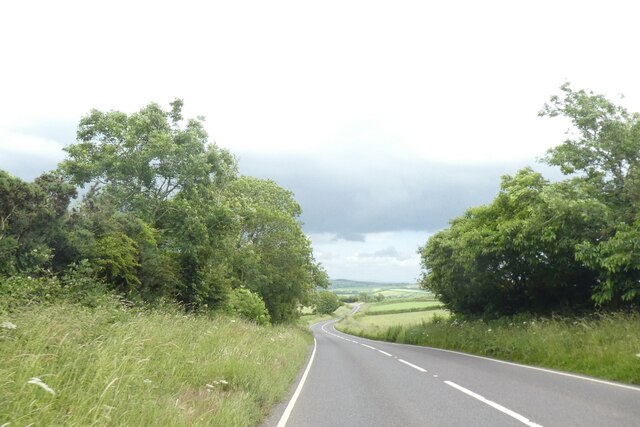
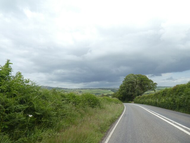
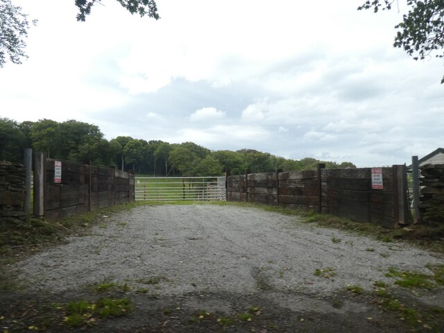
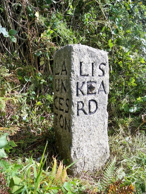
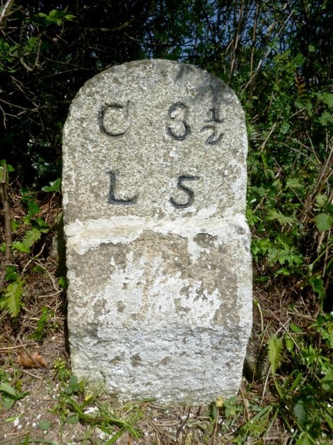
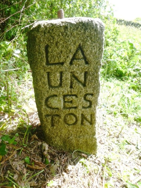
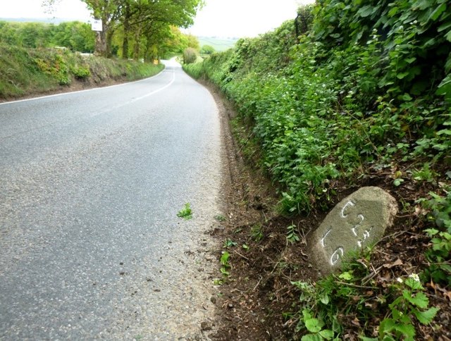
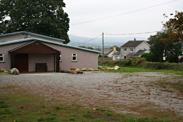
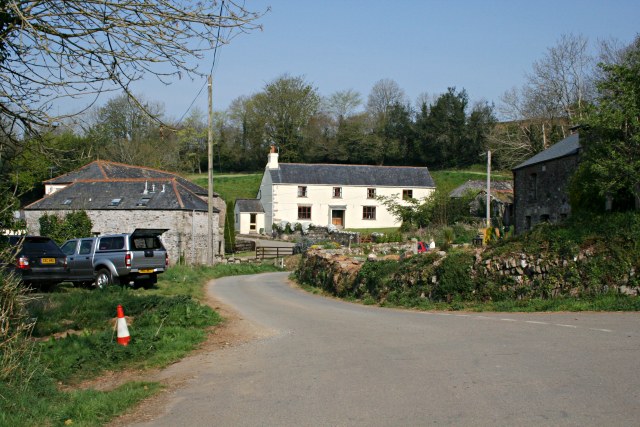
Images are sourced within 2km of 50.502675/-4.3621449 or Grid Reference SX3269. Thanks to Geograph Open Source API. All images are credited.

Bus shelter on A390 at Keason Cottages
A390 east of St Ive
A390 east of St Ive
A390 east of Merryhue
Farm entrance near Merryhue
Road junction at Merryhue The right fork off the A390 leads to Cadson and the hillfort there
Road junction at Merryhue
The right fork off the A390 leads to Cadson and the hillfort there
Batts Chapel A former Bethel Wesleyan Methodist Chapel.
Batts Chapel
A former Bethel Wesleyan Methodist Chapel.
Former chapel
Former chapel
Burnt Wood Ford This ford is found at the foot of the track leading down through Burnt Wood.
Burnt Wood Ford
This ford is found at the foot of the track leading down through Burnt Wood.
Kerney Bridge on the River Lynher
Junction at Kerney Bridge near Berrio Mill
Rural Road Junction near Berrio Mill
Old Milestone by the A390 Carved stone post by the A390, in parish of ST IVE (CARADON District), 500m North West of Cadson, on steep bend, leaning against bank, on South side of road. Callington CL tombstone, erected by the Callington turnpike trust in the 19th century. 

Inscription reads:-
C 2½
L 6  

Grade II Listed. List Entry Number: 1140823
<span class="nowrap"><a title="https://historicengland.org.uk/listing/the-list/list-entry/1140823" rel="nofollow ugc noopener" href="https://historicengland.org.uk/listing/the-list/list-entry/1140823">Link</a><img style="margin-left:2px;" alt="External link" title="External link - shift click to open in new window" src="https://s1.geograph.org.uk/img/external.png" width="10" height="10"/></span>

Milestone Society National ID: CW_CLLK02.
Old Milestone by the A390
Carved stone post by the A390, in parish of ST IVE (CARADON District), 500m North West of Cadson, on steep bend, leaning against bank, on South side of road. Callington CL tombstone, erected by the Callington turnpike trust in the 19th century. Inscription reads:- C 2½ L 6 Grade II Listed. List Entry Number: 1140823 LinkExternal link Milestone Society National ID: CW_CLLK02.
Old Milestone by the A390 in Higher Keason Carved stone post by the A390, in parish of ST IVE (CARADON District), Higher Keason, Keason turn, against hedge (was in it). Broken - top half was loose, now restored, on North side of road. Callington CL tombstone, erected by the Callington turnpike trust in the 19th century. 

Inscription reads:-
C 3½
L 5   

Grade II Listed. List Entry Number: 1140829
<span class="nowrap"><a title="https://historicengland.org.uk/listing/the-list/list-entry/1140829" rel="nofollow ugc noopener" href="https://historicengland.org.uk/listing/the-list/list-entry/1140829">Link</a><img style="margin-left:2px;" alt="External link" title="External link - shift click to open in new window" src="https://s1.geograph.org.uk/img/external.png" width="10" height="10"/></span>

Milestone Society National ID: CW_CLLK03.
Old Milestone by the A390 in Higher Keason
Carved stone post by the A390, in parish of ST IVE (CARADON District), Higher Keason, Keason turn, against hedge (was in it). Broken - top half was loose, now restored, on North side of road. Callington CL tombstone, erected by the Callington turnpike trust in the 19th century. Inscription reads:- C 3½ L 5 Grade II Listed. List Entry Number: 1140829 LinkExternal link Milestone Society National ID: CW_CLLK03.
Old Guide Stone by the A390 at Higher Keason, St Ive Parish By the A390, in parish of St Ive (Caradon District), Higher Keason, turning at Higher Keason, set back from road by bank.

Inscription reads:-
: LA / UN / CES / TON : : LIS / KEA / RD : : CAL / LIN / GT / ON :

Grade II listed. List Entry Number: 1140829
<span class="nowrap"><a title="https://historicengland.org.uk/listing/the-list/list-entry/1140829" rel="nofollow ugc noopener" href="https://historicengland.org.uk/listing/the-list/list-entry/1140829">Link</a><img style="margin-left:2px;" alt="External link" title="External link - shift click to open in new window" src="https://s1.geograph.org.uk/img/external.png" width="10" height="10"/></span>

Surveyed

Milestone Society National ID: CW_XSTI3
Old Guide Stone by the A390 at Higher Keason, St Ive Parish
By the A390, in parish of St Ive (Caradon District), Higher Keason, turning at Higher Keason, set back from road by bank. Inscription reads:- : LA / UN / CES / TON : : LIS / KEA / RD : : CAL / LIN / GT / ON : Grade II listed. List Entry Number: 1140829 LinkExternal link Surveyed Milestone Society National ID: CW_XSTI3
Old Milestone by the A390 in Higher Keason Carved stone post by the A390, in parish of ST IVE (CARADON District), Higher Keason, Keason turn, against hedge (was in it) Broken - top half was loose, now restored, on North side of road. Callington 'CL' tombstone, erected by the Callington turnpike trust in the 19th century. 

Inscription reads:-
C 3½
L 5 

Grade II listed. 
List Entry Number: 1140829 <span class="nowrap"><a title="https://historicengland.org.uk/listing/the-list/list-entry/1140829" rel="nofollow ugc noopener" href="https://historicengland.org.uk/listing/the-list/list-entry/1140829">Link</a><img style="margin-left:2px;" alt="External link" title="External link - shift click to open in new window" src="https://s1.geograph.org.uk/img/external.png" width="10" height="10"/></span>

Milestone Society National ID: CW_CLLK03.
Old Milestone by the A390 in Higher Keason
Carved stone post by the A390, in parish of ST IVE (CARADON District), Higher Keason, Keason turn, against hedge (was in it) Broken - top half was loose, now restored, on North side of road. Callington 'CL' tombstone, erected by the Callington turnpike trust in the 19th century. Inscription reads:- C 3½ L 5 Grade II listed. List Entry Number: 1140829 LinkExternal link Milestone Society National ID: CW_CLLK03.
Old Guide Stone at Higher Keason Carved stone by the A390, in parish of St Ive (Caradon District), Higher Keason, turning at St Ive Keason, set back from road by bank.

Inscription reads:-
: LA / UN / CES / TON : : LIS / KEA / RD : : CAL / LIN / GT / ON :

Grade II listed.
List Entry Number: 1137039 <span class="nowrap"><a title="https://historicengland.org.uk/listing/the-list/list-entry/1137039" rel="nofollow ugc noopener" href="https://historicengland.org.uk/listing/the-list/list-entry/1137039">Link</a><img style="margin-left:2px;" alt="External link" title="External link - shift click to open in new window" src="https://s1.geograph.org.uk/img/external.png" width="10" height="10"/></span>

Surveyed

Milestone Society National ID: CW_XSTI3.
Old Guide Stone at Higher Keason
Carved stone by the A390, in parish of St Ive (Caradon District), Higher Keason, turning at St Ive Keason, set back from road by bank. Inscription reads:- : LA / UN / CES / TON : : LIS / KEA / RD : : CAL / LIN / GT / ON : Grade II listed. List Entry Number: 1137039 LinkExternal link Surveyed Milestone Society National ID: CW_XSTI3.
Old Milestone by the A390 Carved stone post by the A390, in parish of ST IVE (CARADON District), 500m Northwest of Cadson, on steep bend, leaning against bank, on South side of road. Callington 'CL' tombstone, erected by the Callington turnpike trust in the 19th century. 

Inscription reads:-
C 2½
L 6 

Grade II listed.
List Entry Number: 1140823 <span class="nowrap"><a title="https://historicengland.org.uk/listing/the-list/list-entry/1140823" rel="nofollow ugc noopener" href="https://historicengland.org.uk/listing/the-list/list-entry/1140823">Link</a><img style="margin-left:2px;" alt="External link" title="External link - shift click to open in new window" src="https://s1.geograph.org.uk/img/external.png" width="10" height="10"/></span>

Milestone Society National ID: CW_CLLK02.
Old Milestone by the A390
Carved stone post by the A390, in parish of ST IVE (CARADON District), 500m Northwest of Cadson, on steep bend, leaning against bank, on South side of road. Callington 'CL' tombstone, erected by the Callington turnpike trust in the 19th century. Inscription reads:- C 2½ L 6 Grade II listed. List Entry Number: 1140823 LinkExternal link Milestone Society National ID: CW_CLLK02.
Track to Appledore Farm The start of the long track from the A390 to this farm which lies about 1km away in SX3268.
Track to Appledore Farm
The start of the long track from the A390 to this farm which lies about 1km away in SX3268.
Show me another place!

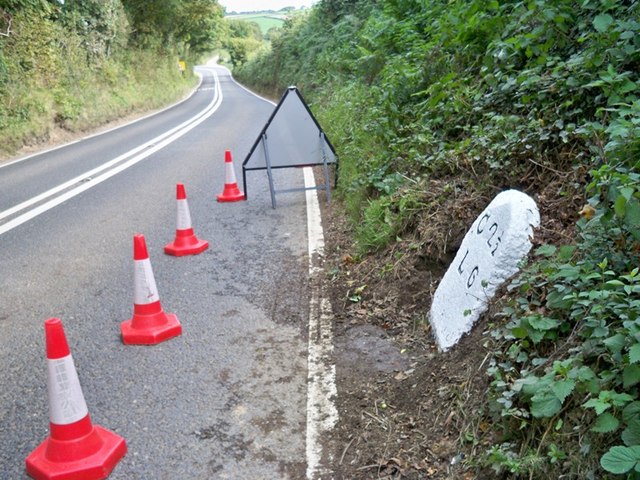
Appledore Wood is located at Grid Ref: SX3269 (Lat: 50.502675, Lng: -4.3621449)

Unitary Authority: Cornwall

Police Authority: Devon and Cornwall

What 3 Words

///finders.bystander.overpaid. Near Callington, Cornwall

Related Wikis

Trevigro

Trevigro is a hamlet in Cornwall, England, United Kingdom. It is about two miles west of Callington. == References ==

Golberdon

Golberdon is a village in Cornwall, England situated 6 miles (9.7 km) north-east of Liskeard. Golberdon is in the civil parish of South Hill (where the...

Gang, Cornwall

Gang is a hamlet in the parish of St Ive and Pensilva in east Cornwall, England, UK. == References ==

Frogwell

Frogwell is a hamlet in the parish of Callington, Cornwall, England. It is in the valley of the River Lynher. == References ==

Nearby Amenities

Located within 500m of 50.502675,-4.3621449
Power: pole
Lat/Long: 50.5030502/-4.3554434
Power: pole
Lat/Long: 50.5030143/-4.3574417
Power: pole
Lat/Long: 50.503533/-4.3587908
Power: pole
Lat/Long: 50.5040345/-4.3600515
Power: pole
Lat/Long: 50.5046026/-4.3614355
Power: pole
Lat/Long: 50.5051451/-4.3628624
Power: pole
Lat/Long: 50.505447/-4.3635786
Power: pole
Lat/Long: 50.5063614/-4.3645629
The data included in this document is from www.openstreetmap.org. The data is made available under ODbL.

Have you been to Appledore Wood?

Leave your review of Appledore Wood below (or comments, questions and feedback).