Waterhill Wood

Wood, Forest in Cornwall

England

Waterhill Wood

Batts Chapel A former Bethel Wesleyan Methodist Chapel.
Batts Chapel Credit: Paul Barnett

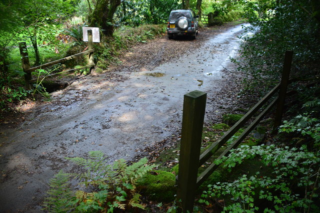
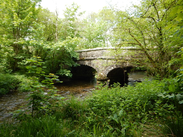
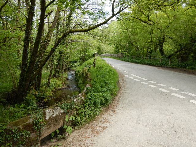
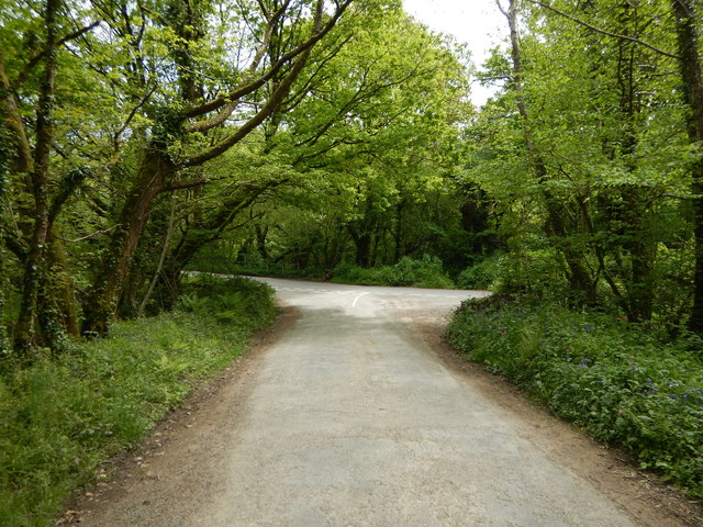
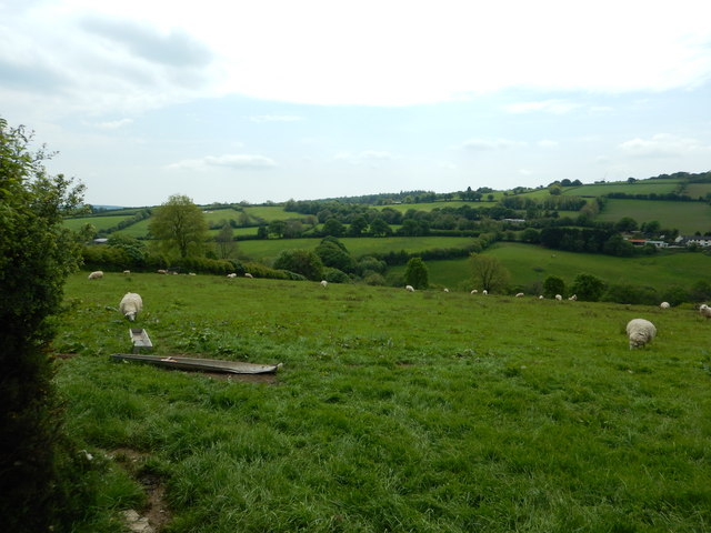
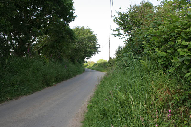
Waterhill Wood is a picturesque forest located in the county of Cornwall, England. Situated in the southeastern part of the county, the wood covers an area of approximately 80 acres and is surrounded by stunning natural landscapes. The wood is a popular destination for nature lovers, hikers, and those seeking a peaceful retreat.

Waterhill Wood is characterized by its diverse range of trees, including oak, beech, and birch, which create a dense canopy overhead. These trees provide a sheltered environment for a variety of wildlife, making the wood a haven for birdwatchers and animal enthusiasts. Visitors to the wood may spot species such as woodpeckers, owls, badgers, and deer.

Tranquil walking trails wind their way through the wood, offering visitors the opportunity to explore its natural beauty at their own pace. The paths are well-maintained, making them accessible to people of all ages and abilities. The wood also features several picnic areas, where visitors can relax and take in the peaceful surroundings.

Waterhill Wood is a designated Site of Special Scientific Interest (SSSI), recognized for its diverse ecosystem and unique flora and fauna. The wood is home to a wide range of plant species, including bluebells, wild garlic, and ferns, which create a vibrant and colorful display during the spring and summer months.

Overall, Waterhill Wood is a tranquil and enchanting destination for those seeking a connection with nature. Its diverse range of wildlife, well-maintained trails, and beautiful scenery make it an ideal location for outdoor enthusiasts and those looking to escape the hustle and bustle of everyday life.

If you have any feedback on the listing, please let us know in the comments section below.

Waterhill Wood Images

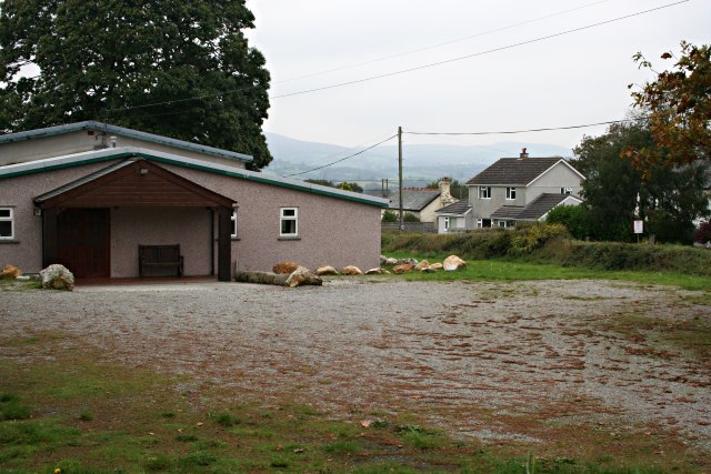
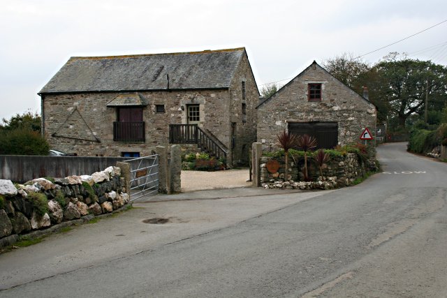
Images are sourced within 2km of 50.504708/-4.3629939 or Grid Reference SX3269. Thanks to Geograph Open Source API. All images are credited.

Batts Chapel A former Bethel Wesleyan Methodist Chapel.
Batts Chapel
A former Bethel Wesleyan Methodist Chapel.
Former chapel
Former chapel
Burnt Wood Ford This ford is found at the foot of the track leading down through Burnt Wood.
Burnt Wood Ford
This ford is found at the foot of the track leading down through Burnt Wood.
Charaton Ford This is a second ford along the track in Penharget Wood.
Charaton Ford
This is a second ford along the track in Penharget Wood.
Kerney Bridge on the River Lynher
Junction at Kerney Bridge near Berrio Mill
Rural Road Junction near Berrio Mill
Fields near Longridge Farming in Cornwall
Fields near Longridge
Farming in Cornwall
Callington Water Treatment Works Situated down by the River Lynher near Lendra Wood.
Callington Water Treatment Works
Situated down by the River Lynher near Lendra Wood.
Converted building near Lendra Wood This seems to be an example of an old barn or industrial buildings converted to residential use.
Converted building near Lendra Wood
This seems to be an example of an old barn or industrial buildings converted to residential use.
Woodland and Meadow Lendra Wood is on the left of the picture while Lower Wood can be seen further back on the right.  The edge of Lower Wood marks the position of the river Lynher which flows along the far edge of the meadow.
Woodland and Meadow
Lendra Wood is on the left of the picture while Lower Wood can be seen further back on the right. The edge of Lower Wood marks the position of the river Lynher which flows along the far edge of the meadow.
Road Junction on Minor Roads Near Lendra Woods
Road Junction on Minor Roads
Near Lendra Woods
Farm Buildings in October The closest of these buildings is covered with Boston Ivy which is giving a riot of colour on this grey October day.
Farm Buildings in October
The closest of these buildings is covered with Boston Ivy which is giving a riot of colour on this grey October day.
Piggery at Woodcock's Well
Windpump at Woodcock's Well Most windpumps of this sort that you see around farmland are derelict but this one looks to be well maintained.
Windpump at Woodcock's Well
Most windpumps of this sort that you see around farmland are derelict but this one looks to be well maintained.
Across the field to New Garden
Country road between Gang and Bicton Manor The hedge on the left hides a few houses.
Country road between Gang and Bicton Manor
The hedge on the left hides a few houses.
Bicton Manor Bicton Manor, a large 18th to 19th century house, is hidden amongst the trees.
Bicton Manor
Bicton Manor, a large 18th to 19th century house, is hidden amongst the trees.
Show me another place!

Waterhill Wood is located at Grid Ref: SX3269 (Lat: 50.504708, Lng: -4.3629939)

Unitary Authority: Cornwall

Police Authority: Devon and Cornwall

What 3 Words

///kickbacks.fights.husband. Near South Hill, Cornwall

Related Wikis

Trevigro

Trevigro is a hamlet in Cornwall, England, United Kingdom. It is about two miles west of Callington. == References ==

Golberdon

Golberdon is a village in Cornwall, England situated 6 miles (9.7 km) north-east of Liskeard. Golberdon is in the civil parish of South Hill (where the...

Gang, Cornwall

Gang is a hamlet in the parish of St Ive and Pensilva in east Cornwall, England, UK. == References ==

Maders

Maders is a hamlet west of Kelly Bray in the parish of South Hill (where the population of the 2011 census was included) in east Cornwall, England. �...

Nearby Amenities

Located within 500m of 50.504708,-4.3629939
Power: pole
Lat/Long: 50.5030143/-4.3574417
Power: pole
Lat/Long: 50.503533/-4.3587908
Power: pole
Lat/Long: 50.5040345/-4.3600515
Power: pole
Lat/Long: 50.5046026/-4.3614355
Power: pole
Lat/Long: 50.5051451/-4.3628624
Power: pole
Lat/Long: 50.505447/-4.3635786
Power: pole
Lat/Long: 50.5063614/-4.3645629
Power: pole
Lat/Long: 50.5073508/-4.3656734
Power: pole
Lat/Long: 50.5082668/-4.3666926
The data included in this document is from www.openstreetmap.org. The data is made available under ODbL.

Have you been to Waterhill Wood?

Leave your review of Waterhill Wood below (or comments, questions and feedback).