Braggshill Wood

Wood, Forest in Cornwall

England

Braggshill Wood

Old Direction Sign - Signpost in Boyton Pyramid spear finial - 3 arms; Cornwall CC iron spear by the UC road, in parish of Boyton (North Cornwall District), in front of terraced houses, on verge, West side of road.

Cornwall & Scilly HER.
HER Number: MCO57744 <span class="nowrap"><a title="https://www.heritagegateway.org.uk/Gateway/Results_Single.aspx?uid=MCO57744&resourceID=1020" rel="nofollow ugc noopener" href="https://www.heritagegateway.org.uk/Gateway/Results_Single.aspx?uid=MCO57744&resourceID=1020">Link</a><img style="margin-left:2px;" alt="External link" title="External link - shift click to open in new window" src="https://s1.geograph.org.uk/img/external.png" width="10" height="10"/></span>

Surveyed

Milestone Society National ID: CW_SX3191
Old Direction Sign - Signpost in Boyton Credit: Milestone Society

Braggshill Wood is a picturesque woodland located in Cornwall, England. Spanning across an area of approximately 100 acres, this enchanting forest is renowned for its natural beauty and diverse flora and fauna. Situated near the small village of Braggshill, the wood is easily accessible and attracts nature enthusiasts, hikers, and photographers alike.

The woodland is characterized by its dense canopies of ancient oak and beech trees, creating a serene and tranquil setting. The towering trees provide a habitat for a wide variety of wildlife, including birds, deer, foxes, and badgers. Birdwatchers can spot species such as woodpeckers, owls, and thrushes, making it a haven for ornithologists.

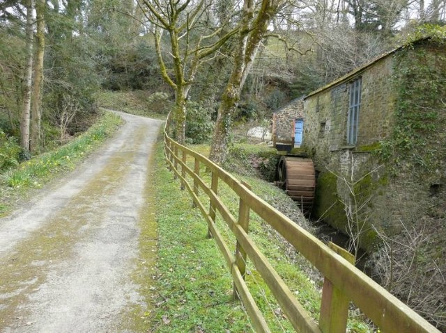
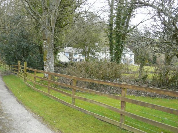
Walking through Braggshill Wood, visitors can explore its numerous well-marked trails, allowing them to immerse themselves in the peaceful surroundings. The forest floor is carpeted with bluebells in spring and vibrant ferns in summer, adding splashes of color to the verdant landscape. The scent of wildflowers fills the air, enhancing the sensory experience of the woodland.

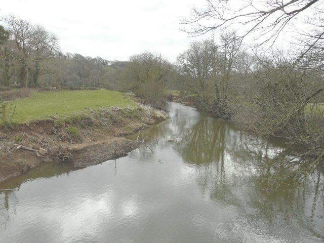
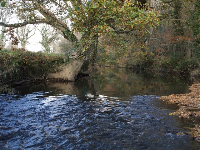
The wood also features a small stream that meanders through its heart, creating a soothing ambiance. A wooden footbridge allows visitors to cross the stream and continue their exploration of the forest. There are also designated picnic areas, where visitors can take a break and enjoy the tranquility of the surroundings.

Braggshill Wood is not only a place of natural beauty but also of historical significance. It is believed to have been a sacred site for worship in ancient times, with remnants of stone circles and burial mounds discovered within its boundaries.

In conclusion, Braggshill Wood is a captivating woodland in Cornwall, offering a serene escape into nature. Its ancient trees, diverse wildlife, and scenic trails make it a must-visit destination for nature lovers and those seeking a peaceful retreat.

If you have any feedback on the listing, please let us know in the comments section below.

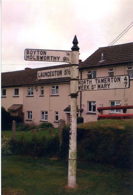
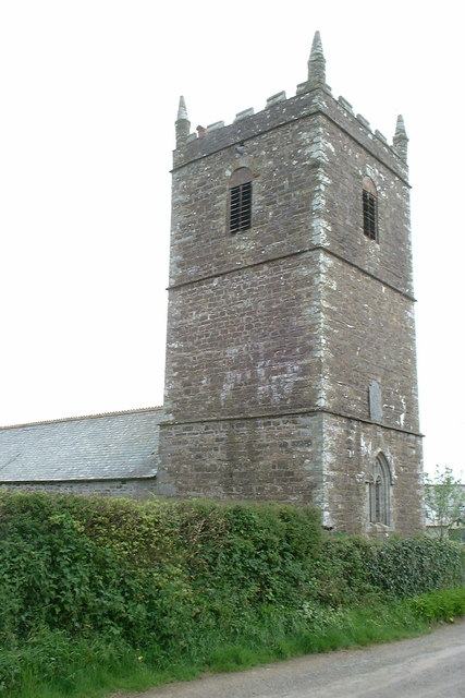
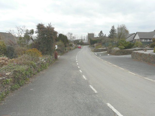
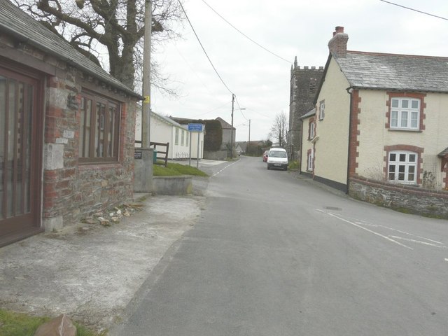
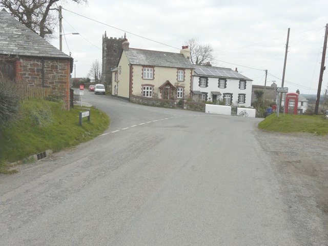
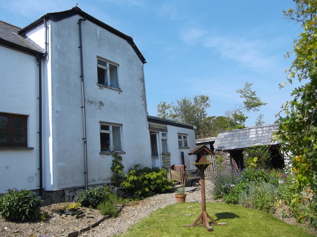
Braggshill Wood Images

Images are sourced within 2km of 50.709706/-4.3714776 or Grid Reference SX3292. Thanks to Geograph Open Source API. All images are credited.

Old Direction Sign - Signpost in Boyton Pyramid spear finial - 3 arms; Cornwall CC iron spear by the UC road, in parish of Boyton (North Cornwall District), in front of terraced houses, on verge, West side of road.

Cornwall & Scilly HER.
HER Number: MCO57744 <span class="nowrap"><a title="https://www.heritagegateway.org.uk/Gateway/Results_Single.aspx?uid=MCO57744&resourceID=1020" rel="nofollow ugc noopener" href="https://www.heritagegateway.org.uk/Gateway/Results_Single.aspx?uid=MCO57744&resourceID=1020">Link</a><img style="margin-left:2px;" alt="External link" title="External link - shift click to open in new window" src="https://s1.geograph.org.uk/img/external.png" width="10" height="10"/></span>

Surveyed

Milestone Society National ID: CW_SX3191
Old Direction Sign - Signpost in Boyton
Pyramid spear finial - 3 arms; Cornwall CC iron spear by the UC road, in parish of Boyton (North Cornwall District), in front of terraced houses, on verge, West side of road. Cornwall & Scilly HER. HER Number: MCO57744 LinkExternal link Surveyed Milestone Society National ID: CW_SX3191
Holy Name church, Boyton, Cornwall
Looking along Underlane Towards the church tower of Holy Name.
Looking along Underlane
Towards the church tower of Holy Name.
Looking along Underlane With the church tower of Holy Name on the right.
Looking along Underlane
With the church tower of Holy Name on the right.
The road through Boyton With the name-plate for Underhill (the road to the left) on the grass verge and the church tower of Holy Name beyond.
The road through Boyton
With the name-plate for Underhill (the road to the left) on the grass verge and the church tower of Holy Name beyond.
The Tamar from Boytonbridge
Waterwheel, Boyton Mill Seen from the bridleway past the mill.
Waterwheel, Boyton Mill
Seen from the bridleway past the mill.
Boyton Mill Seen from the bridleway past the mill.
Boyton Mill
Seen from the bridleway past the mill.
Downhayes Cottage The present structure comprises an original early nineteenth century cottage (nearest the lane) with a more recent extension built on at right angles. Some of the original outbuildings still stand (see right of picture). Down Hays (so spelt in the Census of 1841) was one of a number of cottages on the estate of Polapit Tamar which was owned during the nineteenth century by Edward Coode. Polapit Tamar House still stands, as does Wilkie (formerly Wilkey) Down cottage. All three properties are just off the Boyton to Yeolmbridge Road.
Downhayes Cottage
The present structure comprises an original early nineteenth century cottage (nearest the lane) with a more recent extension built on at right angles. Some of the original outbuildings still stand (see right of picture). Down Hays (so spelt in the Census of 1841) was one of a number of cottages on the estate of Polapit Tamar which was owned during the nineteenth century by Edward Coode. Polapit Tamar House still stands, as does Wilkie (formerly Wilkey) Down cottage. All three properties are just off the Boyton to Yeolmbridge Road.
Boyton Bridge This not too impressive bridge was built in April 2006 to replace a similarly uninspring metal bridge.
Boyton Bridge
This not too impressive bridge was built in April 2006 to replace a similarly uninspring metal bridge.
Nissen hut above Boyton Bridge This hut is the remains of what I believe was an Italian PoW camp from WW2
Nissen hut above Boyton Bridge
This hut is the remains of what I believe was an Italian PoW camp from WW2
Canal basin The depression shown in the picture was a basin on the Launceston branch of the Bude Canal, which was constructed in the 1820s and ceased to operate in about 1891.  More excellent info on this is available at <span class="nowrap"><a title="http://www.bude-canal.co.uk/" rel="nofollow ugc noopener" href="http://www.bude-canal.co.uk/">Link</a><img style="margin-left:2px;" alt="External link" title="External link - shift click to open in new window" src="https://s1.geograph.org.uk/img/external.png" width="10" height="10"/></span>
Canal basin
The depression shown in the picture was a basin on the Launceston branch of the Bude Canal, which was constructed in the 1820s and ceased to operate in about 1891. More excellent info on this is available at LinkExternal link
Farmland near Higher Northcott Field boundaries and crop lines flow up the slope of the valley of a small tributary of the Tamar. Seen from the no through lane off the A388 leading to the farm at Hele.
Farmland near Higher Northcott
Field boundaries and crop lines flow up the slope of the valley of a small tributary of the Tamar. Seen from the no through lane off the A388 leading to the farm at Hele.
Valley near West Peeke The square is dominated by this deep valley carrying a small tributary of the Tamar westwards (to the right). The lane is a no through road from the farm at West Peeke, which turns sharply up the valley at this point, crossing it at the eastern edge of the square (<a href="https://www.geograph.org.uk/photo/609362">SX3493 : Lane across the valley</a>).
Valley near West Peeke
The square is dominated by this deep valley carrying a small tributary of the Tamar westwards (to the right). The lane is a no through road from the farm at West Peeke, which turns sharply up the valley at this point, crossing it at the eastern edge of the square (SX3493 : Lane across the valley).
The Tamar valley “View? What view?” Jersey cattle near the farm at West Peeke. Behind them, the river runs (to the left) along the edge of Bradridge Wood which climbs the western slopes. The side valley is in SX3293, with Cot Wood rising beyond it into SX3294.
The Tamar valley
“View? What view?” Jersey cattle near the farm at West Peeke. Behind them, the river runs (to the left) along the edge of Bradridge Wood which climbs the western slopes. The side valley is in SX3293, with Cot Wood rising beyond it into SX3294.
Trees near the Tamar Seen from St. Giles on the Heath Footpath 3 as it passes through the field boundary on the right, which drops (actually it is the western side of an old track) along the line of the oaks to meet Northcott Wood on the other side of a small stream. The River Tamar is a couple of hundred metres to the left, more or less on the gridline.
Trees near the Tamar
Seen from St. Giles on the Heath Footpath 3 as it passes through the field boundary on the right, which drops (actually it is the western side of an old track) along the line of the oaks to meet Northcott Wood on the other side of a small stream. The River Tamar is a couple of hundred metres to the left, more or less on the gridline.
River Tamar at Northcott Wood Taken from a metre or so into the water, looking upstream. The west bank (the one on the left, which would be known as the "right bank"), with the precariously poised old oak, is in SX3291; the east side, with Northcott Wood rising from it, is in SX3292. Most of the water is in the former square. A small stream, which has run along the south edge of the wood, enters a few metres away on the right.
River Tamar at Northcott Wood
Taken from a metre or so into the water, looking upstream. The west bank (the one on the left, which would be known as the "right bank"), with the precariously poised old oak, is in SX3291; the east side, with Northcott Wood rising from it, is in SX3292. Most of the water is in the former square. A small stream, which has run along the south edge of the wood, enters a few metres away on the right.
Boyton Mill Some of the buildings next to the early C19 mill, on a leat at the side of the Tamar valley. Seen from Northcott Bridleway 1 as it descends from the hamlet at Northcott.
Boyton Mill
Some of the buildings next to the early C19 mill, on a leat at the side of the Tamar valley. Seen from Northcott Bridleway 1 as it descends from the hamlet at Northcott.
Show me another place!

Braggshill Wood is located at Grid Ref: SX3292 (Lat: 50.709706, Lng: -4.3714776)

Unitary Authority: Cornwall

Police Authority: Devon and Cornwall

What 3 Words

///rooster.evoked.treaty. Near Boyton, Cornwall

Nearby Locations

Braggshill Wood

Related Wikis

Luffincott

Luffincott is a civil parish in the far west of Devon, England. It forms part of the local government district of Torridge and lies about six miles south...

Boyton, Cornwall

Boyton (Cornish: Trevoya) is a civil parish and village in Cornwall, England, United Kingdom. It is situated close to the River Tamar and the border with...

Northcott, Devon

Northcott is a small settlement and civil parish in the far west of Devon, England. It lies about seven miles south of the town of Holsworthy and forms...

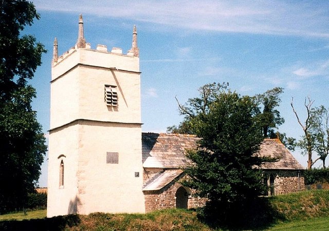
St James's Church, Luffincott

St James's Church in Luffincott, Devon, England was built in the 15th century. It is recorded in the National Heritage List for England as a designated...

Have you been to Braggshill Wood?

Leave your review of Braggshill Wood below (or comments, questions and feedback).