Chatterton
Settlement in Lancashire Rossendale
England
Chatterton
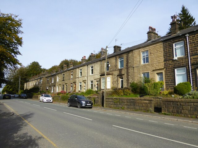
Chatterton is a small village located in the county of Lancashire, England. Situated in the borough of Rossendale, it is surrounded by picturesque countryside and offers a peaceful and idyllic setting for its residents. With a population of around 1,500, Chatterton is known for its close-knit community and friendly atmosphere.
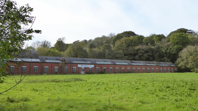
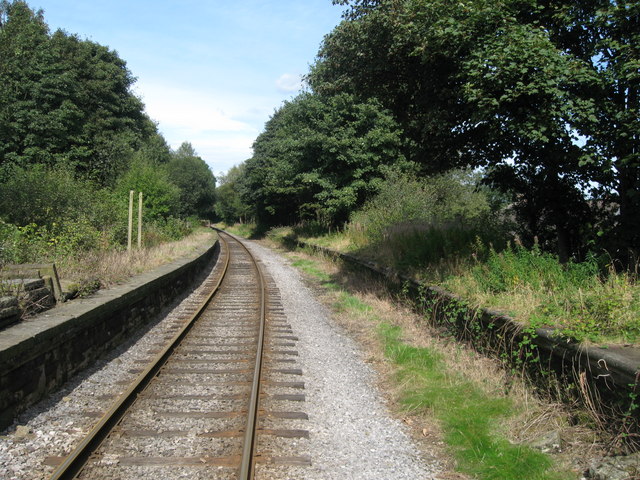
The village has a rich history, with evidence of settlement dating back to the Roman times. It was primarily an agricultural area until the Industrial Revolution, when it experienced a shift towards textile manufacturing. Today, Chatterton retains traces of its industrial past, with some old mills and factory buildings still standing as reminders of its heritage.
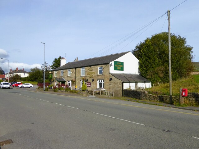
In terms of amenities, Chatterton has a few local shops, a post office, and a traditional village pub, which serves as a social hub for residents. For a wider range of facilities, the nearby town of Rawtenstall provides additional shopping, dining, and leisure options.
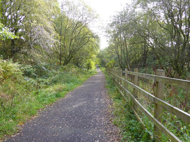
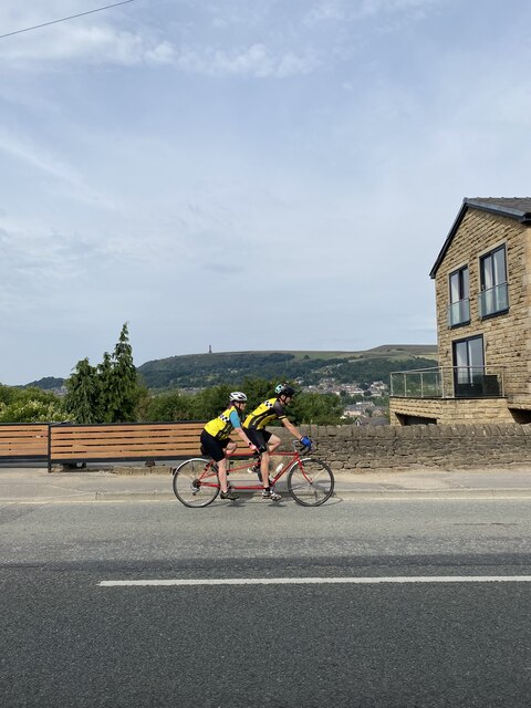
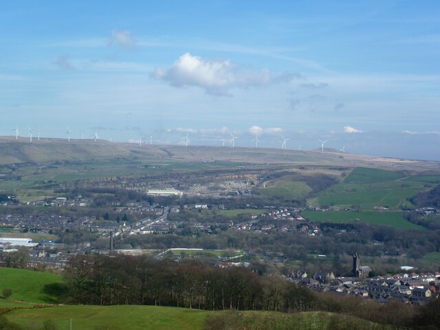
Nature enthusiasts will appreciate Chatterton's proximity to stunning natural landmarks, such as the Rossendale Valley and the West Pennine Moors. These areas offer ample opportunities for outdoor activities such as hiking, cycling, and wildlife spotting.
Transportation in Chatterton is primarily reliant on private vehicles, as there is limited public transport available. However, the village benefits from good road connections, with the A682 providing easy access to larger towns and cities in the region.
Overall, Chatterton is a charming village that offers a tranquil lifestyle amidst beautiful surroundings, making it an attractive place to live for those seeking a close community and a connection to Lancashire's history.
If you have any feedback on the listing, please let us know in the comments section below.
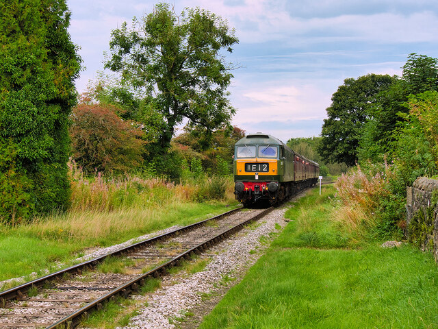
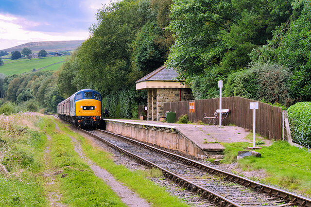
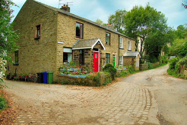
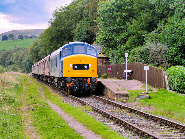
Chatterton Images
Images are sourced within 2km of 53.661755/-2.315644 or Grid Reference SD7918. Thanks to Geograph Open Source API. All images are credited.


Chatterton is located at Grid Ref: SD7918 (Lat: 53.661755, Lng: -2.315644)
Administrative County: Lancashire
District: Rossendale
Police Authority: Lancashire
What 3 Words
///edges.poses.mocked. Near Edenfield, Lancashire
Nearby Locations
Related Wikis

Chatterton, Lancashire
Chatterton is a small village in the southern part of the Rossendale Valley, Lancashire, England. It is half a mile north of Ramsbottom town centre on...

Strongstry
Strongstry is a small hamlet in Rossendale, Lancashire, England. The hamlet is only accessible by an unadopted road running through a factory. It is accessible...

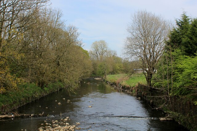
Irwell Valley
The Irwell Valley in North West England extends from the Forest of Rossendale through the cities of Salford and Manchester. The River Irwell runs through...
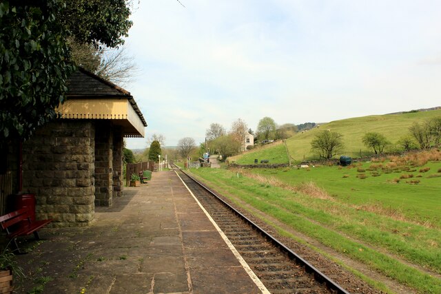
Stubbins railway station
Stubbins railway station served the village of Stubbins, Rossendale, Lancashire, England. Opened by the East Lancashire Railway in 1847 on their line...

Edenfield
Edenfield is a village within the Rossendale borough of Lancashire, England. Lying on the River Irwell, it is around 1.25 miles (2.0 km) north of Ramsbottom...

Stubbins
Stubbins is an industrial village in the southern part of the Rossendale Valley, Lancashire, England. It is half a mile north of Ramsbottom town centre...

Ramsbottom
Ramsbottom is a market town in the Metropolitan Borough of Bury, Greater Manchester, England. The population at the 2011 census was 17,872.Historically...

Irwell Vale
Irwell Vale is a village within the Rossendale borough of Lancashire, in North West England. which lies at the confluence of the River Ogden and River...
Nearby Amenities
Located within 500m of 53.661755,-2.315644Have you been to Chatterton?
Leave your review of Chatterton below (or comments, questions and feedback).