Strongstry
Settlement in Lancashire Rossendale
England
Strongstry
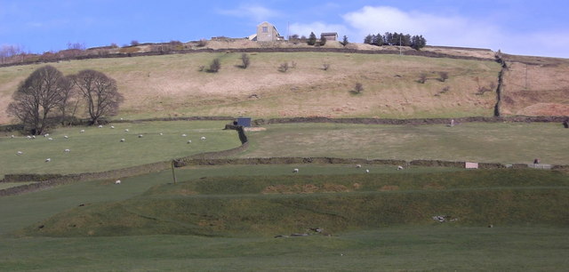
Strongstry is a small village located in the county of Lancashire, England. Situated in the picturesque Ribble Valley, it is nestled between the towns of Clitheroe and Whalley. The village is surrounded by lush green fields and rolling hills, offering breathtaking views of the countryside.
Strongstry is known for its rich history and traditional charm. The village is home to several historic landmarks, including St. John the Evangelist Church, a beautiful 19th-century building that dominates the skyline. The church is a popular destination for visitors, attracting many with its stunning architecture and peaceful atmosphere.
The village has a close-knit community, with a population of around 500 residents. The locals are known for their friendly nature and welcoming attitude towards visitors. Strongstry has a strong sense of community spirit, with various events and activities organized throughout the year, including village fairs, fundraising events, and sports competitions.
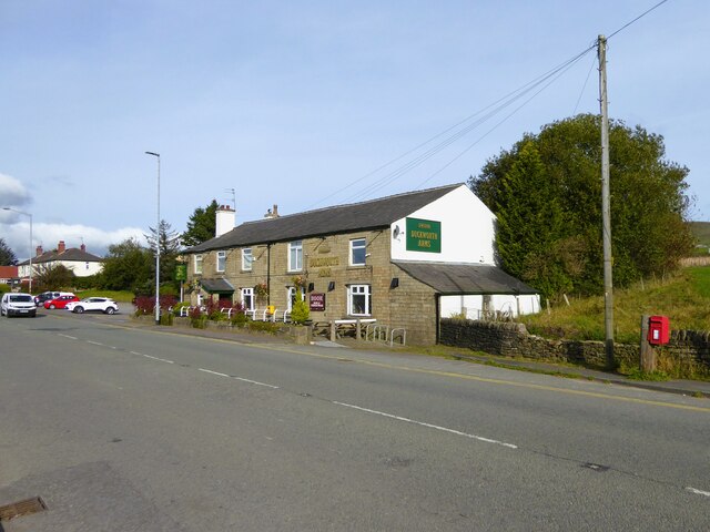
Despite its small size, Strongstry offers a range of amenities for its residents and visitors. There are a few local shops, including a grocery store and a post office, providing essential services to the community. The village also has a primary school, offering education to the local children.
For nature enthusiasts, Strongstry is surrounded by stunning countryside, perfect for hiking, cycling, and exploring. The nearby Forest of Bowland, an Area of Outstanding Natural Beauty, offers ample opportunities for outdoor activities and wildlife spotting.
In conclusion, Strongstry is a charming village in Lancashire, known for its rich history, friendly community, and beautiful countryside. It is an ideal destination for those seeking a peaceful retreat and a chance to immerse themselves in the beauty of rural England.
If you have any feedback on the listing, please let us know in the comments section below.
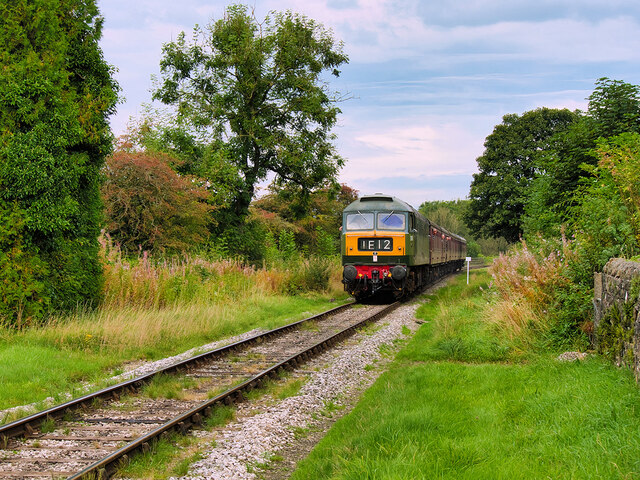
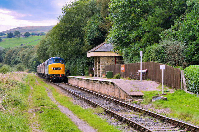
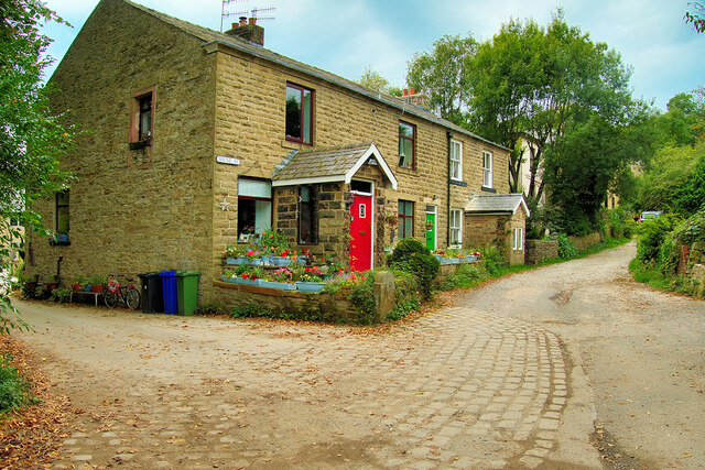
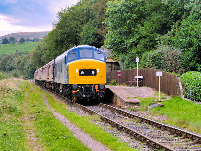
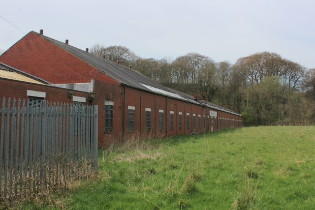
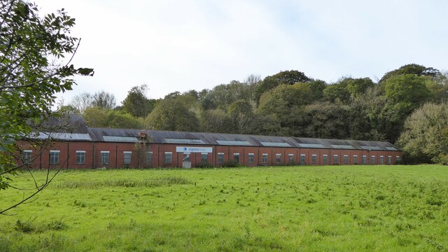
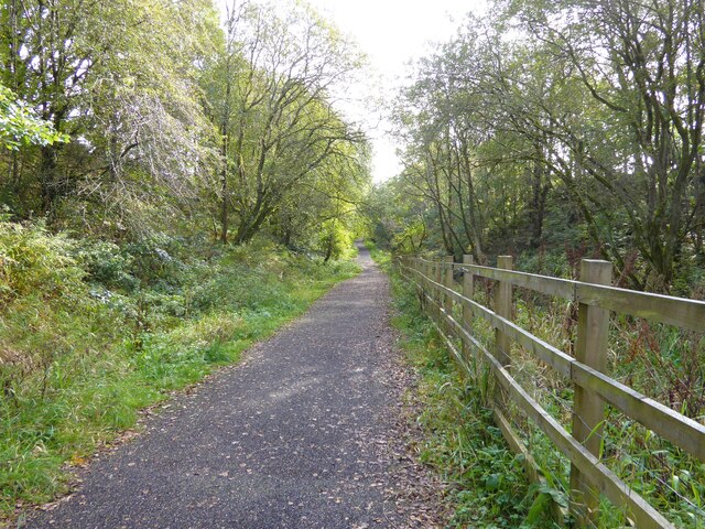
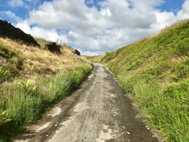
Strongstry Images
Images are sourced within 2km of 53.665577/-2.3167053 or Grid Reference SD7918. Thanks to Geograph Open Source API. All images are credited.


Strongstry is located at Grid Ref: SD7918 (Lat: 53.665577, Lng: -2.3167053)
Administrative County: Lancashire
District: Rossendale
Police Authority: Lancashire
What 3 Words
///shares.ballparks.addicted. Near Edenfield, Lancashire
Nearby Locations
Related Wikis

Strongstry
Strongstry is a small hamlet in Rossendale, Lancashire, England. The hamlet is only accessible by an unadopted road running through a factory. It is accessible...

Chatterton, Lancashire
Chatterton is a small village in the southern part of the Rossendale Valley, Lancashire, England. It is half a mile north of Ramsbottom town centre on...

Edenfield
Edenfield is a village within the Rossendale borough of Lancashire, England. Lying on the River Irwell, it is around 1.25 miles (2.0 km) north of Ramsbottom...

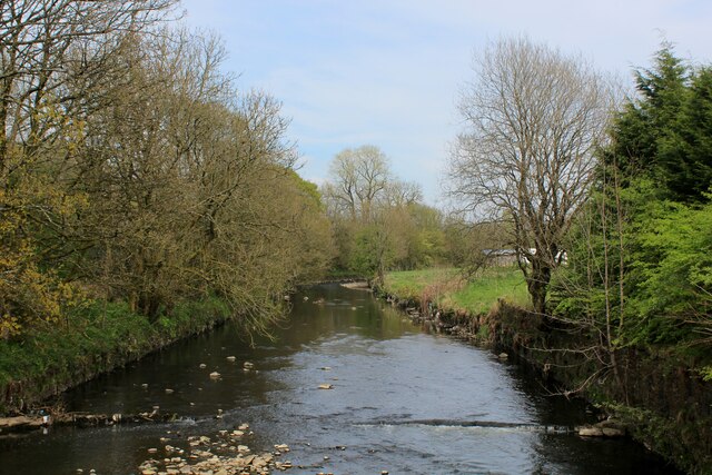
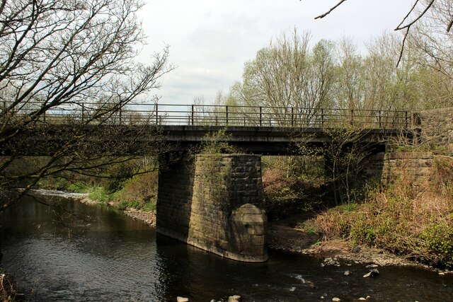
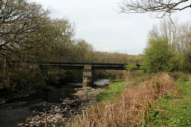
Irwell Valley
The Irwell Valley in North West England extends from the Forest of Rossendale through the cities of Salford and Manchester. The River Irwell runs through...
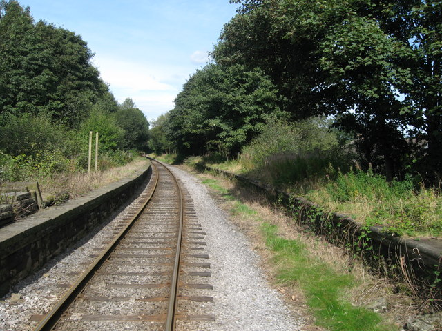
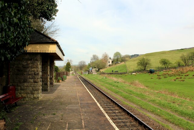
Stubbins railway station
Stubbins railway station served the village of Stubbins, Rossendale, Lancashire, England. Opened by the East Lancashire Railway in 1847 on their line...

Stubbins
Stubbins is an industrial village in the southern part of the Rossendale Valley, Lancashire, England. It is half a mile north of Ramsbottom town centre...

Irwell Vale
Irwell Vale is a village within the Rossendale borough of Lancashire, in North West England. which lies at the confluence of the River Ogden and River...
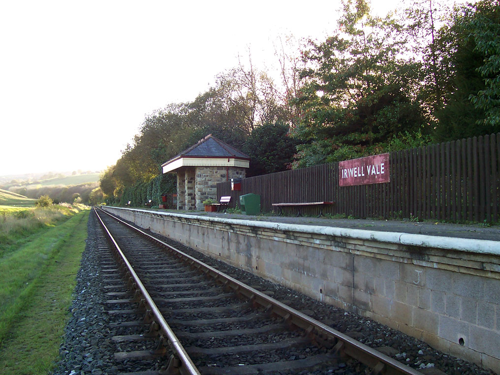
Irwell Vale railway station
Irwell Vale railway station is a station built as part of the East Lancashire Railway. It serves the small village of Irwell Vale in Rossendale, Lancashire...
Nearby Amenities
Located within 500m of 53.665577,-2.3167053Have you been to Strongstry?
Leave your review of Strongstry below (or comments, questions and feedback).