Chattern Hill

Settlement in Middlesex Spelthorne

England

Chattern Hill

On Anderson Drive
On Anderson Drive Credit: Dave Thompson

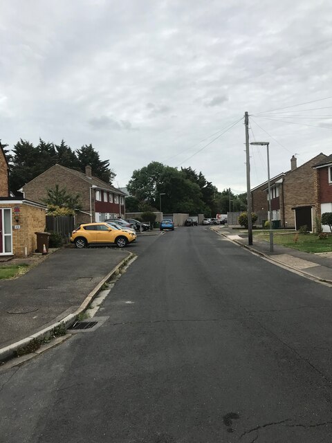
Chattern Hill is a picturesque village located in Middlesex, a county in the southeastern part of England. Nestled amidst rolling green hills and surrounded by quaint countryside, this charming village offers a peaceful and idyllic setting for its residents and visitors alike.

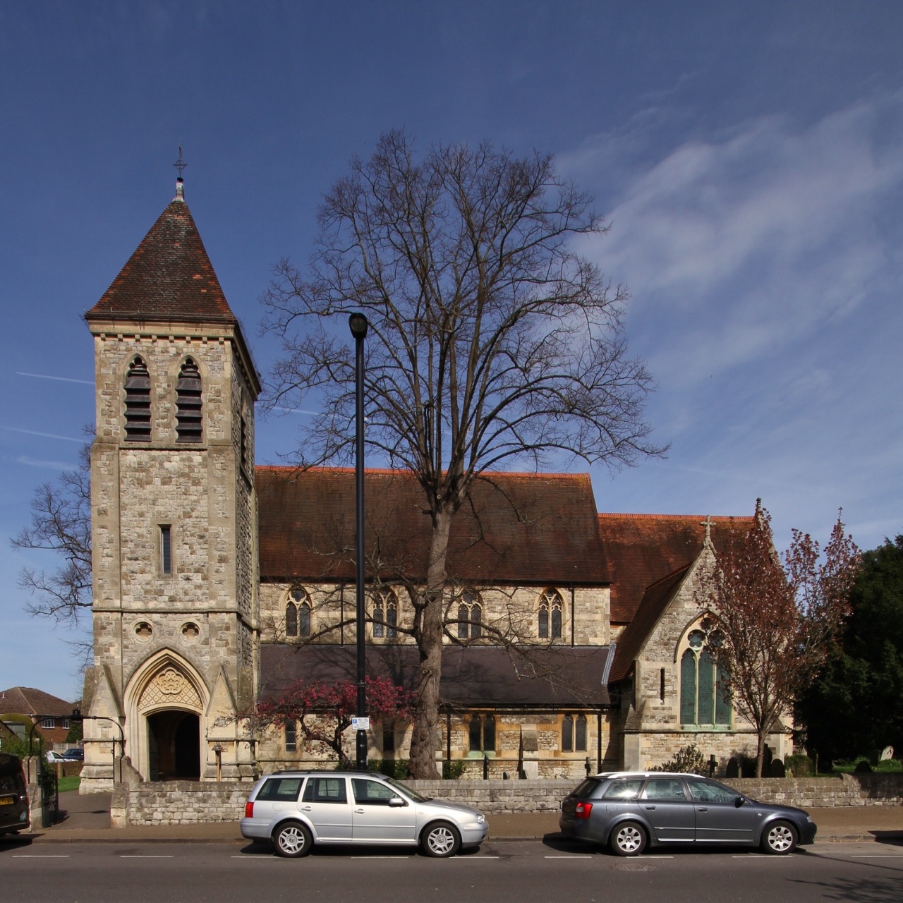
The village is known for its rich history, with origins dating back to medieval times. One of the notable landmarks in Chattern Hill is the St. Mary's Church, a beautiful historic church that stands proudly in the heart of the village. Its striking architecture and serene atmosphere make it a popular spot for both locals and tourists.

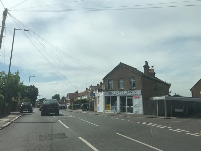
The village is also home to a vibrant community, with a range of amenities and facilities catering to the needs of its residents. Chattern Hill boasts a selection of local shops, cozy cafes, and traditional pubs, where visitors can enjoy a warm welcome and a taste of the local cuisine.

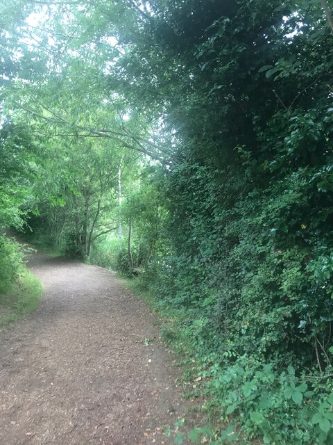
Nature enthusiasts will be delighted by the surrounding countryside, offering ample opportunities for leisurely walks, hiking, and exploring the scenic landscapes. The village is also close to several nature reserves and parks, allowing residents to easily connect with the great outdoors.

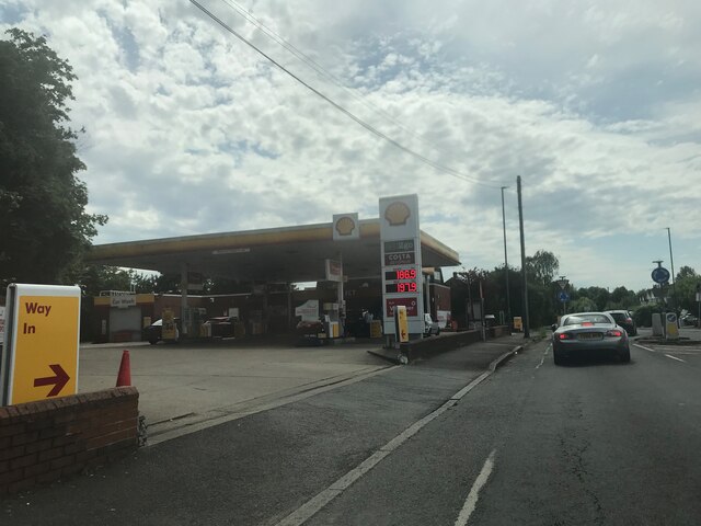
Transportation in Chattern Hill is well-connected, with regular bus services providing easy access to nearby towns and cities. The village is also conveniently located near major roadways, enabling residents to easily commute to larger urban areas if needed.

All in all, Chattern Hill is a delightful village that seamlessly blends history, natural beauty, and a close-knit community, making it an appealing destination for those seeking a tranquil and authentic English countryside experience.

If you have any feedback on the listing, please let us know in the comments section below.

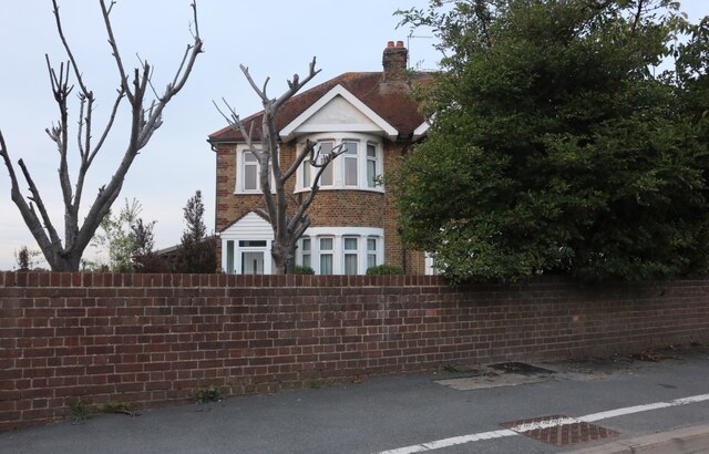
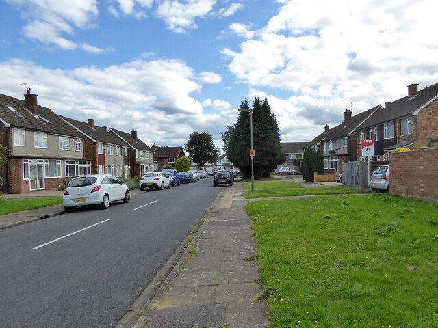
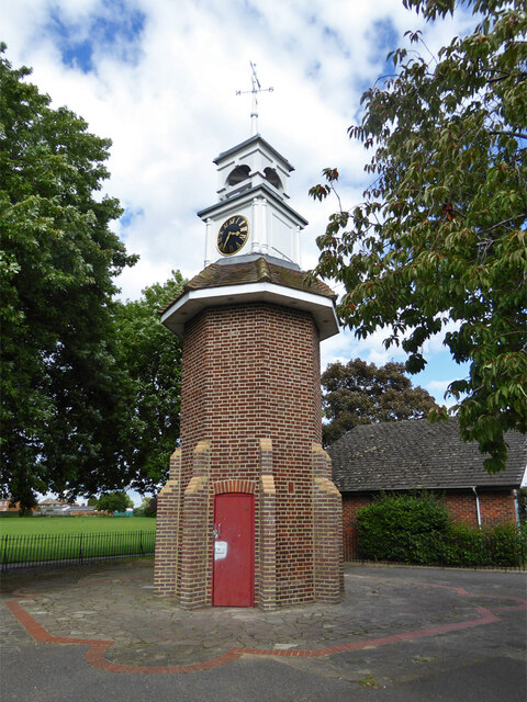
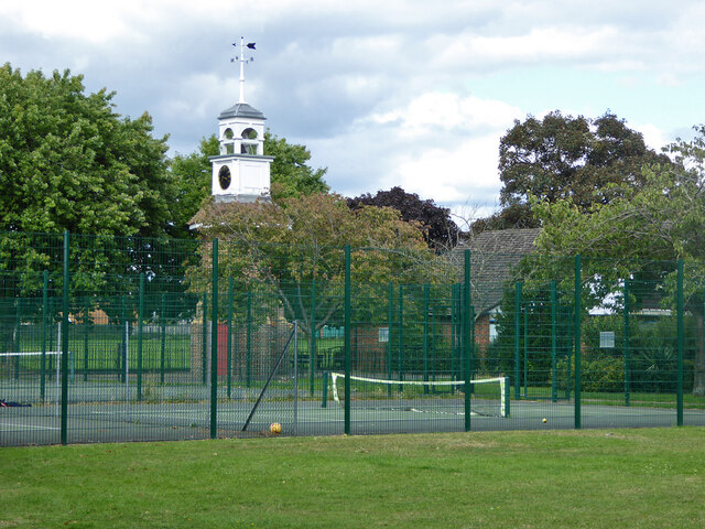
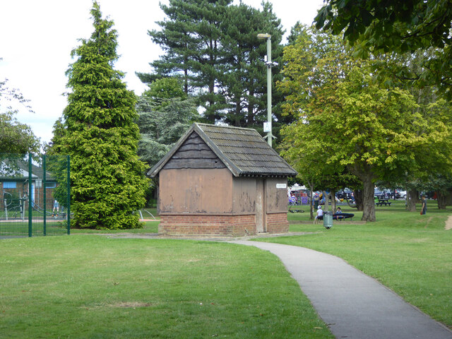
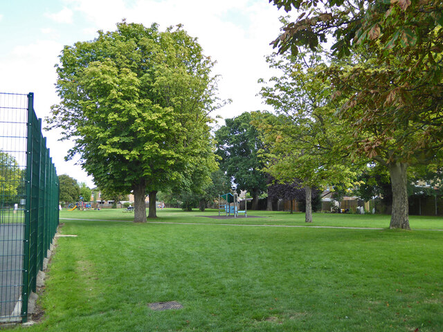
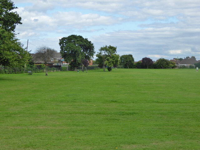
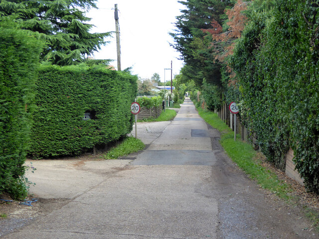
Chattern Hill Images

Images are sourced within 2km of 51.433972/-0.448431 or Grid Reference TQ0771. Thanks to Geograph Open Source API. All images are credited.

On Anderson Drive
On Anderson Drive
Path in Bedford Lakes Country Park
Smart Dry Cleaners - near Ashford
On the B377
On the B377
Shell fuel station
Shell fuel station
Approaching the A308
Ashford Road
Ashford Road
Ashford Road
Ashford Road
Ancaster Nissan, Heathrow This is a wider view <a title="https://www.geograph.org.uk/photo/4220398" href="https://www.geograph.org.uk/photo/4220398">Link</a>
Ancaster Nissan, Heathrow
This is a wider view Link
House on Staines Road, Bedfont This is a wider view <a title="https://www.geograph.org.uk/photo/4220398" href="https://www.geograph.org.uk/photo/4220398">Link</a>
House on Staines Road, Bedfont
This is a wider view Link
Postbox TW15 162D, School Road, Ashford A George V box, with attached drop box.
Postbox TW15 162D, School Road, Ashford
A George V box, with attached drop box.
Sundown Road, Ashford
Clock tower, Clockhouse Lane Park A surprising feature of a small park and recreation ground. A 1962 photograph reveals that this is the remaining core of an octagonal shelter or pavilion. Clockhouse Lane is named after Clock House, that was on the other side of the road, but now demolished. Was the clock, assuming there was one, transferred here?
Clock tower, Clockhouse Lane Park
A surprising feature of a small park and recreation ground. A 1962 photograph reveals that this is the remaining core of an octagonal shelter or pavilion. Clockhouse Lane is named after Clock House, that was on the other side of the road, but now demolished. Was the clock, assuming there was one, transferred here?
Clock tower and tennis courts, Clockhouse Lane Park A surprising feature of a small park and recreation ground. A 1962 photograph reveals that this is the remaining core of an octagonal shelter or pavilion. Clockhouse Lane is named after Clock House, that was on the other side of the road, but now demolished. Was the clock, assuming there was one, transferred here?
Clock tower and tennis courts, Clockhouse Lane Park
A surprising feature of a small park and recreation ground. A 1962 photograph reveals that this is the remaining core of an octagonal shelter or pavilion. Clockhouse Lane is named after Clock House, that was on the other side of the road, but now demolished. Was the clock, assuming there was one, transferred here?
Small building, Clockhouse Lane Park Of unknown purpose, which does not appear to have been recently exercised.
Small building, Clockhouse Lane Park
Of unknown purpose, which does not appear to have been recently exercised.
In Clockhouse Lane Park, Ashford
Clockhouse Lane Park, Ashford
Private road, Ashford Smallholdings Estate A Surrey County Council estate.
Private road, Ashford Smallholdings Estate
A Surrey County Council estate.
Show me another place!

Chattern Hill is located at Grid Ref: TQ0771 (Lat: 51.433972, Lng: -0.448431)

Administrative County: Surrey

District: Spelthorne

Police Authority: Surrey

What 3 Words

///tiny.float.tables. Near Ashford, Surrey

Nearby Locations

Chattern Hill

Related Wikis

Bedfont Lakes Country Park

Bedfont Lakes Country Park is a 72.5-hectare Local Nature Reserve and Site of Metropolitan Importance for Nature Conservation in Bedfont in the London...
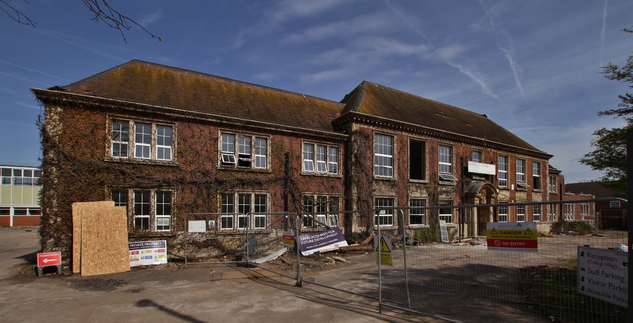
Spelthorne College

Spelthorne College was a single-campus sixth form college on Church Road, Ashford, Surrey, England. It was formed in 1975 as a successor to Ashford Sixth...

Ashford, Surrey

Ashford is a town in Surrey, England, 14 mi (23 km) west of central London. Its name derives from a crossing point of the River Ash, a distributary of...

HM Prison Feltham

Feltham Young Offenders Institution (more commonly known as HM Prison Feltham) is a prison for male juveniles and Young Offenders Institution, occupying...

Radio Feltham

Radio Feltham was the first prison radio station in Europe, operating in HM Prison Feltham, a male juvenile prison and Young Offenders Institution in west...

Ashford railway station (Surrey)

Ashford railway station serves the town of Ashford, Surrey, in the borough of Spelthorne in South East England. It is 17 miles 40 chains (28.2 km) down...

St David's School, Middlesex

St David's School was an independent girls' school in Ashford (historically in Middlesex, but from 1965 in the district of Spelthorne in Surrey), England...

Spelthorne Sports F.C.

Spelthorne Sports F.C. is a football club based in the borough of Spelthorne. They play in the Combined Counties League Premier Division South. == History... ==

Nearby Amenities

Located within 500m of 51.433972,-0.448431
Bus Stop
Anderson Drive
Bench: no
Naptan AtcoCode: 40004402101A
Naptan Bearing: E
Naptan CommonName: Anderson Drive
Naptan Indicator: Just Before
Naptan Landmark: Anderson Drive
Naptan NaptanCode: surdmtjm
Naptan Street: Feltham Road
Naptan Verified: no
Public Transport: platform
Ref: 54944
Shelter: no
Source: naptan_import
Tactile Paving: no
Lat/Long: 51.4330397/-0.4439137
Bus Stop
Anderson Drive
Bench: no
Naptan AtcoCode: 40004402101B
Naptan Bearing: W
Naptan CommonName: Anderson Drive
Naptan Indicator: Just after
Naptan Landmark: Anderson Drive
Naptan NaptanCode: surdmtmj
Naptan Street: Feltham Road
Naptan Verified: no
Public Transport: platform
Ref: 56614
Shelter: no
Source: naptan_import
Tactile Paving: no
Lat/Long: 51.432929/-0.4440594
Bus Stop
Chalmers Road East
Naptan AtcoCode: 40004402102A
Naptan Bearing: E
Naptan CommonName: Charles Court
Naptan Indicator: Opp
Naptan Landmark: Charles Court
Naptan NaptanCode: surdmtmp
Naptan Street: Feltham Road
Naptan Verified: no
Public Transport: platform
Ref: 58327
Source: naptan_import
Lat/Long: 51.4328932/-0.447223
Bus Stop
Chalmers Road East
Naptan AtcoCode: 40004402102B
Naptan Bearing: W
Naptan CommonName: Charles Court
Naptan Indicator: O/s
Naptan Landmark: Charles Court
Naptan NaptanCode: surdmwtj
Naptan Street: Feltham Road
Naptan Verified: no
Public Transport: platform
Ref: 75346
Source: naptan_import
Lat/Long: 51.432808/-0.446928
Bus Stop
Chattern Hill
Naptan AtcoCode: 40004402103A
Naptan Bearing: E
Naptan CommonName: Chattern Hill
Naptan Indicator: adj
Naptan Landmark: Chattern Hill
Naptan NaptanCode: surdmwtm
Naptan Street: Feltham Road
Naptan Verified: no
Public Transport: platform
Ref: 57189
Source: naptan_import
Lat/Long: 51.4327116/-0.4514403
Bus Stop
Chattern Hill
Naptan AtcoCode: 40004402103B
Naptan Bearing: W
Naptan CommonName: Chattern Hill
Naptan Indicator: Just Before
Naptan Landmark: Chattern Hill
Naptan NaptanCode: surdmwtp
Naptan Street: Feltham Road
Naptan Verified: no
Public Transport: platform
Ref: 72704
Source: naptan_import
Lat/Long: 51.4326398/-0.4507954
Bus Stop
Convent Road
Naptan AtcoCode: 40004402104A
Naptan Bearing: E
Naptan CommonName: Convent Road
Naptan Indicator: Just after
Naptan Landmark: Convent Road
Naptan NaptanCode: surdpadm
Naptan Street: Feltham Road
Naptan Verified: no
Public Transport: platform
Ref: 57225
Source: naptan_import
Lat/Long: 51.4326506/-0.4540542
Bus Stop
Convent Road
Naptan AtcoCode: 40004402104B
Naptan Bearing: W
Naptan CommonName: Convent Road
Naptan Indicator: Just Before
Naptan Landmark: Convent Road
Naptan NaptanCode: surdpadp
Naptan Street: Feltham Road
Naptan Verified: no
Public Transport: platform
Ref: 77457
Source: naptan_import
Lat/Long: 51.4325645/-0.454369
Crossing
Crossing: marked
Lat/Long: 51.4327956/-0.4481958
Source: Surrey aerial
Lat/Long: 51.4322124/-0.4427335
Turning Circle
Lat/Long: 51.4303892/-0.4458768
Turning Circle
Lat/Long: 51.4316382/-0.4508578
Turning Circle
Lat/Long: 51.4308729/-0.4514701
Turning Circle
Lat/Long: 51.4361718/-0.4516229
Turning Circle
Lat/Long: 51.4332148/-0.4494037
Ref GB Tflcid: RWG230723
Traffic Calming: hump
Lat/Long: 51.4348022/-0.4415402
Ref GB Tflcid: RWG230726
Traffic Calming: hump
Lat/Long: 51.4351344/-0.4451368
Access: private
Leisure: slipway
Lat/Long: 51.4365904/-0.4463216
Chattern Hill
Place: neighbourhood
Lat/Long: 51.4346579/-0.4496081
Noexit: yes
Lat/Long: 51.4362826/-0.447129
Barrier: height_restrictor
Maxheight: 2.1
Lat/Long: 51.4340395/-0.4516667
Bench
Backrest: yes
Seats: 4
Lat/Long: 51.4357193/-0.45393
Waste Basket
Lat/Long: 51.4354072/-0.4523594
Bench
Backrest: yes
Seats: 4
Lat/Long: 51.4355174/-0.4551602
Bench
Backrest: yes
Seats: 4
Lat/Long: 51.4352799/-0.4551841
Bench
Backrest: yes
Seats: 4
Lat/Long: 51.4349374/-0.4551873
Access: private
Leisure: slipway
Lat/Long: 51.4374123/-0.445753
Covered: yes
Leisure: picnic_table
Lat/Long: 51.4370503/-0.4432506
Bench
Lat/Long: 51.4363338/-0.4439912
Ref GB Tflcid: RWG230725
Traffic Calming: hump
Lat/Long: 51.4349596/-0.4446101
Ref GB Tflcid: RWG230724
Traffic Calming: hump
Lat/Long: 51.4348978/-0.4433537
The data included in this document is from www.openstreetmap.org. The data is made available under ODbL.

Have you been to Chattern Hill?

Leave your review of Chattern Hill below (or comments, questions and feedback).