Chattisham

Settlement in Suffolk Babergh

England

Chattisham

Hintlesham, St Nicholas
Hintlesham, St Nicholas Credit: Dave Kelly

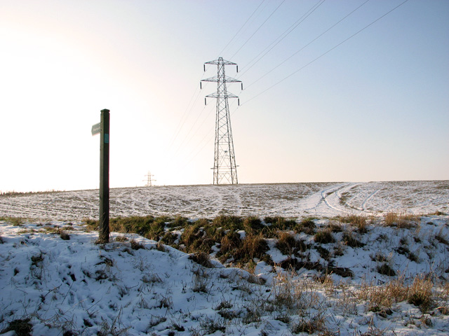
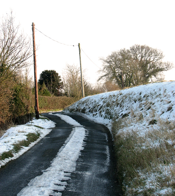
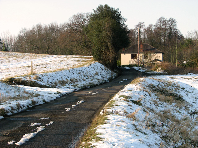
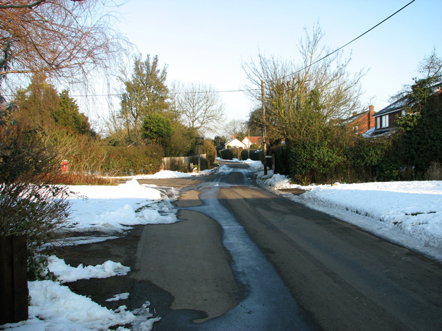
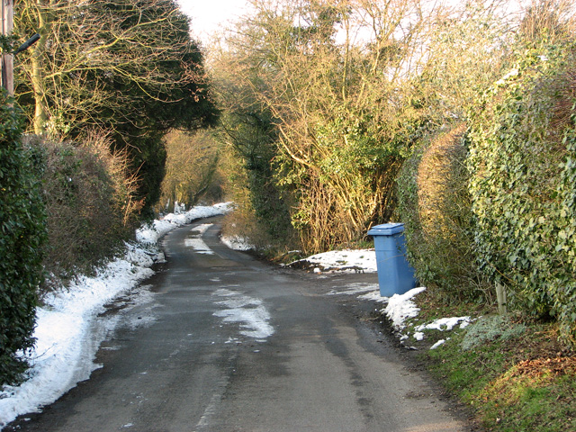
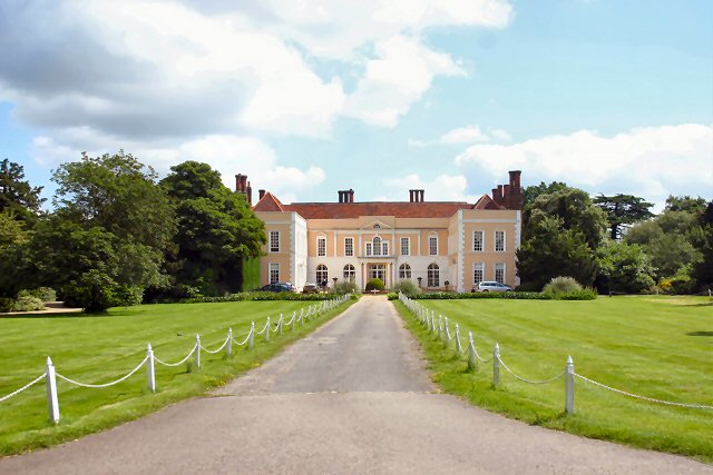
Chattisham is a small rural village located in the county of Suffolk, England. Situated about three miles southwest of Ipswich, the village is nestled in the picturesque countryside, surrounded by beautiful farmland and rolling hills. With a population of around 300 residents, Chattisham maintains a peaceful and close-knit community atmosphere.

The village boasts a rich history, dating back to the Roman era. Archaeological findings indicate that Chattisham was once a Roman settlement, evidenced by the discovery of pottery and other artifacts. Today, remnants of this ancient past can still be seen in the form of Roman roads and ditches.

Chattisham is primarily an agricultural community, with farming being the main industry. The fertile land and favorable climate make it ideal for crop cultivation and livestock rearing. As a result, the village is surrounded by expansive fields of crops, such as wheat, barley, and oilseed rape, providing a scenic backdrop for the countryside.

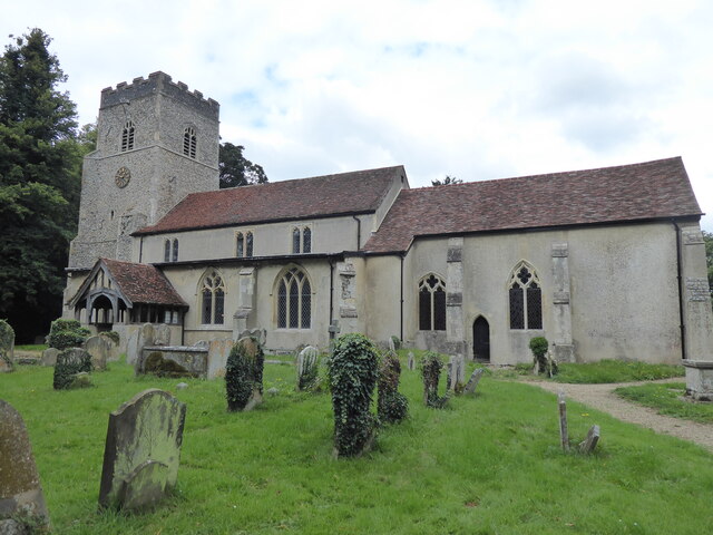
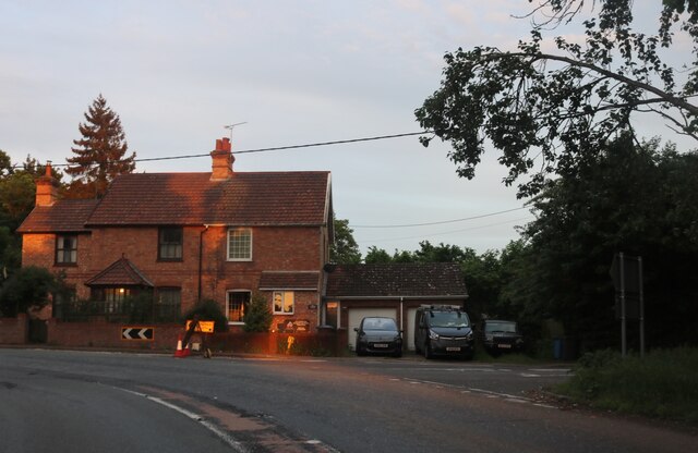
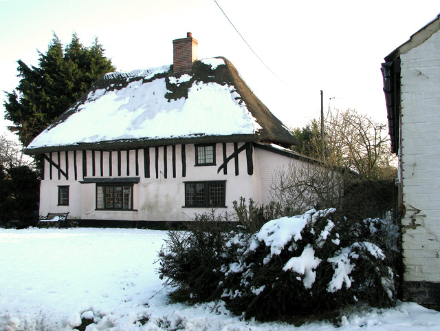
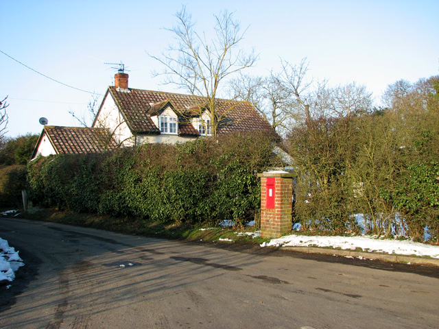
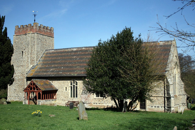
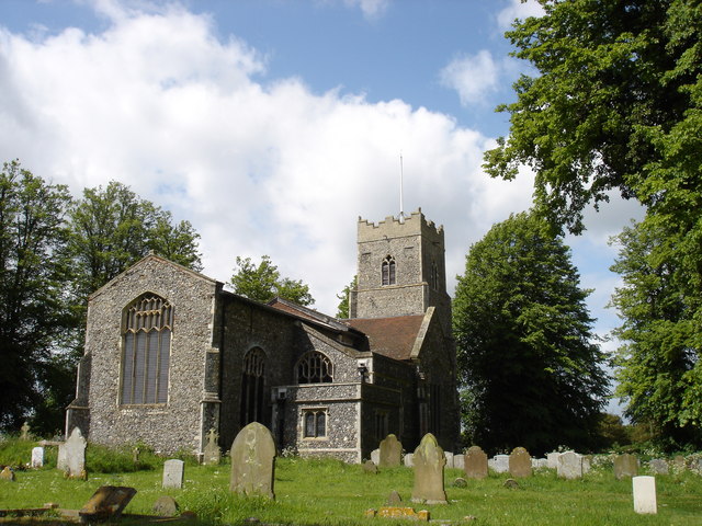
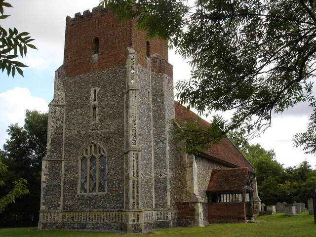
The village itself is characterized by charming cottages and traditional architecture, giving it a quintessentially English feel. A beautiful 13th-century church, St. Margaret's, stands proudly in the heart of the village, showcasing stunning medieval architecture and serving as a focal point for community gatherings and events.

Despite its small size, Chattisham offers a range of amenities to its residents. These include a village hall, a playground, and a local pub. The close proximity to Ipswich provides easy access to further amenities such as schools, shops, and healthcare facilities.

Overall, Chattisham is a tranquil and idyllic village that offers a peaceful countryside lifestyle, steeped in history and surrounded by natural beauty.

If you have any feedback on the listing, please let us know in the comments section below.
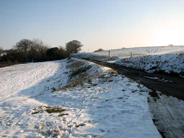
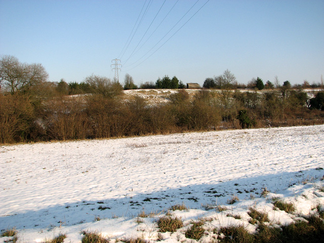
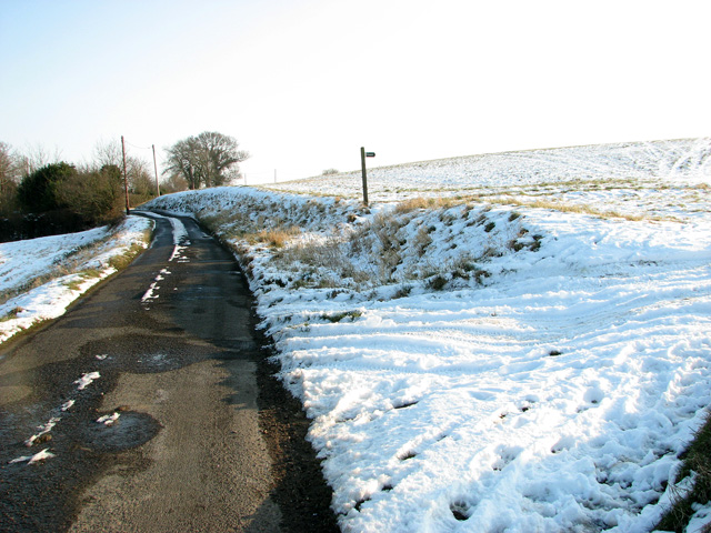
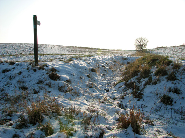
Chattisham Images

Images are sourced within 2km of 52.038198/1.045544 or Grid Reference TM0842. Thanks to Geograph Open Source API. All images are credited.

Hintlesham, St Nicholas
Bend on George Street, Hintlesham
Campaign Sign No more pylons sign campaign sign at Wood Farm near to Chattisham, Suffolk. For info on the campaign see <span class="nowrap"><a title="http://www.eadt.co.uk/news/fears_for_tourism_if_pylons_built_1_1071948" rel="nofollow ugc noopener" href="http://www.eadt.co.uk/news/fears_for_tourism_if_pylons_built_1_1071948">Link</a><img style="margin-left:2px;" alt="External link" title="External link - shift click to open in new window" src="https://s1.geograph.org.uk/img/external.png" width="10" height="10"/></span> for another protest sign <a title="https://www.geograph.org.uk/photo/2790367" href="https://www.geograph.org.uk/photo/2790367">Link</a>
Campaign Sign
No more pylons sign campaign sign at Wood Farm near to Chattisham, Suffolk. For info on the campaign see LinkExternal link for another protest sign Link
Wood Farm Wood Farm near to Chattisham, Suffolk note the campaign notice against more pylons being constructed for close up view see <a title="https://www.geograph.org.uk/photo/2790329" href="https://www.geograph.org.uk/photo/2790329">Link</a> and info on the campaign <span class="nowrap"><a title="http://www.eadt.co.uk/news/fears_for_tourism_if_pylons_built_1_1071948" rel="nofollow ugc noopener" href="http://www.eadt.co.uk/news/fears_for_tourism_if_pylons_built_1_1071948">Link</a><img style="margin-left:2px;" alt="External link" title="External link - shift click to open in new window" src="https://s1.geograph.org.uk/img/external.png" width="10" height="10"/></span>
Wood Farm
Wood Farm near to Chattisham, Suffolk note the campaign notice against more pylons being constructed for close up view see Link and info on the campaign LinkExternal link
Footpath Footpath and footpath sign near to Chattisham, Suffolk.
Footpath
Footpath and footpath sign near to Chattisham, Suffolk.
Sharp Bend Sharp bend on the A1071 near to Hintlesham, Suffolk.
Sharp Bend
Sharp bend on the A1071 near to Hintlesham, Suffolk.
Track to frozen pond near Hintlesham
Country lane to Chattisham
Snowy pastures east of Hintlesham
Snowy fields east of Hintlesham
Field boundary ditch east of Hintlesham
Electricity pylons in frozen field east of Hintlesham
Snowy country lane linking Hintlesham and Chattisham
This way to Hintlesham This country lane links the villages of Chattisham and Hintlesham. Water Run Cottages can be seen in the background (in adjacent grid square, just).
This way to Hintlesham
This country lane links the villages of Chattisham and Hintlesham. Water Run Cottages can be seen in the background (in adjacent grid square, just).
Attractive thatched cottage in Chattisham
The Street, Chattisham
Corner Farm, Chattisham
Rural lane to Hintlesham
Show me another place!

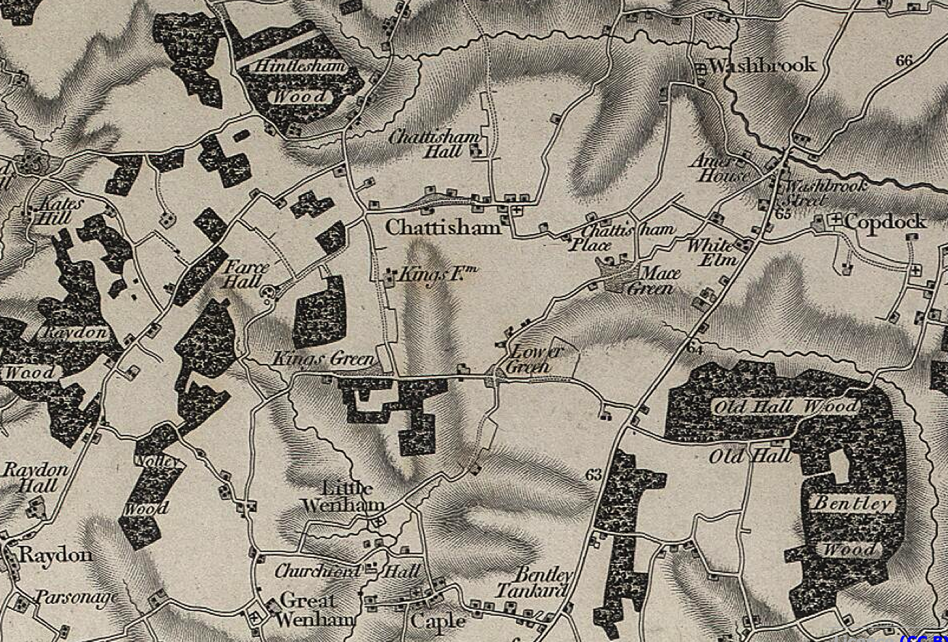
Chattisham is located at Grid Ref: TM0842 (Lat: 52.038198, Lng: 1.045544)

Administrative County: Suffolk

District: Babergh

Police Authority: Suffolk

What 3 Words

///lamplight.bluffing.stables. Near Capel St Mary, Suffolk

Nearby Locations

Chattisham

Related Wikis

Chattisham

Chattisham is a village and civil parish in Suffolk, England. Located around two miles west of Ipswich and half a mile south of the A1071, it is part of...

Hintlesham

Hintlesham is a small village in Suffolk, England, situated roughly halfway between Ipswich and Hadleigh. It is in the Belstead Brook electoral division...

Copdock and Washbrook

Copdock and Washbrook is a civil parish in the Babergh district in the county of Suffolk, England. It covers the villages of Copdock and Washbrook, as...

St Mary's Church, Washbrook

St Mary's Church is a redundant Anglican church in the village of Washbrook, Suffolk, England. It is recorded in the National Heritage List for England...

Burstall, Suffolk

Burstall is a village and civil parish in Suffolk, England. Located around 4 miles (6 km) west of Ipswich, it is part of Babergh district. The parish includes...

Copdock

Copdock is a village and former civil parish, now in the parish of Copdock and Washbrook, in the Babergh district, in the county of Suffolk, England. In...

Wenham Parva

Wenham Parva is a civil parish in Suffolk, England. It covers the village of Little Wenham (whose ancient name it takes) and the hamlet of Wenham Grange...

Old London Road

Old London Road is a cricket ground in Copdock, Suffolk. The first recorded match on the ground was in 1847, when the Gentlemen of Suffolk played the...

Nearby Amenities

Located within 500m of 52.038198,1.045544
Chattisham
Created By: Potlatch 0.10b
Place: village
Wikidata: Q2385212
Lat/Long: 52.0396224/1.0479608
Church
Local Ref: adj
Naptan AtcoCode: 390010614
Naptan Bearing: E
Naptan BusStopType: CUS
Naptan CommonName: Church
Naptan Landmark: Church
Naptan NaptanCode: sufagtjp
Naptan Street: The Street
Naptan Verified: no
Source: naptan_import
Lat/Long: 52.0386929/1.0486747
Church
Local Ref: opp
Naptan AtcoCode: 390010615
Naptan Bearing: W
Naptan BusStopType: CUS
Naptan CommonName: Church
Naptan Landmark: Church
Naptan NaptanCode: sufagtjt
Naptan Street: The Street
Naptan Verified: no
Source: naptan_import
Lat/Long: 52.0386514/1.0485406
Power: pole
Lat/Long: 52.034096/1.0436583
Power: pole
Lat/Long: 52.0398974/1.0402141
Power: pole
Lat/Long: 52.036614/1.0424349
Power: pole
Lat/Long: 52.0390328/1.0408524
Power: pole
Lat/Long: 52.0357428/1.0427836
Power: pole
Lat/Long: 52.0382904/1.0414372
Power: pole
Lat/Long: 52.0349244/1.0431001
Public Bookcase
Defibrillator
Booth: K6
Covered: booth
Defibrillator Location: Inside the old red telephone kiosk which is also used as the village bookcase. The Street, Chattisham
Defibrillator Operator: Aivia
Disused Amenity: telephone
Emergency: defibrillator
Indoor: no
Man Made: telephone_box
Public Bookcase Type: phone_box
Ref GB The Circuit: 49A47F06-EAAA-44B0-9915-AD57009A5EF0
Lat/Long: 52.0384929/1.046805
Post Box
Operator: Royal Mail
Post Box Mounting: brick_pillar
Post Box Type: wall
Ref: IP8 1094
Royal Cypher: VR
Lat/Long: 52.0383756/1.045511
Chattisham Village Sign
Man Made: village_sign
Tourism: artwork
Lat/Long: 52.0383092/1.0456806
Bench
Backrest: yes
Lat/Long: 52.038308/1.0456535
The data included in this document is from www.openstreetmap.org. The data is made available under ODbL.

Have you been to Chattisham?

Leave your review of Chattisham below (or comments, questions and feedback).