Chatburn
Settlement in Lancashire Ribble Valley
England
Chatburn

Chatburn is a picturesque village located in the Ribble Valley district of Lancashire, England. Situated between the Forest of Bowland Area of Outstanding Natural Beauty and the bustling market town of Clitheroe, Chatburn offers residents and visitors alike a tranquil and idyllic setting.
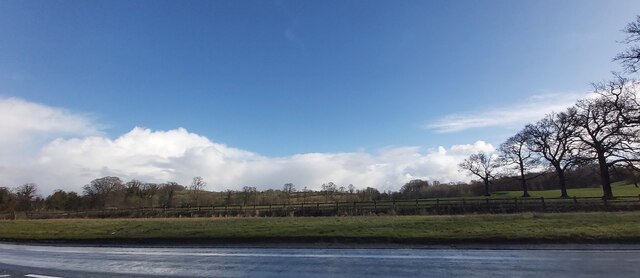
The village is characterized by its charming stone cottages, well-manicured gardens, and narrow winding streets. It is surrounded by lush green countryside, with rolling hills and meandering rivers adding to its natural beauty. Chatburn is also known for its close proximity to the River Ribble, which flows just a short distance away.
Despite its small size, Chatburn has a strong sense of community and offers a range of amenities for its residents. These include a village hall, a primary school, a post office, and a convenience store. The village also boasts several traditional pubs, which serve as popular social hubs for locals and visitors to gather and enjoy a drink or a meal.
For those seeking outdoor activities, Chatburn is a fantastic destination. The nearby Forest of Bowland provides ample opportunities for walking, cycling, and wildlife spotting. Additionally, the village is located close to the popular tourist attractions of the Ribble Valley, including Clitheroe Castle and Pendle Hill.
With its charming ambiance and stunning natural surroundings, Chatburn is a hidden gem within Lancashire. Whether you are looking for a peaceful retreat or an outdoor adventure, this village offers a warm welcome and a taste of rural English life.
If you have any feedback on the listing, please let us know in the comments section below.
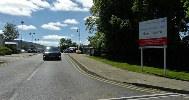
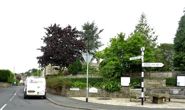
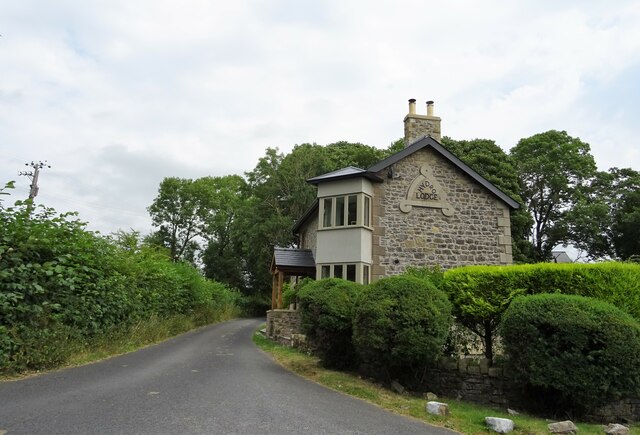
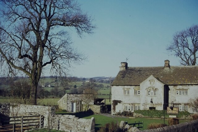
Chatburn Images
Images are sourced within 2km of 53.892438/-2.354325 or Grid Reference SD7644. Thanks to Geograph Open Source API. All images are credited.


Chatburn is located at Grid Ref: SD7644 (Lat: 53.892438, Lng: -2.354325)
Administrative County: Lancashire
District: Ribble Valley
Police Authority: Lancashire
What 3 Words
///dusty.bordering.surfer. Near Chatburn, Lancashire
Nearby Locations
Related Wikis

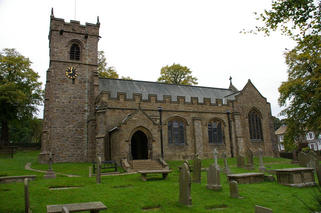
Christ Church, Chatburn
Christ Church is in the village of Chatburn, Lancashire, England. It is an active Anglican parish church in the deanery of Whalley, the archdeaconry of...

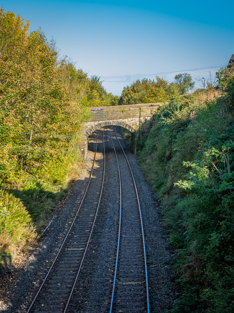
Chatburn railway station
Chatburn railway station once served the small village of Chatburn in Lancashire, England. == History == The original single line opened in June 1850 and...

Chatburn
Chatburn is a village, civil parish and electoral ward in the Ribble Valley, East Lancashire, England. The population of the civil parish at the 2011 census...

Worston
Worston is a small linear village and civil parish in Lancashire, England. The village is north-west of Pendle Hill, east of Clitheroe, and is in the Ribble...
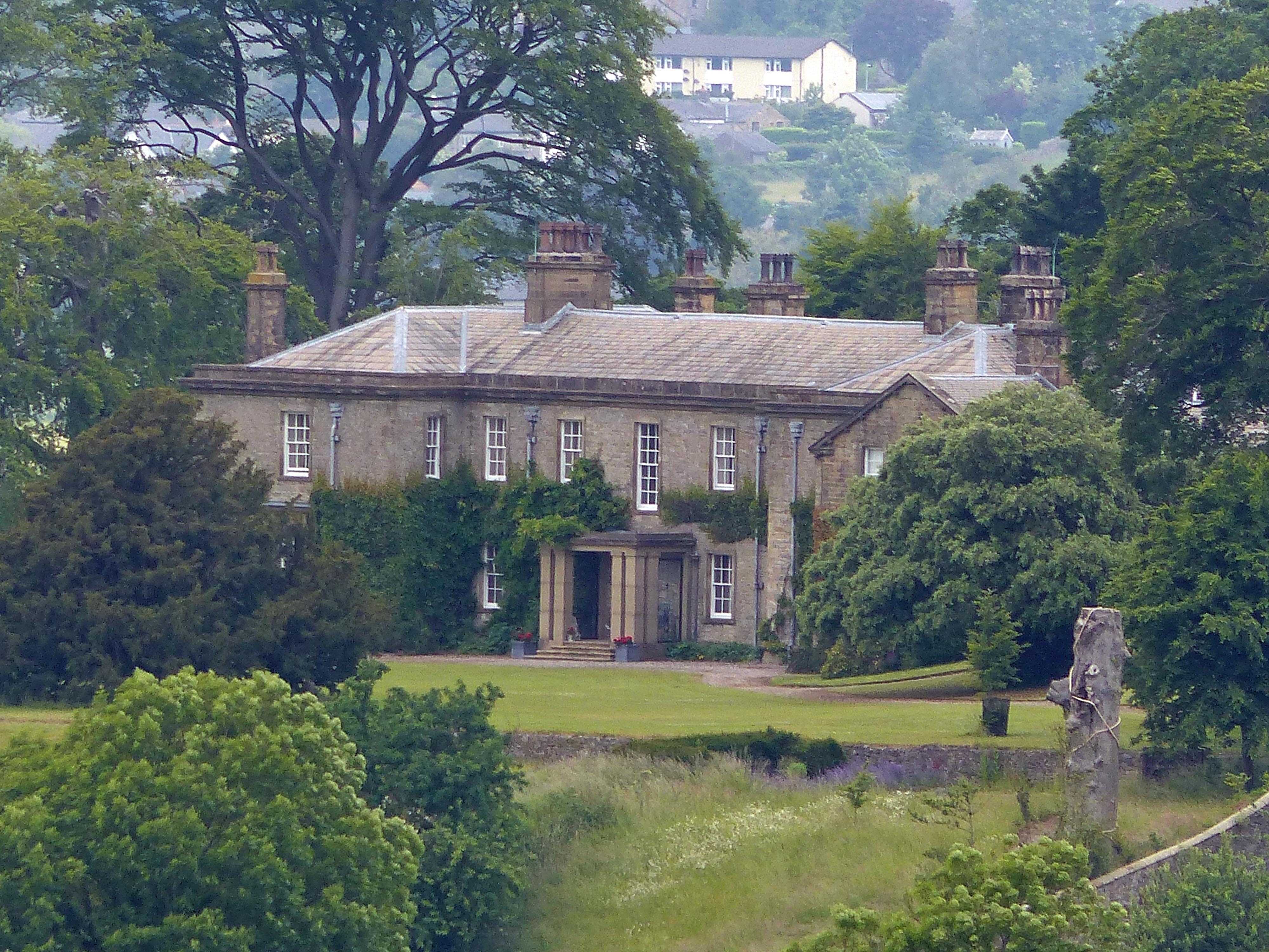
Downham Hall
Downham Hall is an English country house in Downham, Lancashire, England. == Overview == Downham Hall was designed by George Webster (1797–1864) in 1835...
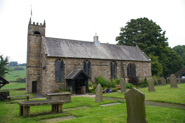
St Leonard's Church, Downham
St Leonard's Church is in the village of Downham, Lancashire, England. It is an active Anglican parish church in the diocese of Blackburn. The tower...
St Ambrose's Church, Grindleton
St Ambrose's Church is in the village of Grindleton, which is situated about 3 miles (5 km) northeast of Clitheroe, Lancashire, England. It is an active...

Grindleton
Grindleton is a village and civil parish in the Ribble Valley district of the English county of Lancashire, formerly in the West Riding of Yorkshire. Its...
Nearby Amenities
Located within 500m of 53.892438,-2.354325Have you been to Chatburn?
Leave your review of Chatburn below (or comments, questions and feedback).