Chat Hill
Settlement in Yorkshire
England
Chat Hill
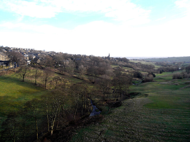
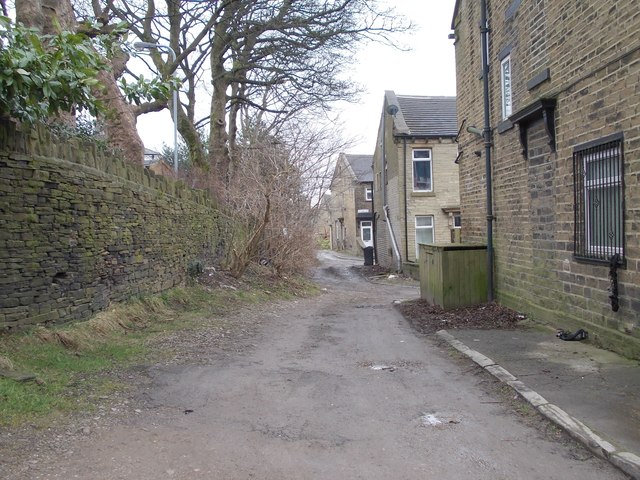
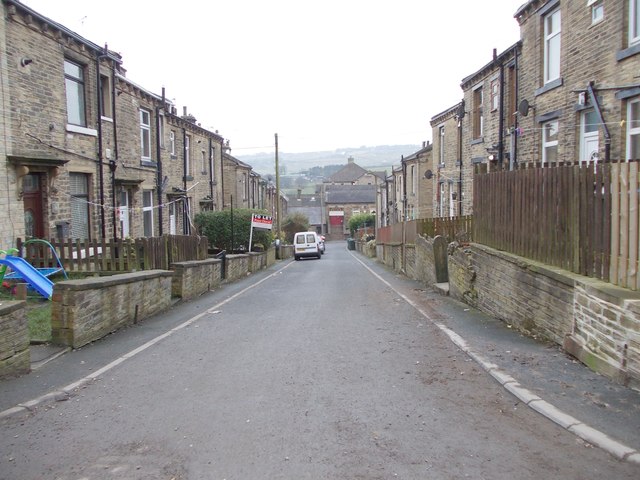
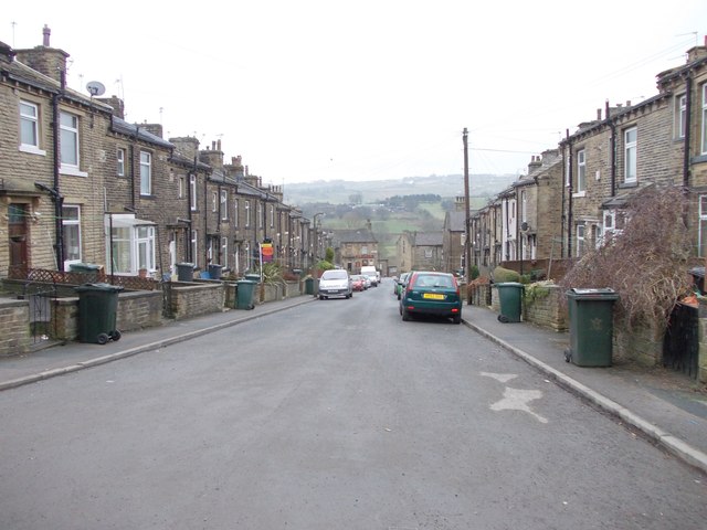
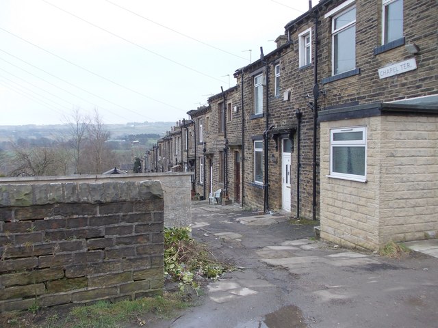
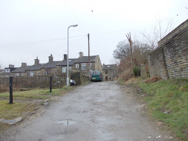
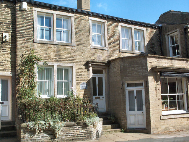
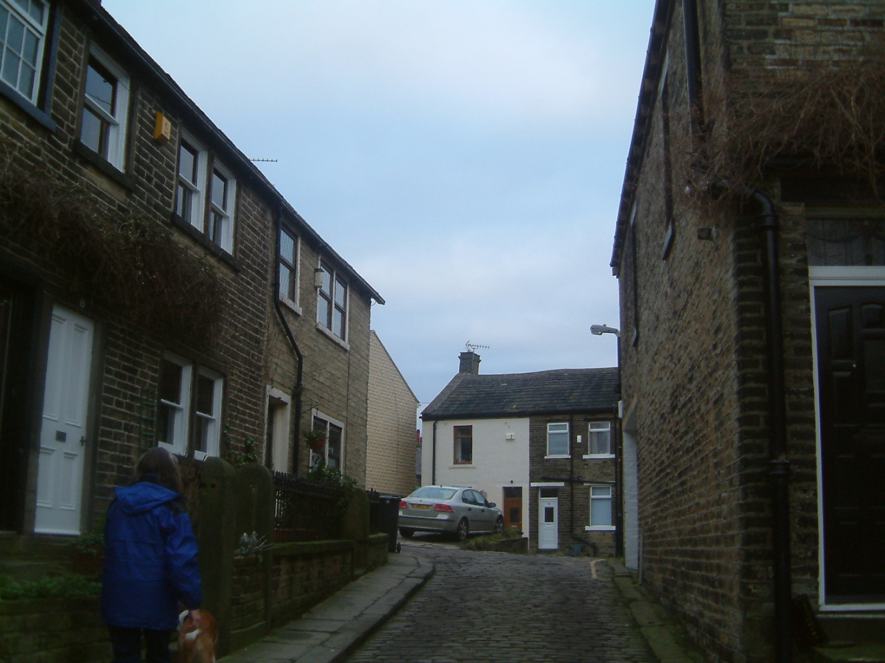
Chat Hill is a small village located in the picturesque region of Yorkshire, England. Situated in the heart of the countryside, its tranquil setting and charming atmosphere make it a popular destination for those seeking a peaceful retreat. The village is nestled at the foot of rolling hills, providing breathtaking views of the surrounding landscape.
With a population of around 500 residents, the community in Chat Hill is tight-knit and welcoming. The village is characterized by its traditional stone-built houses, which add to its quaint charm. The local church, St. Mary's, is a prominent landmark, dating back several centuries and showcasing stunning architectural features.
Despite its small size, Chat Hill offers a range of amenities to residents and visitors alike. There are a handful of local shops and a cozy pub where one can enjoy a pint of local ale or indulge in traditional British cuisine. The village also boasts peaceful walking paths and scenic trails, perfect for leisurely strolls or more adventurous hikes.
Chat Hill's location in Yorkshire provides easy access to some of the region's most notable attractions. Nearby, visitors can explore the vibrant market town of Harrogate, renowned for its spa heritage and beautiful gardens. The historic city of York is also within reach, offering a wealth of cultural and historical landmarks.
In conclusion, Chat Hill is a charming village in the heart of Yorkshire, offering a peaceful retreat and a close-knit community. Its idyllic setting and convenient proximity to larger towns and cities make it an ideal destination for those seeking a slice of rural tranquility.
If you have any feedback on the listing, please let us know in the comments section below.
Chat Hill Images
Images are sourced within 2km of 53.78421/-1.8345357 or Grid Reference SE1132. Thanks to Geograph Open Source API. All images are credited.

Chat Hill is located at Grid Ref: SE1132 (Lat: 53.78421, Lng: -1.8345357)
Division: West Riding
Unitary Authority: Bradford
Police Authority: West Yorkshire
What 3 Words
///basic.bunch.risk. Near Clayton, West Yorkshire
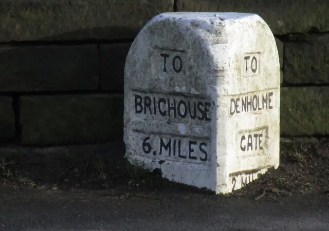
Nearby Locations
Related Wikis

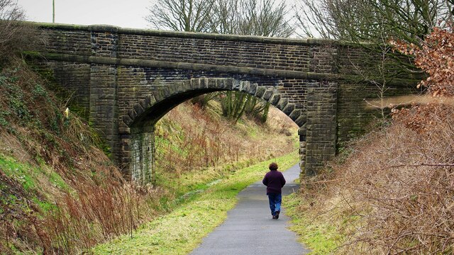
Queensbury railway station
Queensbury railway station was a station on the Queensbury lines serving the village of Queensbury, West Yorkshire, England. The station was unusual due...
Brontë Birthplace
The Brontë Birthplace is a house in Thornton, West Yorkshire, England, where writers Anne, Charlotte and Emily Brontë, and their brother Branwell, were...

Beckfoot Thornton
Beckfoot Thornton (Thornton Grammar School until 2016) is a mixed secondary school and sixth form located in Thornton, West Yorkshire, England.It is an...
Thornton, West Yorkshire
Thornton is a village and former civil parish, within the metropolitan borough of the City of Bradford, in West Yorkshire, England. It lies 6 miles (9...

Clayton railway station (England)
Clayton railway station was on the Great Northern Railway lines to Bradford, Keighley and Halifax via Queensbury, collectively known as the Queensbury...
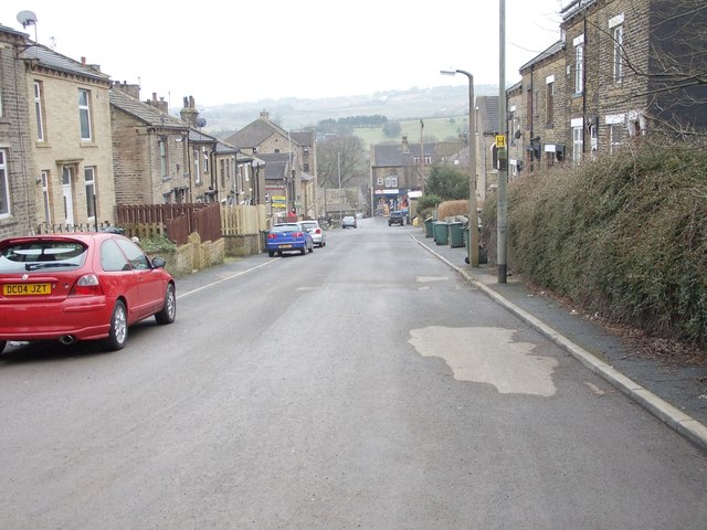
Clayton, West Yorkshire
Clayton, or Clayton Village, is a civil parish in the City of Bradford metropolitan borough in West Yorkshire, England, situated 3 miles (4.8 km) to the...

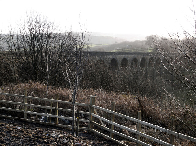
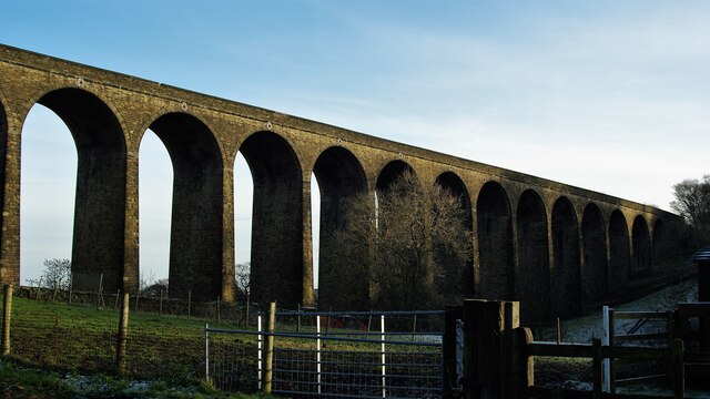
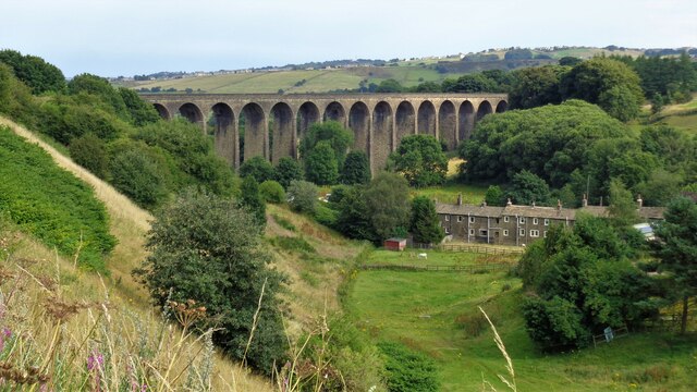
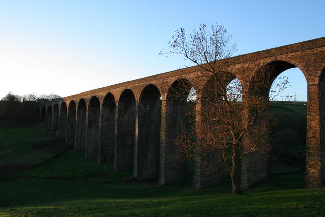
Thornton Viaduct
Thornton Viaduct is a disused railway viaduct crossing Pinch Beck valley at Thornton, in the City of Bradford, West Yorkshire, England. It is 300 yards...

Thornton View Hospital
Thornton View hospital was an 82-bed geriatric hospital near Clayton, West Yorkshire, on the site of the North Bierley Union workhouse. == History == The...
Nearby Amenities
Located within 500m of 53.78421,-1.8345357Have you been to Chat Hill?
Leave your review of Chat Hill below (or comments, questions and feedback).