Chatcull

Settlement in Staffordshire Stafford

England

Chatcull

Narrow Lane heading towards Newhouse Farm The lanes round here don't seem to get much wider, but at least they are not getting narrower. They must be rough when there is snow about.
Narrow Lane heading towards Newhouse Farm Credit: Mick Malpass

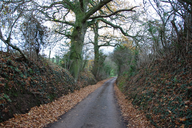
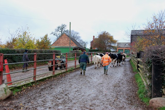
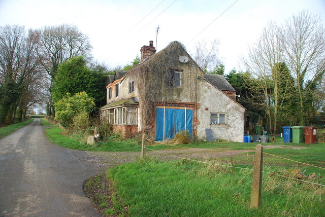
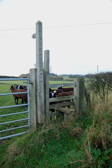
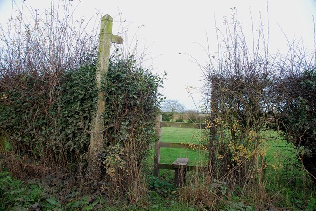
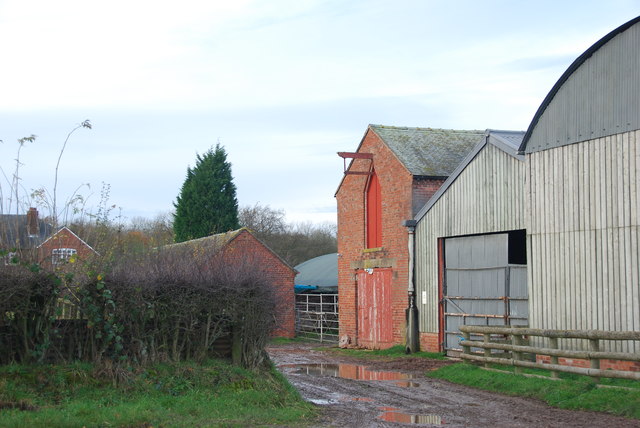
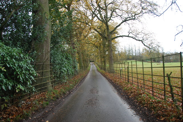
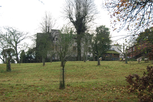
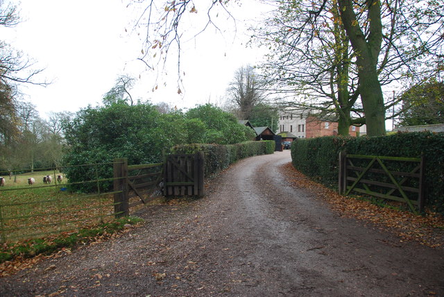
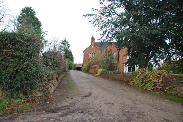
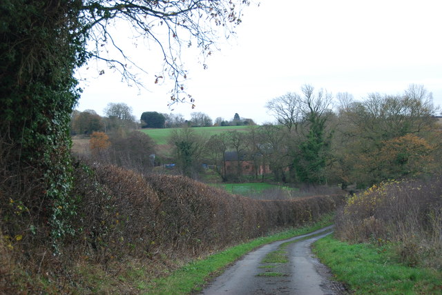
Chatcull is a small village located in the county of Staffordshire, England. Situated near the town of Eccleshall, it is nestled in the beautiful countryside of the West Midlands region. The village is surrounded by picturesque landscapes, including rolling hills, farmland, and quaint cottages, offering residents and visitors a peaceful and idyllic setting.

Although Chatcull is relatively small in size, it boasts a strong sense of community and a rich history. The village is home to a close-knit population, where residents often engage in local events and activities. The Parish Church of St James, a prominent landmark, stands as a testament to the village's historical significance and serves as a gathering place for religious events.

The village benefits from its proximity to Eccleshall, which offers a wider range of amenities including shops, restaurants, and schools. The nearby countryside also provides opportunities for outdoor activities such as hiking, cycling, and horse riding.

Chatcull's rural charm, combined with its convenient location near larger towns, makes it an attractive place to live for those seeking a peaceful and close community. Its tranquil surroundings and friendly atmosphere create a welcoming environment for both residents and visitors alike. Whether exploring the countryside or participating in local events, Chatcull offers a pleasant and enriching experience for all who visit this charming Staffordshire village.

If you have any feedback on the listing, please let us know in the comments section below.

Chatcull Images

Images are sourced within 2km of 52.907516/-2.306268 or Grid Reference SJ7934. Thanks to Geograph Open Source API. All images are credited.

Narrow Lane heading towards Newhouse Farm The lanes round here don't seem to get much wider, but at least they are not getting narrower. They must be rough when there is snow about.
Narrow Lane heading towards Newhouse Farm
The lanes round here don't seem to get much wider, but at least they are not getting narrower. They must be rough when there is snow about.
Cattle Drive English Style at Newhouse Farm These young cattle were being brought back to the farm, from a field down the lane.
Cattle Drive English Style at Newhouse Farm
These young cattle were being brought back to the farm, from a field down the lane.
Derelict house on the road to Chatcull I wonder what stories this house has to tell.
Derelict house on the road to Chatcull
I wonder what stories this house has to tell.
Crossroads near Chatcull
Bridge over a small stream near Whittington
Red brick barn at Brooklyn Farm
Stile and footpath with rare breed sheep A rare breed of small black and white sheep called Balwen, looking like Border Collies. They are marked with a white stripe on the head (hence the name), have four white feet and long tails with a white tip.     see link  <span class="nowrap"><a title="http://lifeasahuman.com/2010/humor/a-rare-breed-of-sheep-and-civil-servants/" rel="nofollow ugc noopener" href="http://lifeasahuman.com/2010/humor/a-rare-breed-of-sheep-and-civil-servants/">Link</a><img style="margin-left:2px;" alt="External link" title="External link - shift click to open in new window" src="https://s1.geograph.org.uk/img/external.png" width="10" height="10"/></span>
Stile and footpath with rare breed sheep
A rare breed of small black and white sheep called Balwen, looking like Border Collies. They are marked with a white stripe on the head (hence the name), have four white feet and long tails with a white tip. see link LinkExternal link
Stile and footpath to Chatcull
Entrance to Charnes Old Hall farm
Road through Charnes estate This road with its metal fences and avenue of trees, gives the impression that there is large estate nearby.   see link  <span class="nowrap"><a title="http://www.britishlistedbuildings.co.uk/en-272232-charnes-hall-eccleshall" rel="nofollow ugc noopener" href="http://www.britishlistedbuildings.co.uk/en-272232-charnes-hall-eccleshall">Link</a><img style="margin-left:2px;" alt="External link" title="External link - shift click to open in new window" src="https://s1.geograph.org.uk/img/external.png" width="10" height="10"/></span>
Road through Charnes estate
This road with its metal fences and avenue of trees, gives the impression that there is large estate nearby. see link LinkExternal link
Charnes Hall, Eccleshall It is a pity that this old hall is partly covered by trees.  see link  <span class="nowrap"><a title="http://www.britishlistedbuildings.co.uk/en-272232-charnes-hall-eccleshall" rel="nofollow ugc noopener" href="http://www.britishlistedbuildings.co.uk/en-272232-charnes-hall-eccleshall">Link</a><img style="margin-left:2px;" alt="External link" title="External link - shift click to open in new window" src="https://s1.geograph.org.uk/img/external.png" width="10" height="10"/></span>
Charnes Hall, Eccleshall
It is a pity that this old hall is partly covered by trees. see link LinkExternal link
The driveway to Charnes Hall
Looking back to a road junction near the Ashley Road Plantation
Narrow roadway leading to Bromley Mill Farm
Roadway past Bromley Mill Farm I can't find any information about this mill, and mill pool, which is out of sight on the left of picture.
Roadway past Bromley Mill Farm
I can't find any information about this mill, and mill pool, which is out of sight on the left of picture.
Entrance drive to Bromley Mill Farm House
Looking down towards the Bromley Brook Ford
Bromley Brook Ford between Podmore and Chatcull Do not be fooled by this ford, it is a lot deeper than it looks.
Bromley Brook Ford between Podmore and Chatcull
Do not be fooled by this ford, it is a lot deeper than it looks.
Show me another place!

Chatcull is located at Grid Ref: SJ7934 (Lat: 52.907516, Lng: -2.306268)

Administrative County: Staffordshire

District: Stafford

Police Authority: Staffordshire

What 3 Words

///expand.money.ringers. Near Standon, Staffordshire

Nearby Locations

Chatcull Chatcull Green

Related Wikis

Standon, Staffordshire

Standon is a village and civil parish in the Stafford district, in the county of Staffordshire, England. Standon has a church called Church of All Saints...

Bowers, Staffordshire

Bowers is a village in Staffordshire, England. For population details as taken in the 2011 census see Standon.

Croxton, Staffordshire

Croxton is a village on the B5026 between Eccleshall and Loggerheads. Population details for the 2011 census can be found under Eccleshall. It is notable...

Coombesdale

Coombesdale is a small settlement in Staffordshire, England. It is near the A51 road and is 6 kilometres (4 mi) southwest of the city of Stoke-on-Trent...

Nearby Amenities

Located within 500m of 52.907516,-2.306268
Bus Stop
Old Hall Farm
Bus: yes
Naptan AtcoCode: 3800C701400
Naptan Bearing: E
Naptan CommonName: Old Hall Farm
Naptan Indicator: Adj
Naptan Landmark: Old Hall Farm
Naptan Street: Chatcull Lane
Naptan Verified: no
Public Transport: platform
Source: naptan_import
Lat/Long: 52.9085419/-2.3053734
Power: tower
Source: Bing
Lat/Long: 52.9105947/-2.3059587
Power: tower
Source: Bing
Lat/Long: 52.9092306/-2.308137
Power: tower
Source: Bing
Lat/Long: 52.9074059/-2.3102498
Power: tower
Source: Bing
Lat/Long: 52.9058355/-2.3120572
Addr Housename: Chatcull Hall
Lat/Long: 52.9083594/-2.3066777
Chatcull
Place: hamlet
Lat/Long: 52.9087973/-2.3039067
Power: pole
Lat/Long: 52.90893/-2.2993754
Power: pole
Lat/Long: 52.9092496/-2.301147
Power: pole
Lat/Long: 52.9086376/-2.299218
Power: pole
Lat/Long: 52.9080599/-2.2998531
Power: pole
Lat/Long: 52.9095304/-2.3027931
Line Management: transition
Power: pole
Lat/Long: 52.9098233/-2.3044253
Line Management: transition
Power: pole
Lat/Long: 52.909807/-2.3118938
Power: pole
Lat/Long: 52.909377/-2.3125986
Power: pole
Lat/Long: 52.9069572/-2.3010345
Power: pole
Lat/Long: 52.9065143/-2.3025707
Power: pole
Lat/Long: 52.9056434/-2.3056678
Power: pole
Lat/Long: 52.9060974/-2.3040535
Power: pole
Lat/Long: 52.9050986/-2.3075543
Power: pole
Lat/Long: 52.904589/-2.3093732
Power: pole
Lat/Long: 52.9046316/-2.3074068
Power: pole
Lat/Long: 52.9039663/-2.3071948
Power: pole
Lat/Long: 52.9032065/-2.3069336
Power: pole
Lat/Long: 52.9059899/-2.3078922
Power: pole
Lat/Long: 52.9065273/-2.3080735
The data included in this document is from www.openstreetmap.org. The data is made available under ODbL.

Have you been to Chatcull?

Leave your review of Chatcull below (or comments, questions and feedback).