Bean Hill
Hill, Mountain in Lancashire Ribble Valley
England
Bean Hill

Bean Hill is a prominent hill located in Lancashire, England. Situated in the southwest part of the county, it forms part of the West Pennine Moors, a designated Area of Outstanding Natural Beauty. Rising to an elevation of approximately 307 meters (1,007 feet), Bean Hill stands as one of the highest points in Lancashire.
This hill is characterized by its distinct conical shape, covered in lush grass and heather, which provides a picturesque view from the surrounding areas. The summit offers breathtaking panoramic vistas, allowing visitors to appreciate the stunning landscape of Lancashire and the neighboring counties.
Bean Hill is a popular destination for outdoor enthusiasts, attracting hikers, walkers, and nature lovers. Numerous footpaths and trails crisscross the hill, providing opportunities for exploration and adventure. The surrounding area boasts an abundance of wildlife, including birds, small mammals, and even the occasional deer.
The hill's location within the West Pennine Moors offers a diverse range of plant species, adding to its natural beauty. In the spring and summer months, the hillside is adorned with vibrant wildflowers, creating a colorful spectacle.
Bean Hill also holds historical significance, with evidence of ancient settlements and burial mounds found in the vicinity. It is a place where visitors can connect with Lancashire's rich history and heritage.
Overall, Bean Hill in Lancashire is a captivating natural landmark, offering stunning views, outdoor recreation opportunities, and a glimpse into the region's past. It stands as a testament to the beauty and diversity of the Lancashire countryside.
If you have any feedback on the listing, please let us know in the comments section below.
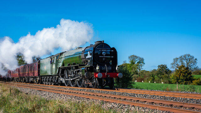
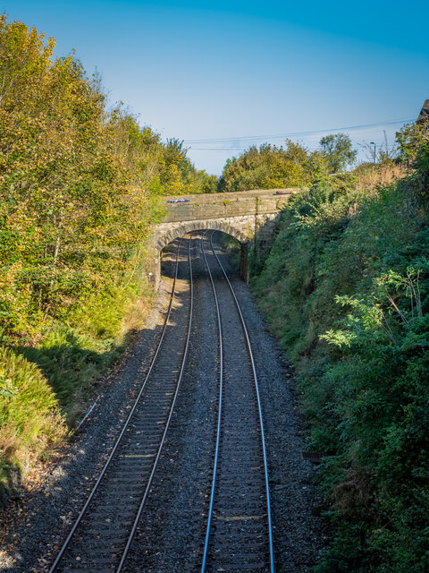
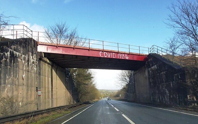
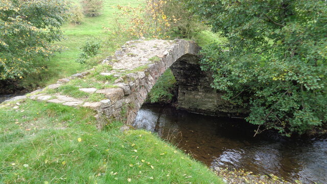
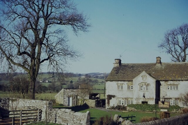
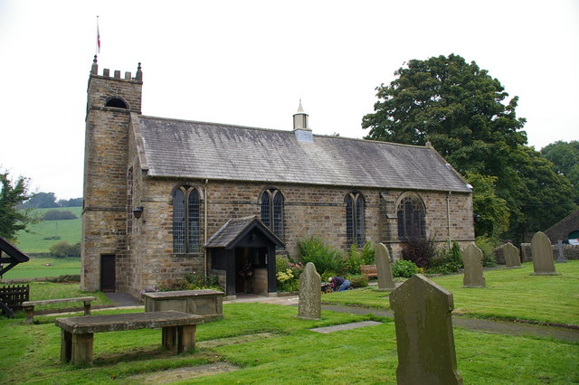
Bean Hill Images
Images are sourced within 2km of 53.897642/-2.3569452 or Grid Reference SD7644. Thanks to Geograph Open Source API. All images are credited.
![Sawley village and abbey [4] The ruins of some of the monk's accommodation.
Sawley is a small village on the banks of the River Ribble, some 3½ miles northeast of Clitheroe. The village is dominated by the ruins of the Cistercian abbey founded in 1148. The abbey was dissolved in 1536 and mostly demolished, the stone taken and reused in neighbouring farms and cottages. The ruins are now in the care of English Heritage. The abbey remains are listed, grade I, with details at: <span class="nowrap"><a title="https://historicengland.org.uk/listing/the-list/list-entry/1072099" rel="nofollow ugc noopener" href="https://historicengland.org.uk/listing/the-list/list-entry/1072099">Link</a><img style="margin-left:2px;" alt="External link" title="External link - shift click to open in new window" src="https://s1.geograph.org.uk/img/external.png" width="10" height="10"/></span> The site is a Scheduled Ancient Monument with much detail at: <span class="nowrap"><a title="https://historicengland.org.uk/listing/the-list/list-entry/1015492" rel="nofollow ugc noopener" href="https://historicengland.org.uk/listing/the-list/list-entry/1015492">Link</a><img style="margin-left:2px;" alt="External link" title="External link - shift click to open in new window" src="https://s1.geograph.org.uk/img/external.png" width="10" height="10"/></span>](https://s0.geograph.org.uk/geophotos/07/02/65/7026516_b62c5d29.jpg)
![Sawley village and abbey [8] This delightful former school, which closed in 1976, is now the village hall.
Sawley is a small village on the banks of the River Ribble, some 3½ miles northeast of Clitheroe. The village is dominated by the ruins of the Cistercian abbey founded in 1148. The abbey was dissolved in 1536 and mostly demolished, the stone taken and reused in neighbouring farms and cottages. The ruins are now in the care of English Heritage.](https://s3.geograph.org.uk/geophotos/07/02/65/7026539_8fb6ee9f.jpg)

![Sawley village and abbey [9] A row of houses in rubble stone under a stone slate roof.
Sawley is a small village on the banks of the River Ribble, some 3½ miles northeast of Clitheroe. The village is dominated by the ruins of the Cistercian abbey founded in 1148. The abbey was dissolved in 1536 and mostly demolished, the stone taken and reused in neighbouring farms and cottages. The ruins are now in the care of English Heritage.](https://s0.geograph.org.uk/geophotos/07/02/65/7026548_2fc290cc.jpg)


Bean Hill is located at Grid Ref: SD7644 (Lat: 53.897642, Lng: -2.3569452)
Administrative County: Lancashire
District: Ribble Valley
Police Authority: Lancashire
What 3 Words
///rush.briskly.ogre. Near Chatburn, Lancashire
Nearby Locations
Related Wikis

Chatburn
Chatburn is a village, civil parish and electoral ward in the Ribble Valley, East Lancashire, England. The population of the civil parish at the 2011 census...

Christ Church, Chatburn
Christ Church is in the village of Chatburn, Lancashire, England. It is an active Anglican parish church in the deanery of Whalley, the archdeaconry of...

Chatburn railway station
Chatburn railway station once served the small village of Chatburn in Lancashire, England. == History == The original single line opened in June 1850 and...
St Ambrose's Church, Grindleton
St Ambrose's Church is in the village of Grindleton, which is situated about 3 miles (5 km) northeast of Clitheroe, Lancashire, England. It is an active...

Grindleton
Grindleton is a village and civil parish in the Ribble Valley district of the English county of Lancashire, formerly in the West Riding of Yorkshire. Its...

Grindletonians
The Grindletonians were a Puritan sect that arose in the town of Grindleton in Lancashire, England, in around 1610. The sect remained active in the North...

Bowland High
Bowland High is a coeducational secondary school with academy status, located in Grindleton in Lancashire, England. It educates pupils from ages 11–16...
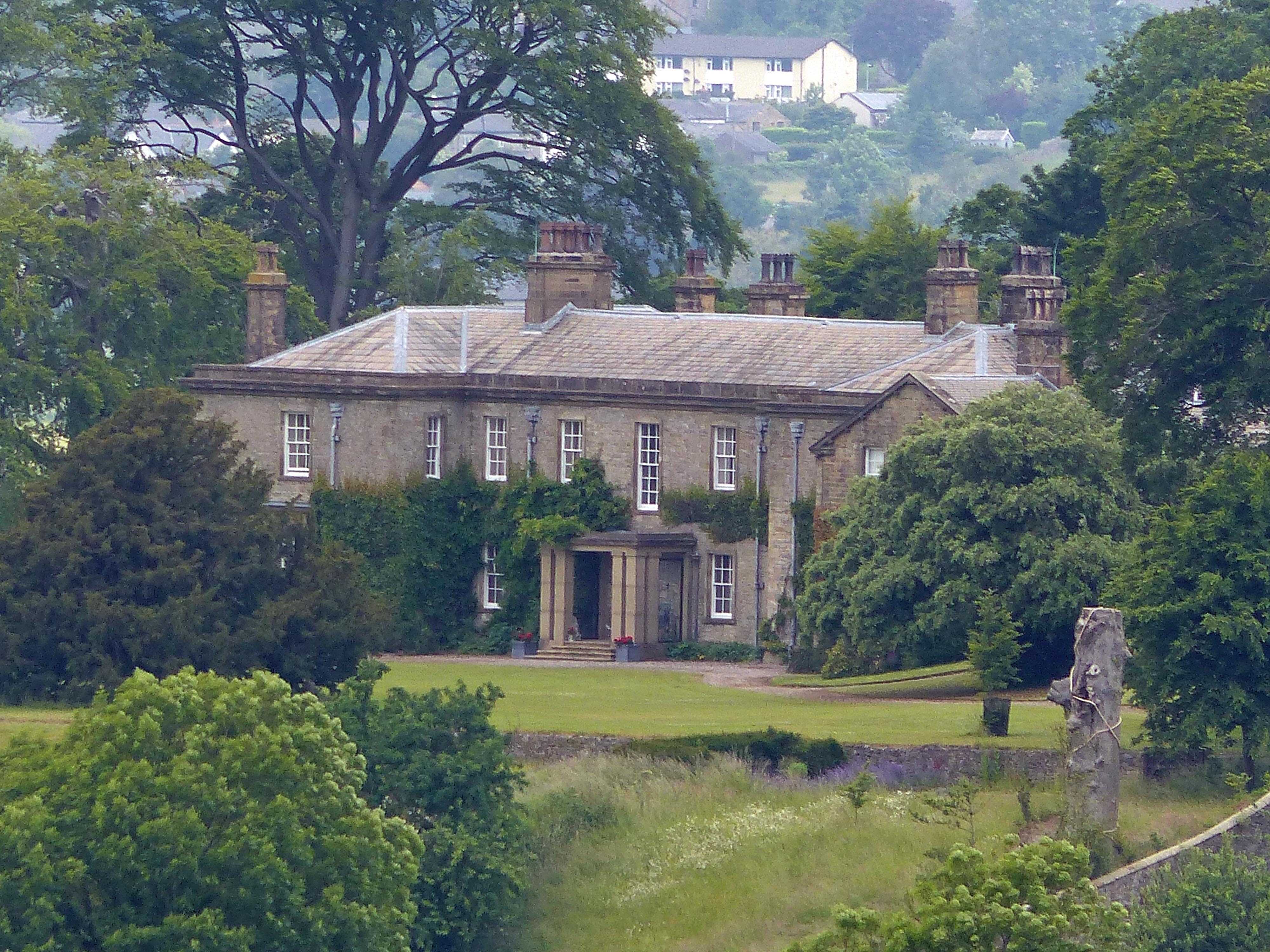
Downham Hall
Downham Hall is an English country house in Downham, Lancashire, England. == Overview == Downham Hall was designed by George Webster (1797–1864) in 1835...
Nearby Amenities
Located within 500m of 53.897642,-2.3569452Have you been to Bean Hill?
Leave your review of Bean Hill below (or comments, questions and feedback).