Whinny Hill
Hill, Mountain in Westmorland Eden
England
Whinny Hill
Whinny Hill, located in the county of Westmorland, is a prominent hill/mountain that stands tall amidst the picturesque landscapes of the Lake District National Park in northwest England. With an elevation of approximately 600 meters (1,970 feet), it offers magnificent panoramic views of the surrounding area.
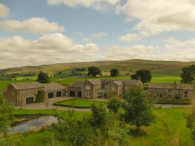
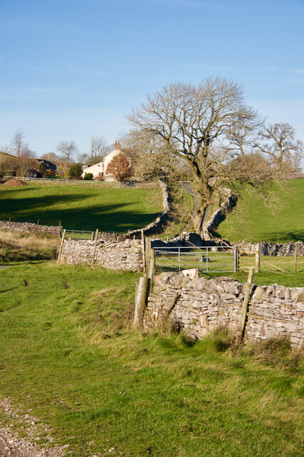
Whinny Hill is characterized by its gentle slopes, covered in a rich tapestry of green meadows, scattered with limestone outcrops, and adorned with vibrant wildflowers during the summer months. It is situated in close proximity to the charming village of Sedbergh, which adds to its appeal for both locals and tourists alike.
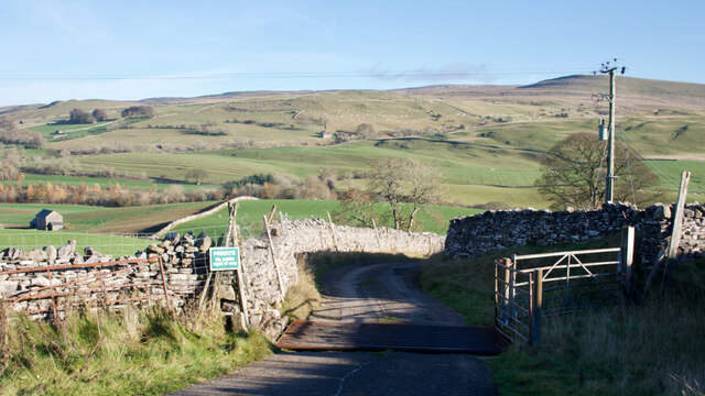
The hill/mountain is a popular destination for hikers and nature enthusiasts who seek to explore the natural beauty of the Lake District. Its well-maintained footpaths and trails make it accessible and inviting for visitors of all abilities. As one ascends Whinny Hill, they are treated to breathtaking vistas of rolling hills, serene valleys, and glittering water bodies, such as the nearby River Lune.
The summit of Whinny Hill offers an awe-inspiring panorama, allowing visitors to observe the splendor of the surrounding fells, including the famous Howgill Fells, the Yorkshire Dales, and even glimpses of the distant Lakeland peaks. On clear days, it is said that the visibility from the summit stretches as far as the coast, providing a truly remarkable experience.
In conclusion, Whinny Hill is a magnificent hill/mountain in Westmorland, offering stunning views, ample hiking opportunities, and a chance to immerse oneself in the natural wonders of the Lake District National Park.
If you have any feedback on the listing, please let us know in the comments section below.
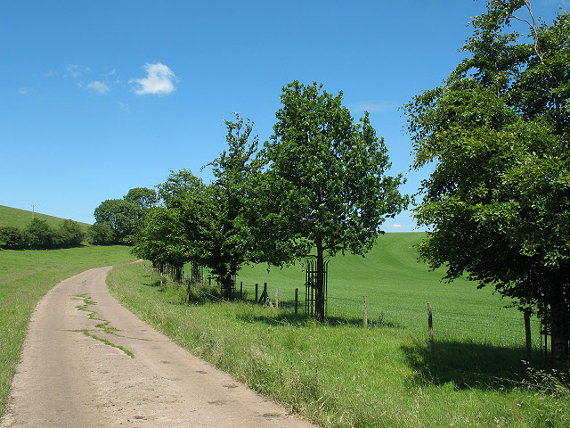
Whinny Hill Images
Images are sourced within 2km of 54.455649/-2.3617399 or Grid Reference NY7606. Thanks to Geograph Open Source API. All images are credited.


![Romano-British settlement and associated field system at Waitby Intake For more info. see Heritagegateway.org.uk. (2018). List Entry Number: 1018064. [online] Available at: <span class="nowrap"><a title="https://www.heritagegateway.org.uk/Gateway/Results_Single.aspx?uid=1018064&amp;resourceID=5" rel="nofollow ugc noopener" href="https://www.heritagegateway.org.uk/Gateway/Results_Single.aspx?uid=1018064&amp;resourceID=5">Link</a><img style="margin-left:2px;" alt="External link" title="External link - shift click to open in new window" src="https://s1.geograph.org.uk/img/external.png" width="10" height="10"/></span> [Accessed 26 Jun. 2022].](https://s0.geograph.org.uk/geophotos/07/21/03/7210332_c411505d.jpg)
![Strip lynchets Medieval cultivation strip lynchets.
For more info. see Heritagegateway.org.uk. (2016). List Entry Number: 1007100. [online] Available at: <span class="nowrap"><a title="https://www.heritagegateway.org.uk/Gateway/Results_Single.aspx?uid=1007100&amp;resourceID=5" rel="nofollow ugc noopener" href="https://www.heritagegateway.org.uk/Gateway/Results_Single.aspx?uid=1007100&amp;resourceID=5">Link</a><img style="margin-left:2px;" alt="External link" title="External link - shift click to open in new window" src="https://s1.geograph.org.uk/img/external.png" width="10" height="10"/></span> [Accessed 26 Jun. 2022].](https://s3.geograph.org.uk/geophotos/07/21/03/7210351_8af30559.jpg)
Whinny Hill is located at Grid Ref: NY7606 (Lat: 54.455649, Lng: -2.3617399)
Administrative County: Cumbria
District: Eden
Police Authority: Cumbria
What 3 Words
///initial.fishery.custodian. Near Kirkby Stephen, Cumbria
Nearby Locations
Related Wikis
Wharton, Cumbria
Wharton is a civil parish near Kirkby Stephen in the Eden District of Cumbria, England, which, historically, was part of Westmorland. It has a population...
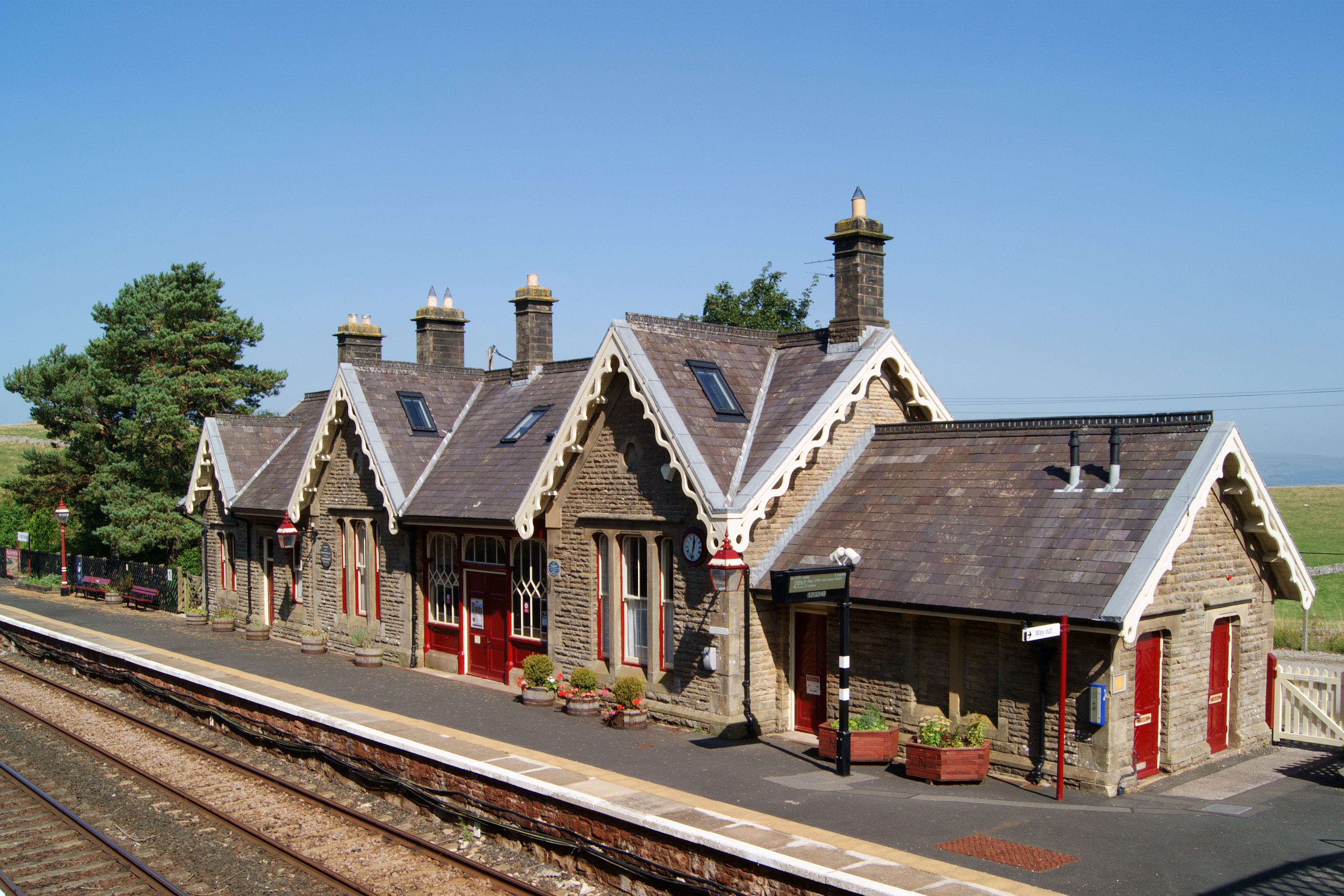
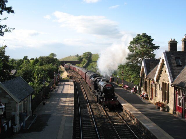
Kirkby Stephen railway station
Kirkby Stephen is a railway station in Eden in Cumbria, England, on the Settle and Carlisle Line, which runs between Carlisle and Leeds via Settle. The...
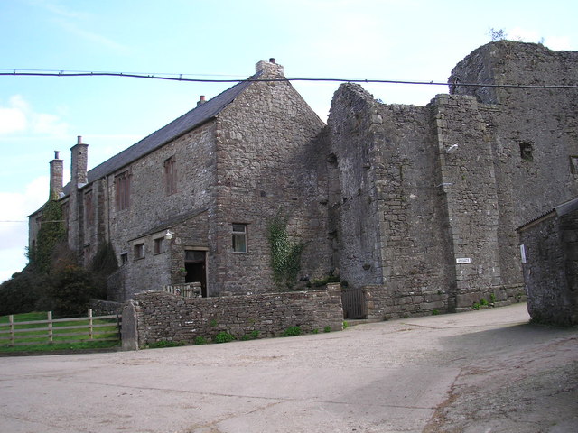
Wharton Hall
Wharton Hall in Wharton, Cumbria, England, is a medieval fortified manor house. == History == At the heart of Wharton Hall is a 15th-century hall, built...

Kirkby Stephen East railway station
Kirkby Stephen East railway station was situated on the South Durham & Lancashire Union Railway (known as the Stainmore Line) between Barnard Castle and...

Nateby, Cumbria
Nateby is a village and civil parish in the Eden district of Cumbria, England. The parish had a population of 110 in 2001, increasing to 120 at the 2011...

Devil's Grinding Mill
The Devil's Grinding Mill, sometimes known as the Devil's Hole, is part of The Angel's Drainpipe, a partially collapsed cave system on the River Eden in...
Stainmore Railway Company
Stainmore Railway Company is a volunteer-run, non-profit preservation company formed in 2000 with the aim of restoring Kirkby Stephen East railway station...
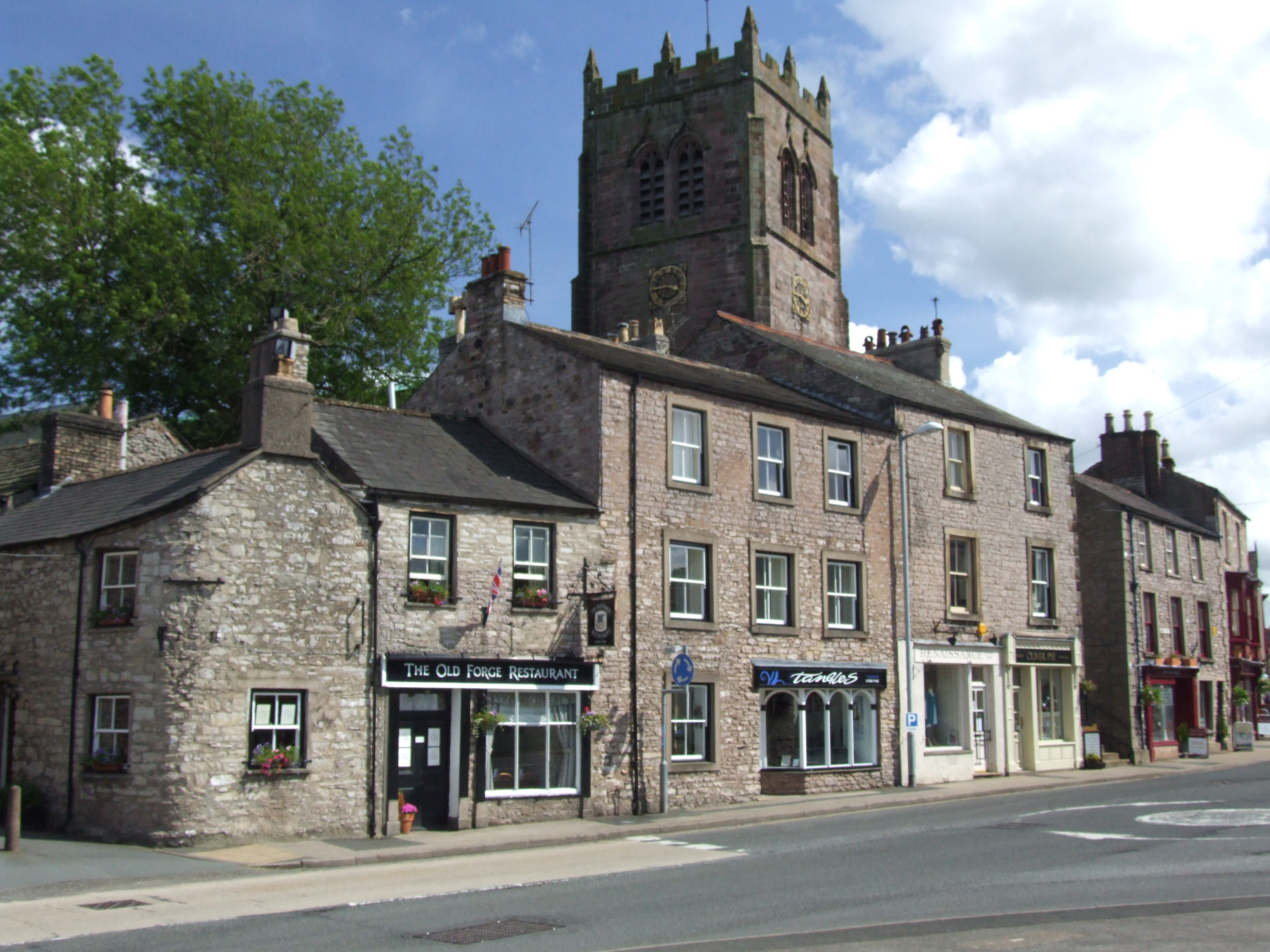
Kirkby Stephen
Kirkby Stephen () is a market town and civil parish in Westmorland and Furness, Cumbria, England. Historically part of Westmorland, it lies on the A685...
Nearby Amenities
Located within 500m of 54.455649,-2.3617399Have you been to Whinny Hill?
Leave your review of Whinny Hill below (or comments, questions and feedback).