Bengy Hill
Hill, Mountain in Westmorland Eden
England
Bengy Hill
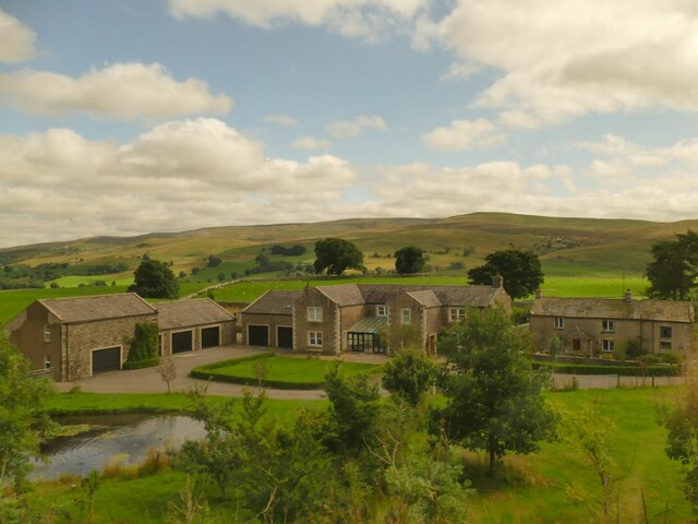
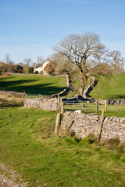
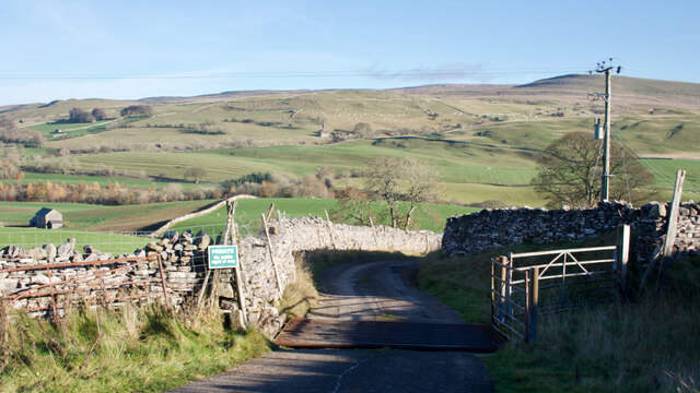
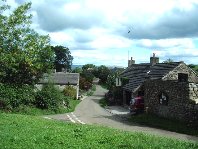
Bengy Hill, located in Westmorland, is a picturesque hill and mountain in the northwest region of England. Rising to an elevation of approximately 455 meters (1,492 feet), it offers stunning views of the surrounding countryside and the nearby Lake District National Park. Bengy Hill is situated amidst the enchanting landscape of Cumbria, attracting nature enthusiasts, hikers, and photographers alike.
The terrain of Bengy Hill is characterized by rolling hills, verdant meadows, and dense woodlands, creating an idyllic setting for outdoor activities. The hill is a popular destination for hikers, who can explore the well-marked trails that wind their way up to the summit. The ascent can be challenging in some parts, but the effort is rewarded with breathtaking panoramic vistas from the peak.
Wildlife is abundant in Bengy Hill, with various species of birds, including red kites, buzzards, and peregrine falcons, soaring through the skies. The hill is also home to a diverse range of plants and flowers, adding splashes of color to the landscape throughout the year.
For those seeking a tranquil escape from the bustling city life, Bengy Hill offers a serene and peaceful atmosphere. Visitors can enjoy a picnic on the grassy slopes, take in the picturesque views, or simply immerse themselves in the natural beauty of the surroundings.
Overall, Bengy Hill in Westmorland provides a captivating experience for nature lovers, with its scenic vistas, diverse wildlife, and a peaceful ambiance that makes it an ideal spot for outdoor enthusiasts and those seeking a connection with nature.
If you have any feedback on the listing, please let us know in the comments section below.
Bengy Hill Images
Images are sourced within 2km of 54.457337/-2.365318 or Grid Reference NY7606. Thanks to Geograph Open Source API. All images are credited.


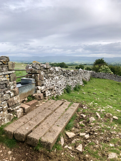
![Romano-British settlement and associated field system at Waitby Intake For more info. see Heritagegateway.org.uk. (2018). List Entry Number: 1018064. [online] Available at: <span class="nowrap"><a title="https://www.heritagegateway.org.uk/Gateway/Results_Single.aspx?uid=1018064&amp;resourceID=5" rel="nofollow ugc noopener" href="https://www.heritagegateway.org.uk/Gateway/Results_Single.aspx?uid=1018064&amp;resourceID=5">Link</a><img style="margin-left:2px;" alt="External link" title="External link - shift click to open in new window" src="https://s1.geograph.org.uk/img/external.png" width="10" height="10"/></span> [Accessed 26 Jun. 2022].](https://s0.geograph.org.uk/geophotos/07/21/03/7210332_c411505d.jpg)
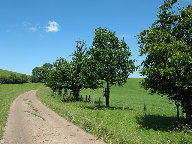
![Strip lynchets Medieval cultivation strip lynchets.
For more info. see Heritagegateway.org.uk. (2016). List Entry Number: 1007100. [online] Available at: <span class="nowrap"><a title="https://www.heritagegateway.org.uk/Gateway/Results_Single.aspx?uid=1007100&amp;resourceID=5" rel="nofollow ugc noopener" href="https://www.heritagegateway.org.uk/Gateway/Results_Single.aspx?uid=1007100&amp;resourceID=5">Link</a><img style="margin-left:2px;" alt="External link" title="External link - shift click to open in new window" src="https://s1.geograph.org.uk/img/external.png" width="10" height="10"/></span> [Accessed 26 Jun. 2022].](https://s3.geograph.org.uk/geophotos/07/21/03/7210351_8af30559.jpg)
Bengy Hill is located at Grid Ref: NY7606 (Lat: 54.457337, Lng: -2.365318)
Administrative County: Cumbria
District: Eden
Police Authority: Cumbria
What 3 Words
///stripped.motor.euphoric. Near Kirkby Stephen, Cumbria
Nearby Locations
Related Wikis
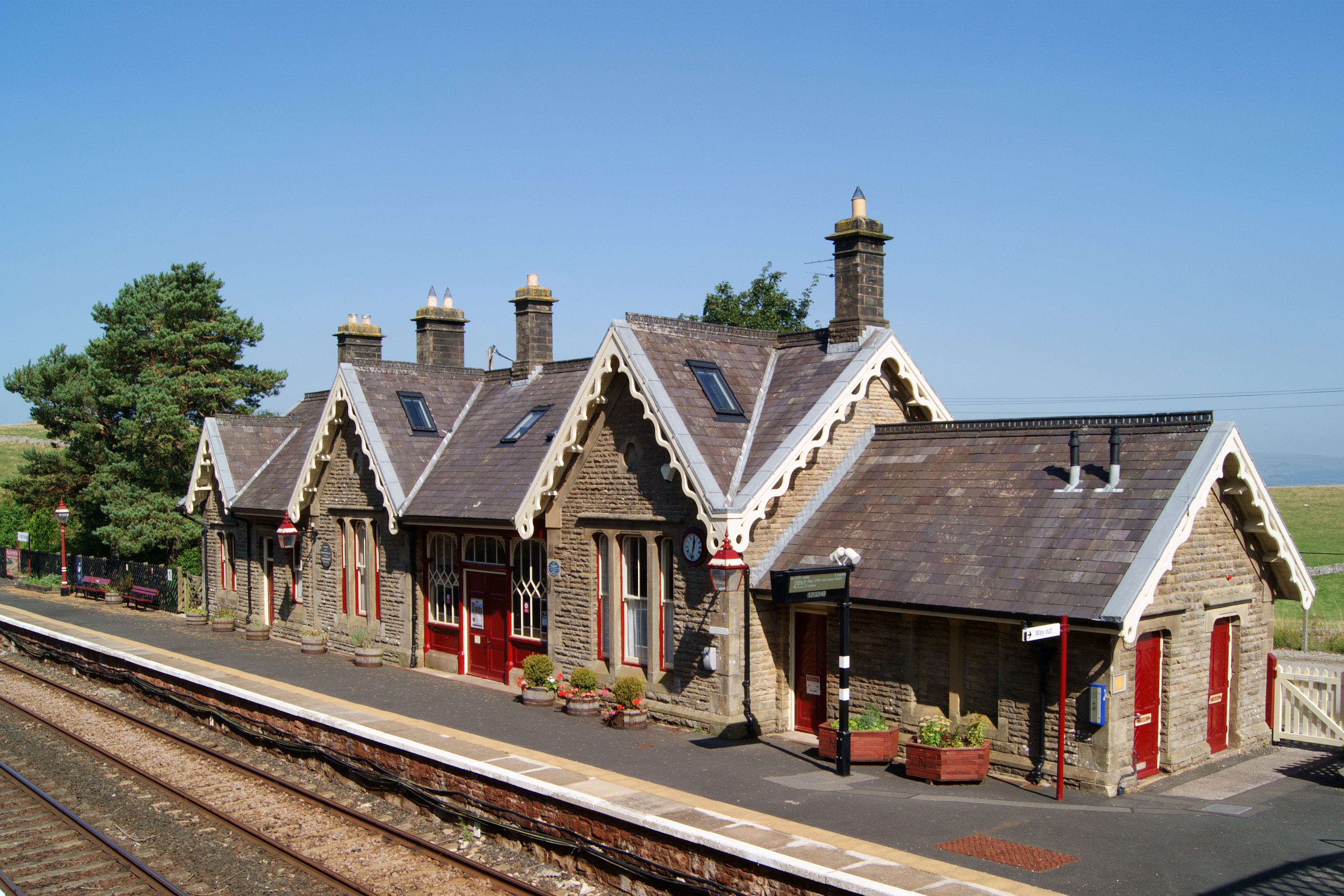
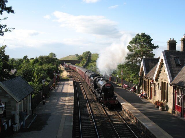
Kirkby Stephen railway station
Kirkby Stephen is a railway station in Eden in Cumbria, England, on the Settle and Carlisle Line, which runs between Carlisle and Leeds via Settle. The...
Wharton, Cumbria
Wharton is a civil parish near Kirkby Stephen in the Eden District of Cumbria, England, which, historically, was part of Westmorland. It has a population...

Kirkby Stephen East railway station
Kirkby Stephen East railway station was situated on the South Durham & Lancashire Union Railway (known as the Stainmore Line) between Barnard Castle and...
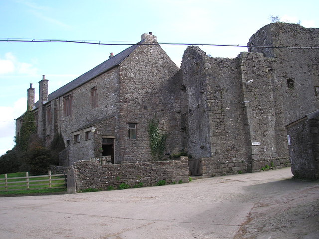
Wharton Hall
Wharton Hall in Wharton, Cumbria, England, is a medieval fortified manor house. == History == At the heart of Wharton Hall is a 15th-century hall, built...

Devil's Grinding Mill
The Devil's Grinding Mill, sometimes known as the Devil's Hole, is part of The Angel's Drainpipe, a partially collapsed cave system on the River Eden in...

Nateby, Cumbria
Nateby is a village and civil parish in the Eden district of Cumbria, England. The parish had a population of 110 in 2001, increasing to 120 at the 2011...
Waitby
Waitby is a small village and civil parish in the Eden district of Cumbria, England. The parish contains two small villages, Waitby and Smardale, plus...
Stainmore Railway Company
Stainmore Railway Company is a volunteer-run, non-profit preservation company formed in 2000 with the aim of restoring Kirkby Stephen East railway station...
Nearby Amenities
Located within 500m of 54.457337,-2.365318Have you been to Bengy Hill?
Leave your review of Bengy Hill below (or comments, questions and feedback).