Watergate Plantation
Wood, Forest in Cornwall
England
Watergate Plantation

The requested URL returned error: 429 Too Many Requests
If you have any feedback on the listing, please let us know in the comments section below.
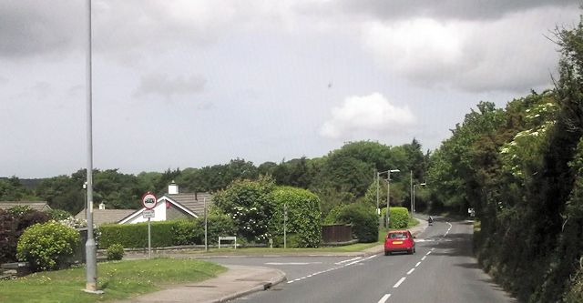
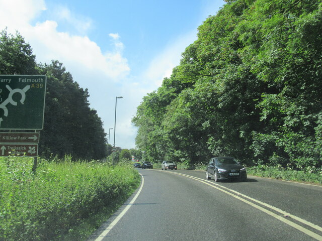
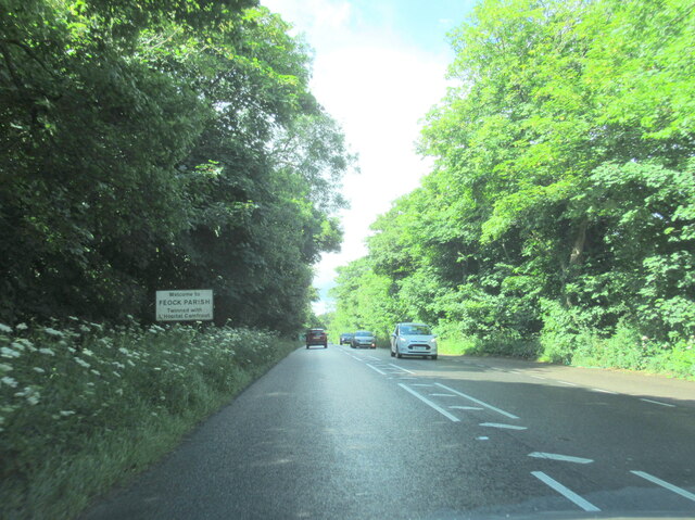
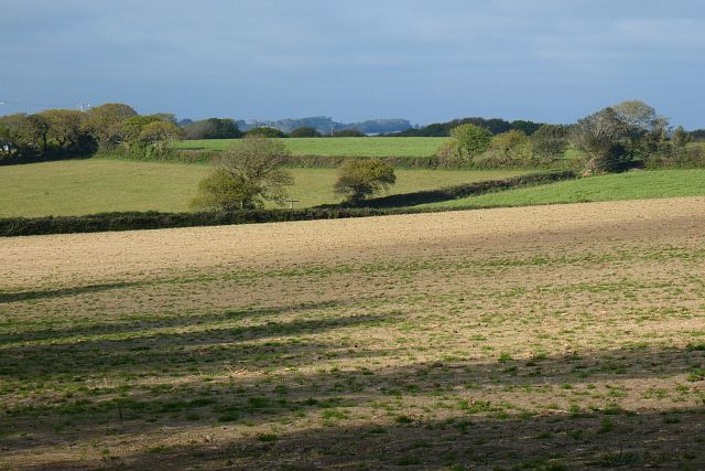
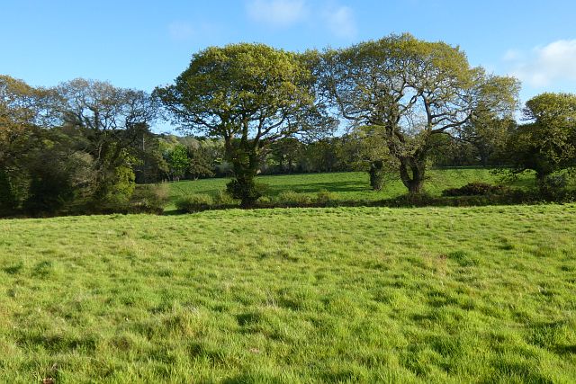
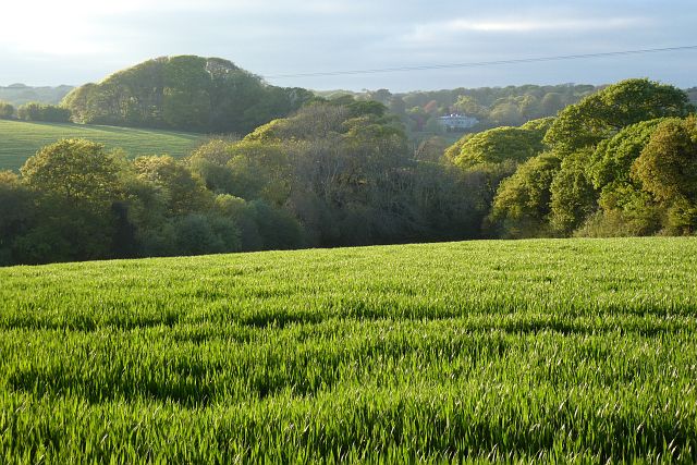
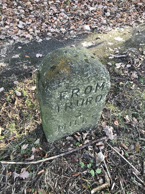
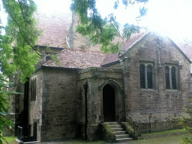
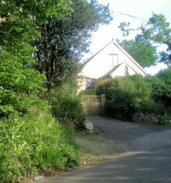
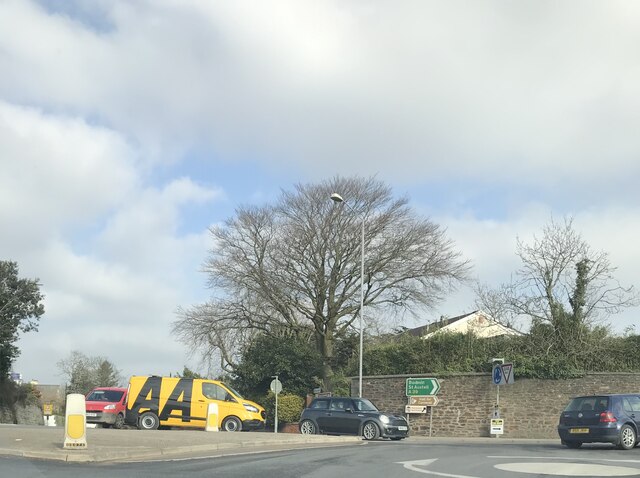
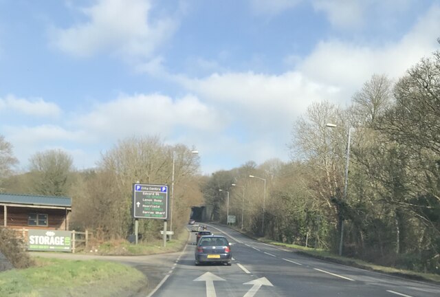
Watergate Plantation Images
Images are sourced within 2km of 50.240916/-5.0710273 or Grid Reference SW8142. Thanks to Geograph Open Source API. All images are credited.


Watergate Plantation is located at Grid Ref: SW8142 (Lat: 50.240916, Lng: -5.0710273)
Unitary Authority: Cornwall
Police Authority: Devon and Cornwall
What 3 Words
///talkers.slant.skill. Near Truro, Cornwall
Related Wikis

Kea, Cornwall
Kea ( KEE; Cornish: Sen Ke) is a civil parish and village in Cornwall, England, United Kingdom. It is a "large straggling parish" in a former mining...

Playing Place
Playing Place is a village southwest of Truro in Cornwall, England, UK. It is to the east of the A39 road. The name derives from Cornish 'plain an gwarry...

Calenick
Calenick (Cornish: Klunyek) is a hamlet in the civil parish of Kea, about a mile south of Truro in Cornwall, England, UK. It is at the head of Calenick...

Calenick House
Calenick House (Cornish: Klunyek Chi) Calenick House is the principal part of a country house that forms a prominent collection of Grade II* listed buildings...
Nearby Amenities
Located within 500m of 50.240916,-5.0710273Have you been to Watergate Plantation?
Leave your review of Watergate Plantation below (or comments, questions and feedback).