Lake's Plantation

Wood, Forest in Cornwall

England

Lake's Plantation

Road junction, Chyreen Lane
Road junction, Chyreen Lane Credit: Alex McGregor

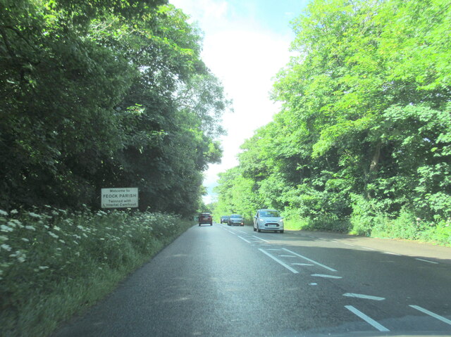
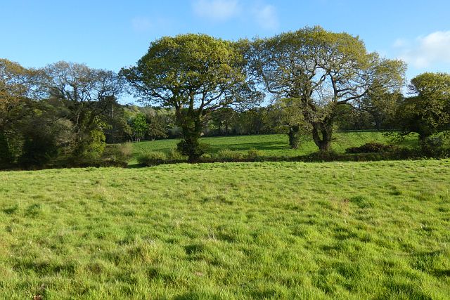
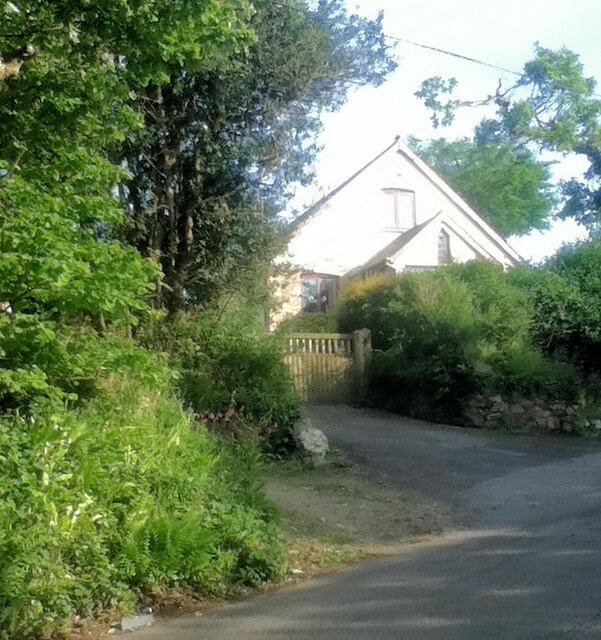
Lake's Plantation is a picturesque woodland located in Cornwall, England. Situated in close proximity to the charming village of Lake's End, the plantation covers a sprawling area of lush greenery and is a sanctuary for nature enthusiasts and outdoor enthusiasts alike.

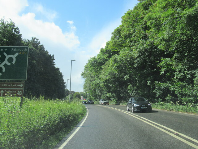
The plantation is filled with a diverse range of trees, including oak, beech, and pine, which form a dense canopy overhead, providing shade and shelter for the vibrant array of flora and fauna that call this place home. The forest floor is blanketed with a carpet of ferns, bluebells, and wildflowers, creating a vibrant tapestry of colors that changes with the seasons.

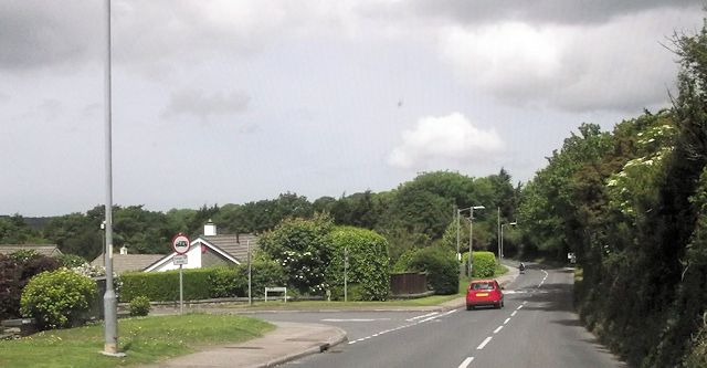
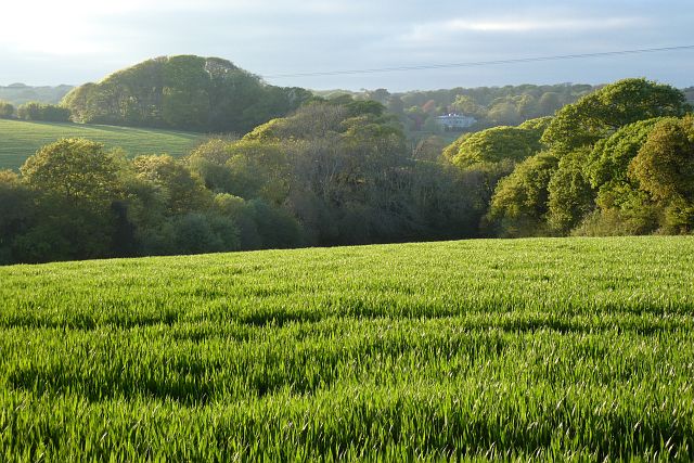
Tranquil walking trails meander through the plantation, offering visitors the opportunity to immerse themselves in the natural beauty that surrounds them. The paths wind their way through the towering trees, allowing for peaceful strolls, jogging, or even leisurely horseback riding.

The plantation is also home to a variety of wildlife, with a multitude of birds singing their melodic tunes from the treetops. It is not uncommon to spot deer, rabbits, and squirrels darting through the underbrush, adding to the enchanting atmosphere of the woodland.

Lake's Plantation is a popular destination for outdoor activities such as picnicking, camping, and birdwatching. The plantation also hosts educational programs and guided nature walks, providing visitors with the opportunity to learn more about the diverse ecosystem and conservation efforts in the area.

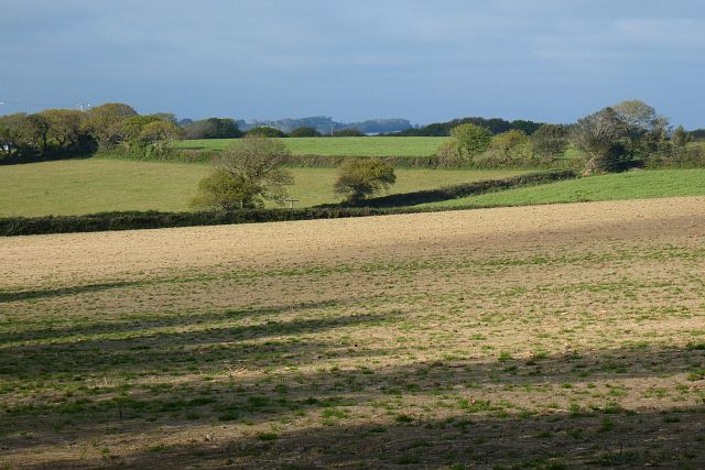
Overall, Lake's Plantation is a haven of natural beauty, offering a tranquil escape from the hustle and bustle of everyday life. With its lush greenery, abundant wildlife, and variety of recreational activities, it is a must-visit destination for nature lovers and those seeking a peaceful retreat in the heart of Cornwall.

If you have any feedback on the listing, please let us know in the comments section below.

Lake's Plantation Images

Images are sourced within 2km of 50.237822/-5.07066 or Grid Reference SW8142. Thanks to Geograph Open Source API. All images are credited.

Road junction, Chyreen Lane
Bend approaching Garden centre
Footpath and grassland, Feock On the approach to Killiganoon Farm.
Footpath and grassland, Feock
On the approach to Killiganoon Farm.
Disused railway bridge over the A39 Truro
The A39 at Playing Place
Welcome to Feock Parish on the A39
Carnon Downs village sign on the A39
Farmland, Kea Beside the road climbing from Penwethers.
Farmland, Kea
Beside the road climbing from Penwethers.
Farmland, Kea Part of the former golf course at Killiow, now used agriculturally.
Farmland, Kea
Part of the former golf course at Killiow, now used agriculturally.
Pasture, Kea The hillside to the east of the A39.
Pasture, Kea
The hillside to the east of the A39.
Farmland, Kea Killiow House is glimpsed over fields of wheat to the north of Chyreen Lane.
Farmland, Kea
Killiow House is glimpsed over fields of wheat to the north of Chyreen Lane.
Old Milestone by the A39, near Killiganoon Carved stone post by the A39, in parish of FEOCK (CARRICK District), Killiganoon, Carnon Downs, on the verge opposite layby, on East side of road. Truro stone, erected by the Truro turnpike trust in the 19th century. 

Inscription reads:-
FROM
TRURO
3
MILES 

Grade II Listed. List Entry Number:1311179

Milestone Society National ID: CW_TOPR03. 

<span class="nowrap"><a title="https://www.instantstreetview.com/@50.227608,-5.07877,173.31h,-7.07p,4z" rel="nofollow ugc noopener" href="https://www.instantstreetview.com/@50.227608,-5.07877,173.31h,-7.07p,4z">Link</a><img style="margin-left:2px;" alt="External link" title="External link - shift click to open in new window" src="https://s1.geograph.org.uk/img/external.png" width="10" height="10"/></span>
Old Milestone by the A39, near Killiganoon
Carved stone post by the A39, in parish of FEOCK (CARRICK District), Killiganoon, Carnon Downs, on the verge opposite layby, on East side of road. Truro stone, erected by the Truro turnpike trust in the 19th century. Inscription reads:- FROM TRURO 3 MILES Grade II Listed. List Entry Number:1311179 Milestone Society National ID: CW_TOPR03. LinkExternal link
Phonebox
Phonebox
Victorian postbox
Victorian postbox
All Hallows Church, Kea
Former Penwethers Wesleyan Methodist Chapel Built 1852 and closed in 1977.  <span class="nowrap"><a title="http://cornishstory.com/2021/02/05/mapping-methodism-penwethers-wesleyan-chapel/" rel="nofollow ugc noopener" href="http://cornishstory.com/2021/02/05/mapping-methodism-penwethers-wesleyan-chapel/">Link</a><img style="margin-left:2px;" alt="External link" title="External link - shift click to open in new window" src="https://s1.geograph.org.uk/img/external.png" width="10" height="10"/></span>
Former Penwethers Wesleyan Methodist Chapel
Built 1852 and closed in 1977. LinkExternal link
A39 towards Truro
A39 towards Truro
A39 roundabout at Playing Place
Show me another place!

Lake's Plantation is located at Grid Ref: SW8142 (Lat: 50.237822, Lng: -5.07066)

Unitary Authority: Cornwall

Police Authority: Devon and Cornwall

What 3 Words

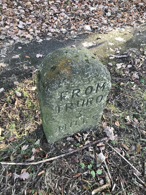
///factory.conducted.finders. Near Truro, Cornwall

Related Wikis

Kea, Cornwall

Kea ( KEE; Cornish: Sen Ke) is a civil parish and village in Cornwall, England, United Kingdom. It is a "large straggling parish" in a former mining...

Playing Place

Playing Place is a village southwest of Truro in Cornwall, England, UK. It is to the east of the A39 road. The name derives from Cornish 'plain an gwarry...

Richard Lander School

Richard Lander School is a coeducational secondary school located in Truro, Cornwall, England. It is named after Richard Lemon Lander.It is a community...

Calenick

Calenick (Cornish: Klunyek) is a hamlet in the civil parish of Kea, about a mile south of Truro in Cornwall, England, UK. It is at the head of Calenick...

Nearby Amenities

Located within 500m of 50.237822,-5.07066
Post Box
Brand: Royal Mail
Brand Wikidata: Q638098
Collection Times: Mo-Fr 09:00; Sa 07:00; Su off
Drive Through: no
Operator: Royal Mail
Operator Wikidata: Q638098
Post Box Design: type_b
Post Box Mounting: brick_pillar
Post Box Type: wall
Ref: TR3 169D
Royal Cypher: GVIR
Royal Cypher Wikidata: Q33102169
Source: survey;aerial imagery
Lat/Long: 50.2345089/-5.0692318
Ford: yes
Source: OS_OpenData_StreetView
Lat/Long: 50.2418244/-5.0697321
Leisure: playground
Lat/Long: 50.2341844/-5.0702006
Playing Place
Name Kw: Plen an Gwari
Place: village
Wikidata: Q13130786
Lat/Long: 50.234157/-5.0685226
Plen an Gwary
Archaeological Site: amphitheatre
Historic: archaeological_site
Historic Civilization: medieval
Wikidata: Q7200599
Wikipedia: en:Plen-an-gwary
Lat/Long: 50.2368608/-5.0665313
Traffic Calming: chicane
Lat/Long: 50.2381449/-5.066678
Traffic Calming: cushion
Lat/Long: 50.2362/-5.0680498
Traffic Calming: chicane
Lat/Long: 50.2340825/-5.0697079
Power: pole
Lat/Long: 50.2391196/-5.0647898
The data included in this document is from www.openstreetmap.org. The data is made available under ODbL.

Have you been to Lake's Plantation?

Leave your review of Lake's Plantation below (or comments, questions and feedback).