Slaughteran Plantation

Wood, Forest in Cornwall

England

Slaughteran Plantation

Road junction, Chyreen Lane
Road junction, Chyreen Lane Credit: Alex McGregor

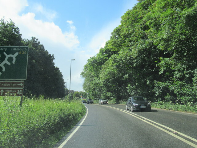
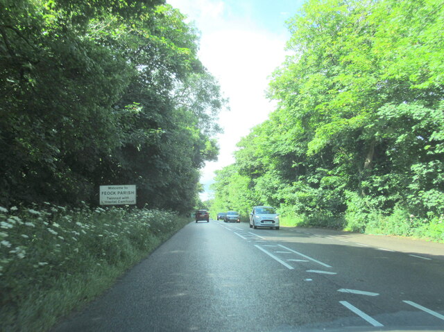
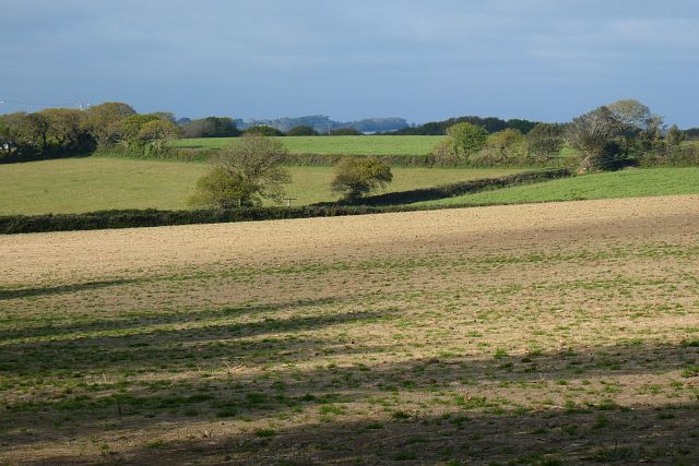
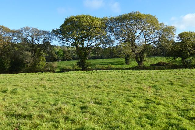
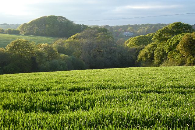
Slaughteran Plantation, located in Cornwall, England, is a picturesque woodland area known for its natural beauty and rich history. Spanning over several acres, this enchanting forest is situated in a rural setting, surrounded by rolling hills and meandering streams.

The plantation is predominantly composed of various species of trees, including oak, beech, and ash, which provide a diverse and vibrant landscape. The dense foliage forms a canopy overhead, creating a cool and serene atmosphere, perfect for leisurely walks and nature exploration.

The plantation has a fascinating history dating back several centuries. It was originally established as a hunting ground for the local nobility, and remnants of their presence can still be found today, such as ancient stone structures and hunting lodges. Over time, the area transitioned into a managed woodland, with careful conservation efforts ensuring the preservation of its natural wonders.

Visitors to Slaughteran Plantation can enjoy a range of outdoor activities. The well-maintained trails offer opportunities for hiking and cycling, allowing visitors to immerse themselves in the tranquil surroundings. Bird watchers will also find the plantation to be a haven, as it serves as a home to several species of birds, including woodpeckers and owls.

Additionally, the plantation provides a habitat for various wildlife, including deer, foxes, and squirrels, adding to the diversity and allure of the area.

Overall, Slaughteran Plantation in Cornwall is a captivating woodland retreat, offering a perfect blend of natural beauty, historical significance, and recreational opportunities for visitors to enjoy.

If you have any feedback on the listing, please let us know in the comments section below.

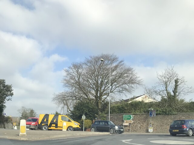
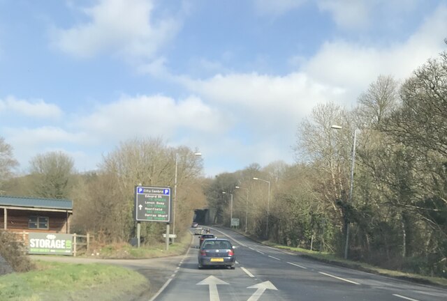
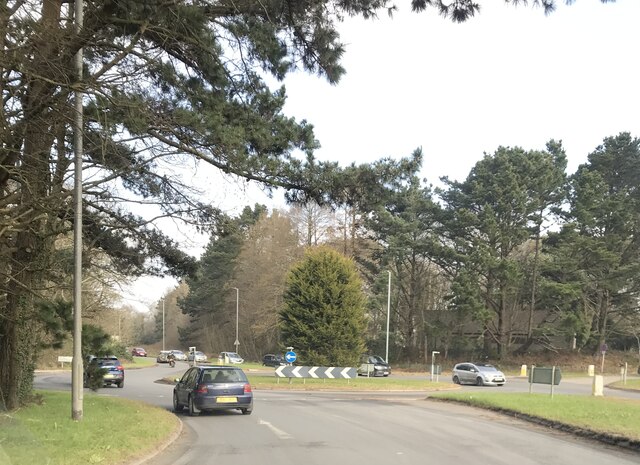
Slaughteran Plantation Images

Images are sourced within 2km of 50.240854/-5.070308 or Grid Reference SW8142. Thanks to Geograph Open Source API. All images are credited.

Road junction, Chyreen Lane
Footpath and grassland, Feock On the approach to Killiganoon Farm.
Footpath and grassland, Feock
On the approach to Killiganoon Farm.
Disused railway bridge over the A39 Truro
The A39 at Playing Place
Welcome to Feock Parish on the A39
Carnon Downs village sign on the A39
Farmland, Kea Beside the road climbing from Penwethers.
Farmland, Kea
Beside the road climbing from Penwethers.
Farmland, Kea Part of the former golf course at Killiow, now used agriculturally.
Farmland, Kea
Part of the former golf course at Killiow, now used agriculturally.
Pasture, Kea The hillside to the east of the A39.
Pasture, Kea
The hillside to the east of the A39.
Farmland, Kea Killiow House is glimpsed over fields of wheat to the north of Chyreen Lane.
Farmland, Kea
Killiow House is glimpsed over fields of wheat to the north of Chyreen Lane.
Old Milestone by the A39, near Killiganoon Carved stone post by the A39, in parish of FEOCK (CARRICK District), Killiganoon, Carnon Downs, on the verge opposite layby, on East side of road. Truro stone, erected by the Truro turnpike trust in the 19th century. 

Inscription reads:-
FROM
TRURO
3
MILES 

Grade II Listed. List Entry Number:1311179

Milestone Society National ID: CW_TOPR03. 

<span class="nowrap"><a title="https://www.instantstreetview.com/@50.227608,-5.07877,173.31h,-7.07p,4z" rel="nofollow ugc noopener" href="https://www.instantstreetview.com/@50.227608,-5.07877,173.31h,-7.07p,4z">Link</a><img style="margin-left:2px;" alt="External link" title="External link - shift click to open in new window" src="https://s1.geograph.org.uk/img/external.png" width="10" height="10"/></span>
Old Milestone by the A39, near Killiganoon
Carved stone post by the A39, in parish of FEOCK (CARRICK District), Killiganoon, Carnon Downs, on the verge opposite layby, on East side of road. Truro stone, erected by the Truro turnpike trust in the 19th century. Inscription reads:- FROM TRURO 3 MILES Grade II Listed. List Entry Number:1311179 Milestone Society National ID: CW_TOPR03. LinkExternal link
Phonebox
Phonebox
Victorian postbox
Victorian postbox
All Hallows Church, Kea
Former Penwethers Wesleyan Methodist Chapel Built 1852 and closed in 1977.  <span class="nowrap"><a title="http://cornishstory.com/2021/02/05/mapping-methodism-penwethers-wesleyan-chapel/" rel="nofollow ugc noopener" href="http://cornishstory.com/2021/02/05/mapping-methodism-penwethers-wesleyan-chapel/">Link</a><img style="margin-left:2px;" alt="External link" title="External link - shift click to open in new window" src="https://s1.geograph.org.uk/img/external.png" width="10" height="10"/></span>
Former Penwethers Wesleyan Methodist Chapel
Built 1852 and closed in 1977. LinkExternal link
A390/A39 Arch Hill
A390/A39 Arch Hill
A39 towards Truro
A39 towards Truro
A39 roundabout at Playing Place
Show me another place!

Slaughteran Plantation is located at Grid Ref: SW8142 (Lat: 50.240854, Lng: -5.070308)

Unitary Authority: Cornwall

Police Authority: Devon and Cornwall

What 3 Words

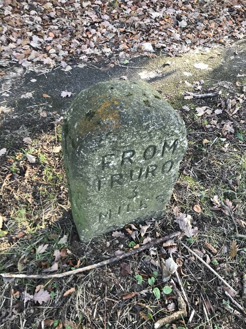
///placidly.apes.spillage. Near Truro, Cornwall

Related Wikis

Kea, Cornwall

Kea ( KEE; Cornish: Sen Ke) is a civil parish and village in Cornwall, England, United Kingdom. It is a "large straggling parish" in a former mining...

Playing Place

Playing Place is a village southwest of Truro in Cornwall, England, UK. It is to the east of the A39 road. The name derives from Cornish 'plain an gwarry...

Calenick

Calenick (Cornish: Klunyek) is a hamlet in the civil parish of Kea, about a mile south of Truro in Cornwall, England, UK. It is at the head of Calenick...

Calenick House

Calenick House (Cornish: Klunyek Chi) Calenick House is the principal part of a country house that forms a prominent collection of Grade II* listed buildings...

Nearby Amenities

Located within 500m of 50.240854,-5.070308
Ford: yes
Source: OS_OpenData_StreetView
Lat/Long: 50.2418244/-5.0697321
Traffic Calming: chicane
Lat/Long: 50.2381449/-5.066678
Kea
Name Kw: Ke
Place: village
Source: NLS - OS 1:25k 1st Series 1937-61
Lat/Long: 50.2447368/-5.072308
Power: pole
Lat/Long: 50.2391196/-5.0647898
Post Box
Brand: Royal Mail
Brand Wikidata: Q638098
Collection Times: Mo-Fr 09:00; Sa 07:00; Su off
Drive Through: no
Operator: Royal Mail
Operator Wikidata: Q638098
Post Box Mounting: building
Post Box Type: lamp
Ref: TR3 64D
Royal Cypher: EIIR
Royal Cypher Wikidata: Q33102113
Source: survey;streetlevel imagery;aerial imagery
Lat/Long: 50.2433818/-5.0723964
The data included in this document is from www.openstreetmap.org. The data is made available under ODbL.

Have you been to Slaughteran Plantation?

Leave your review of Slaughteran Plantation below (or comments, questions and feedback).