Long Plantation

Wood, Forest in Cornwall

England

Long Plantation

Road junction, Chyreen Lane
Road junction, Chyreen Lane Credit: Alex McGregor

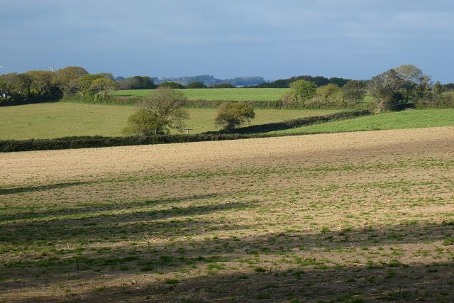
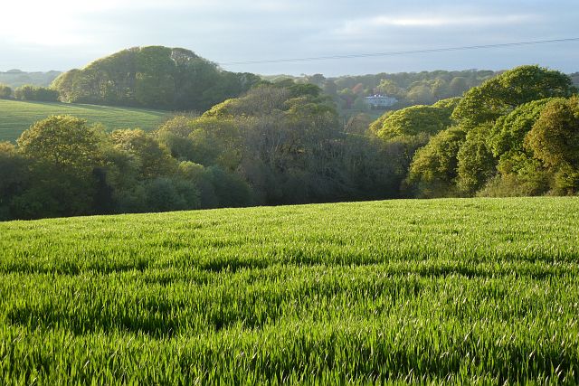
Long Plantation is a picturesque woodland located in Cornwall, England. Situated in the heart of a rural area, the plantation spans across a vast area of approximately 500 acres. Known for its abundant flora and fauna, it offers a serene and tranquil environment for visitors to immerse themselves in nature.

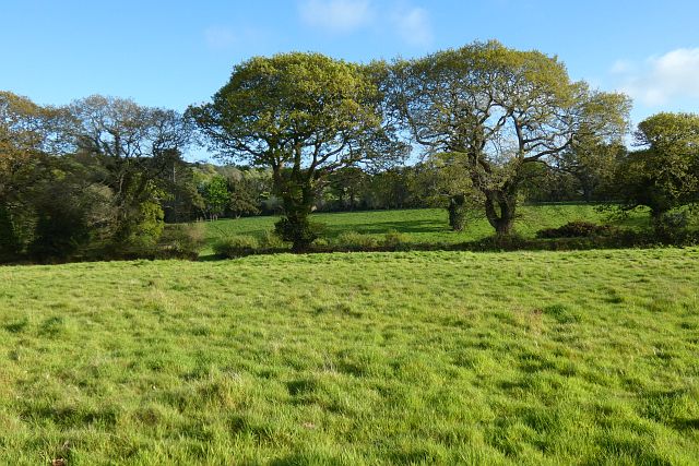
The main feature of Long Plantation is its dense and diverse forest. The woodland is primarily composed of native tree species such as oak, beech, and hazel, creating a rich and vibrant ecosystem. The canopy of the trees provides shelter for a variety of bird species, including the rare spotted flycatcher and the elusive tawny owl.

The forest floor is covered with a lush carpet of ferns, wildflowers, and moss, adding to the enchanting atmosphere of the plantation. In spring, the woodland comes alive with a burst of color as bluebells, primroses, and wood anemones bloom, creating a breathtaking sight for visitors.

Long Plantation also boasts a network of walking trails, allowing visitors to explore the area at their own pace. The trails wind through the woodland, offering glimpses of small streams, hidden clearings, and ancient tree specimens. Nature enthusiasts can spot various wildlife species along the way, including badgers, foxes, and even the occasional deer.

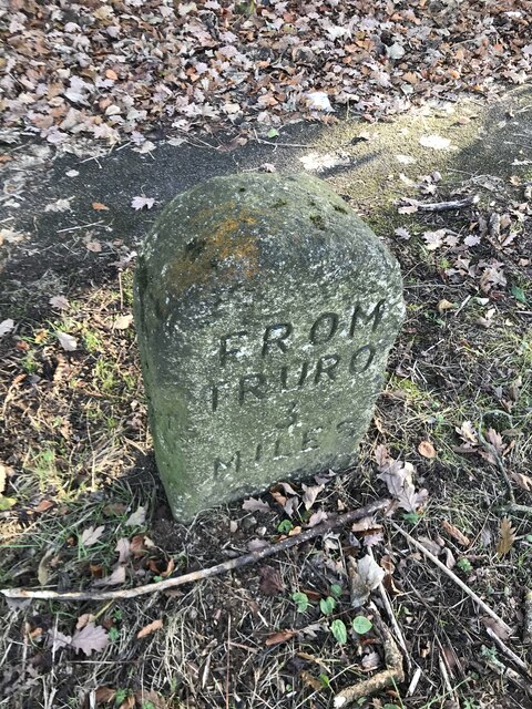
In addition to its natural beauty, Long Plantation also holds historical significance. The woodland was once part of a larger estate dating back to the 18th century. Remnants of old stone walls and structures can still be seen, serving as a reminder of the area's past.

For those seeking solace in nature or a chance to reconnect with the outdoors, Long Plantation in Cornwall provides an idyllic setting, offering an escape from the hustle and bustle of everyday life.

If you have any feedback on the listing, please let us know in the comments section below.

Long Plantation Images

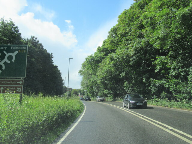
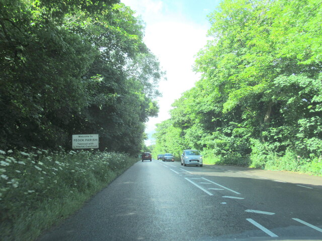
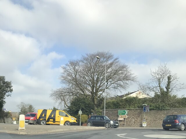
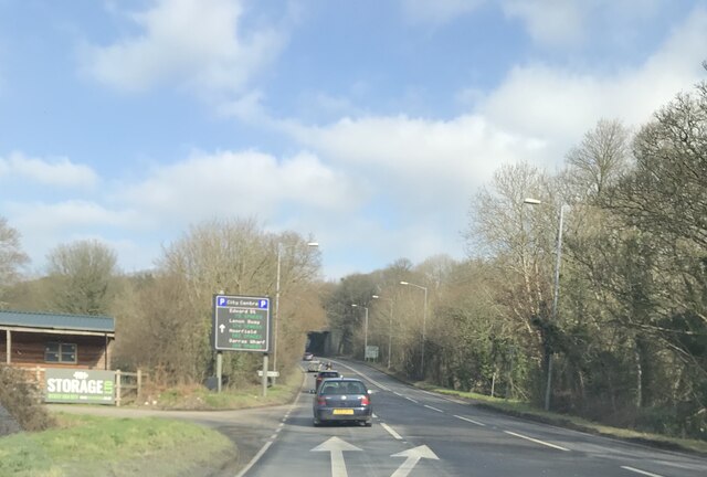
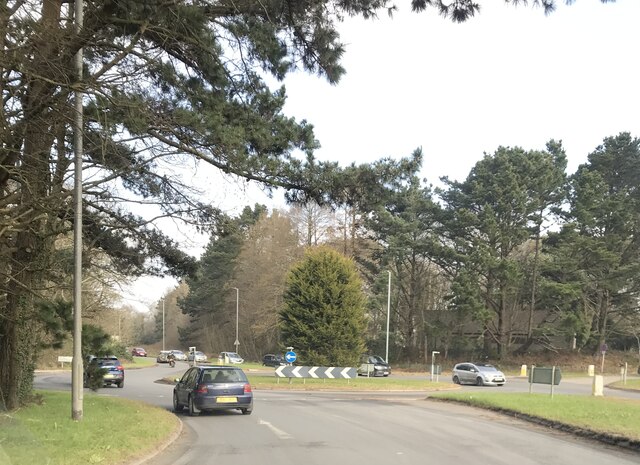
Images are sourced within 2km of 50.239302/-5.0660564 or Grid Reference SW8142. Thanks to Geograph Open Source API. All images are credited.

Road junction, Chyreen Lane
Footpath and grassland, Feock On the approach to Killiganoon Farm.
Footpath and grassland, Feock
On the approach to Killiganoon Farm.
Disused railway bridge over the A39 Truro
The A39 at Playing Place
Welcome to Feock Parish on the A39
Carnon Downs village sign on the A39
Farmland, Kea Beside the road climbing from Penwethers.
Farmland, Kea
Beside the road climbing from Penwethers.
Farmland, Kea Part of the former golf course at Killiow, now used agriculturally.
Farmland, Kea
Part of the former golf course at Killiow, now used agriculturally.
Pasture, Kea The hillside to the east of the A39.
Pasture, Kea
The hillside to the east of the A39.
Farmland, Kea Killiow House is glimpsed over fields of wheat to the north of Chyreen Lane.
Farmland, Kea
Killiow House is glimpsed over fields of wheat to the north of Chyreen Lane.
Old Milestone by the A39, near Killiganoon Carved stone post by the A39, in parish of FEOCK (CARRICK District), Killiganoon, Carnon Downs, on the verge opposite layby, on East side of road. Truro stone, erected by the Truro turnpike trust in the 19th century. 

Inscription reads:-
FROM
TRURO
3
MILES 

Grade II Listed. List Entry Number:1311179

Milestone Society National ID: CW_TOPR03. 

<span class="nowrap"><a title="https://www.instantstreetview.com/@50.227608,-5.07877,173.31h,-7.07p,4z" rel="nofollow ugc noopener" href="https://www.instantstreetview.com/@50.227608,-5.07877,173.31h,-7.07p,4z">Link</a><img style="margin-left:2px;" alt="External link" title="External link - shift click to open in new window" src="https://s1.geograph.org.uk/img/external.png" width="10" height="10"/></span>
Old Milestone by the A39, near Killiganoon
Carved stone post by the A39, in parish of FEOCK (CARRICK District), Killiganoon, Carnon Downs, on the verge opposite layby, on East side of road. Truro stone, erected by the Truro turnpike trust in the 19th century. Inscription reads:- FROM TRURO 3 MILES Grade II Listed. List Entry Number:1311179 Milestone Society National ID: CW_TOPR03. LinkExternal link
Phonebox
Phonebox
Victorian postbox
Victorian postbox
All Hallows Church, Kea
Former Penwethers Wesleyan Methodist Chapel Built 1852 and closed in 1977.  <span class="nowrap"><a title="http://cornishstory.com/2021/02/05/mapping-methodism-penwethers-wesleyan-chapel/" rel="nofollow ugc noopener" href="http://cornishstory.com/2021/02/05/mapping-methodism-penwethers-wesleyan-chapel/">Link</a><img style="margin-left:2px;" alt="External link" title="External link - shift click to open in new window" src="https://s1.geograph.org.uk/img/external.png" width="10" height="10"/></span>
Former Penwethers Wesleyan Methodist Chapel
Built 1852 and closed in 1977. LinkExternal link
A390/A39 Arch Hill
A390/A39 Arch Hill
A39 towards Truro
A39 towards Truro
A39 roundabout at Playing Place
Show me another place!

Long Plantation is located at Grid Ref: SW8142 (Lat: 50.239302, Lng: -5.0660564)

Unitary Authority: Cornwall

Police Authority: Devon and Cornwall

What 3 Words

///ulterior.readers.timing. Near Truro, Cornwall

Related Wikis

Kea, Cornwall

Kea ( KEE; Cornish: Sen Ke) is a civil parish and village in Cornwall, England, United Kingdom. It is a "large straggling parish" in a former mining...

Playing Place

Playing Place is a village southwest of Truro in Cornwall, England, UK. It is to the east of the A39 road. The name derives from Cornish 'plain an gwarry...

Calenick

Calenick (Cornish: Klunyek) is a hamlet in the civil parish of Kea, about a mile south of Truro in Cornwall, England, UK. It is at the head of Calenick...

Calenick House

Calenick House (Cornish: Klunyek Chi) Calenick House is the principal part of a country house that forms a prominent collection of Grade II* listed buildings...

Nearby Amenities

Located within 500m of 50.239302,-5.0660564
Bus Stop
Kea School
Bus: yes
Naptan AtcoCode: 0800COD40002
Naptan Bearing: SW
Naptan BusStopType: CUS
Naptan CommonName: Kea School
Naptan Indicator: SW-bound
Naptan NaptanCode: corawgwd
Naptan PlusbusZoneRef: TRURO
Naptan Verified: no
Public Transport: platform
Source: naptan;bing
Lat/Long: 50.2422497/-5.0626812
Bus Stop
Kea School
Bus: yes
Naptan AtcoCode: 0800COC30061
Naptan Bearing: N
Naptan CommonName: Kea School
Naptan Indicator: Opp
Naptan NaptanCode: corawgpt
Naptan PlusbusZoneRef: TRURO
Naptan Street: Old Coach Road
Naptan Verified: no
Public Transport: platform
Source: naptan_import
Lat/Long: 50.2418169/-5.0631453
Ford: yes
Source: OS_OpenData_StreetView
Lat/Long: 50.2418244/-5.0697321
Plen an Gwary
Archaeological Site: amphitheatre
Historic: archaeological_site
Historic Civilization: medieval
Wikidata: Q7200599
Wikipedia: en:Plen-an-gwary
Lat/Long: 50.2368608/-5.0665313
Traffic Calming: chicane
Lat/Long: 50.2381449/-5.066678
Traffic Calming: cushion
Lat/Long: 50.2362/-5.0680498
Power: pole
Lat/Long: 50.2391196/-5.0647898
Power: pole
Lat/Long: 50.239539/-5.0635345
Power: pole
Lat/Long: 50.239949/-5.0622886
Power: pole
Lat/Long: 50.240401/-5.0610361
Power: pole
Lat/Long: 50.240835/-5.0598143
The data included in this document is from www.openstreetmap.org. The data is made available under ODbL.

Have you been to Long Plantation?

Leave your review of Long Plantation below (or comments, questions and feedback).