West Belt

Wood, Forest in Aberdeenshire

Scotland

West Belt

Bridge of Don Baptist Church Centre
Bridge of Don Baptist Church Centre Credit: Alex McGregor

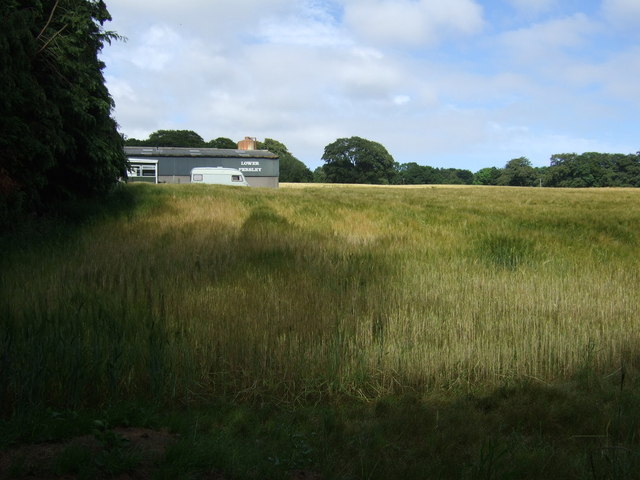
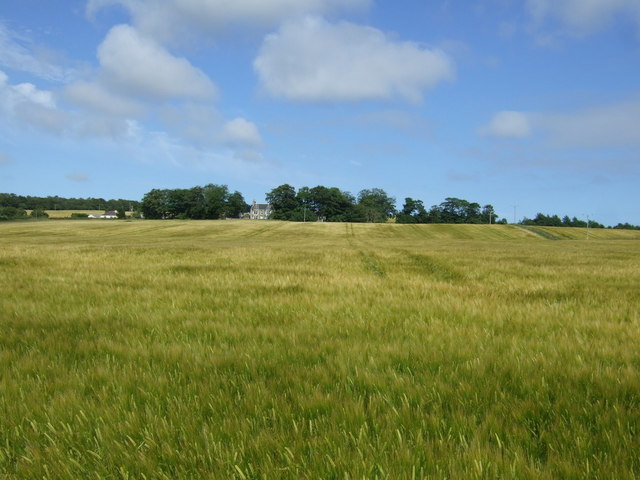
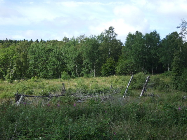
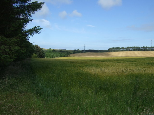
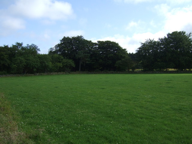
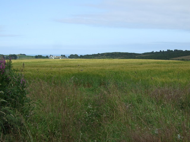
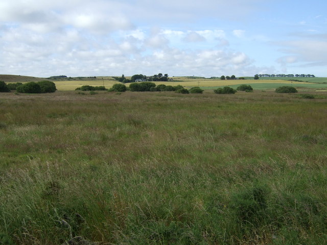
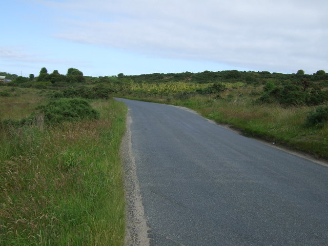
West Belt is a charming woodland located in Aberdeenshire, Scotland. It is known for its breathtaking beauty and serene atmosphere, making it a popular destination for nature enthusiasts and outdoor adventurers alike. The forest covers a vast area, providing visitors with ample opportunities to explore and immerse themselves in the tranquil surroundings.

The woodland in West Belt is predominantly composed of native Scottish trees, such as oak, birch, and pine, which create a diverse and vibrant ecosystem. The dense canopy of foliage provides a sheltered habitat for a wide variety of wildlife, including deer, squirrels, and numerous bird species. As a result, this forest is a haven for wildlife enthusiasts and birdwatchers, who can spot and observe these creatures in their natural habitats.

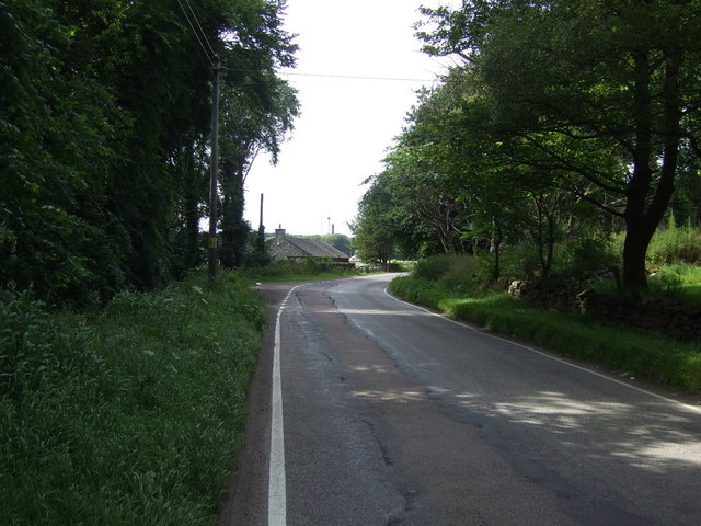
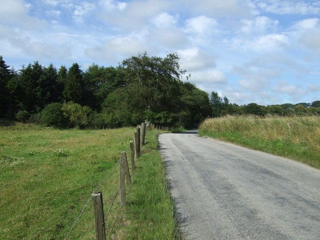
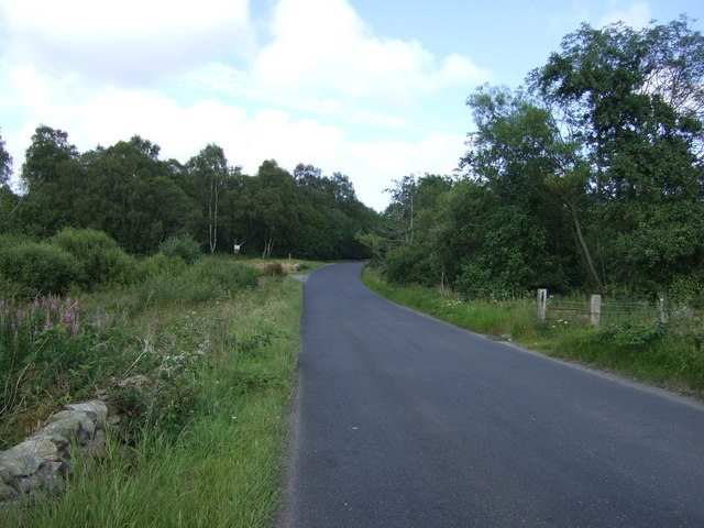
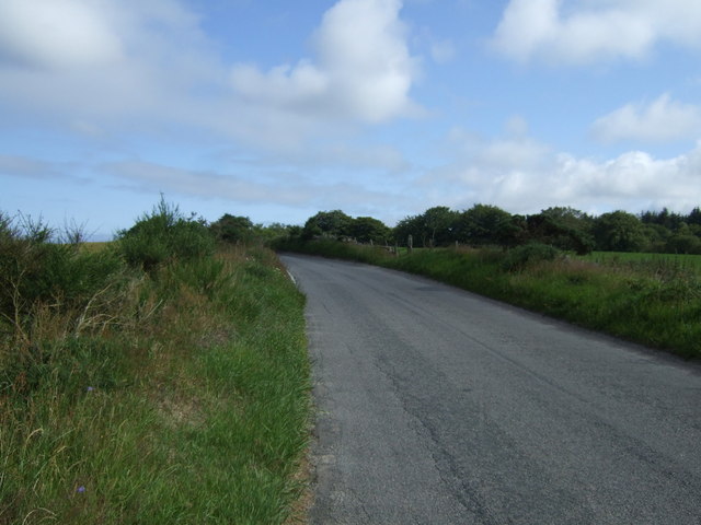
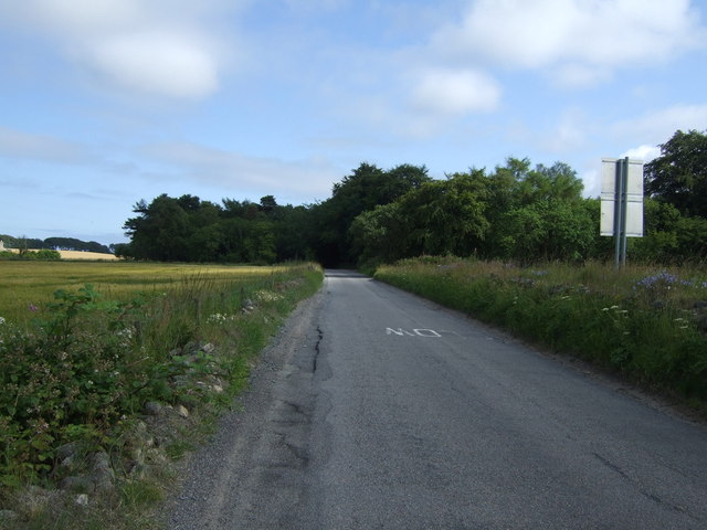
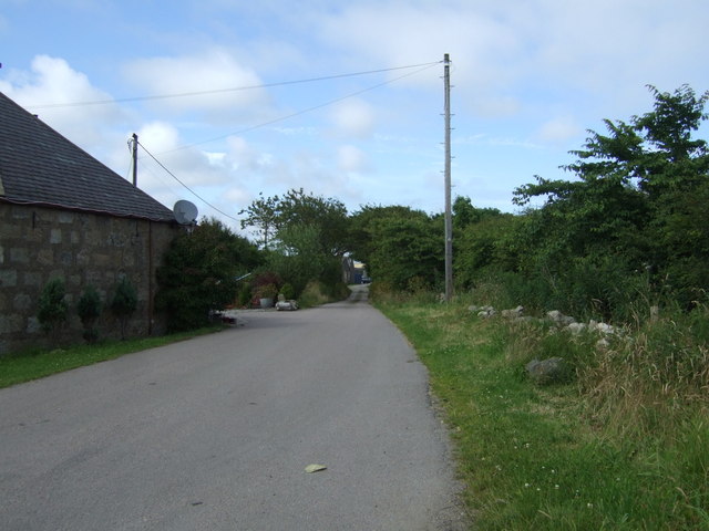
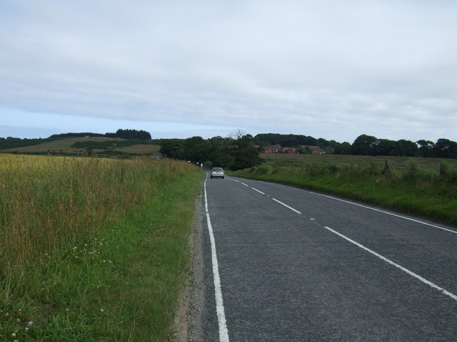
The forest is crisscrossed by a network of well-maintained trails, enabling visitors to navigate through the woodland with ease. These paths are suitable for both leisurely walks and more challenging hikes, catering to individuals of all fitness levels. Along the way, visitors can admire the scenic beauty of the forest, with its moss-covered rocks, babbling streams, and vibrant wildflowers that add a splash of color to the landscape.

West Belt also offers several picnic areas and rest spots, allowing visitors to take a break, relax, and soak in the peaceful ambiance of the woodland. The forest is a wonderful place for families to spend quality time together, enjoying outdoor activities such as picnicking, hiking, and wildlife spotting.

In conclusion, West Belt in Aberdeenshire is a captivating woodland that offers a rich and immersive experience for nature lovers. Its diverse flora and fauna, well-maintained trails, and tranquil atmosphere make it a must-visit destination for those seeking an escape into nature.

If you have any feedback on the listing, please let us know in the comments section below.

West Belt Images

Images are sourced within 2km of 57.191981/-2.1336441 or Grid Reference NJ9211. Thanks to Geograph Open Source API. All images are credited.

Bridge of Don Baptist Church Centre
Crop field, Lower Persley
Minor road, Lower Persley Heading north east.
Minor road, Lower Persley
Heading north east.
Crop field towards Cothill
Rural road heading north
Stoneyhill Wood
Stoneyhill Wood
Rural road beside Stoneyhill Wood Heading north east.
Rural road beside Stoneyhill Wood
Heading north east.
Crop field beside woodland Off Whitestripes Road.
Crop field beside woodland
Off Whitestripes Road.
Whitestripes Road Heading south east.
Whitestripes Road
Heading south east.
Farmland towards woodland Off Whitestripes Road.
Farmland towards woodland
Off Whitestripes Road.
Whitestripes Road Heading south east.
Whitestripes Road
Heading south east.
Crop field near Bodachra
B997 near Bodachra Heading south west towards Aberdeen.
B997 near Bodachra
Heading south west towards Aberdeen.
Crop field, Perwinnes
Track to Perwinnes
Track to Perwinnes
B997 towards Aberdeen  Heading south west.
B997 towards Aberdeen
Heading south west.
Rough grazing, Perwinnes Moss
Rural road heading east, Perwinnes Moss Towards Shielhill.
Rural road heading east, Perwinnes Moss
Towards Shielhill.
Show me another place!

West Belt is located at Grid Ref: NJ9211 (Lat: 57.191981, Lng: -2.1336441)

Unitary Authority: City of Aberdeen

Police Authority: North East

What 3 Words

///shops.moth.folds. Near Dyce, Aberdeen

Related Wikis

Danestone Congregational Church

Danestone Congregational Church is a Congregational Christian Church located in the Danestone community of the Bridge of Don suburb in Aberdeen, Scotland...

Danestone

Danestone is a small, village-like area of Aberdeen, Scotland, located next to the suburb of Bridge of Don. Located North of Aberdeen City Centre, Danestone...

Scotstown Moor

Scotstown Moor is in the north of Aberdeen, Scotland. Scotstown Moor Local Nature Reserve (LNR) is located four miles to the north of Aberdeen City Centre...

Bridge of Don Academy

Bridge of Don Academy is an Aberdeen City Council operated six-year secondary comprehensive school and community centre in Bridge of Don, Aberdeen, Scotland...

Aberdeen North (UK Parliament constituency)

Aberdeen North is a burgh constituency of the House of Commons of the Parliament of the United Kingdom and it elects one Member of Parliament (MP) by the...

Diamond Bridge

The Diamond Bridge, known during planning and construction as the Third Don Crossing, is a bridge across the River Don in Aberdeen, Scotland, which opened...

Woodside (Aberdeen) railway station

Woodside (Aberdeen) railway station served the parish of Woodside, Aberdeen, Scotland from 1858 to 1937 on the Great North of Scotland Railway. == History... ==

Bucks Burn

The Bucks Burn is a stream in Aberdeen which flows into the River Don. It lends its name to the former town of Bucksburn which is now part of Aberdeen...

Nearby Amenities

Located within 500m of 57.191981,-2.1336441
Direction: both
Surface: asphalt
Traffic Calming: cushion
Lat/Long: 57.1960067/-2.1319709
Noexit: yes
Lat/Long: 57.1946344/-2.1286091
Noexit: yes
Lat/Long: 57.191448/-2.1287398
Traffic Calming: hump
Lat/Long: 57.1893008/-2.1277273
Design: barrel
Power: tower
Source: Yahoo
Lat/Long: 57.1906522/-2.1377146
Design: barrel
Power: tower
Source: Yahoo
Lat/Long: 57.1930158/-2.139082
Crossing
Crossing: unmarked
Crossing Island: no
Crossing Markings: no
Tactile Paving: no
Lat/Long: 57.1899905/-2.1284701
Direction: both
Surface: asphalt
Traffic Calming: cushion
Lat/Long: 57.1940542/-2.1280356
Turning Circle
Turning Circle: circle
Lat/Long: 57.1879285/-2.1362485
Direction: both
Surface: asphalt
Traffic Calming: cushion
Lat/Long: 57.1937563/-2.1306801
Bus Stop
Middleton Circle
Bus: yes
Naptan AtcoCode: 639006031
Naptan CommonName: Middleton Circle
Naptan Indicator: at
Naptan NaptanCode: 23236429
Naptan Verified: no
Public Transport: platform
Shelter: no
Lat/Long: 57.1912077/-2.1268244
Bus Stop
Middleton Circle
Bus: yes
Naptan AtcoCode: 639005002
Naptan CommonName: Middleton Circle
Naptan Indicator: opp
Naptan NaptanCode: 23236435
Naptan Verified: no
Public Transport: platform
Shelter: yes
Lat/Long: 57.1913163/-2.126014
Direction: both
Surface: asphalt
Traffic Calming: cushion
Lat/Long: 57.1954591/-2.1316571
Grit Bin
Access: yes
Colour: yellow
Material: plastic
Lat/Long: 57.1953386/-2.1293539
Grit Bin
Access: yes
Colour: yellow
Material: plastic
Lat/Long: 57.1949203/-2.1311675
Direction: both
Surface: asphalt
Traffic Calming: cushion
Lat/Long: 57.1948398/-2.1312025
Waste Basket
Waste: dog_excrement
Lat/Long: 57.1945155/-2.1324107
Direction: both
Surface: asphalt
Traffic Calming: cushion
Lat/Long: 57.1936295/-2.1293759
Waste Basket
Waste: dog_excrement
Lat/Long: 57.1935581/-2.1278285
Direction: both
Surface: asphalt
Traffic Calming: cushion
Lat/Long: 57.194471/-2.1271893
Grit Bin
Access: yes
Colour: yellow
Material: plastic
Lat/Long: 57.1940603/-2.1281868
Post Box
Collection Times: Mo-Fr 09:00, Sa 07:00
Ref: AB22 634D
Royal Cypher: no
Lat/Long: 57.1916625/-2.1303395
Grit Bin
Access: yes
Colour: yellow
Material: plastic
Lat/Long: 57.191202/-2.1279982
Traffic Calming: hump
Lat/Long: 57.1886741/-2.1289444
Traffic Calming: hump
Lat/Long: 57.1883961/-2.1292327
Generator Method: photovoltaic
Generator Output Electricity: yes
Generator Source: solar
Generator Type: solar_photovoltaic_panel
Location: roof
Power: generator
Lat/Long: 57.1931536/-2.1292032
Generator Method: photovoltaic
Generator Output Electricity: yes
Generator Source: solar
Generator Type: solar_photovoltaic_panel
Location: roof
Power: generator
Lat/Long: 57.1916321/-2.1287794
Crossing
Button Operated: yes
Crossing: traffic_signals
Crossing Island: no
Crossing Markings: dots
Crossing Ref: toucan
Tactile Paving: yes
Lat/Long: 57.189206/-2.1292097
Crossing
Crossing: uncontrolled
Crossing Island: yes
Crossing Markings: no
Tactile Paving: no
Lat/Long: 57.18998/-2.1286696
Generator Method: photovoltaic
Generator Output Electricity: yes
Generator Source: solar
Generator Type: solar_photovoltaic_panel
Location: roof
Power: generator
Lat/Long: 57.1929916/-2.1328712
Generator Method: photovoltaic
Generator Output Electricity: yes
Generator Source: solar
Generator Type: solar_photovoltaic_panel
Location: roof
Power: generator
Lat/Long: 57.1909512/-2.125825
Grit Bin
Lat/Long: 57.1959154/-2.1300937
Grit Bin
Lat/Long: 57.1949513/-2.1322462
Direction: both
Surface: asphalt
Traffic Calming: cushion
Lat/Long: 57.1942181/-2.1311391
Grit Bin
Lat/Long: 57.1942901/-2.1288311
Generator Method: photovoltaic
Generator Output Electricity: yes
Generator Source: solar
Generator Type: solar_photovoltaic_panel
Location: roof
Power: generator
Lat/Long: 57.1926123/-2.1326418
Crossing
Crossing: unmarked
Crossing Island: no
Crossing Markings: no
Traffic Calming: choker
Lat/Long: 57.190232/-2.1325017
Crossing: unmarked
Crossing Island: no
Tactile Paving: yes
Traffic Calming: choker
Lat/Long: 57.1906694/-2.1335382
Man Made: mast
Tower Construction: lattice
Tower Type: communication
Lat/Long: 57.1930526/-2.1376643
Noexit: yes
Lat/Long: 57.1914217/-2.1287844
Crossing
Crossing: unmarked
Crossing Island: no
Lat/Long: 57.1903667/-2.1339061
Noexit: yes
Lat/Long: 57.1909331/-2.1347485
Crossing
Crossing: unmarked
Crossing Island: no
Tactile Paving: yes
Traffic Calming: choker
Lat/Long: 57.1905213/-2.135949
Crossing
Crossing: unmarked
Crossing Island: no
Crossing Markings: no
Tactile Paving: no
Lat/Long: 57.1901387/-2.1282993
Noexit: yes
Lat/Long: 57.1911705/-2.138194
Turning Circle
Turning Circle: square
Lat/Long: 57.1895257/-2.1342145
Crossing
Crossing: unmarked
Crossing Island: no
Tactile Paving: yes
Traffic Calming: choker
Lat/Long: 57.1879765/-2.1322521
Noexit: yes
Lat/Long: 57.1910602/-2.1379184
Give Way
Direction: backward
Lat/Long: 57.1899567/-2.128601
Direction: 290
Maxspeed: 30 mph
Traffic Sign: maxspeed
Lat/Long: 57.1934097/-2.1390485
Direction: 110
Maxspeed: implicit
Traffic Sign: maxspeed
Lat/Long: 57.1933294/-2.1390644
Give Way
Direction: forward
Lat/Long: 57.1907651/-2.1276235
Crossing
Crossing: unmarked
Crossing Island: no
Tactile Paving: yes
Lat/Long: 57.1882487/-2.1352684
Crossing
Crossing: uncontrolled
Crossing Island: no
Crossing Markings: no
Direction: both
Surface: paving_stones
Tactile Paving: yes
Traffic Calming: table
Lat/Long: 57.1885067/-2.1336468
Crossing
Crossing: uncontrolled
Crossing Island: no
Crossing Markings: no
Direction: both
Surface: asphalt
Tactile Paving: yes
Traffic Calming: table
Lat/Long: 57.1886076/-2.1307661
Crossing
Crossing: uncontrolled
Crossing Island: no
Crossing Markings: no
Direction: both
Surface: asphalt
Tactile Paving: yes
Traffic Calming: table
Lat/Long: 57.1886846/-2.1313624
Give Way
Direction: forward
Lat/Long: 57.1884854/-2.1299751
Crossing
Crossing: uncontrolled
Crossing Island: no
Crossing Markings: no
Direction: both
Surface: paving_stones
Tactile Paving: yes
Traffic Calming: table
Lat/Long: 57.188574/-2.1329779
Crossing
Crossing: uncontrolled
Crossing Island: no
Crossing Markings: no
Direction: both
Surface: asphalt
Tactile Paving: yes
Traffic Calming: table
Lat/Long: 57.1885088/-2.1323784
Barrier: cycle_barrier
Lat/Long: 57.1908611/-2.1315079
Crossing
Crossing: uncontrolled
Crossing Island: yes
Crossing Markings: no
Tactile Paving: yes
Lat/Long: 57.1884939/-2.1300575
Barrier: cycle_barrier
Lat/Long: 57.1906215/-2.1335965
Barrier: cycle_barrier
Lat/Long: 57.190411/-2.1338522
Crossing
Crossing: unmarked
Crossing Island: no
Kerb: flush
Tactile Paving: yes
Lat/Long: 57.1903592/-2.1353761
Crossing
Crossing: unmarked
Crossing Island: no
Kerb: flush
Tactile Paving: no
Lat/Long: 57.1903585/-2.1352032
Crossing
Crossing: unmarked
Crossing Island: no
Kerb: flush
Tactile Paving: yes
Lat/Long: 57.188543/-2.1326823
Crossing
Crossing: unmarked
Crossing Island: no
Kerb: flush
Tactile Paving: no
Lat/Long: 57.1882336/-2.132399
Crossing
Crossing: unmarked
Crossing Island: no
Kerb: flush
Tactile Paving: no
Lat/Long: 57.1882441/-2.132271
The data included in this document is from www.openstreetmap.org. The data is made available under ODbL.

Have you been to West Belt?

Leave your review of West Belt below (or comments, questions and feedback).