Carrot Belt

Wood, Forest in Aberdeenshire

Scotland

Carrot Belt

Bridge of Don Baptist Church Centre
Bridge of Don Baptist Church Centre Credit: Alex McGregor

Carrot Belt is a small woodland area located in Aberdeenshire, Scotland. Nestled amidst the picturesque countryside, this forested region is known for its abundant growth of carrot trees. The name "Carrot Belt" aptly describes the belt-like formation of these trees, which stretch across the landscape, creating a unique and vibrant sight.

The forest is primarily composed of a variety of evergreen and deciduous trees, with the carrot trees being the most prominent. These trees are characterized by their tall stature, reaching heights of up to 30 meters, and their slender trunks. The foliage of the carrot trees is lush and dense, providing a rich canopy that shades the forest floor.

Carrot Belt offers a tranquil and peaceful environment, making it a popular destination for nature enthusiasts and hikers. The well-maintained trails wind through the forest, allowing visitors to explore the beauty of the woodland and enjoy the fresh, crisp air. The forest is also home to a diverse range of wildlife, including various bird species, small mammals, and insects.

In addition to its natural beauty, Carrot Belt is also of historical and cultural significance. It is believed that the forest has been in existence for centuries, with records dating back to medieval times. Local folklore and legends are associated with the forest, adding an air of mystique and intrigue to the area.

Carrot Belt, Aberdeenshire, with its stunning carrot trees, serene atmosphere, and historical charm, is a hidden gem in the Scottish countryside, attracting visitors from near and far.

If you have any feedback on the listing, please let us know in the comments section below.

Carrot Belt Images

Images are sourced within 2km of 57.197352/-2.1251575 or Grid Reference NJ9211. Thanks to Geograph Open Source API. All images are credited.

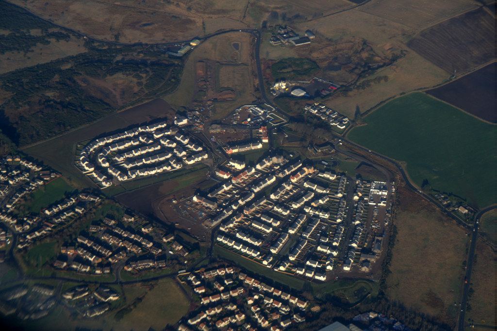
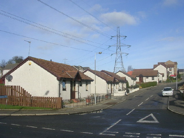
Bridge of Don Baptist Church Centre
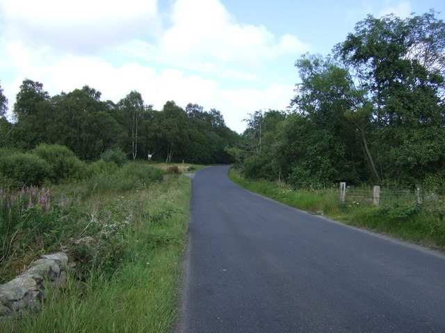
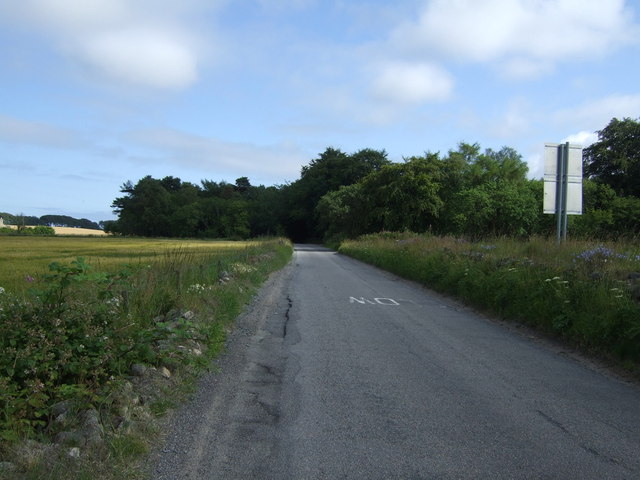
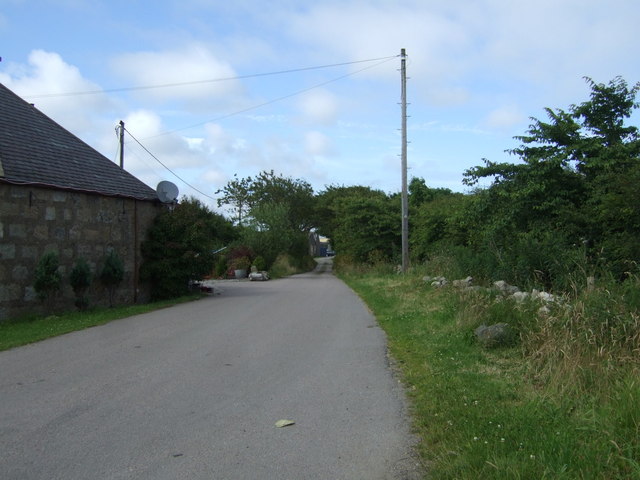
Rural road beside Stoneyhill Wood Heading north east.
Rural road beside Stoneyhill Wood
Heading north east.
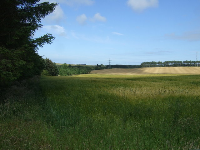
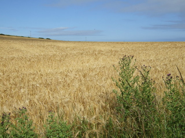
Crop field beside woodland Off Whitestripes Road.
Crop field beside woodland
Off Whitestripes Road.
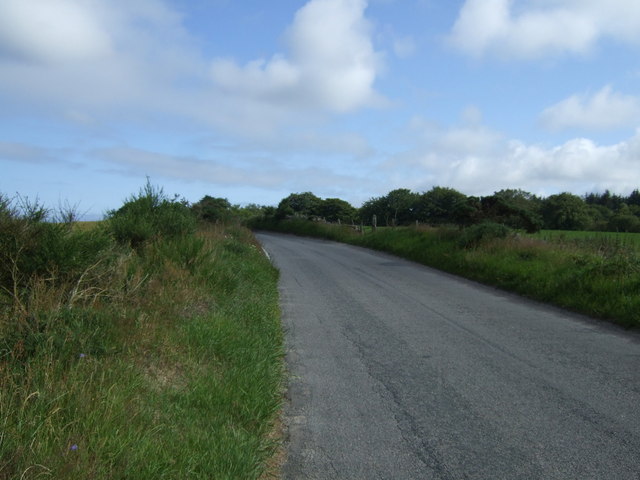
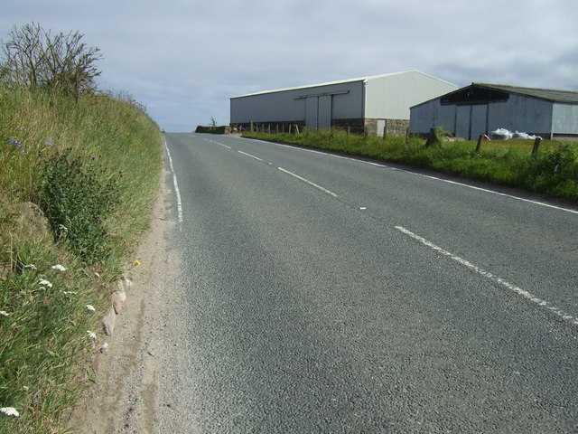
Whitestripes Road Heading south east.
Whitestripes Road
Heading south east.
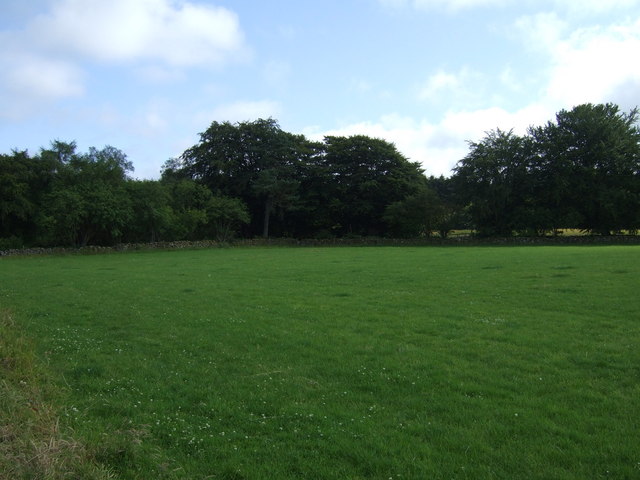
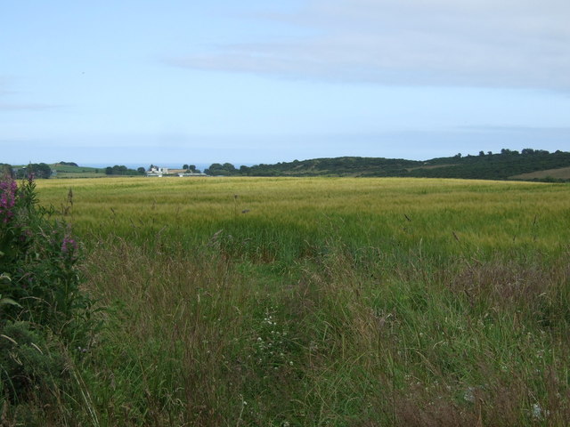
Farmland towards woodland Off Whitestripes Road.
Farmland towards woodland
Off Whitestripes Road.
Whitestripes Road Heading south east.
Whitestripes Road
Heading south east.
Farmland off the B977 Towards Hillhead Radar Station.
Farmland off the B977
Towards Hillhead Radar Station.
Track to Hillhead Off the B997.
Track to Hillhead
Off the B997.
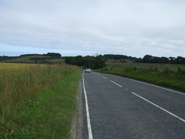
B997 towards Aberdeen Heading south west.
B997 towards Aberdeen
Heading south west.
Crop field near Bodachra
B997 near Bodachra Heading south west towards Aberdeen.
B997 near Bodachra
Heading south west towards Aberdeen.
Crop field, Perwinnes
Track to Perwinnes
Track to Perwinnes
B997 towards Aberdeen  Heading south west.
B997 towards Aberdeen
Heading south west.
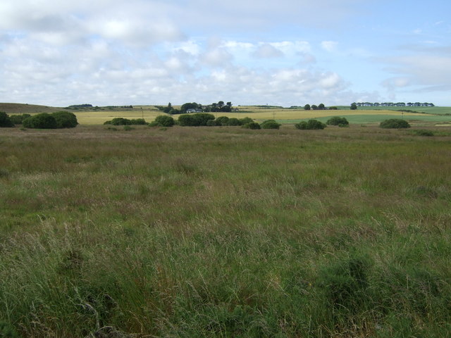
Rough grazing, Perwinnes Moss
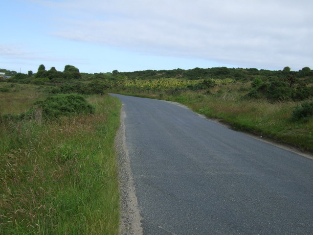
Rural road heading east, Perwinnes Moss Towards Shielhill.
Rural road heading east, Perwinnes Moss
Towards Shielhill.
Minor road heading north  Towards Newtonhill.
Minor road heading north
Towards Newtonhill.
Farmland south of Mundurno East of the B999.
Farmland south of Mundurno
East of the B999.
Show me another place!

Carrot Belt is located at Grid Ref: NJ9211 (Lat: 57.197352, Lng: -2.1251575)

Unitary Authority: City of Aberdeen

Police Authority: North East

What 3 Words

///slate.zooms.boost. Near Dyce, Aberdeen

Related Wikis

Scotstown Moor

Scotstown Moor is in the north of Aberdeen, Scotland. Scotstown Moor Local Nature Reserve (LNR) is located four miles to the north of Aberdeen City Centre...

Dubford, Aberdeen

Dubford is a housing estate of approximately 550 homes, north of Denmore within the Bridge of Don suburb in the north of Aberdeen, Scotland. Dubford takes...

Bridge of Don Academy

Bridge of Don Academy is an Aberdeen City Council operated six-year secondary comprehensive school and community centre in Bridge of Don, Aberdeen, Scotland...

Danestone Congregational Church

Danestone Congregational Church is a Congregational Christian Church located in the Danestone community of the Bridge of Don suburb in Aberdeen, Scotland...

Hermes F.C.

Hermes Junior Football Club are a Scottish football club from Bridge of Don, an area of the city of Aberdeen. Founded in 1968 by pupils of Robert Gordon...

Hall Russell United F.C.

Hall Russell United Football Club are a Scottish football club based in Bridge of Don, a suburb of Aberdeen. Members of the Scottish Junior Football Association...

Danestone

Danestone is a small, village-like area of Aberdeen, Scotland, located next to the suburb of Bridge of Don. Located North of Aberdeen City Centre, Danestone...

Bridge of Don

Bridge of Don is a suburb in the north of Aberdeen, Scotland. In 2020, the Bridge of Don electoral ward was estimated to have a population of 19,545.Bridge...

Nearby Amenities

Located within 500m of 57.197352,-2.1251575
Crossing
Crossing: unmarked
Crossing Island: yes
Crossing Markings: no
Tactile Paving: no
Lat/Long: 57.196989/-2.1274135
Turning Circle
Lat/Long: 57.1989765/-2.1218234
Direction: both
Surface: asphalt
Traffic Calming: cushion
Lat/Long: 57.1969803/-2.1290293
Direction: both
Surface: asphalt
Traffic Calming: cushion
Lat/Long: 57.1972021/-2.1306705
Direction: both
Surface: asphalt
Traffic Calming: cushion
Lat/Long: 57.1967215/-2.1317128
Direction: both
Surface: asphalt
Traffic Calming: cushion
Lat/Long: 57.1960067/-2.1319709
Noexit: yes
Lat/Long: 57.1946344/-2.1286091
Turning Circle
Source: Bing
Lat/Long: 57.1987154/-2.1288229
Turning Circle
Source: Bing
Lat/Long: 57.1987209/-2.1277091
Direction: both
Surface: asphalt
Traffic Calming: cushion
Lat/Long: 57.1950902/-2.1265161
Direction: both
Surface: asphalt
Traffic Calming: cushion
Lat/Long: 57.1951787/-2.1260445
Direction: both
Surface: asphalt
Traffic Calming: cushion
Lat/Long: 57.1940542/-2.1280356
Ashwood
Place: neighbourhood
Lat/Long: 57.1996397/-2.1261251
Bus Stop
Ashwood Drive
Bench: no
Bin: no
Bus: yes
Departures Board: timetable
Lit: yes
Naptan AtcoCode: 639005391
Naptan CommonName: Ashwood Drive
Naptan Indicator: opp
Naptan NaptanCode: 23236492
Naptan Verified: no
Public Transport: platform
Shelter: no
Lat/Long: 57.1989619/-2.1249147
Bus Stop
Lee Crescent
Bus: yes
Naptan AtcoCode: 639005382
Naptan CommonName: Lee Crescent
Naptan Indicator: adj
Naptan NaptanCode: 23236484
Naptan Verified: no
Public Transport: platform
Shelter: yes
Lat/Long: 57.1956104/-2.1256977
Bus Stop
Lee Crescent North
Bench: no
Bin: no
Bus: yes
Departures Board: timetable
Lit: yes
Naptan AtcoCode: 639005381
Naptan CommonName: Lee Crescent North
Naptan Indicator: at
Naptan NaptanCode: 23236486
Naptan Verified: no
Public Transport: platform
Shelter: no
Lat/Long: 57.1976647/-2.1277332
Bus Stop
Woodcroft Road
Bench: no
Bus: yes
Departures Board: timetable
Naptan AtcoCode: 639005392
Naptan CommonName: Woodcroft Road
Naptan Indicator: at
Naptan NaptanCode: 23236489
Naptan Verified: no
Public Transport: platform
Shelter: yes
Lat/Long: 57.1988133/-2.1253897
Bus Stop
Lee Crescent North
Bench: no
Bin: yes
Bus: yes
Departures Board: no
Naptan AtcoCode: 639005031
Naptan CommonName: Lee Crescent North
Naptan Indicator: opp
Naptan NaptanCode: 23236593
Naptan Verified: no
Public Transport: platform
Shelter: yes
Lat/Long: 57.1973349/-2.1272439
Bus Stop
Lee Crescent
Bench: no
Bin: no
Bus: yes
Departures Board: timetable
Lit: yes
Naptan AtcoCode: 639005022
Naptan CommonName: Lee Crescent
Naptan Indicator: at
Naptan NaptanCode: 23236469
Naptan Verified: no
Public Transport: platform
Shelter: no
Lat/Long: 57.1946675/-2.1254628
Bus Stop
Lee Crescent
Bench: yes
Bin: yes
Bus: yes
Departures Board: timetable
Lit: yes
Naptan AtcoCode: 639005021
Naptan CommonName: Lee Crescent
Naptan Indicator: opp
Naptan NaptanCode: 23236468
Naptan Verified: no
Public Transport: platform
Shelter: yes
Lat/Long: 57.1944272/-2.1251881
Bus Stop
Ashwood Park
Bench: yes
Bin: no
Bus: yes
Departures Board: no
Lit: yes
Naptan AtcoCode: 639005401
Naptan CommonName: Ashwood Park
Naptan Indicator: opp
Naptan NaptanCode: 23236494
Naptan Verified: no
Public Transport: platform
Shelter: yes
Tactile Paving: no
Wheelchair: yes
Lat/Long: 57.1989468/-2.1222474
Noexit: yes
Lat/Long: 57.1961195/-2.124932
Crossing
Crossing: uncontrolled
Crossing Island: yes
Crossing Markings: no
Tactile Paving: yes
Lat/Long: 57.1934863/-2.1249309
Post Box
Addr Postcode: AB22 8FG
Colour: red
Lat/Long: 57.1947902/-2.1255522
Grit Bin
Access: yes
Colour: yellow
Material: plastic
Lat/Long: 57.1952837/-2.1255273
Crossing
Crossing: uncontrolled
Crossing Island: yes
Crossing Markings: no
Tactile Paving: no
Lat/Long: 57.195521/-2.1257136
Grit Bin
Access: yes
Colour: yellow
Material: plastic
Lat/Long: 57.1959904/-2.1263229
Waste Basket
Colour: black
Waste: trash
Lat/Long: 57.1967704/-2.1257273
Direction: both
Surface: asphalt
Traffic Calming: bump
Lat/Long: 57.196644/-2.1248831
Grit Bin
Access: yes
Colour: yellow
Material: plastic
Lat/Long: 57.1964922/-2.1237813
Grit Bin
Access: yes
Colour: yellow
Material: plastic
Lat/Long: 57.1960512/-2.1235095
Grit Bin
Access: yes
Colour: yellow
Material: plastic
Lat/Long: 57.1961418/-2.1247236
Communication Mobile Phone: yes
Man Made: mast
Tower Type: communication
Lat/Long: 57.1976289/-2.1275256
Waste Basket
Waste: dog_excrement
Lat/Long: 57.197738/-2.1274626
Grit Bin
Access: yes
Colour: yellow
Material: plastic
Lat/Long: 57.2004969/-2.1212169
Waste Basket
Waste: dog_excrement
Lat/Long: 57.2010346/-2.129129
Colour: gray
Man Made: street_cabinet
Utility: telecom
Lat/Long: 57.1987153/-2.125964
Colour: green
Man Made: street_cabinet
Utility: telecom
Lat/Long: 57.1986971/-2.1260405
Post Box
Lat/Long: 57.1988213/-2.1252064
Door: double
Entrance: main
Lat/Long: 57.1994059/-2.1221742
Grit Bin
Access: yes
Colour: yellow
Material: plastic
Lat/Long: 57.1992098/-2.1225348
Waste Basket
Waste: dog_excrement
Lat/Long: 57.1989826/-2.1236159
Grit Bin
Access: yes
Colour: yellow
Material: plastic
Lat/Long: 57.1969309/-2.1290247
Direction: both
Surface: asphalt
Traffic Calming: cushion
Lat/Long: 57.1971207/-2.1280299
Waste Basket
Waste: dog_excrement
Lat/Long: 57.196625/-2.1289815
Direction: both
Surface: asphalt
Traffic Calming: cushion
Lat/Long: 57.1954591/-2.1316571
Grit Bin
Access: yes
Colour: yellow
Material: plastic
Lat/Long: 57.1953386/-2.1293539
Grit Bin
Access: yes
Colour: yellow
Material: plastic
Lat/Long: 57.1949203/-2.1311675
Direction: both
Surface: asphalt
Traffic Calming: cushion
Lat/Long: 57.1948398/-2.1312025
Direction: both
Surface: asphalt
Traffic Calming: cushion
Lat/Long: 57.1936295/-2.1293759
Waste Basket
Waste: dog_excrement
Lat/Long: 57.1935581/-2.1278285
Direction: both
Surface: asphalt
Traffic Calming: cushion
Lat/Long: 57.194471/-2.1271893
Grit Bin
Access: yes
Colour: yellow
Material: plastic
Lat/Long: 57.1940603/-2.1281868
Direction: both
Surface: asphalt
Traffic Calming: cushion
Lat/Long: 57.1947703/-2.126891
Generator Method: photovoltaic
Generator Output Electricity: yes
Generator Source: solar
Generator Type: solar_photovoltaic_panel
Location: roof
Power: generator
Lat/Long: 57.1958006/-2.1221557
Generator Method: photovoltaic
Generator Output Electricity: yes
Generator Source: solar
Generator Type: solar_photovoltaic_panel
Location: roof
Power: generator
Lat/Long: 57.1946286/-2.1195942
Generator Method: photovoltaic
Generator Output Electricity: yes
Generator Source: solar
Generator Type: solar_photovoltaic_panel
Location: roof
Power: generator
Lat/Long: 57.1941331/-2.1203144
Generator Method: photovoltaic
Generator Output Electricity: yes
Generator Source: solar
Generator Type: solar_photovoltaic_panel
Location: roof
Power: generator
Lat/Long: 57.1946439/-2.1207771
Grit Bin
Lat/Long: 57.1959154/-2.1300937
Direction: both
Surface: asphalt
Traffic Calming: cushion
Lat/Long: 57.1970823/-2.1297504
Generator Method: photovoltaic
Generator Output Electricity: yes
Generator Source: solar
Generator Type: solar_photovoltaic_panel
Location: roof
Power: generator
Lat/Long: 57.2011173/-2.1276288
Generator Method: photovoltaic
Generator Output Electricity: yes
Generator Source: solar
Generator Type: solar_photovoltaic_panel
Location: roof
Power: generator
Lat/Long: 57.1984453/-2.1275188
Generator Method: photovoltaic
Generator Output Electricity: yes
Generator Source: solar
Generator Type: solar_photovoltaic_panel
Location: roof
Power: generator
Lat/Long: 57.1982186/-2.1287942
Generator Method: photovoltaic
Generator Output Electricity: yes
Generator Source: solar
Generator Type: solar_photovoltaic_panel
Location: roof
Power: generator
Lat/Long: 57.1992524/-2.1302319
Generator Method: photovoltaic
Generator Output Electricity: yes
Generator Source: solar
Generator Type: solar_photovoltaic_panel
Location: roof
Power: generator
Lat/Long: 57.1988223/-2.1227096
Generator Method: photovoltaic
Generator Output Electricity: yes
Generator Source: solar
Generator Type: solar_photovoltaic_panel
Location: roof
Power: generator
Lat/Long: 57.1976512/-2.1235156
Generator Method: photovoltaic
Generator Output Electricity: yes
Generator Source: solar
Generator Type: solar_photovoltaic_panel
Location: roof
Power: generator
Lat/Long: 57.1992546/-2.1233185
Grit Bin
Lat/Long: 57.1942901/-2.1288311
Fast Food
Sea, Salt & Sole
Addr City: Aberdeen
Addr Postcode: AB22 8UR
Addr Street: Jesmond Drive
Addr Unit: Unit 5
Cuisine: fish_and_chips
Delivery: yes
Fhrs Authority: Aberdeen City
Fhrs Id: 1136846
Fhrs Local Authority Id: EHDC12962
Note: Company wbsite lists street as Jesmond Grange, FHRS has it as Jesmond Drive. Post code is for Jesmond Drive
Opening Hours: Tu-Su 16:00-20:00
Phone: +44 1224 703337
Website: https://www.seasaltandsole.co.uk/
Lat/Long: 57.1960602/-2.1255069
Scotmid
Addr City: Aberdeen
Addr Housenumber: 2
Addr Postcode: AB22 8UR
Addr Street: Jesmond Drive
Addr Unit: Unit 1a
Brand: Scotmid
Brand Wikidata: Q7435719
Brand Wikipedia: en:Scotmid
Fhrs Authority: Aberdeen City
Fhrs Id: 1347358
Fhrs Local Authority Id: 1720
Shop: convenience
Lat/Long: 57.1963376/-2.1258102
Noexit: yes
Lat/Long: 57.1966787/-2.1237673
Give Way
Direction: backward
Lat/Long: 57.1952239/-2.1256544
Give Way
Direction: backward
Lat/Long: 57.1931272/-2.1248362
The data included in this document is from www.openstreetmap.org. The data is made available under ODbL.

Have you been to Carrot Belt?

Leave your review of Carrot Belt below (or comments, questions and feedback).