Middleton Park
Settlement in Aberdeenshire
Scotland
Middleton Park

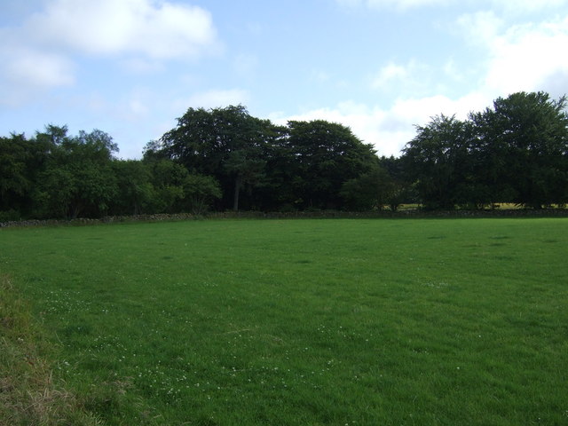
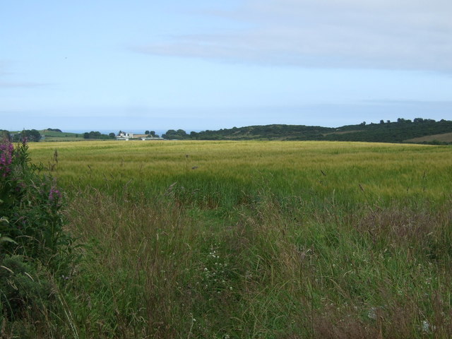
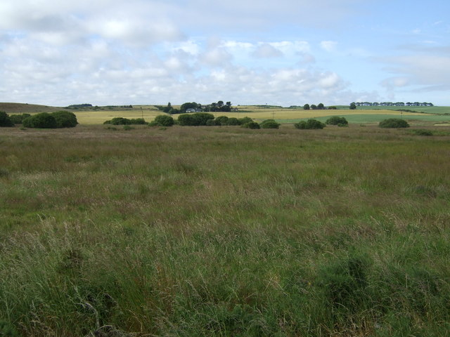
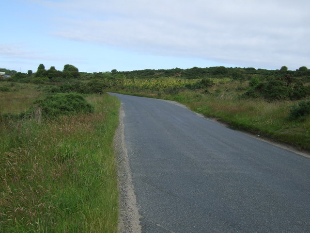
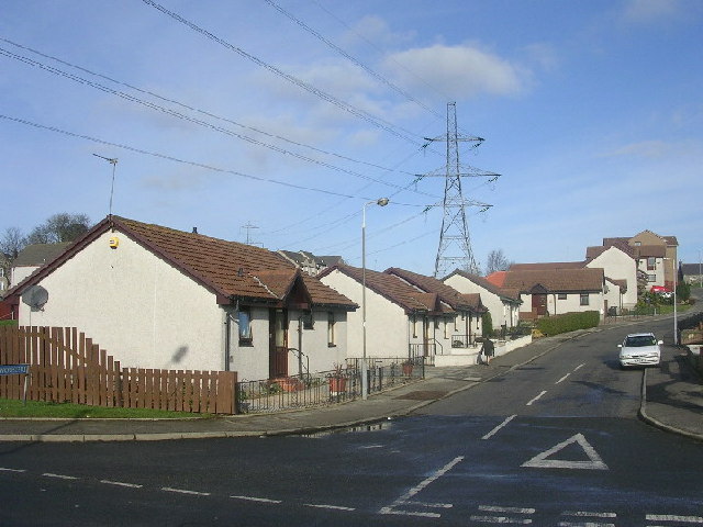
Middleton Park is a picturesque rural estate located in Aberdeenshire, Scotland. Nestled amidst the rolling hills and lush greenery, the park covers an expansive area of approximately 500 acres. The park is renowned for its stunning natural beauty and is a popular destination for locals and tourists alike.
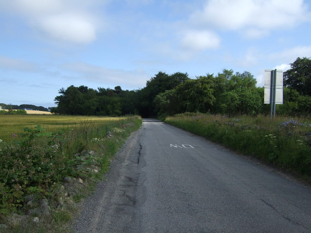
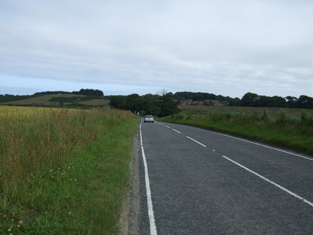
The park offers a plethora of outdoor activities and amenities to cater to the varied interests of its visitors. There are well-maintained walking and cycling trails that wind through the park, providing the perfect opportunity for nature enthusiasts to explore the diverse flora and fauna. The park also boasts a large lake, where visitors can enjoy boating and fishing.
For those seeking a more relaxed experience, Middleton Park offers several picnic spots with scenic views, allowing visitors to unwind and soak in the tranquil surroundings. Additionally, there are ample seating areas and well-manicured gardens for visitors to relax and enjoy a peaceful day out.
The park is also home to a wide range of wildlife, including deer, rabbits, and various bird species, making it a haven for nature lovers and wildlife enthusiasts. Birdwatchers have the opportunity to spot rare and migratory birds in the park.
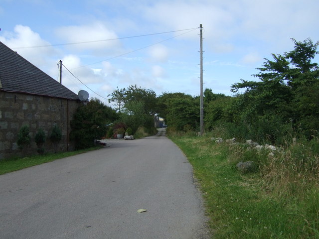
Middleton Park is well-equipped with visitor facilities, including ample parking spaces, toilets, and a visitor center that provides information about the park's history and attractions. The park also hosts regular events and activities, such as guided nature walks and educational programs for children.
Overall, Middleton Park is a gem in Aberdeenshire, offering a serene escape from the hustle and bustle of city life, and providing visitors with a chance to immerse themselves in the beauty of nature.
If you have any feedback on the listing, please let us know in the comments section below.
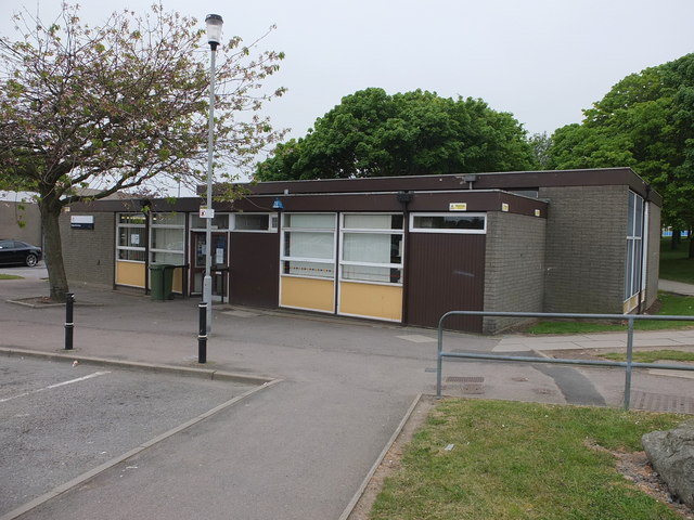
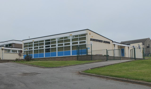
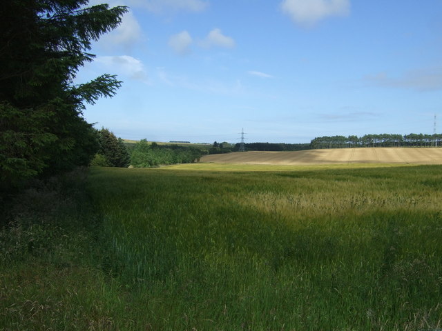
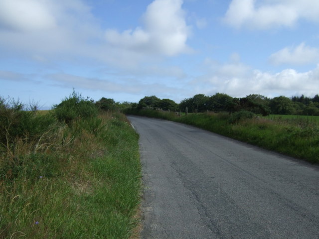
Middleton Park Images
Images are sourced within 2km of 57.193149/-2.1247627 or Grid Reference NJ9211. Thanks to Geograph Open Source API. All images are credited.

Middleton Park is located at Grid Ref: NJ9211 (Lat: 57.193149, Lng: -2.1247627)
Unitary Authority: City of Aberdeen
Police Authority: North East
What 3 Words
///dates.wiring.moves. Near Dyce, Aberdeen
Nearby Locations
Related Wikis

Scotstown Moor
Scotstown Moor is in the north of Aberdeen, Scotland. Scotstown Moor Local Nature Reserve (LNR) is located four miles to the north of Aberdeen City Centre...

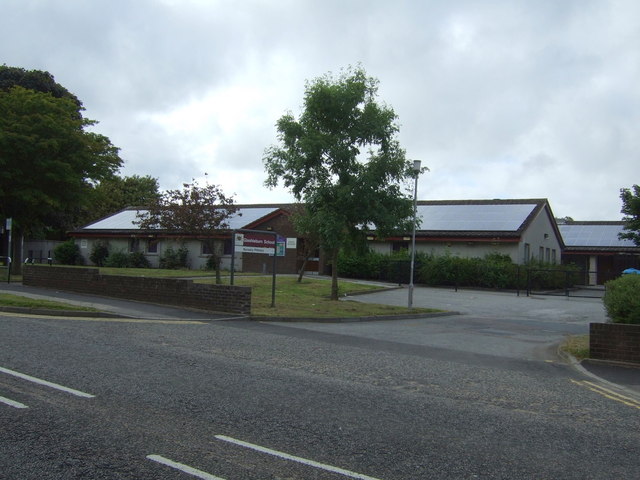
Bridge of Don Academy
Bridge of Don Academy is an Aberdeen City Council operated six-year secondary comprehensive school and community centre in Bridge of Don, Aberdeen, Scotland...

Danestone Congregational Church
Danestone Congregational Church is a Congregational Christian Church located in the Danestone community of the Bridge of Don suburb in Aberdeen, Scotland...
Danestone
Danestone is a small, village-like area of Aberdeen, Scotland, located next to the suburb of Bridge of Don. Located North of Aberdeen City Centre, Danestone...
Nearby Amenities
Located within 500m of 57.193149,-2.1247627Have you been to Middleton Park?
Leave your review of Middleton Park below (or comments, questions and feedback).