Sparrow Brae

Wood, Forest in Berwickshire

Scotland

Sparrow Brae

Foulden Tithe Barn It actually seems to be a bit of a guess that this is a tithe barn, but it's right by a church so the current thinking is that's what it was. An Historic Scotland property
Foulden Tithe Barn Credit: Kirsty Smith

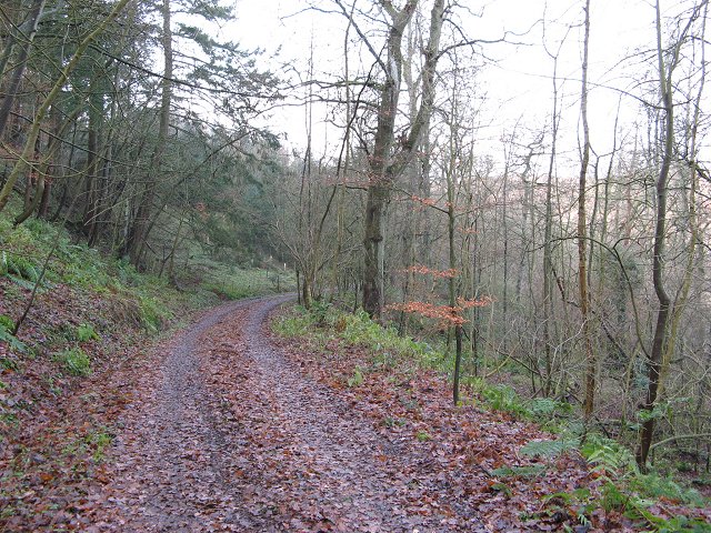
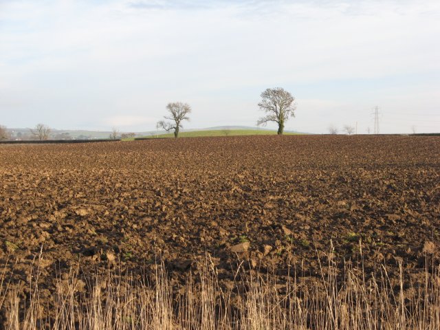
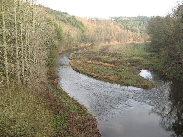
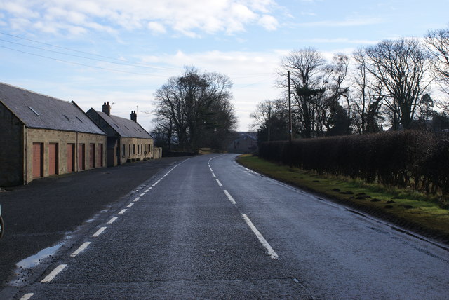
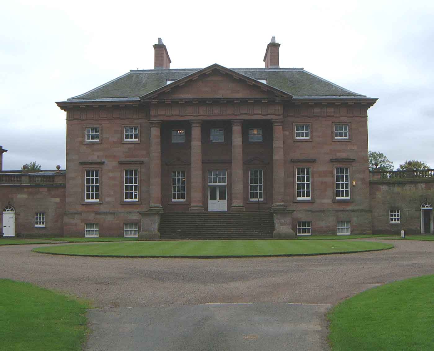
Sparrow Brae is a picturesque woodland located in the county of Berwickshire, Scotland. Nestled amidst the stunning natural beauty of the Scottish Borders, it offers a serene and tranquil escape for nature lovers and outdoor enthusiasts alike. The woodland is characterized by its dense and ancient trees, creating a lush and vibrant canopy that provides shade and shelter to a myriad of wildlife.

Covering an area of approximately 50 acres, Sparrow Brae is home to a diverse range of plant and animal species. The woodland boasts a rich and varied ecosystem, with a plethora of bird species, such as sparrows, thrushes, and woodpeckers, making it an ideal spot for birdwatching. Additionally, the woodland is inhabited by mammals including badgers, foxes, and roe deer, adding to its natural charm.

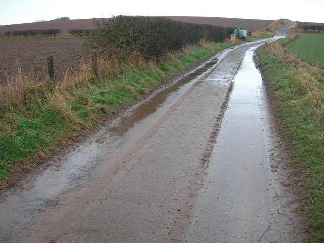
Visitors to Sparrow Brae can enjoy a network of well-maintained walking trails that wind through the forest, allowing them to fully immerse themselves in the natural surroundings. The paths are adorned with wildflowers and offer breathtaking views of the surrounding countryside. Whether one seeks a leisurely stroll or a more challenging hike, Sparrow Brae caters to all levels of fitness and interest.

Sparrow Brae also provides an excellent opportunity for educational visits and nature study. Local schools often organize trips to introduce students to the wonders of the woodland environment, fostering a sense of appreciation and understanding of the natural world.

Overall, Sparrow Brae in Berwickshire is a haven for nature enthusiasts, offering an enchanting experience in the heart of the Scottish countryside.

If you have any feedback on the listing, please let us know in the comments section below.
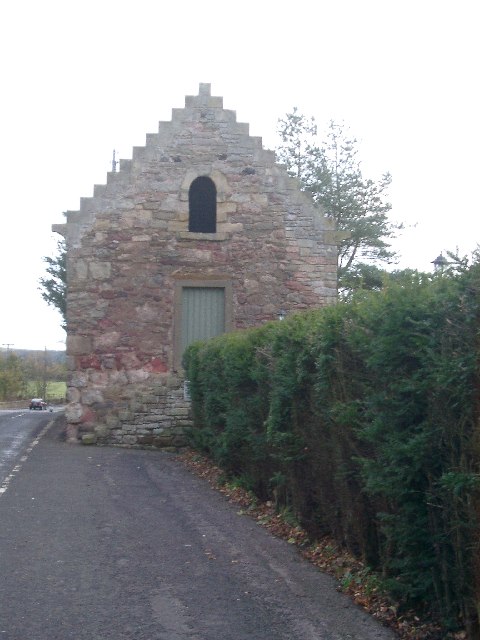
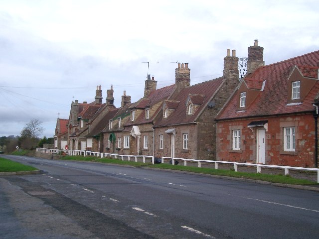
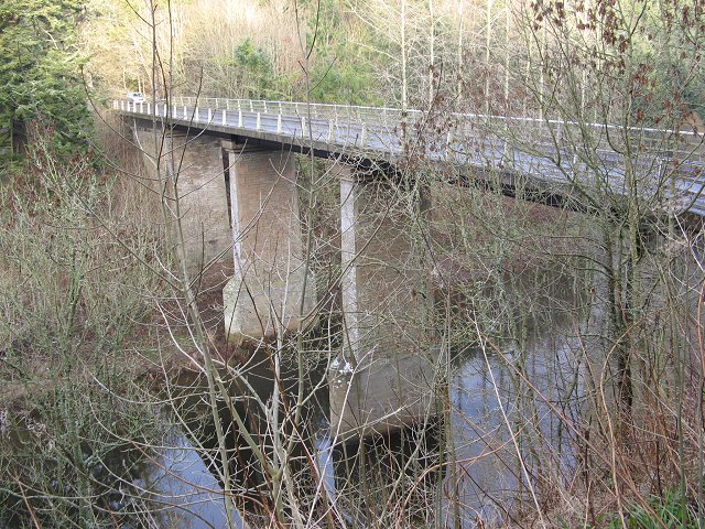
Sparrow Brae Images

Images are sourced within 2km of 55.785912/-2.1294351 or Grid Reference NT9154. Thanks to Geograph Open Source API. All images are credited.

Foulden Tithe Barn It actually seems to be a bit of a guess that this is a tithe barn, but it's right by a church so the current thinking is that's what it was. An Historic Scotland property
Foulden Tithe Barn
It actually seems to be a bit of a guess that this is a tithe barn, but it's right by a church so the current thinking is that's what it was. An Historic Scotland property
Foulden Village taken close to the war memorial, these houses look down the hill towards Paxton and England
Foulden Village
taken close to the war memorial, these houses look down the hill towards Paxton and England
Church of Scotland, Paxton
The approach to Hutton from the South The village name is carved on this large boulder.
The approach to Hutton from the South
The village name is carved on this large boulder.
Pasture field Viewed from a minor road near Hutton Mains.
Pasture field
Viewed from a minor road near Hutton Mains.
The village of Hutton This is the Southern end of the village.
The village of Hutton
This is the Southern end of the village.
Hutton cemetery An inscription on the bench seat in the foreground reads:-

Hutton Kirk
300 year old cherry
Christmas '98 Storm
Hutton cemetery
An inscription on the bench seat in the foreground reads:- Hutton Kirk 300 year old cherry Christmas '98 Storm
Hutton Bridge High crossing of the Whiteadder. A new deck was placed on the piers in the 1980s.
Hutton Bridge
High crossing of the Whiteadder. A new deck was placed on the piers in the 1980s.
Woodland, Broadmeadows The steep slopes of the Whiteadder dean are usually wooded. The track runs down to Hutton Mill.
Woodland, Broadmeadows
The steep slopes of the Whiteadder dean are usually wooded. The track runs down to Hutton Mill.
Ploughed field, Clarabad Flat farmland above the deep dean of the Whiteadder. The newly ploughed land will have benefited from the recent long frost breaking up the soil.
Ploughed field, Clarabad
Flat farmland above the deep dean of the Whiteadder. The newly ploughed land will have benefited from the recent long frost breaking up the soil.
Newton Braes and Whiteadder Water View downstream from Hutton Bridge. The steep slopes are wooded on both sides of the river, which has cut down a long way from the general land level here.
Newton Braes and Whiteadder Water
View downstream from Hutton Bridge. The steep slopes are wooded on both sides of the river, which has cut down a long way from the general land level here.
Track & Farmland
Track & Farmland
Base Transmitting Station Although not shown on the (current) OS Landranger, this monopole Cellular Base Station appears to have been recently erected. It is owned by Crown Castle Communications and service leased to mobile operators, most probably O2.
Base Transmitting Station
Although not shown on the (current) OS Landranger, this monopole Cellular Base Station appears to have been recently erected. It is owned by Crown Castle Communications and service leased to mobile operators, most probably O2.
Foulden Looking towards the border with England...
Foulden
Looking towards the border with England...
Foulden Milepost Showing the traveller that they're now 9 miles from Duns, and just 6 from Berwick on Tweed.
Foulden Milepost
Showing the traveller that they're now 9 miles from Duns, and just 6 from Berwick on Tweed.
Deceptive Bends - Hutton An unmarked (roadsign-wise) bend on the road to Hutton village.
Deceptive Bends - Hutton
An unmarked (roadsign-wise) bend on the road to Hutton village.
Deceptive Bends 2 - Hutton The road continues westward to Hutton Hall
Deceptive Bends 2 - Hutton
The road continues westward to Hutton Hall
West Foulden farm buildings An industrial-looking chimney dominates the scene by the A6105 2 miles east of Chirnside.
West Foulden farm buildings
An industrial-looking chimney dominates the scene by the A6105 2 miles east of Chirnside.
Show me another place!

Sparrow Brae is located at Grid Ref: NT9154 (Lat: 55.785912, Lng: -2.1294351)

Unitary Authority: The Scottish Borders

Police Authority: The Lothians and Scottish Borders

What 3 Words

///wizards.daisy.abstracts. Near Chirnside, Scottish Borders

Nearby Locations

Sparrow Brae

Related Wikis

Foulden, Scottish Borders

Foulden is a civil parish and village in the Berwickshire area of Scottish Borders, Scotland, situated not far above the Whiteadder Water, and 7 miles...

Hutton, Scottish Borders

Hutton is a small village in the Scottish Borders region of Scotland. Historically part of Berwickshire, it is a traditional, country village surrounded...

Paxton, Scottish Borders

Paxton is a small village near the B6461 and the B6460, in the pre-1975 ancient county of Berwickshire, now an administrative area of the Scottish Borders...
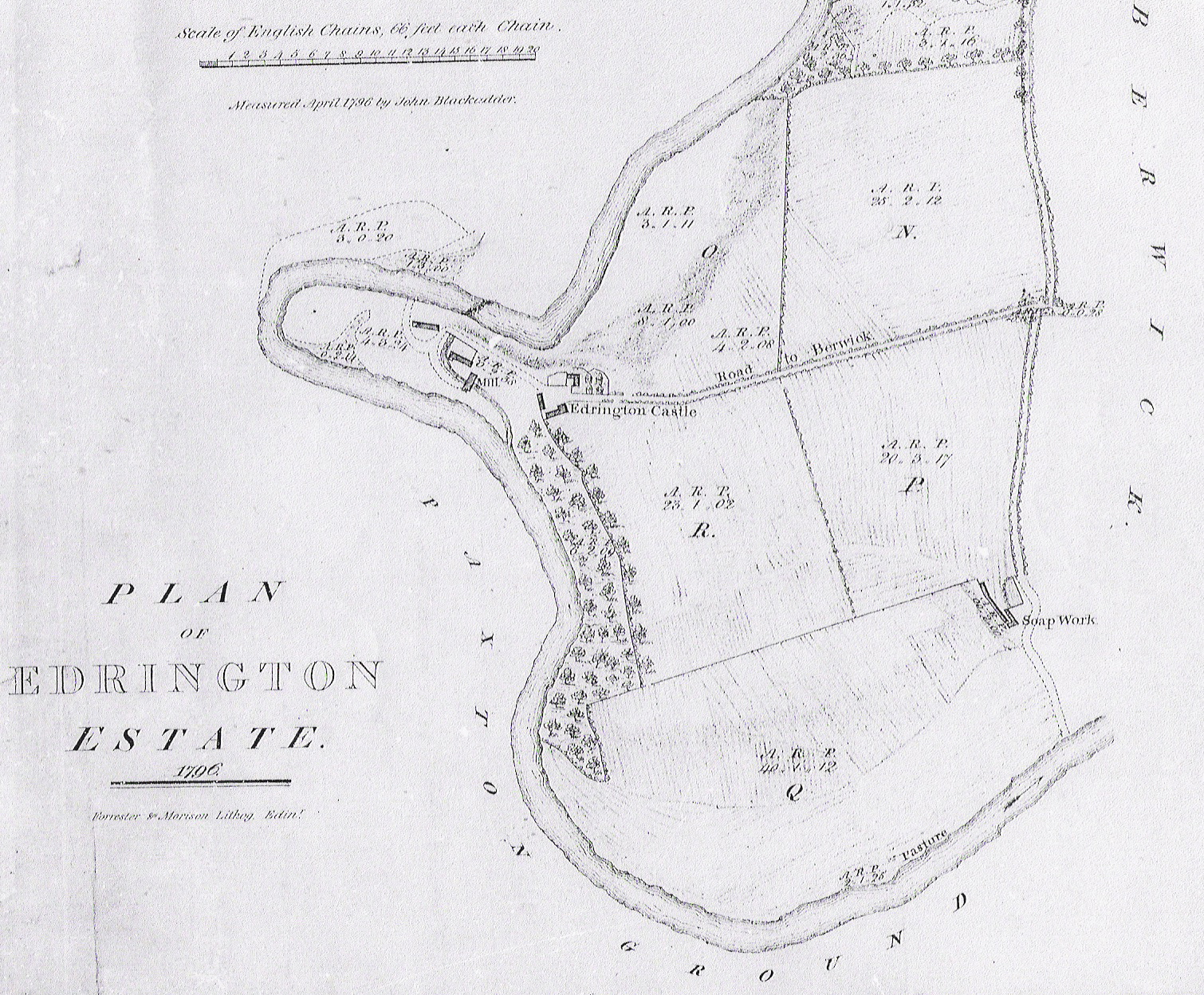
Edrington

Edrington is a medieval estate occupying the lower part of Mordington parish in Berwickshire, Scottish Borders, Scotland, five miles (8.0 km) west of Berwick...

Clappers, Scottish Borders

Clappers is a small village in Scottish Borders, Scotland, located right next to the border with England. There is a small monument commemorating the Golden...

Paxton House, Berwickshire

Paxton House is a historic house at Paxton, Berwickshire, in the Scottish Borders, a few miles south-west of Berwick-upon-Tweed, overlooking the River...

Hutton Castle

Hutton Castle is located in the Scottish Borders, overlooking the Whiteadder Water. It stands 2.5 kilometres (1.6 mi) southeast of Chirnside and 11 kilometres...

Mordington

Mordington is an agricultural parish in the extreme south-east of Berwickshire in the Scottish Borders region. It is five miles from Berwick-upon-Tweed...

Nearby Amenities

Located within 500m of 55.785912,-2.1294351
Broadmeadows Home Farm
Place: hamlet
Lat/Long: 55.7820933/-2.1309933
Hutton Mill
Place: locality
Lat/Long: 55.7843113/-2.1322021
Power: pole
Lat/Long: 55.7837785/-2.1281444
Power: pole
Lat/Long: 55.7834956/-2.1284368
Power: pole
Lat/Long: 55.7831535/-2.1299159
Power: pole
Lat/Long: 55.7831426/-2.1307908
Power: pole
Lat/Long: 55.7831209/-2.13164
Power: pole
Lat/Long: 55.7831028/-2.1328181
Power: pole
Lat/Long: 55.7833893/-2.1337576
Power: pole
Lat/Long: 55.783405/-2.1349744
Power: pole
Lat/Long: 55.7833228/-2.1359783
Power: pole
Lat/Long: 55.7890053/-2.1242554
Power: pole
Lat/Long: 55.7882728/-2.1238964
Power: pole
Lat/Long: 55.787573/-2.124019
The data included in this document is from www.openstreetmap.org. The data is made available under ODbL.

Have you been to Sparrow Brae?

Leave your review of Sparrow Brae below (or comments, questions and feedback).