Young Trees

Wood, Forest in Berwickshire

Scotland

Young Trees

Foulden Tithe Barn It actually seems to be a bit of a guess that this is a tithe barn, but it's right by a church so the current thinking is that's what it was. An Historic Scotland property
Foulden Tithe Barn Credit: Kirsty Smith

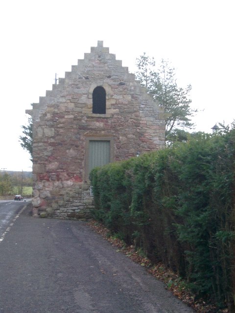
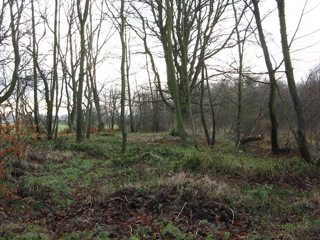
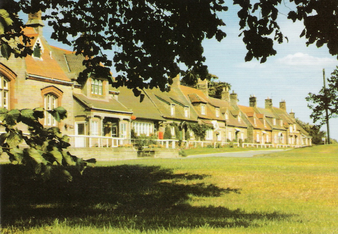
Young Trees is a small wood located in Berwickshire, Scotland. It is situated amidst the picturesque landscape of the Scottish Borders, approximately 5 miles south of the town of Duns. The wood is a part of the wider Young Trees Forest, which covers an area of approximately 100 acres.

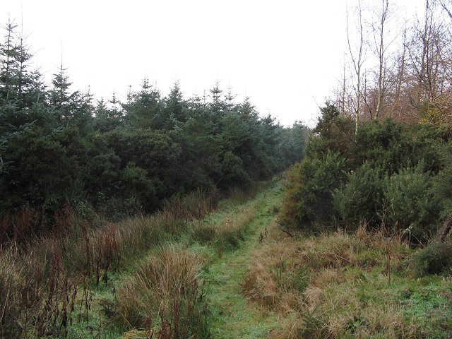
The forest is predominantly composed of young deciduous trees, primarily oak and birch, which gives the wood its name. The trees are relatively small in size, with an average height of around 10 to 15 feet. The woodland floor is covered with a thick carpet of moss and ferns, creating a lush and vibrant undergrowth.

Young Trees is known for its diverse wildlife population. The wood provides a natural habitat for a variety of bird species, including woodpeckers, tits, and finches. Small mammals such as red squirrels and voles can also be found in the area. Deer are occasionally spotted grazing on the outskirts of the wood.

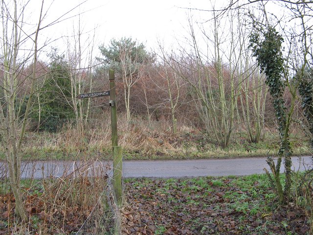
The wood is a popular destination for nature enthusiasts and hikers. It offers a network of well-maintained trails that wind through the trees, providing visitors with an opportunity to explore the natural beauty of the area. The peaceful atmosphere and stunning views make Young Trees an ideal spot for a leisurely walk or a picnic.

The Young Trees Forest is managed by a local conservation organization, which ensures the preservation of the wood's natural environment. Efforts are made to protect and enhance the biodiversity of the area, making it a valuable asset for both wildlife and the local community.

If you have any feedback on the listing, please let us know in the comments section below.

Young Trees Images

Images are sourced within 2km of 55.807783/-2.128742 or Grid Reference NT9257. Thanks to Geograph Open Source API. All images are credited.

Foulden Tithe Barn It actually seems to be a bit of a guess that this is a tithe barn, but it's right by a church so the current thinking is that's what it was. An Historic Scotland property
Foulden Tithe Barn
It actually seems to be a bit of a guess that this is a tithe barn, but it's right by a church so the current thinking is that's what it was. An Historic Scotland property
Foulden Village taken close to the war memorial, these houses look down the hill towards Paxton and England
Foulden Village
taken close to the war memorial, these houses look down the hill towards Paxton and England
Whiterig View from a corner, looking out over arable land towards Whiterig.
Whiterig
View from a corner, looking out over arable land towards Whiterig.
Edington Hill Plantation (South) Probably just Edington Hill Plantation, as Edington Hill Plantation (North) has long since turned into farmland. Mind the OS map suggests that this half of the wood has diminished as well.
Edington Hill Plantation (South)
Probably just Edington Hill Plantation, as Edington Hill Plantation (North) has long since turned into farmland. Mind the OS map suggests that this half of the wood has diminished as well.
Crop netting, Millerton Hill Rolls of netting surrounding a large arable field. Vegetable crops like sprouts are often covered by fine nets to keep the birds off.
Crop netting, Millerton Hill
Rolls of netting surrounding a large arable field. Vegetable crops like sprouts are often covered by fine nets to keep the birds off.
Farmland, Prenderguest Mix of arable fields and small woods.
Farmland, Prenderguest
Mix of arable fields and small woods.
Whiterig Looking along the gridline at the Whiterig farm buildings. It's a big farm with a large spread of buildings. Trees have been planted to eventually screen the buildings.
Whiterig
Looking along the gridline at the Whiterig farm buildings. It's a big farm with a large spread of buildings. Trees have been planted to eventually screen the buildings.
Hag Wood Guaranteed 100% orienteer proof!  A surviving wood that is either thickly planted young sitka, or dense gorse - or both.  100% fight!
No doubt a good winter refuge for wildlife.
Hag Wood
Guaranteed 100% orienteer proof! A surviving wood that is either thickly planted young sitka, or dense gorse - or both. 100% fight! No doubt a good winter refuge for wildlife.
Foulden Hag Foulden Hag on the older maps, Grunewald on the 1:25k map. A muddy road and collection of houses on the edge of Hag Wood.
Foulden Hag
Foulden Hag on the older maps, Grunewald on the 1:25k map. A muddy road and collection of houses on the edge of Hag Wood.
Hag Wood Not all of Hag Wood is impenetrable gorse. An open bit near the southern edge at Foulden Hag.
Hag Wood
Not all of Hag Wood is impenetrable gorse. An open bit near the southern edge at Foulden Hag.
Footpath sign, Foulden Hag A sign just like the ones they have "next door". Taken from a useful bypass path avoiding a lot of farm buildings, and the gorse of Hag Wood.
Footpath sign, Foulden Hag
A sign just like the ones they have "next door". Taken from a useful bypass path avoiding a lot of farm buildings, and the gorse of Hag Wood.
Moorpark Hilltop farm with the usual collection of steadings and workers cottages.
Moorpark
Hilltop farm with the usual collection of steadings and workers cottages.
St Johns Sheep grazing in appropriate light for the day of the Winter Solstice.
St Johns
Sheep grazing in appropriate light for the day of the Winter Solstice.
Blinkbonny Old workshops still in use. Track leads over the southern flank of Deanshill eastward towards England.
Blinkbonny
Old workshops still in use. Track leads over the southern flank of Deanshill eastward towards England.
Green lane Crosses  Westmains Moor to Moorpark.
Green lane
Crosses Westmains Moor to Moorpark.
Strip on Millerton Hill Track running through a strip wood.
Strip on Millerton Hill
Track running through a strip wood.
Farm sign, Whiterig Lodge
Foulden Hag Farmyard with cattle crush in foreground.
Foulden Hag
Farmyard with cattle crush in foreground.
Show me another place!

Young Trees is located at Grid Ref: NT9257 (Lat: 55.807783, Lng: -2.128742)

Unitary Authority: The Scottish Borders

Police Authority: The Lothians and Scottish Borders

What 3 Words

///fever.goes.wound. Near Chirnside, Scottish Borders

Related Wikis

Foulden, Scottish Borders

Foulden is a civil parish and village in the Berwickshire area of Scottish Borders, Scotland, situated not far above the Whiteadder Water, and 7 miles...

Mordington

Mordington is an agricultural parish in the extreme south-east of Berwickshire in the Scottish Borders region. It is five miles from Berwick-upon-Tweed...

Clappers, Scottish Borders

Clappers is a small village in Scottish Borders, Scotland, located right next to the border with England. There is a small monument commemorating the Golden...

Ayton railway station

Ayton railway station was a station which served the village of Ayton in the Scottish area of Scottish Borders. It was located on what is now known as...
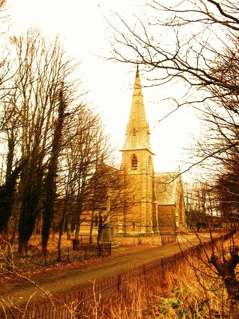
Ayton Parish Church

Ayton and Burnmouth Parish Church is a member church (Scots: kirk) of the Church of Scotland, serving the communities of Ayton and Burnmouth in the Scottish...

Hutton Castle

Hutton Castle is located in the Scottish Borders, overlooking the Whiteadder Water. It stands 2.5 kilometres (1.6 mi) southeast of Chirnside and 11 kilometres...

Ayton, Scottish Borders

Ayton is a small village located in the historic county of Berwickshire, today part of the Scottish Borders region. It is on the Eye Water, from which...

Lamberton Castle

Lamberton Castle was a castle located at Lamberton, in Scottish Borders, Scotland. The castle was a stronghold of the Lindsay family. It was the caput...

Nearby Amenities

Located within 500m of 55.807783,-2.128742
Moorpark
Place: hamlet
Lat/Long: 55.8105713/-2.1279726
Generator Method: photovoltaic
Generator Source: solar
Generator Type: solar_photovoltaic_panel
Power: generator
Lat/Long: 55.8102771/-2.1292985
Power: pole
Lat/Long: 55.8039385/-2.1284884
Power: pole
Lat/Long: 55.8047347/-2.1276543
Power: pole
Lat/Long: 55.8051926/-2.127334
Power: pole
Lat/Long: 55.8059151/-2.1270502
Power: pole
Lat/Long: 55.8066521/-2.1267793
Power: pole
Lat/Long: 55.8077044/-2.1263752
Power: pole
Lat/Long: 55.8083387/-2.1261451
Power: pole
Lat/Long: 55.8089379/-2.1259129
Power: pole
Lat/Long: 55.8096084/-2.1256722
Power: pole
Lat/Long: 55.8100372/-2.1262053
The data included in this document is from www.openstreetmap.org. The data is made available under ODbL.

Have you been to Young Trees?

Leave your review of Young Trees below (or comments, questions and feedback).