Borrowhill Plantation

Wood, Forest in Aberdeenshire

Scotland

Borrowhill Plantation

Minor road near Viewbank
Minor road near Viewbank Credit: Steven Brown

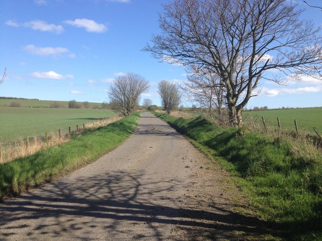
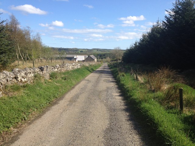
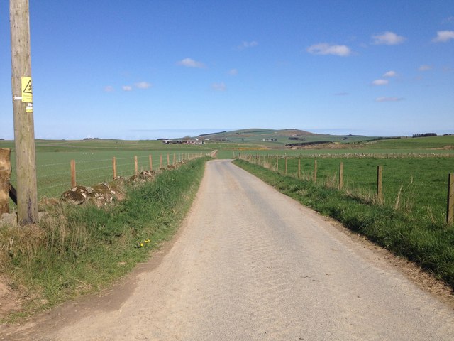
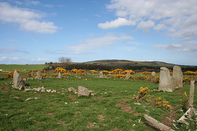
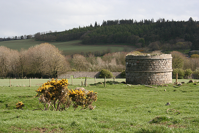
Borrowhill Plantation is a scenic woodland area located in Aberdeenshire, Scotland. Spanning approximately 100 acres, it is situated near the picturesque town of Banchory. The plantation is known for its lush greenery, dense forest cover, and diverse range of tree species.

The woodland is primarily composed of native trees, including oak, birch, and pine. These trees create a beautiful canopy, providing shelter to various wildlife species such as red squirrels, roe deer, and a variety of bird species.

Borrowhill Plantation is a popular destination for nature enthusiasts and outdoor adventurers. It offers numerous walking trails and paths that wind through the forest, allowing visitors to immerse themselves in the tranquility of nature. The trails are well-maintained and suitable for hikers of all levels, offering opportunities for both leisurely strolls and more challenging hikes.

The plantation also features a small picnic area, making it an ideal spot for families and groups to relax and enjoy a meal amidst the peaceful surroundings. There are also seating areas strategically placed along the trails, providing visitors with the chance to rest and take in the scenic beauty.

Beyond its recreational value, Borrowhill Plantation plays an essential role in environmental conservation. It contributes to the local ecosystem by providing habitats for various wildlife and supporting biodiversity in the region.

Overall, Borrowhill Plantation in Aberdeenshire offers a captivating natural landscape, making it a must-visit destination for those seeking a peaceful retreat in the heart of Scotland.

If you have any feedback on the listing, please let us know in the comments section below.

Borrowhill Plantation Images

Images are sourced within 2km of 57.589364/-2.1347663 or Grid Reference NJ9255. Thanks to Geograph Open Source API. All images are credited.

Minor road near Viewbank
Minor road at Borrohill
Minor road near Auchnarie
Farmland near Auchnarie
B9093 near New Pitsligo
B9093 between New Pitsligo and Strichen
Whitehill Croft
Whitehill Croft
Minor road near Whitehill
Minor road near Middlemuir
Farm road to East Middlemuir
Strichen House Recumbent Stone Circle (1) This circle is a reconstruction. After a tenant farmer cleared it in 1830, the furious landlord made him rebuild it, but it was rebuilt in slightly the wrong place. This was completely removed in 1960. In 1979-1982 an archaeological investigation was undertaken, during which the correct positions of the stones were determined, and the circle was rebuilt on that basis. There are, however, some remaining anomalies in the alignment of some of the stones. See <span class="nowrap"><a title="http://canmore.rcahms.gov.uk/en/site/20754/details/strichen+house/" rel="nofollow ugc noopener" href="http://canmore.rcahms.gov.uk/en/site/20754/details/strichen+house/">Link</a><img style="margin-left:2px;" alt="External link" title="External link - shift click to open in new window" src="https://s1.geograph.org.uk/img/external.png" width="10" height="10"/></span> for more information. <a href="https://www.geograph.org.uk/photo/4468608">NJ9354 : Strichen House Recumbent Stone Circle (2)</a>
Strichen House Recumbent Stone Circle (1)
This circle is a reconstruction. After a tenant farmer cleared it in 1830, the furious landlord made him rebuild it, but it was rebuilt in slightly the wrong place. This was completely removed in 1960. In 1979-1982 an archaeological investigation was undertaken, during which the correct positions of the stones were determined, and the circle was rebuilt on that basis. There are, however, some remaining anomalies in the alignment of some of the stones. See LinkExternal link for more information. NJ9354 : Strichen House Recumbent Stone Circle (2)
Strichen House Recumbent Stone Circle (2) The circle from the corner of its fenced enclosure, with the recumbent and flankers to the right. The closest stone has fallen since the 1982 reconstruction. See <span class="nowrap"><a title="http://canmore.rcahms.gov.uk/en/site/20754/details/strichen+house/" rel="nofollow ugc noopener" href="http://canmore.rcahms.gov.uk/en/site/20754/details/strichen+house/">Link</a><img style="margin-left:2px;" alt="External link" title="External link - shift click to open in new window" src="https://s1.geograph.org.uk/img/external.png" width="10" height="10"/></span> for more information. <a href="https://www.geograph.org.uk/photo/4468630">NJ9354 : Strichen House Recumbent Stone Circle (3)</a>
Strichen House Recumbent Stone Circle (2)
The circle from the corner of its fenced enclosure, with the recumbent and flankers to the right. The closest stone has fallen since the 1982 reconstruction. See LinkExternal link for more information. NJ9354 : Strichen House Recumbent Stone Circle (3)
Strichen House Recumbent Stone Circle (3) The recumbent and flankers of the reconstructed circle. The positions of the stones are not quite in accord with the undisturbed circles elsewhere in that the flankers here protrude slightly beyond the face of the recumbent. See <span class="nowrap"><a title="http://canmore.rcahms.gov.uk/en/site/20754/details/strichen+house/" rel="nofollow ugc noopener" href="http://canmore.rcahms.gov.uk/en/site/20754/details/strichen+house/">Link</a><img style="margin-left:2px;" alt="External link" title="External link - shift click to open in new window" src="https://s1.geograph.org.uk/img/external.png" width="10" height="10"/></span> for more information. <a href="https://www.geograph.org.uk/photo/4468664">NJ9354 : Strichen House Recumbent Stone Circle (4)</a>
Strichen House Recumbent Stone Circle (3)
The recumbent and flankers of the reconstructed circle. The positions of the stones are not quite in accord with the undisturbed circles elsewhere in that the flankers here protrude slightly beyond the face of the recumbent. See LinkExternal link for more information. NJ9354 : Strichen House Recumbent Stone Circle (4)
Strichen House Doocot Only the lower part still stands. This doocot, with a larger than traditional internal diameter of 4 metres, is not an ancient monument. It dates from the 19th century, albeit before 1870 when the first edition of the Ordnance Survey six-inch map was surveyed.
Strichen House Doocot
Only the lower part still stands. This doocot, with a larger than traditional internal diameter of 4 metres, is not an ancient monument. It dates from the 19th century, albeit before 1870 when the first edition of the Ordnance Survey six-inch map was surveyed.
Strichen House Recumbent Stone Circle (4) An oblique view of the recumbent setting of the reconstructed circle. From this angle you can see that the flankers are set slightly in front of the face of the recumbent. See <span class="nowrap"><a title="http://canmore.rcahms.gov.uk/en/site/20754/details/strichen+house/" rel="nofollow ugc noopener" href="http://canmore.rcahms.gov.uk/en/site/20754/details/strichen+house/">Link</a><img style="margin-left:2px;" alt="External link" title="External link - shift click to open in new window" src="https://s1.geograph.org.uk/img/external.png" width="10" height="10"/></span> for more information. <a href="https://www.geograph.org.uk/photo/4468675">NJ9354 : Strichen House Recumbent Stone Circle (5)</a>
Strichen House Recumbent Stone Circle (4)
An oblique view of the recumbent setting of the reconstructed circle. From this angle you can see that the flankers are set slightly in front of the face of the recumbent. See LinkExternal link for more information. NJ9354 : Strichen House Recumbent Stone Circle (5)
Strichen House Recumbent Stone Circle (5) This is the eastern arc of the circle. As you get further away from the recumbent, the stones decrease in height. However there seems to be a lack of unanimity about the exact heights of the original stones before they were first cleared. See <span class="nowrap"><a title="http://canmore.rcahms.gov.uk/en/site/20754/details/strichen+house/" rel="nofollow ugc noopener" href="http://canmore.rcahms.gov.uk/en/site/20754/details/strichen+house/">Link</a><img style="margin-left:2px;" alt="External link" title="External link - shift click to open in new window" src="https://s1.geograph.org.uk/img/external.png" width="10" height="10"/></span> for more information. <a href="https://www.geograph.org.uk/photo/4468686">NJ9354 : Strichen House Recumbent Stone Circle (6)</a>
Strichen House Recumbent Stone Circle (5)
This is the eastern arc of the circle. As you get further away from the recumbent, the stones decrease in height. However there seems to be a lack of unanimity about the exact heights of the original stones before they were first cleared. See LinkExternal link for more information. NJ9354 : Strichen House Recumbent Stone Circle (6)
Strichen House Recumbent Stone Circle (6) The circle is of modest dimensions, about 13 metres across from north to south, so it is easy enough to photograph the whole thing. See <span class="nowrap"><a title="http://canmore.rcahms.gov.uk/en/site/20754/details/strichen+house/" rel="nofollow ugc noopener" href="http://canmore.rcahms.gov.uk/en/site/20754/details/strichen+house/">Link</a><img style="margin-left:2px;" alt="External link" title="External link - shift click to open in new window" src="https://s1.geograph.org.uk/img/external.png" width="10" height="10"/></span> for more information. <a href="https://www.geograph.org.uk/photo/4468602">NJ9354 : Strichen House Recumbent Stone Circle (1)</a>
Strichen House Recumbent Stone Circle (6)
The circle is of modest dimensions, about 13 metres across from north to south, so it is easy enough to photograph the whole thing. See LinkExternal link for more information. NJ9354 : Strichen House Recumbent Stone Circle (1)
Show me another place!

Borrowhill Plantation is located at Grid Ref: NJ9255 (Lat: 57.589364, Lng: -2.1347663)

Unitary Authority: Aberdeenshire

Police Authority: North East

What 3 Words

///scramble.degrading.layover. Near New Pitsligo, Aberdeenshire

Nearby Locations

Borrowhill Plantation

Related Wikis

Willows Animal Sanctuary

Willows Animal Sanctuary is an animal sanctuary in Fraserburgh, Aberdeenshire, Scotland. == History == Willows Animal Sanctuary was founded, on a 54-acre...
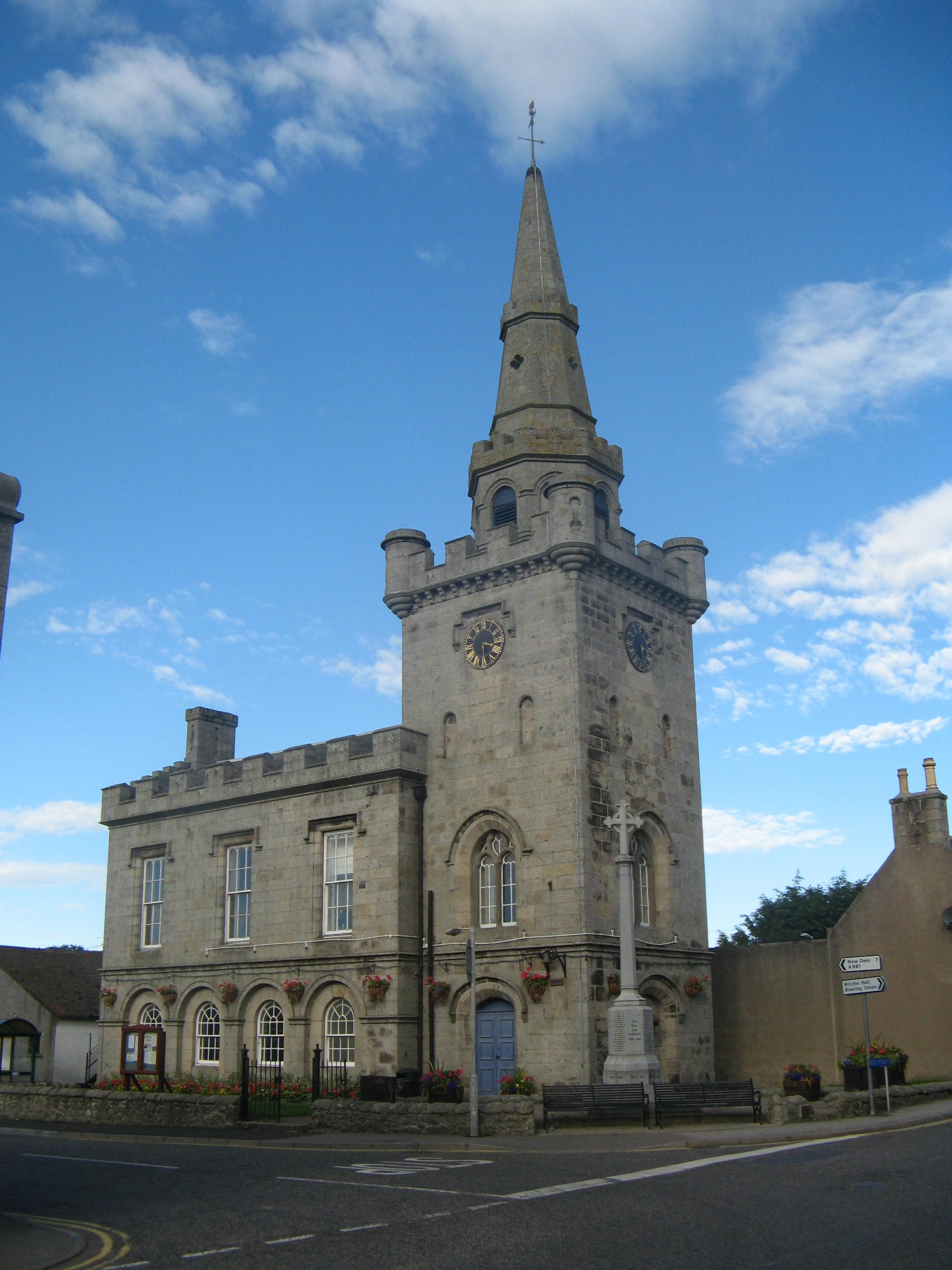
Strichen Town House

Strichen Town House is a municipal structure in High Street, Strichen, Aberdeenshire, Scotland. The building, which was the meeting place of Strichen Parish...

Strichen

Strichen is a village in Aberdeenshire, Scotland. It sits on the A981, connecting it to New Deer 7.2 miles (12 km) to the southwest and Fraserburgh 8 miles...

Strichen railway station

Strichen railway station was a railway station in Strichen, Aberdeenshire. == History == The station was opened on 24 April 1865 by the Formartine and...

New Pitsligo

New Pitsligo (Scots: Pitsligae), also known as Cavoch (locally Cyaak), is a village in Aberdeenshire, Scotland, quite near Fraserburgh. == Overview... ==

Mormond Hill

Mormond Hill (from Gaelic Mórmhonadh, "big hill") is a broad eminence in Aberdeenshire, Scotland, not far from Fraserburgh. Its twin summits reach heights...

Brucklay railway station

Brucklay railway station was a former railway station in Brucklay, Aberdeenshire. == History == The station was opened on 24 April 1865 by the Formartine...

Brucklay Castle

Brucklay Castle, also known as Brucklay House, is a 16th-century castle in the Buchan area of Aberdeenshire, Scotland. The earliest part of the castle...

Have you been to Borrowhill Plantation?

Leave your review of Borrowhill Plantation below (or comments, questions and feedback).