Deafarch Plantation
Wood, Forest in Roxburghshire
Scotland
Deafarch Plantation
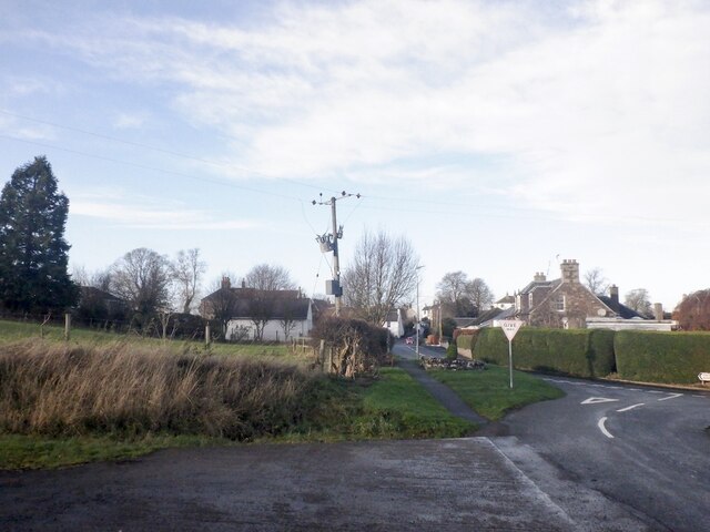
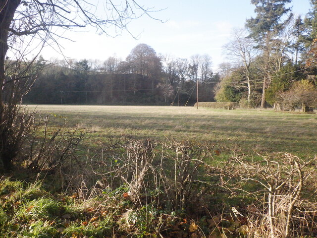
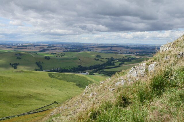
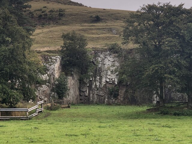
Deafarch Plantation is a picturesque woodland area located in Roxburghshire, a historic county in the Scottish Borders region of Scotland. Covering an expansive area, the plantation is predominantly composed of various species of trees, making it an idyllic forest setting.
The plantation is characterized by its dense foliage, creating a serene and tranquil atmosphere. The tree species found within Deafarch Plantation include oak, beech, Scots pine, and silver birch, among others. These trees provide a habitat for a diverse range of flora and fauna, making it a popular destination for nature enthusiasts and wildlife lovers.
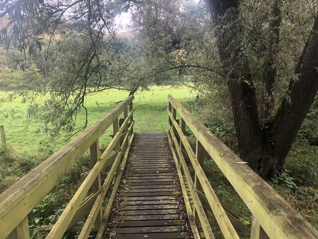
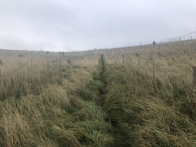
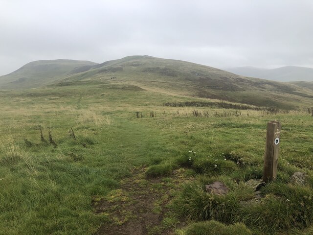
Visitors can explore the plantation through a network of well-maintained trails, allowing for easy access to the stunning natural beauty of the area. The trails offer opportunities for walking, hiking, and birdwatching, with designated viewing points strategically placed throughout the plantation.
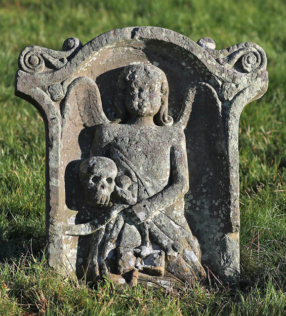
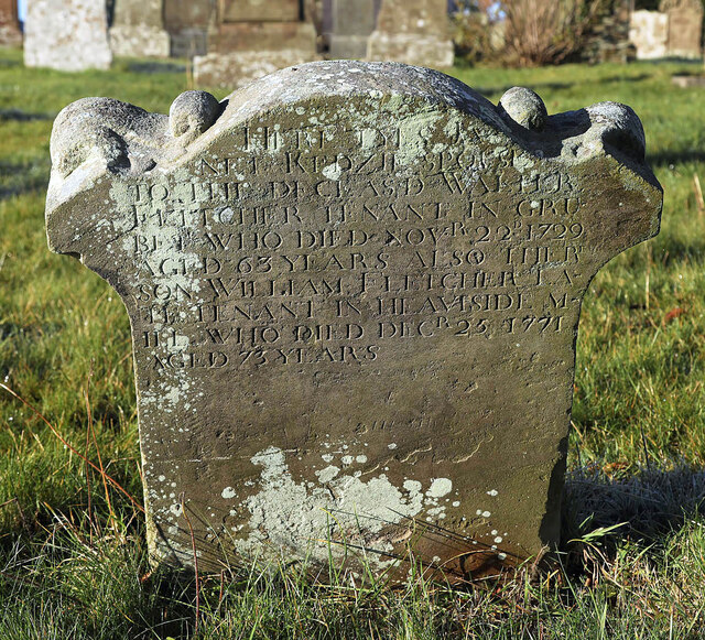
Deafarch Plantation holds historical significance, with remnants of its past as a working plantation still visible. The plantation was once actively managed for timber production, and while some areas have been replanted, the remnants of old timber plantings can still be seen.
The plantation is open to the public year-round, providing a perfect escape from the hustle and bustle of everyday life. Whether visitors are seeking a peaceful walk in nature, a chance to immerse themselves in the rich biodiversity, or simply a place to relax and unwind, Deafarch Plantation offers a captivating natural experience.
If you have any feedback on the listing, please let us know in the comments section below.
Deafarch Plantation Images
Images are sourced within 2km of 55.505243/-2.3583733 or Grid Reference NT7723. Thanks to Geograph Open Source API. All images are credited.


Deafarch Plantation is located at Grid Ref: NT7723 (Lat: 55.505243, Lng: -2.3583733)
Unitary Authority: The Scottish Borders
Police Authority: The Lothians and Scottish Borders
What 3 Words
///wound.tornado.briskly. Near Maxwellheugh, Scottish Borders
Nearby Locations
Related Wikis

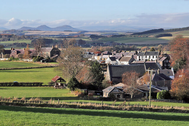
Morebattle
Morebattle is a village in the Scottish Borders area of Scotland, on the B6401, seven miles south of Kelso, Scottish Borders, beside the Kale Water, a...
Linton, Scottish Borders
Linton is a small village in the Scottish Borders area of Scotland. It is situated a mile north of the village of Morebattle. == History == People have...

Cessford Burn
Cessford Burn is a small stream which eventually runs to meet the Kale Water and then joins the River Teviot, finally entering the River Tweed at Kelso...

Cessford Castle
Cessford Castle is a large ruined mid-15th century L-plan castle near the village of Cessford, midway Jedburgh and Kelso, in the historic county of Roxburghshire...

Cessford, Scottish Borders
Cessford is a hamlet and former barony about a mile south of the B6401 road, in the Scottish Borders area of Scotland. The placename is from Gaelic 'ceis...

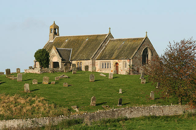
Hownam
Hownam or Hounam is a small village and parish situated 8 miles east of Jedburgh in the Scottish Borders area of Scotland, near the Anglo-Scottish border...

Mowhaugh
Mowhaugh is a hamlet and farm steading near the Calroust Burn and the Bowmont Water, near Morebattle, in the Scottish Borders area of Scotland, and in...

Yetholm Loch
Yetholm Loch is a loch near Kelso, in the Scottish Borders area of Scotland, in the former Roxburghshire.There was a tower on an island in Yetholm Loch...
Nearby Amenities
Located within 500m of 55.505243,-2.3583733Have you been to Deafarch Plantation?
Leave your review of Deafarch Plantation below (or comments, questions and feedback).