Wether Hill

Hill, Mountain in Roxburghshire

Scotland

Wether Hill

Edge of Morebattle
Edge of Morebattle Credit: Richard Webb

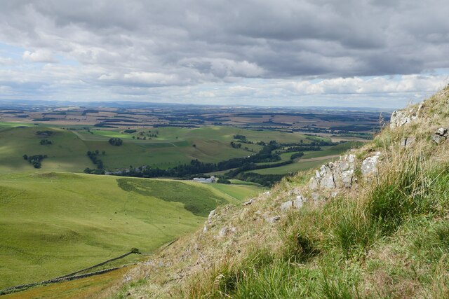
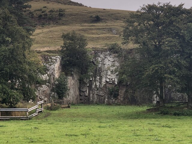
Wether Hill is a prominent hill located in the county of Roxburghshire in the Scottish Borders region of Scotland. It sits within the Ettrick Forest and offers breathtaking views of the surrounding landscape. With an elevation of approximately 536 meters (1,759 feet), it is a notable landmark in the area.

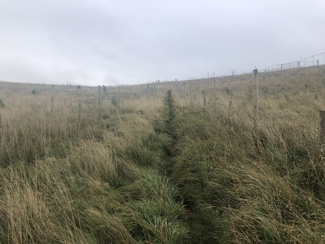
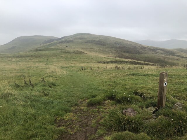
The hill is easily accessible by foot, and there are well-maintained paths and trails that lead to its summit. The climb to the top can be challenging, but the rewarding panoramic views make it well worth the effort. On a clear day, visitors can see the rolling hills of Roxburghshire, the lush greenery of the Ettrick Forest, and even catch glimpses of the nearby Eildon Hills and Cheviot Hills.

The vegetation on Wether Hill is predominantly heather and grasses, typical of the Scottish uplands. The hill is also home to a variety of wildlife, including red deer, grouse, and various bird species. Nature enthusiasts and wildlife photographers often visit the hill to capture its natural beauty.

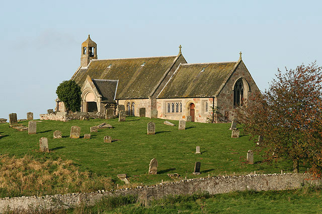
Wether Hill has historical significance as well. In the past, it was used as a landmark for travelers and shepherds navigating the area. Today, it remains an important part of the local heritage and attracts outdoor enthusiasts, hikers, and nature lovers from near and far.

Whether one is seeking a challenging hike, stunning views, or a peaceful escape into nature, Wether Hill in Roxburghshire is a must-visit destination in the Scottish Borders.

If you have any feedback on the listing, please let us know in the comments section below.
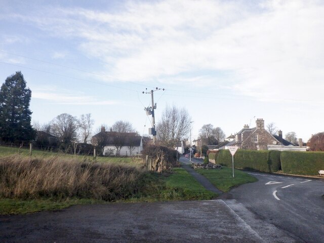
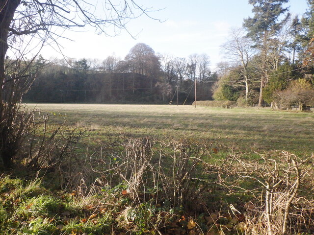
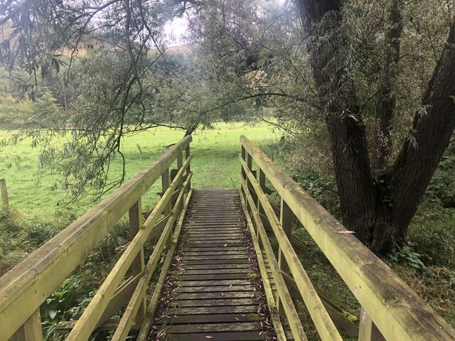
Wether Hill Images

Images are sourced within 2km of 55.501079/-2.3536814 or Grid Reference NT7723. Thanks to Geograph Open Source API. All images are credited.

Edge of Morebattle
Edge of Morebattle
Field near Corbet Tower
Young trees, Gateshaw Behind a very elaborate electric fence.
Young trees, Gateshaw
Behind a very elaborate electric fence.
Harrow Law
Harrow Law
Farm track, Gateshaw
Beside the Kale Water Field downstream of Hownam
Beside the Kale Water
Field downstream of Hownam
Deanbrae Law 10 years on from <a href="https://www.geograph.org.uk/photo/3149784">NT7721 : Deanbrae Law</a>
Deanbrae Law
10 years on from NT7721 : Deanbrae Law
On the western slopes of Hownam Law On the 400 metre contour on the western side of Hownam Law and the view starts to open out to encompass Berwickshire and the Northumberland coast.
On the western slopes of Hownam Law
On the 400 metre contour on the western side of Hownam Law and the view starts to open out to encompass Berwickshire and the Northumberland coast.
The Kale valley from Howman Law Scree and outcrops can be found at the western and southern sides of Hownam Law. 
 Hownam Grange and Gateshaw are the farms in the foreground in the Kale valley.  Morebattle Hill obscures the village of Morebattle which lies behind it.
The Kale valley from Howman Law
Scree and outcrops can be found at the western and southern sides of Hownam Law. Hownam Grange and Gateshaw are the farms in the foreground in the Kale valley. Morebattle Hill obscures the village of Morebattle which lies behind it.
Bridge, St Cuthbert's Way Crossing the Kale Water. There is a ford downstream for farm traffic.
Bridge, St Cuthbert's Way
Crossing the Kale Water. There is a ford downstream for farm traffic.
Quarry Across the Kale Water from Corbet Tower
Quarry
Across the Kale Water from Corbet Tower
Corridor path Through a young woodland. Presumably the extra expense of fencing in the path was to allow the corridor to be used for moving stock, there are gates, but this has not happened.
Corridor path
Through a young woodland. Presumably the extra expense of fencing in the path was to allow the corridor to be used for moving stock, there are gates, but this has not happened.
Grubbit Law and Wideopen Hill
Towards Hownam Law from Grubbit Law
View towards Wideopen Hill A group of thru-hikers (they were from the USA) on St Cuthbert's Way.
View towards Wideopen Hill
A group of thru-hikers (they were from the USA) on St Cuthbert's Way.
Dyke on Wideopen Hill
Stile on Wideopen Hill The sign helpfully tells you that there is a gate a bit further along but with a height loss penalty.
Stile on Wideopen Hill
The sign helpfully tells you that there is a gate a bit further along but with a height loss penalty.
Show me another place!

Wether Hill is located at Grid Ref: NT7723 (Lat: 55.501079, Lng: -2.3536814)

Unitary Authority: The Scottish Borders

Police Authority: The Lothians and Scottish Borders

What 3 Words

///jeering.tickles.deprives. Near Maxwellheugh, Scottish Borders

Related Wikis

Morebattle

Morebattle is a village in the Scottish Borders area of Scotland, on the B6401, seven miles south of Kelso, Scottish Borders, beside the Kale Water, a...

Linton, Scottish Borders

Linton is a small village in the Scottish Borders area of Scotland. It is situated a mile north of the village of Morebattle. == History == People have...

Cessford Burn

Cessford Burn is a small stream which eventually runs to meet the Kale Water and then joins the River Teviot, finally entering the River Tweed at Kelso...

Cessford Castle

Cessford Castle is a large ruined mid-15th century L-plan castle near the village of Cessford, midway Jedburgh and Kelso, in the historic county of Roxburghshire...

Nearby Amenities

Located within 500m of 55.501079,-2.3536814
Wether Hill
Natural: peak
Lat/Long: 55.5015091/-2.3543275
Turning Circle
Lat/Long: 55.5033705/-2.3497057
Power: pole
Lat/Long: 55.4993482/-2.3465951
Power: pole
Lat/Long: 55.4998528/-2.3467368
Power: pole
Lat/Long: 55.5014907/-2.3474269
Power: pole
Lat/Long: 55.5022111/-2.3478517
Power: pole
Lat/Long: 55.5030249/-2.3477462
Power: pole
Lat/Long: 55.5037993/-2.3476638
The data included in this document is from www.openstreetmap.org. The data is made available under ODbL.

Have you been to Wether Hill?

Leave your review of Wether Hill below (or comments, questions and feedback).