Morebattle Hill
Hill, Mountain in Roxburghshire
Scotland
Morebattle Hill
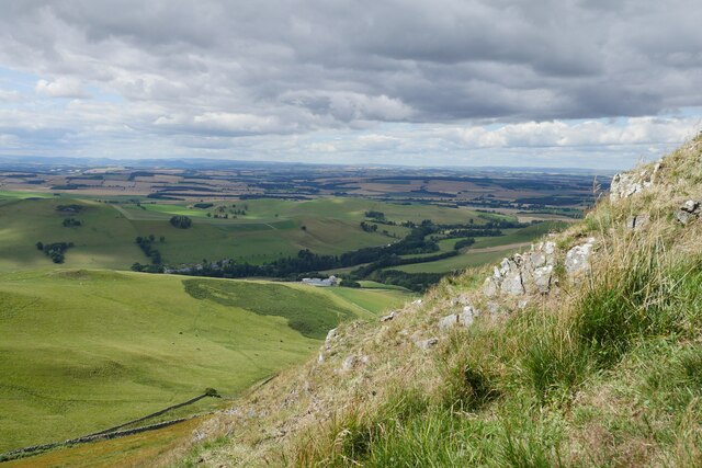
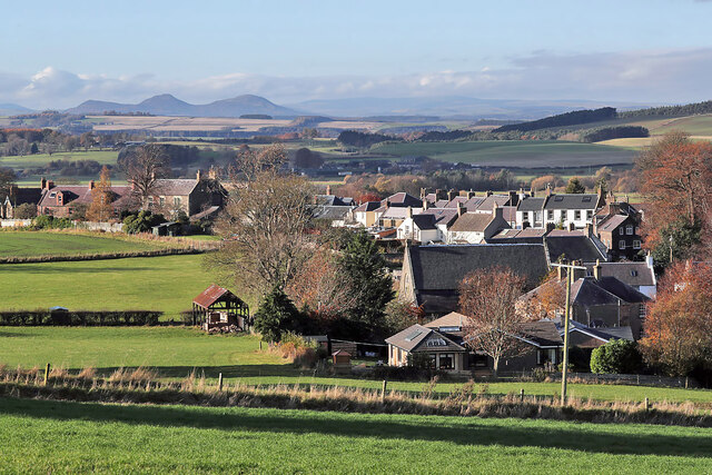
Morebattle Hill is a prominent hill located in the Scottish Borders region of Roxburghshire, Scotland. Standing at an elevation of 354 meters (1,161 feet), it is a popular destination for outdoor enthusiasts and nature lovers alike.
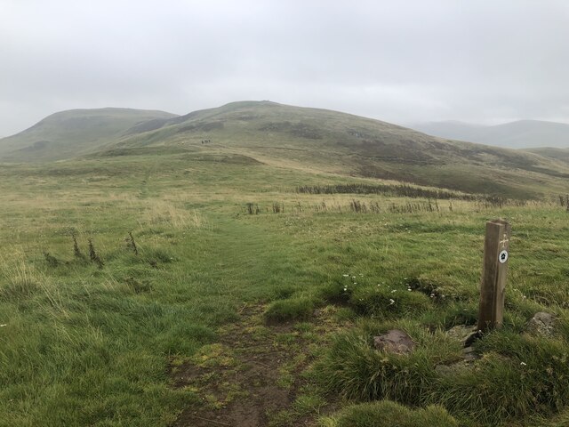
The hill lies in close proximity to the village of Morebattle, from which it takes its name, and is a distinctive landmark in the local landscape. Its summit offers breathtaking panoramic views of the surrounding countryside, with the Cheviot Hills to the south and the rolling hills of the Borders to the north.
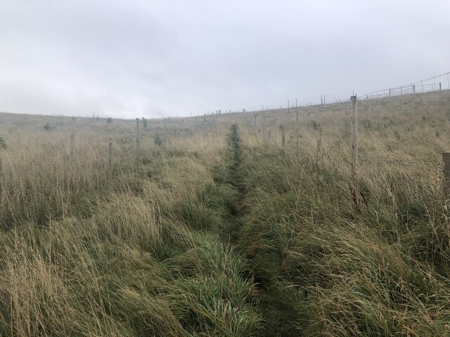
Morebattle Hill is characterized by its gentle slopes and grassy terrain, making it easily accessible for walkers and hikers of all abilities. There are several well-maintained paths and trails that lead to the summit, providing opportunities for both leisurely strolls and more challenging hikes. The hill is also a popular spot for picnicking, birdwatching, and photography.
In addition to its natural beauty, Morebattle Hill is steeped in history and folklore. It is believed to have been a significant site during the Iron Age, with evidence of ancient settlements and fortifications found in the vicinity. Local legends also tell of hidden treasure buried somewhere on the hill, adding an air of mystery and intrigue to its allure.
Overall, Morebattle Hill offers a delightful blend of scenic beauty, outdoor recreation, and historical significance, making it a must-visit destination for those exploring the Roxburghshire region.
If you have any feedback on the listing, please let us know in the comments section below.
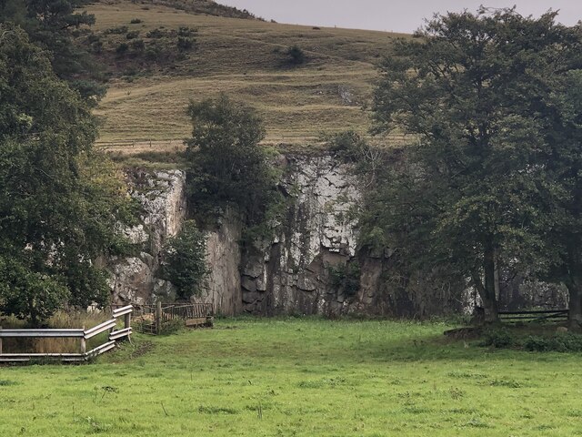
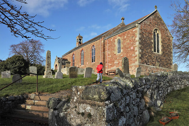
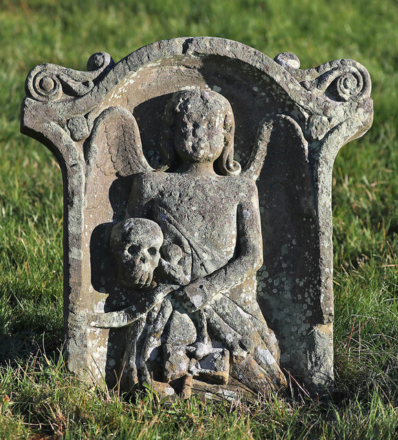
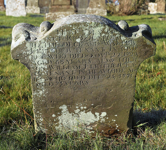
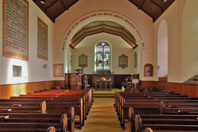
Morebattle Hill Images
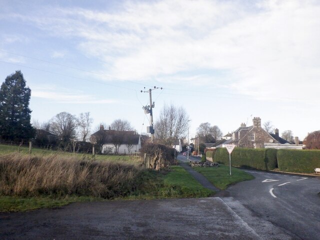
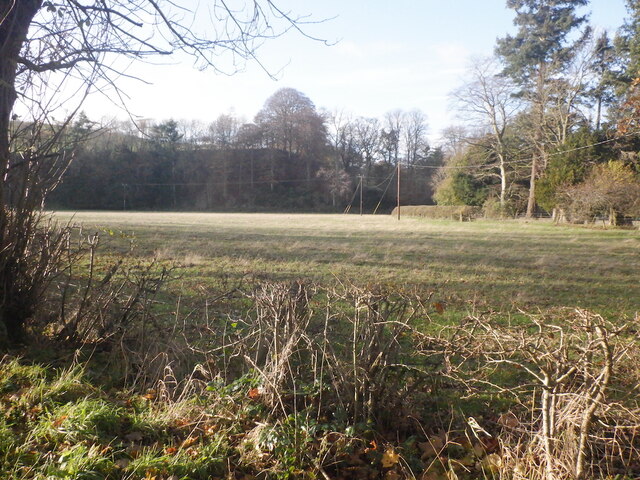
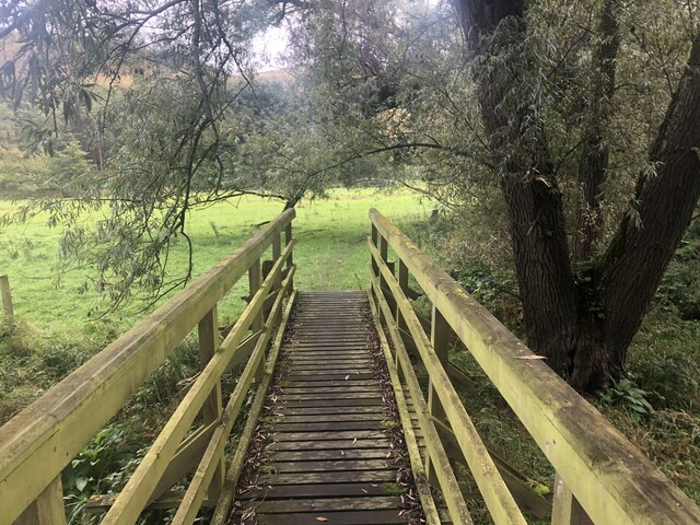
Images are sourced within 2km of 55.508165/-2.3641315 or Grid Reference NT7723. Thanks to Geograph Open Source API. All images are credited.


Morebattle Hill is located at Grid Ref: NT7723 (Lat: 55.508165, Lng: -2.3641315)
Unitary Authority: The Scottish Borders
Police Authority: The Lothians and Scottish Borders
What 3 Words
///perplexed.glosses.enthused. Near Maxwellheugh, Scottish Borders
Nearby Locations
Related Wikis

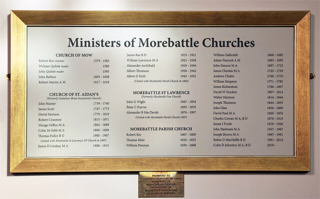
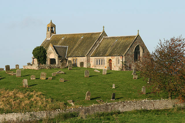
Morebattle
Morebattle is a village in the Scottish Borders area of Scotland, on the B6401, seven miles south of Kelso, Scottish Borders, beside the Kale Water, a...
Linton, Scottish Borders
Linton is a small village in the Scottish Borders area of Scotland. It is situated a mile north of the village of Morebattle. == History == People have...

Cessford Burn
Cessford Burn is a small stream which eventually runs to meet the Kale Water and then joins the River Teviot, finally entering the River Tweed at Kelso...

Cessford Castle
Cessford Castle is a large ruined mid-15th century L-plan castle near the village of Cessford, midway Jedburgh and Kelso, in the historic county of Roxburghshire...
Nearby Amenities
Located within 500m of 55.508165,-2.3641315Have you been to Morebattle Hill?
Leave your review of Morebattle Hill below (or comments, questions and feedback).