Hasty Hill
Hill, Mountain in Northumberland
England
Hasty Hill
Hasty Hill is a prominent hill located in the county of Northumberland, England. It is situated in the northern part of the county, near the village of Hasty, hence its name. This hill is part of the Pennine Range, a chain of hills and mountains that stretches across the northern part of England.
Rising to an elevation of approximately 300 meters (984 feet), Hasty Hill offers stunning panoramic views of the surrounding countryside. Its distinctive shape and steep slopes make it a popular destination for hikers and outdoor enthusiasts looking to challenge themselves and enjoy the natural beauty of the area.
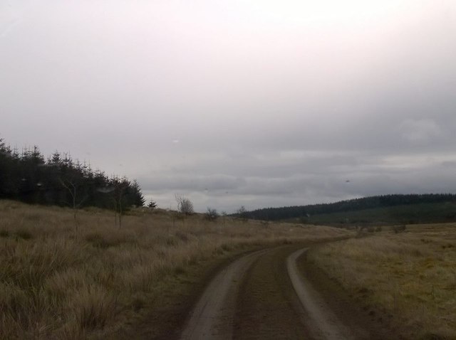
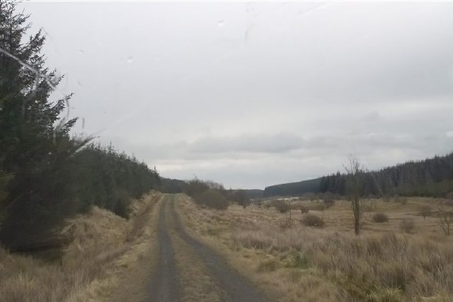
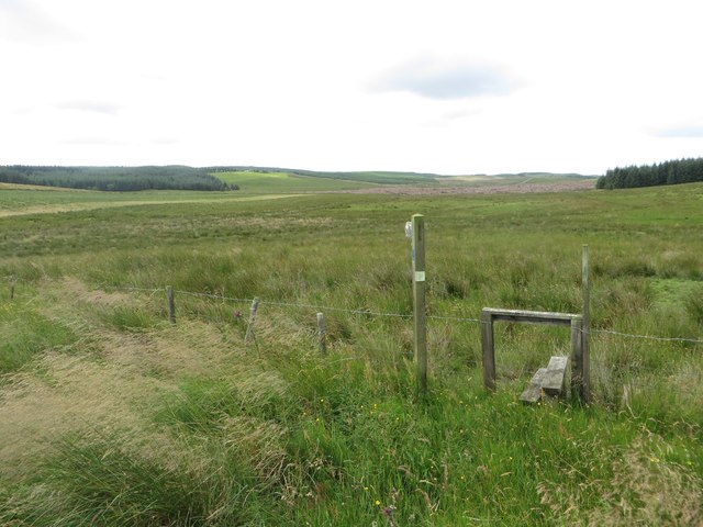
The hill is covered in lush green vegetation, with heather and grasses dominating the landscape. It is also home to a variety of wildlife, including birds of prey, such as kestrels and buzzards, as well as small mammals like rabbits and foxes.
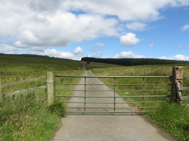
Hasty Hill is intersected by several footpaths and trails, providing visitors with different routes to explore its slopes. The ascent can be quite steep in some sections, so it is advisable to wear appropriate footwear and be cautious while climbing.
At the summit of Hasty Hill, there is a trig point, a concrete pillar used in surveying, which marks the highest point. From here, on a clear day, one can enjoy breathtaking views of the Northumberland countryside, including the Cheviot Hills to the north and the Tyne Valley to the south.
Overall, Hasty Hill is a picturesque and rewarding destination for those seeking outdoor adventures and a chance to immerse themselves in the natural beauty of Northumberland.
If you have any feedback on the listing, please let us know in the comments section below.
Hasty Hill Images
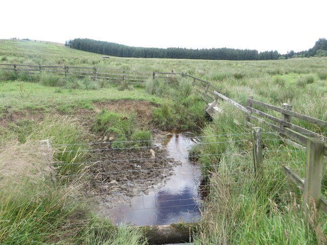
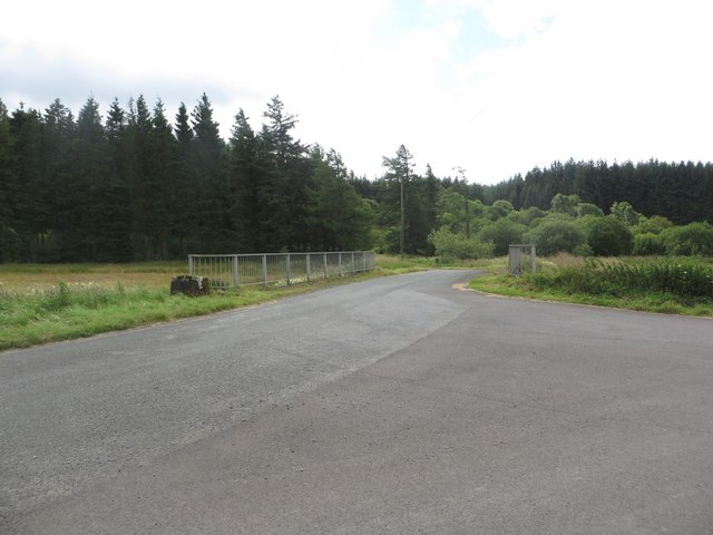
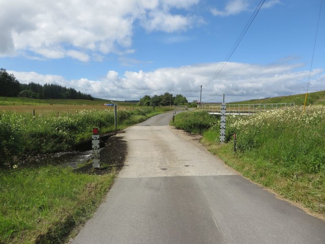
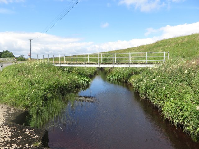
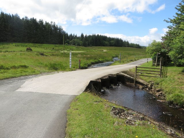
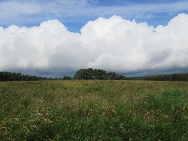
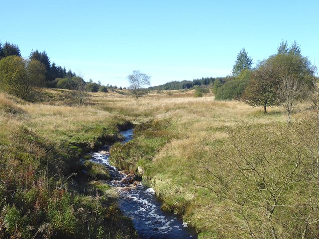
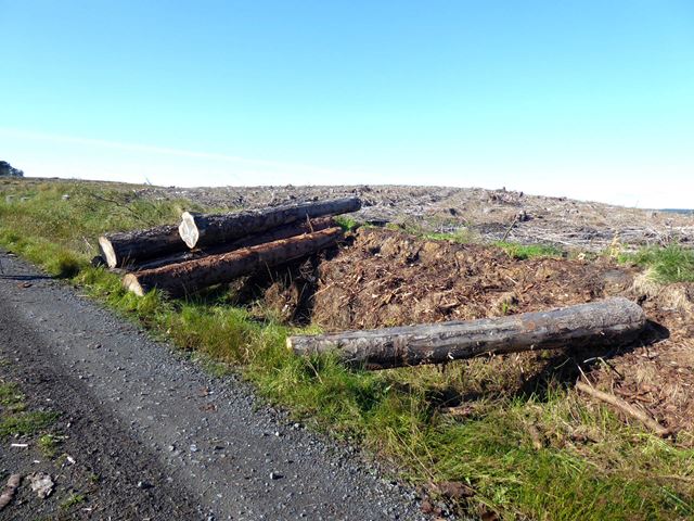
Images are sourced within 2km of 55.074236/-2.3599268 or Grid Reference NY7775. Thanks to Geograph Open Source API. All images are credited.


Hasty Hill is located at Grid Ref: NY7775 (Lat: 55.074236, Lng: -2.3599268)
Unitary Authority: Northumberland
Police Authority: Northumbria
What 3 Words
///candidate.skate.regrowth. Near Bellingham, Northumberland
Nearby Locations
Related Wikis
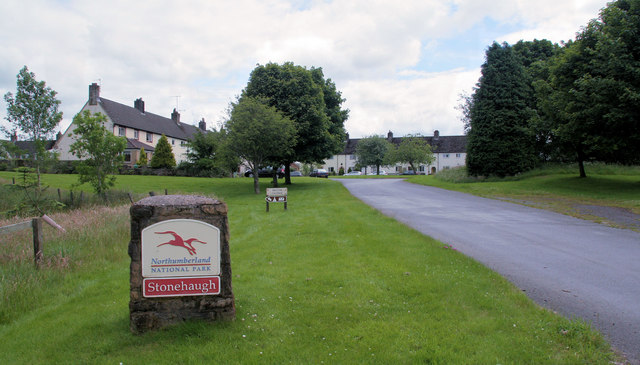
Stonehaugh
Stonehaugh is a small settlement in Northumberland about 5 miles (8 km) west of Wark on Tyne and 4 Roman miles (6 km) north of Hadrian's Wall. It was purpose...

Wark Forest
Wark Forest is the southern part of Kielder Forest in Northumberland, England. Wark Forest is found within the south-west tip of Northumberland National...

Halleypike Lough
Halleypike Lough is an inland lake on Haughton Common at the southern edge of Northumberland National Park, northeast of Bardon Mill, and 1 mile (1.6 km...

The Goatstones
The Goatstones is a Bronze-Age four-poster stone circle located near Ravensheugh Crags in Northumberland, England. It is 2.5 miles (4.0 km) to the north...
Nearby Amenities
Located within 500m of 55.074236,-2.3599268Have you been to Hasty Hill?
Leave your review of Hasty Hill below (or comments, questions and feedback).