Baramill Plantation
Wood, Forest in Berwickshire
Scotland
Baramill Plantation

Baramill Plantation is a sprawling woodland located in the picturesque region of Berwickshire, Scotland. Covering an extensive area, this plantation is renowned for its rich biodiversity and a haven for nature enthusiasts and outdoor adventurers alike.
The woodland is predominantly composed of a variety of tree species, including oak, beech, ash, and birch, which create a diverse and vibrant ecosystem. The dense canopy provides shelter for a wide range of wildlife, including deer, foxes, badgers, and a plethora of bird species. Additionally, the diverse understory supports an array of plant life, such as bluebells, ferns, and wildflowers, adding to the charm and beauty of the woodland.
Baramill Plantation offers a myriad of recreational opportunities for visitors. With its extensive network of well-maintained trails, it is ideal for hiking, walking, and cycling. The terrain varies from gentle slopes to more challenging inclines, catering to all levels of fitness and ability. Along the trails, visitors can enjoy breathtaking views of the surrounding countryside and the distant rolling hills.
The plantation is also a popular destination for birdwatching enthusiasts, as it provides a sanctuary for various bird species. Visitors can spot birds such as red kites, buzzards, woodpeckers, and numerous songbirds, making it a paradise for bird lovers.
Overall, Baramill Plantation is a treasure trove of natural beauty and biodiversity. Its lush woodlands, diverse wildlife, and recreational opportunities make it a must-visit destination for nature enthusiasts and those seeking a tranquil escape amidst the serenity of the Scottish countryside.
If you have any feedback on the listing, please let us know in the comments section below.
Baramill Plantation Images
Images are sourced within 2km of 55.804956/-2.3611714 or Grid Reference NT7756. Thanks to Geograph Open Source API. All images are credited.


Baramill Plantation is located at Grid Ref: NT7756 (Lat: 55.804956, Lng: -2.3611714)
Unitary Authority: The Scottish Borders
Police Authority: The Lothians and Scottish Borders
What 3 Words
///league.paraded.refrained. Near Duns, Scottish Borders
Nearby Locations
Related Wikis

Duns Castle nature reserve
Duns Castle nature reserve is a nature reserve near Duns, in the Scottish Borders area of Scotland, in the former Berwickshire. It consists of two man...

Preston, Scottish Borders
Preston is a small village in the ancient county of Berwickshire, now an administrative area of the Scottish Borders region of Scotland. It lies within...
Cockburn Tower
Cockburn Tower was a small fortified house in Berwickshire, Scotland. Now little more than the outline of a foundation, it occupied a site on the southern...
Borthwick Castle, Scottish Borders
Borthwick Castle, Scottish Borders was a 16th-century L-plan tower house, about 1 mile (1.6 km) north west of Duns, Scottish Borders, Scotland. == History... ==

Duns Castle
Duns Castle, Duns, Berwickshire is a historic house in Scotland, the oldest part of which, the massive Norman Keep or Pele Tower, supposedly dates from...
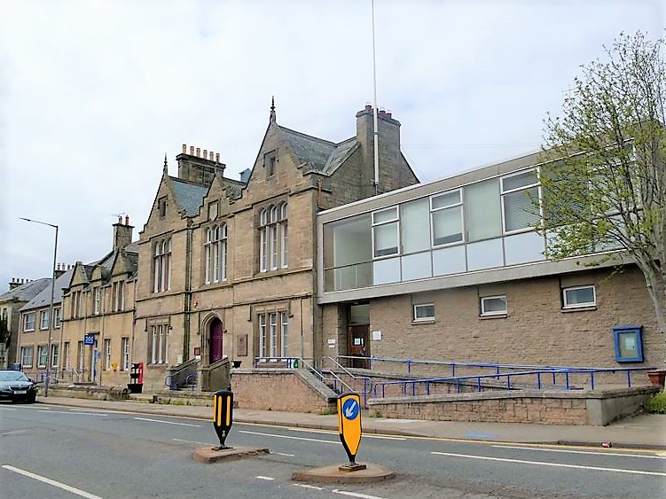
County Buildings, Duns
County Buildings is a municipal structure in Newtown Street, Duns, Scottish Borders, Scotland. The complex, which was the headquarters of Berwickshire...
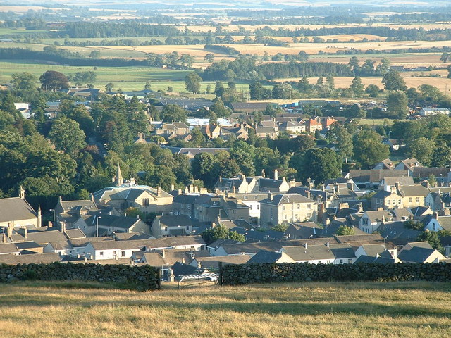
Duns, Scottish Borders
Duns is a town in the Scottish Borders, Scotland. It was the county town of the historic county of Berwickshire. == History == === Early history === Duns...
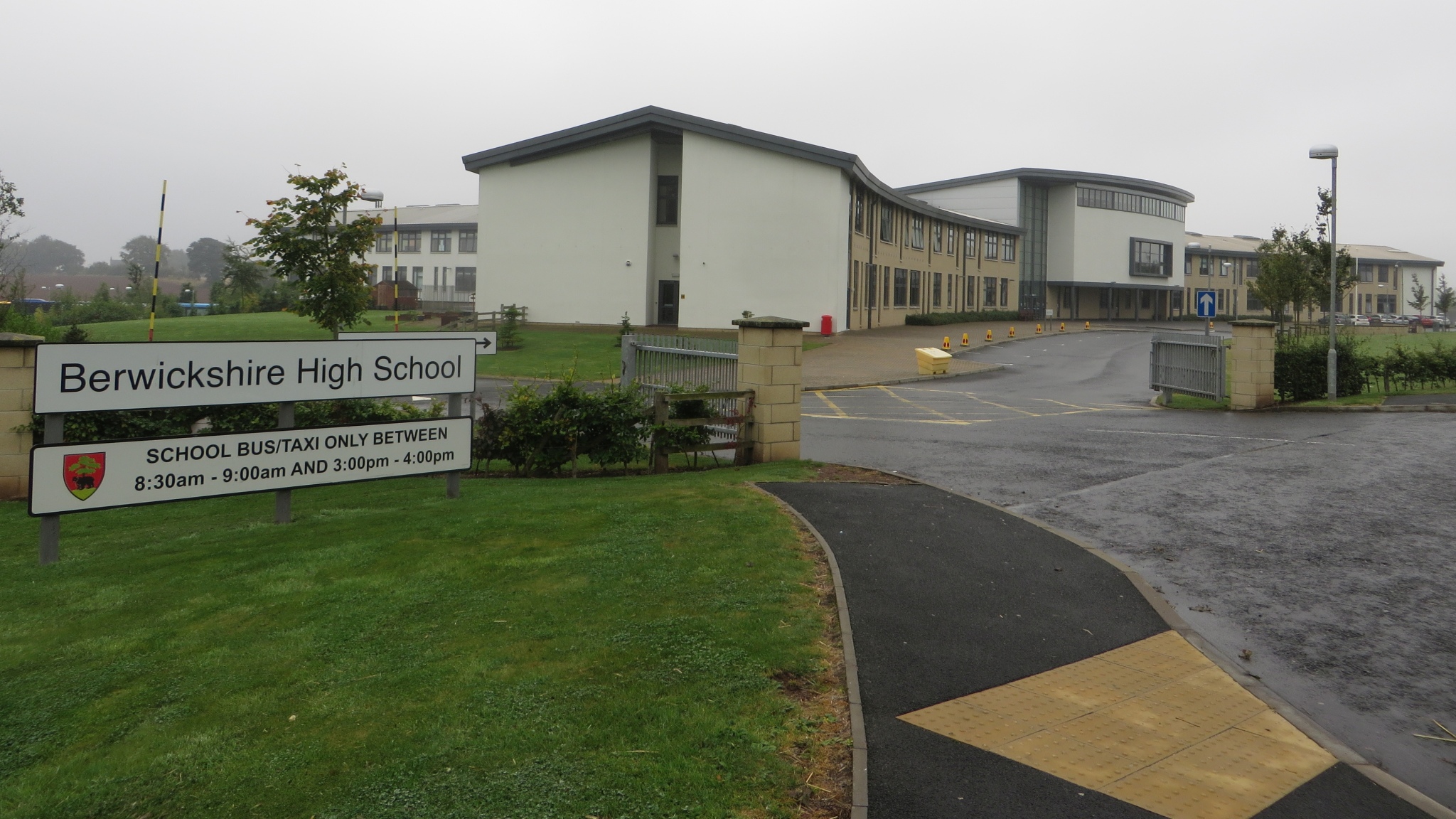
Berwickshire High School
Berwickshire High School is a six-year comprehensive school located west of Duns, Scotland. == History == It was first opened in 1896, by Walter John Mabbott...
Nearby Amenities
Located within 500m of 55.804956,-2.3611714Have you been to Baramill Plantation?
Leave your review of Baramill Plantation below (or comments, questions and feedback).