Balbridie Plantation
Wood, Forest in Kincardineshire
Scotland
Balbridie Plantation
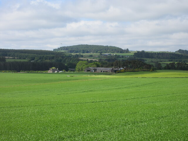
Balbridie Plantation is a picturesque woodland located in Kincardineshire, Scotland. Covering an area of approximately 500 acres, it is one of the largest plantations in the region. The plantation boasts a diverse range of tree species, including Scots pine, oak, birch, and beech, creating a rich and vibrant forest ecosystem.
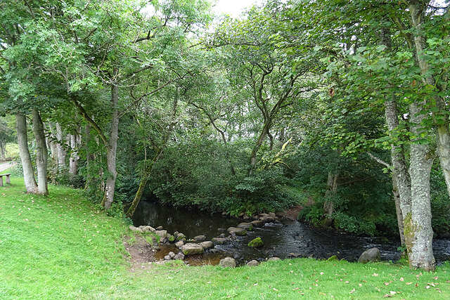
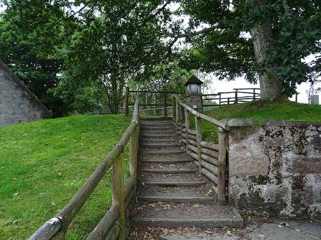
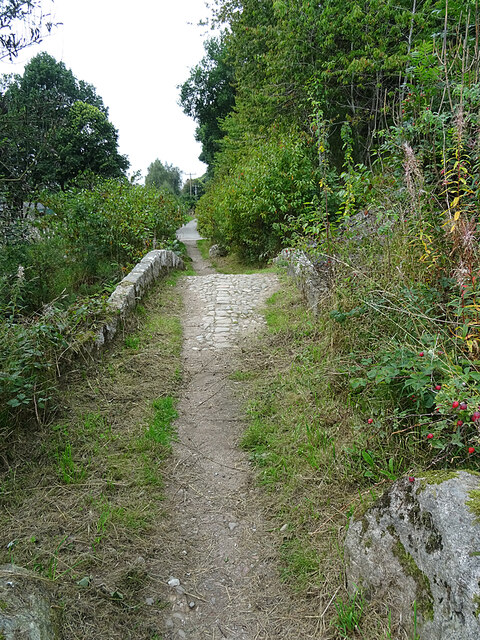
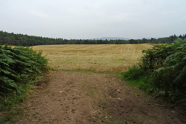
The woodland is well-known for its breathtaking beauty and tranquil atmosphere, making it a popular destination for nature enthusiasts and hikers. The extensive network of footpaths and trails that crisscross the plantation allows visitors to explore its hidden gems and enjoy its natural wonders. From towering trees to lush undergrowth, Balbridie Plantation offers a stunning display of flora and fauna throughout the year.
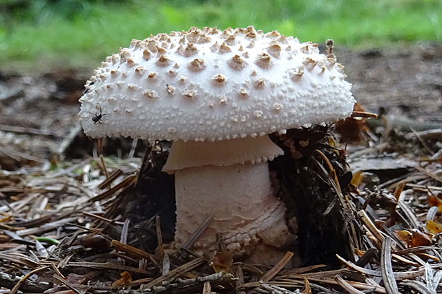
The plantation also serves as an important habitat for various wildlife species. It is home to a wide range of bird species, including woodpeckers, owls, and songbirds, making it a paradise for birdwatchers. Additionally, the woodland provides shelter and a source of food for mammals such as red squirrels, deer, and foxes.
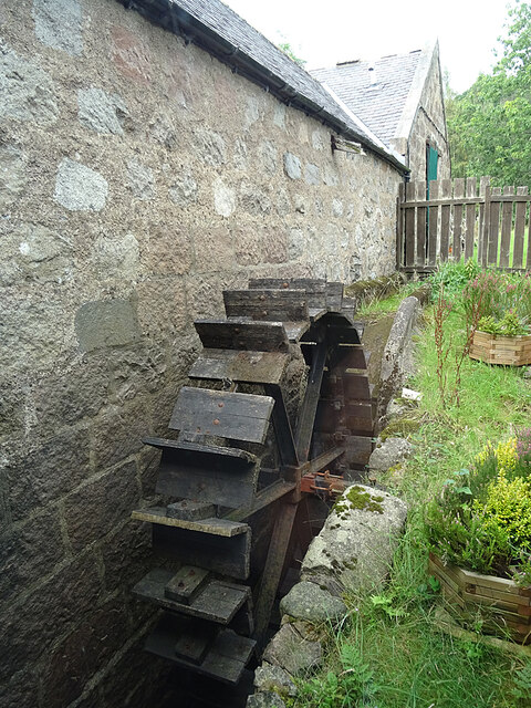
Balbridie Plantation has a rich history dating back centuries. It was originally part of the Balbridie Estate, which was owned by the local aristocracy. Today, remnants of the estate's past can still be seen within the woodland, such as ancient stone walls and ruins. These historical features add an extra layer of charm and intrigue to the plantation's already enchanting landscape.
In summary, Balbridie Plantation is a spectacular woodland in Kincardineshire, Scotland, offering visitors a chance to immerse themselves in nature's beauty. With its diverse tree species, abundant wildlife, and historical significance, it is a must-visit destination for anyone seeking a peaceful and captivating experience in the heart of nature.
If you have any feedback on the listing, please let us know in the comments section below.
Balbridie Plantation Images
Images are sourced within 2km of 57.047404/-2.4327176 or Grid Reference NO7395. Thanks to Geograph Open Source API. All images are credited.


Balbridie Plantation is located at Grid Ref: NO7395 (Lat: 57.047404, Lng: -2.4327176)
Unitary Authority: Aberdeenshire
Police Authority: North East
What 3 Words
///replenish.dynamic.motive. Near Banchory, Aberdeenshire
Nearby Locations
Related Wikis

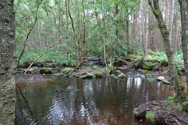
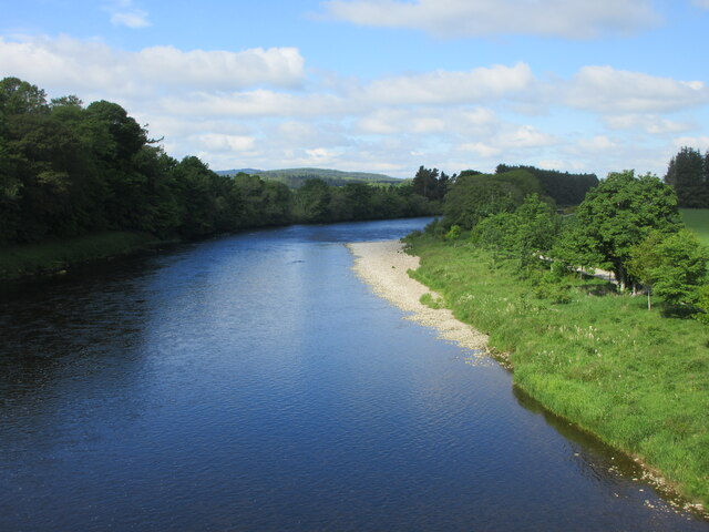
Coy Burn
Coy Burn is a stream that rises in the hills north of Banchory in Aberdeenshire, Scotland. Coy Burn discharges to the River Dee at Milton of Crathes....

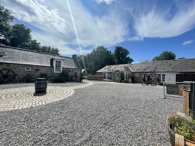
Milton of Crathes
Milton of Crathes is a complex of restored 17th-century stone buildings, associated with, and previously an outlier of, Crathes Castle in Aberdeenshire...

Banchory St Ternan F.C.
Banchory St. Ternan Football Club are a Scottish Junior football club based in Crathes, two miles outside the town of Banchory, Aberdeenshire. The club...

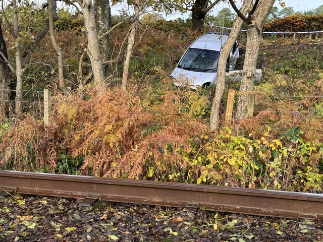
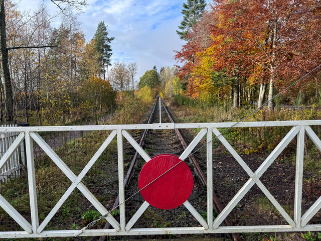
Milton of Crathes railway station
Milton of Crathes railway station is located at Milton of Crathes, three miles east of Banchory, Royal Deeside, Aberdeenshire, Scotland, United Kingdom...

Royal Deeside Railway
The Royal Deeside Railway is a Scottish heritage railway located at Milton of Crathes railway station on a part of the original Deeside Railway. ��2�...
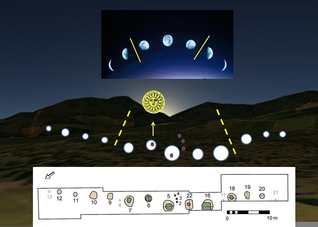
Warren Field
Warren Field is the location of a mesolithic calendar monument built about 8,000 BCE. It includes 12 pits believed to correlate with phases of the Moon...

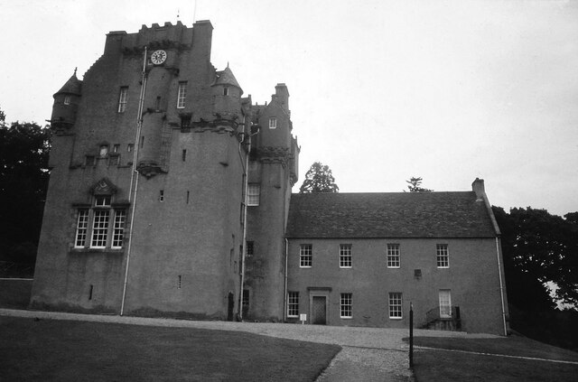
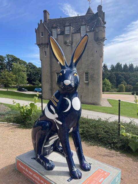
Crathes Castle
Crathes Castle (pronounced KRATH-iss) is a castle, built in the 16th-century, near Banchory in Aberdeenshire, Scotland. It is in the historic county of...

Tilquhillie Castle
Tilquhillie Castle is a castle near Banchory in Aberdeenshire, Scotland. A Category A listed building, the castle formally formed part of the lands of...
Have you been to Balbridie Plantation?
Leave your review of Balbridie Plantation below (or comments, questions and feedback).