Bella's Belt
Wood, Forest in Kincardineshire
Scotland
Bella's Belt
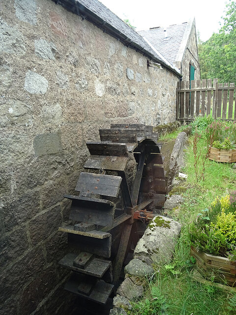
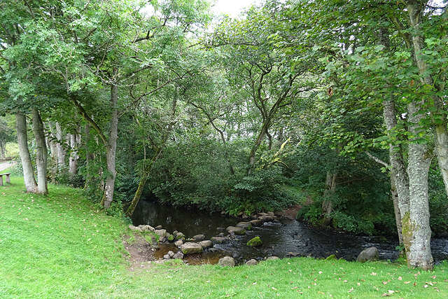
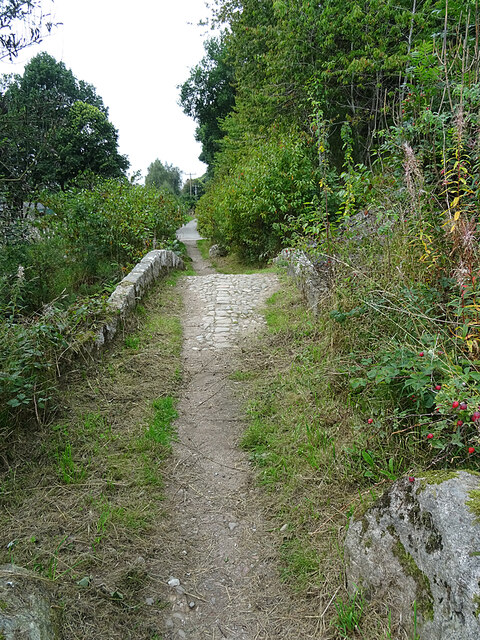
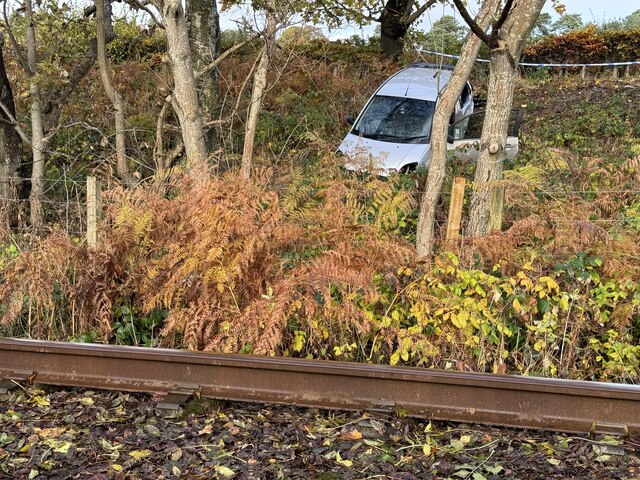
Bella's Belt is a picturesque wooded area located in Kincardineshire, Scotland. Situated amidst the stunning landscape of the region, this forested belt is known for its natural beauty and diverse flora and fauna.
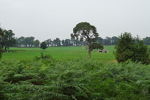
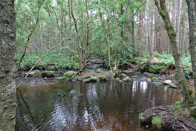
Covering a vast expanse of land, Bella's Belt is predominantly composed of various species of trees, including oak, birch, and pine. These trees create a dense canopy that provides shade and shelter for numerous wildlife species. The forest floor boasts a rich carpet of mosses, ferns, and wildflowers, adding to its charm and ecological significance.
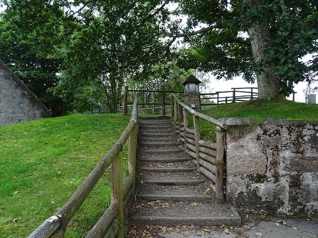
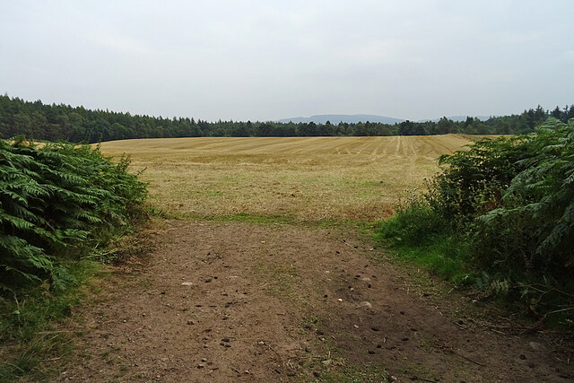
Bella's Belt is a haven for nature enthusiasts and outdoor adventurers. It offers a network of well-maintained trails that meander through the forest, allowing visitors to explore its enchanting surroundings. Hiking or walking along these paths provides an opportunity to soak in the tranquility and serenity of the forest, while birdwatchers can delight in spotting a variety of avian species that call this place home.
The forest also serves as a habitat for various mammals, including red squirrels, roe deer, and badgers. The undergrowth supports a multitude of small mammals like voles and shrews, which in turn attract predators such as owls and foxes. Bella's Belt has been recognized as an important conservation area, and efforts are made to preserve its biodiversity and protect its delicate ecosystem.
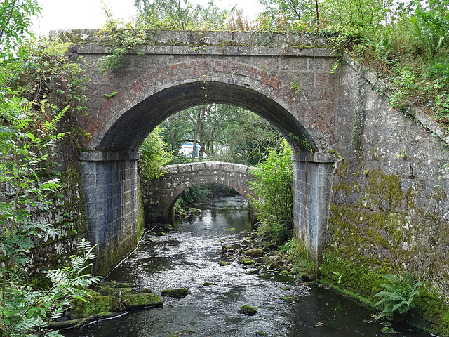
In addition to its natural wonders, Bella's Belt has a rich historical and cultural significance. Traces of ancient settlements and archaeological sites can be found within the forest, providing glimpses into the area's past.
Overall, Bella's Belt in Kincardineshire is a captivating woodland, offering a unique blend of natural beauty, recreational opportunities, and cultural heritage.
If you have any feedback on the listing, please let us know in the comments section below.
Bella's Belt Images
Images are sourced within 2km of 57.050029/-2.445259 or Grid Reference NO7395. Thanks to Geograph Open Source API. All images are credited.


Bella's Belt is located at Grid Ref: NO7395 (Lat: 57.050029, Lng: -2.445259)
Unitary Authority: Aberdeenshire
Police Authority: North East
What 3 Words
///crumb.skinning.demand. Near Banchory, Aberdeenshire
Nearby Locations
Related Wikis

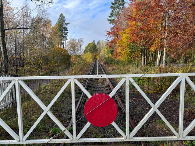
Milton of Crathes railway station
Milton of Crathes railway station is located at Milton of Crathes, three miles east of Banchory, Royal Deeside, Aberdeenshire, Scotland, United Kingdom...

Royal Deeside Railway
The Royal Deeside Railway is a Scottish heritage railway located at Milton of Crathes railway station on a part of the original Deeside Railway. ��2�...

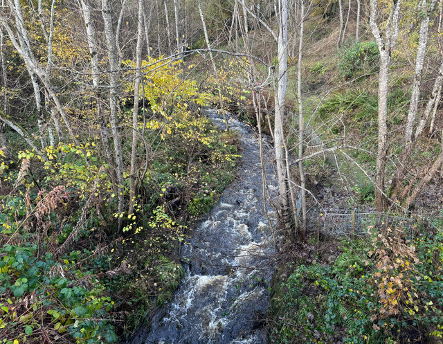
Coy Burn
Coy Burn is a stream that rises in the hills north of Banchory in Aberdeenshire, Scotland. Coy Burn discharges to the River Dee at Milton of Crathes....

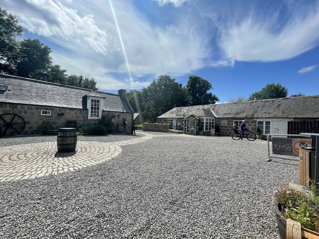
Milton of Crathes
Milton of Crathes is a complex of restored 17th-century stone buildings, associated with, and previously an outlier of, Crathes Castle in Aberdeenshire...

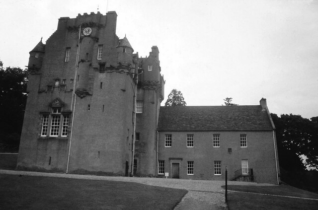
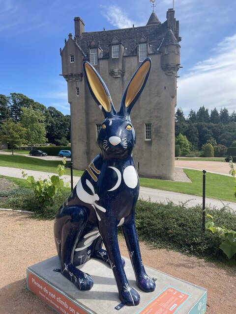
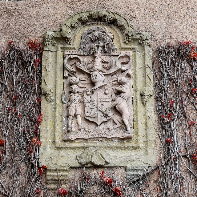
Crathes Castle
Crathes Castle (pronounced KRATH-iss) is a castle, built in the 16th-century, near Banchory in Aberdeenshire, Scotland. It is in the historic county of...

Banchory St Ternan F.C.
Banchory St. Ternan Football Club are a Scottish Junior football club based in Crathes, two miles outside the town of Banchory, Aberdeenshire. The club...
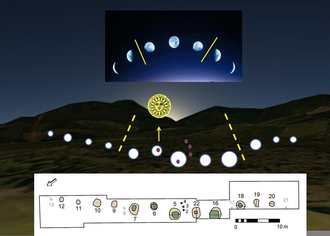
Warren Field
Warren Field is the location of a mesolithic calendar monument built about 8,000 BCE. It includes 12 pits believed to correlate with phases of the Moon...

Tilquhillie Castle
Tilquhillie Castle is a castle near Banchory in Aberdeenshire, Scotland. A Category A listed building, the castle formally formed part of the lands of...
Nearby Amenities
Located within 500m of 57.050029,-2.445259Have you been to Bella's Belt?
Leave your review of Bella's Belt below (or comments, questions and feedback).