Balbridie West Wood
Wood, Forest in Kincardineshire
Scotland
Balbridie West Wood
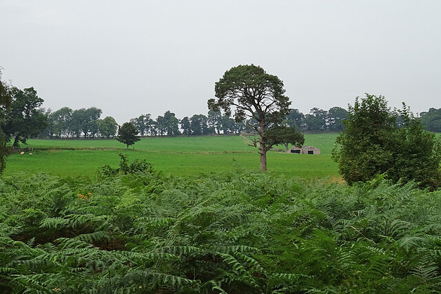
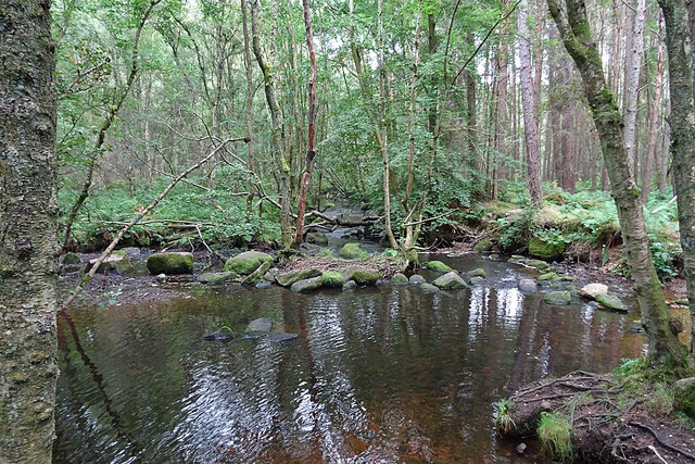
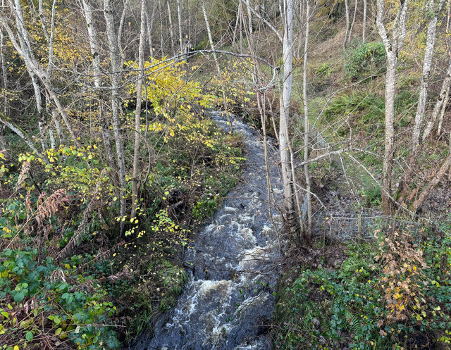
Balbridie West Wood is a picturesque forest located in Kincardineshire, Scotland. Stretching over an area of approximately 100 acres, this ancient woodland is known for its rich biodiversity and stunning natural beauty.
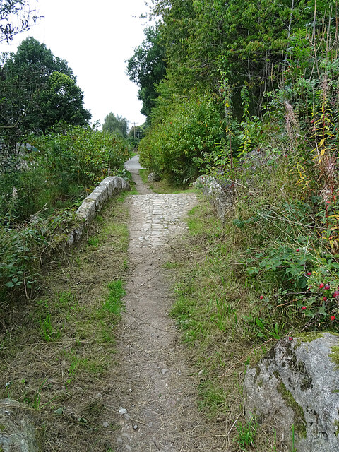
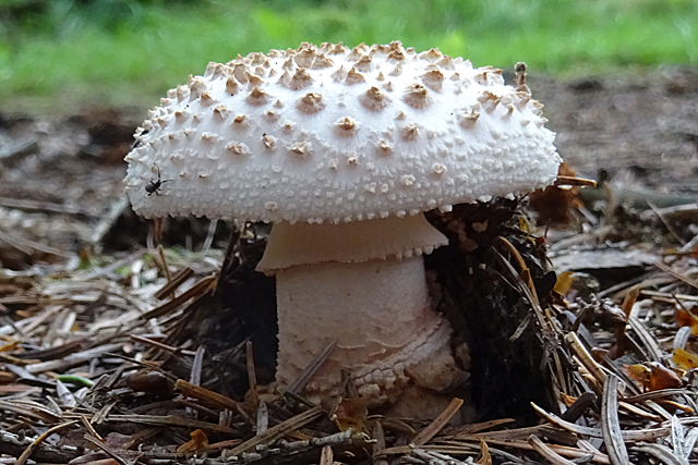
The forest is primarily composed of native tree species such as oak, birch, and rowan, which create a dense canopy providing a peaceful and shady environment. The forest floor is covered with a diverse range of plants, including ferns, bluebells, and wild garlic, adding to the enchanting atmosphere.
Balbridie West Wood is home to a variety of wildlife, making it a haven for nature enthusiasts. The forest provides a habitat for numerous bird species, including woodpeckers, owls, and songbirds. Visitors may be lucky enough to spot red squirrels, badgers, and even deer roaming freely among the trees.
The forest also holds historical significance, with traces of ancient settlements found within its boundaries. Balbridie West Wood is known for the Balbridie timber hall, which is considered one of the oldest wooden structures in Scotland. This archaeological site dates back to the Neolithic period and offers valuable insights into the lives of our ancestors.
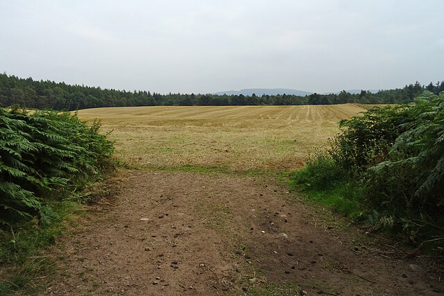
The forest offers various walking trails, allowing visitors to explore its hidden gems and appreciate its natural wonders. It is a popular destination for hikers, nature lovers, and families seeking a tranquil escape from the hustle and bustle of everyday life. With its captivating beauty and rich history, Balbridie West Wood is a must-visit destination for anyone seeking a true Scottish woodland experience.
If you have any feedback on the listing, please let us know in the comments section below.
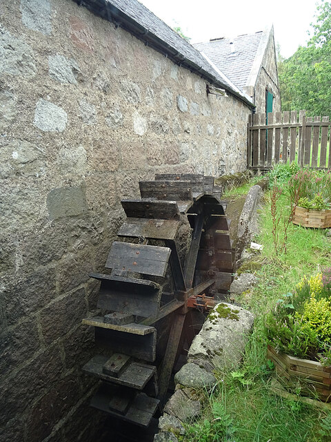
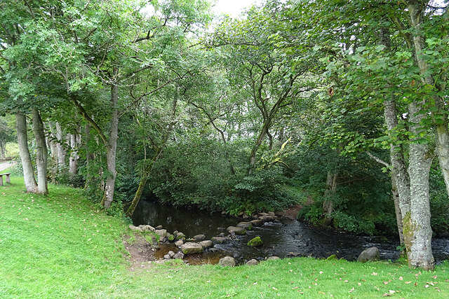
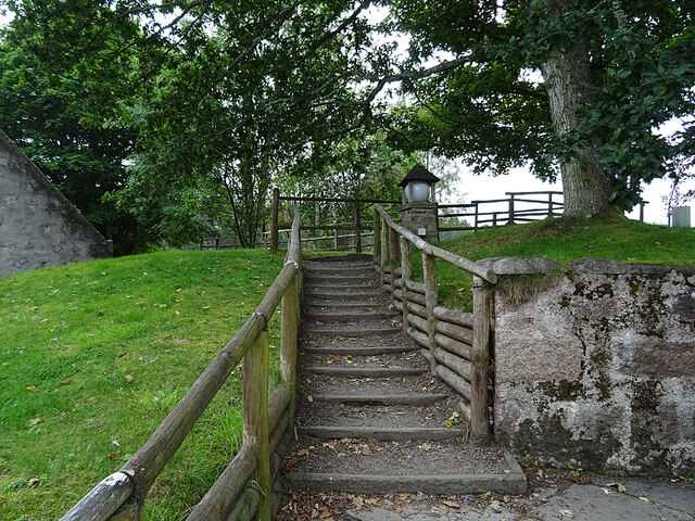
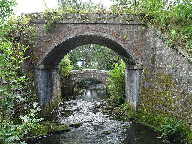
Balbridie West Wood Images
Images are sourced within 2km of 57.049892/-2.4408068 or Grid Reference NO7395. Thanks to Geograph Open Source API. All images are credited.

Balbridie West Wood is located at Grid Ref: NO7395 (Lat: 57.049892, Lng: -2.4408068)
Unitary Authority: Aberdeenshire
Police Authority: North East
What 3 Words
///imagined.eyepieces.marbles. Near Banchory, Aberdeenshire
Nearby Locations
Related Wikis

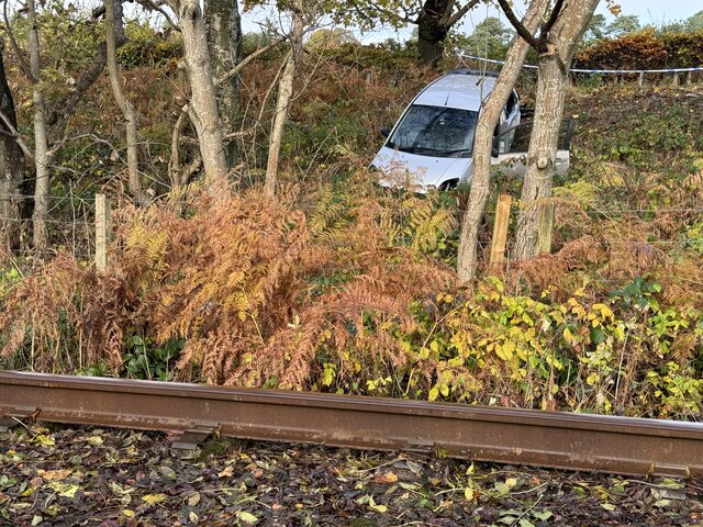
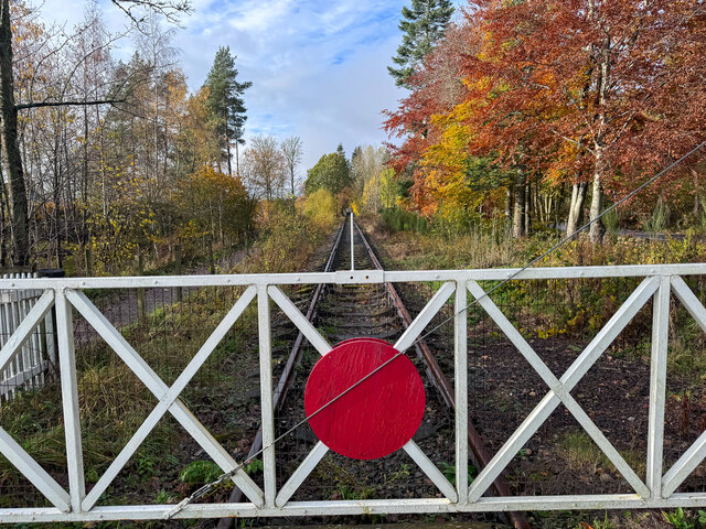
Milton of Crathes railway station
Milton of Crathes railway station is located at Milton of Crathes, three miles east of Banchory, Royal Deeside, Aberdeenshire, Scotland, United Kingdom...

Coy Burn
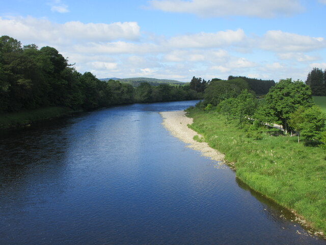
Coy Burn is a stream that rises in the hills north of Banchory in Aberdeenshire, Scotland. Coy Burn discharges to the River Dee at Milton of Crathes....

Royal Deeside Railway
The Royal Deeside Railway is a Scottish heritage railway located at Milton of Crathes railway station on a part of the original Deeside Railway. ��2�...

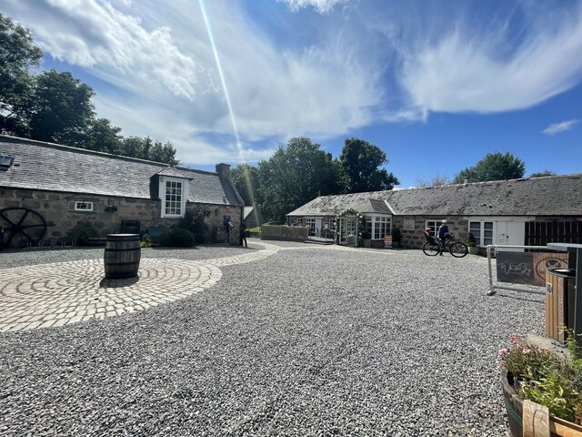
Milton of Crathes
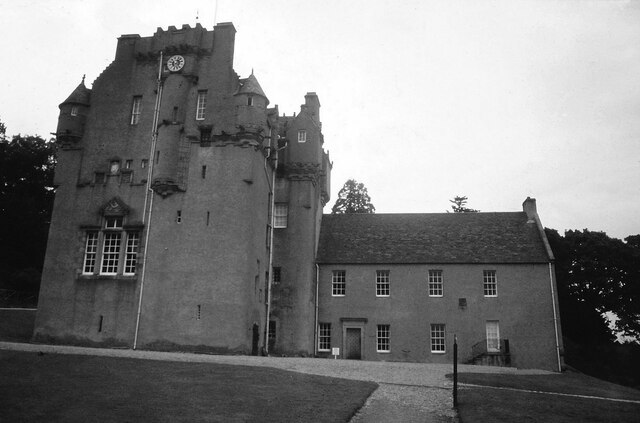
Milton of Crathes is a complex of restored 17th-century stone buildings, associated with, and previously an outlier of, Crathes Castle in Aberdeenshire...
Related Videos

Banchory Scotland Walking Tour 4K, Dec 2022
Banchory Scotland Walking Tour 4K, Dec 2022 - Banchory on Deeside is in Aberdeenshire. It is about 18 miles (29 km) west of ...

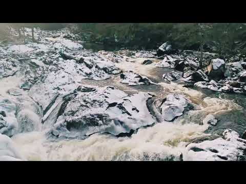
Snowy Waterfall in Scotland #shorts #waterfall #ambient #scotland #walking #exploring #scenery
This Snowy Waterfall in Scotland is located near Banchory and is called the Falls of Feugh #shorts #waterfall #ambient #scotland ...
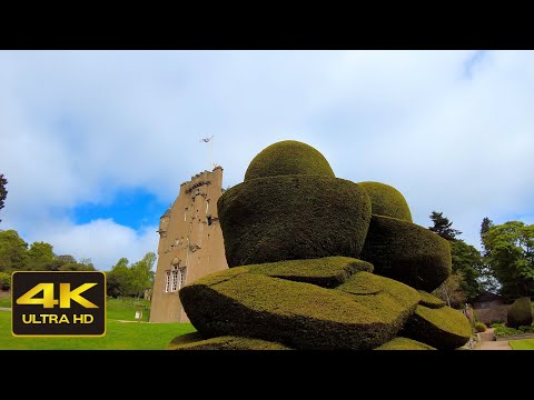
Crathes Castle’s Gardens Walk, Scotland Travel
Crathes Castle's Gardens Walk, Scotland Travel. The video was recorded on location by DJI Pocket 2 and Zoom H5 audio ...
Nearby Amenities
Located within 500m of 57.049892,-2.4408068Have you been to Balbridie West Wood?
Leave your review of Balbridie West Wood below (or comments, questions and feedback).