Mill Wood

Wood, Forest in Aberdeenshire

Scotland

Mill Wood

Road near Inveramsay Minor road heading north towards the Mains of Inveramsay in the distance to the left.
Road near Inveramsay Credit: Scott Cormie

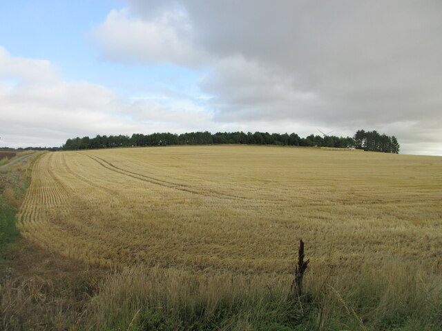
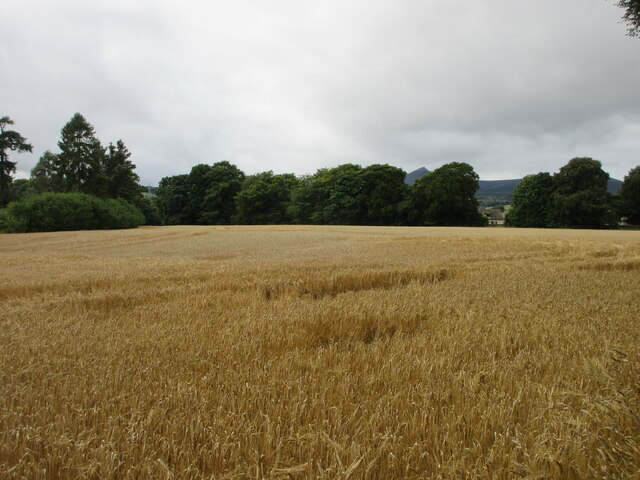
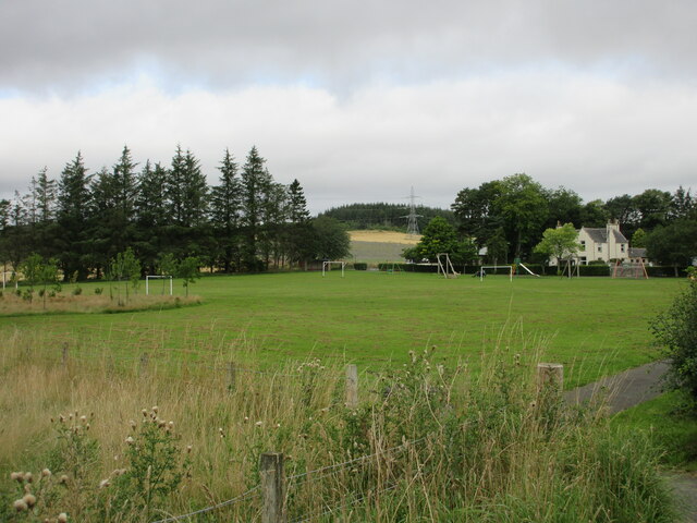
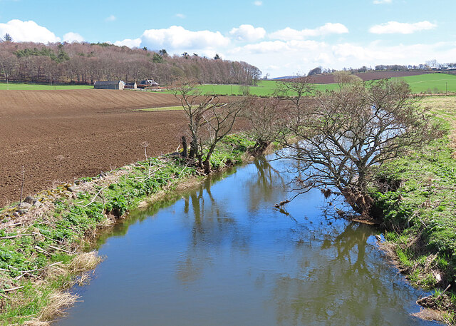
Mill Wood is a picturesque forest located in Aberdeenshire, Scotland. Covering an area of approximately 100 acres, this woodland is renowned for its natural beauty, diverse flora and fauna, and tranquil atmosphere.

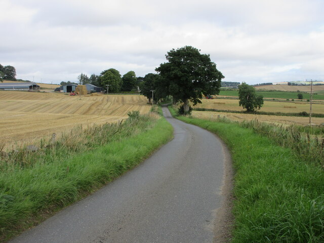
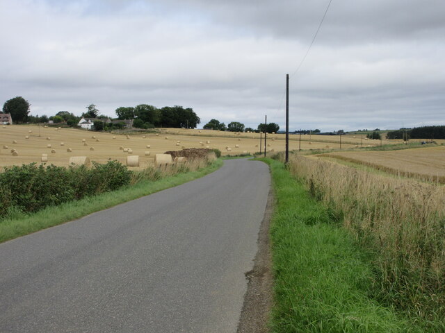
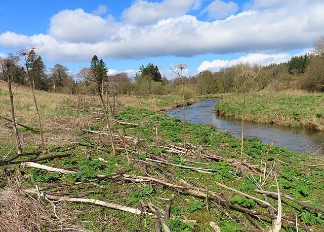
Situated near the town of Banchory, Mill Wood is easily accessible to both locals and tourists alike. The forest is characterized by a mixture of broadleaf and coniferous trees, including oak, beech, pine, and spruce. The dense canopy provides shade and creates a cool and peaceful environment for visitors to enjoy.

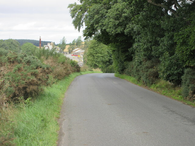
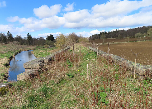
The woodland is crisscrossed by a network of well-maintained trails, making it an ideal location for walkers, hikers, and nature enthusiasts. These trails wind through the forest, offering stunning views of the surrounding countryside and opportunities to spot wildlife such as red squirrels, deer, and a variety of bird species.

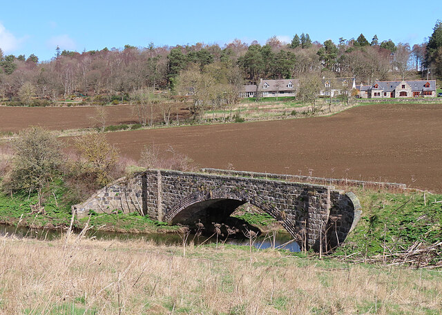
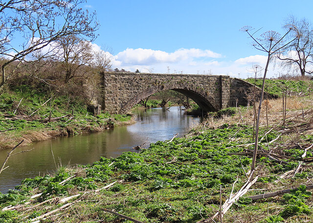
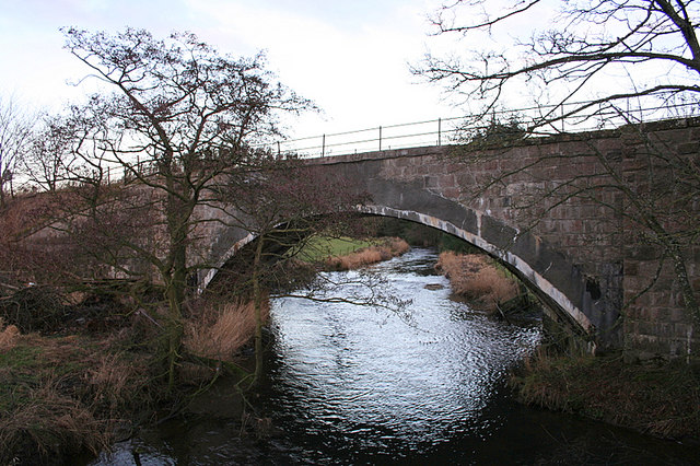
In addition to its natural beauty, Mill Wood also holds historical significance. The remains of an old watermill can be found within the forest, serving as a reminder of the area's industrial past. Interpretive signage along the trails provides information about the mill and its historical context.

Mill Wood is a popular destination for outdoor activities such as picnicking, camping, and photography. Its peaceful ambiance and scenic vistas make it a perfect spot for relaxation and connecting with nature. Whether one seeks a leisurely stroll, a challenging hike, or a peaceful retreat, Mill Wood offers something for everyone.

If you have any feedback on the listing, please let us know in the comments section below.

Mill Wood Images

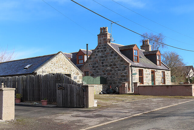
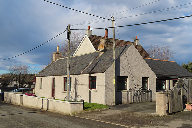
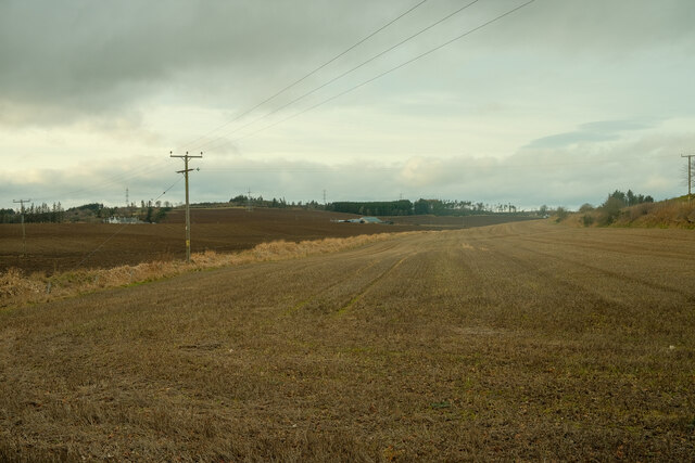
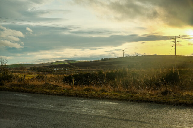
Images are sourced within 2km of 57.326503/-2.4443479 or Grid Reference NJ7326. Thanks to Geograph Open Source API. All images are credited.

Road near Inveramsay Minor road heading north towards the Mains of Inveramsay in the distance to the left.
Road near Inveramsay
Minor road heading north towards the Mains of Inveramsay in the distance to the left.
Field near the Hill of Den Looking northwards over a stubble field near the Hill of Den.
Field near the Hill of Den
Looking northwards over a stubble field near the Hill of Den.
C76C (Aberdeenshire) Road near Pitcaple The C76C road heading west towards Pitcaple Quarry.
C76C (Aberdeenshire) Road near Pitcaple
The C76C road heading west towards Pitcaple Quarry.
Field near Pitcaple Looking south-westwards over a field of wheat amidst the woodlands at Pitcaple.
Field near Pitcaple
Looking south-westwards over a field of wheat amidst the woodlands at Pitcaple.
Park at Logie Durno Recreation area at Logie Durno to the north of Whiteford.
Park at Logie Durno
Recreation area at Logie Durno to the north of Whiteford.
C83C (Aberdeenshire) Road The C83C road heading north towards Durno from Whiteford.
C83C (Aberdeenshire) Road
The C83C road heading north towards Durno from Whiteford.
Old Gate Fortunately this gate is not being called upon to contain livestock in the field. The distinctively shaped hill in the distance is Bennachie (pronounce it 'ben-a HEE', with the stress on the last syllable.)
Old Gate
Fortunately this gate is not being called upon to contain livestock in the field. The distinctively shaped hill in the distance is Bennachie (pronounce it 'ben-a HEE', with the stress on the last syllable.)
Whiteford A row of traditional stone cottages on the north side of the main street in Whiteford.
Whiteford
A row of traditional stone cottages on the north side of the main street in Whiteford.
Houses in Whiteford A modern house with a summerhouse in its garden, beside a traditional stone cottage in Whiteford Road.
Houses in Whiteford
A modern house with a summerhouse in its garden, beside a traditional stone cottage in Whiteford Road.
House in Whiteford A traditional 1½ storey house set back from the main road in Whiteford.
House in Whiteford
A traditional 1½ storey house set back from the main road in Whiteford.
Sunnybank A traditional cottage with two extensions and a plethora of poles and wires around it.
Sunnybank
A traditional cottage with two extensions and a plethora of poles and wires around it.
Looking over the fields A simple shot taken over the fields for the layby
Looking over the fields
A simple shot taken over the fields for the layby
View from a layby A simple view from this layby over the fields
View from a layby
A simple view from this layby over the fields
Pitcaple Railway Bridge This bridge carried the Macduff Section of the Great North of Scotland Railway across the River Urie. In the background is Mill of Pitcaple.
Pitcaple Railway Bridge
This bridge carried the Macduff Section of the Great North of Scotland Railway across the River Urie. In the background is Mill of Pitcaple.
The Banks of the River Urie This is a no-go area in summer. All the bright sprouting greenery is Giant Hogweed (Heracleum mantegazzianum), an invasive alien with noxious sap that can cause permanent skin damage. A few of last year's dead stems still stand, while others litter the ground.
The Banks of the River Urie
This is a no-go area in summer. All the bright sprouting greenery is Giant Hogweed (Heracleum mantegazzianum), an invasive alien with noxious sap that can cause permanent skin damage. A few of last year's dead stems still stand, while others litter the ground.
Pitcaple Railway Bridge In a few weeks this view won't exist, because all those bright green leaves are Giant Hogweed (Heracleum mantegazzianum), an invasive alien with noxious sap that can cause permanent skin damage. It will, however, be visible again in autumn and winter after the plants have died down.
Pitcaple Railway Bridge
In a few weeks this view won't exist, because all those bright green leaves are Giant Hogweed (Heracleum mantegazzianum), an invasive alien with noxious sap that can cause permanent skin damage. It will, however, be visible again in autumn and winter after the plants have died down.
Pitcaple Railway Bridge The bridge appears to be sound, and there is a path across it and along the former railway trackbed. The bridge carried the Macduff Section of the Great North of Scotland Railway across the River Urie. However it's not a place to plan a summer visit. The bright green leaf rosettes are Giant Hogweed (Heracleum mangegazzianum).
Pitcaple Railway Bridge
The bridge appears to be sound, and there is a path across it and along the former railway trackbed. The bridge carried the Macduff Section of the Great North of Scotland Railway across the River Urie. However it's not a place to plan a summer visit. The bright green leaf rosettes are Giant Hogweed (Heracleum mangegazzianum).
River Urie Looking downriver from the old railway bridge at Pitcaple. The bright green vegetation on the banks is mostly Giant Hogweed, an invasive alien with noxious sap that can cause permanent skin damage. The farm in the distance is Legatesden.
River Urie
Looking downriver from the old railway bridge at Pitcaple. The bright green vegetation on the banks is mostly Giant Hogweed, an invasive alien with noxious sap that can cause permanent skin damage. The farm in the distance is Legatesden.
Show me another place!

Mill Wood is located at Grid Ref: NJ7326 (Lat: 57.326503, Lng: -2.4443479)

Unitary Authority: Aberdeenshire

Police Authority: North East

What 3 Words

///casually.finishers.variety. Near Inverurie, Aberdeenshire

Related Wikis

Inveramsay railway station

Inveramsay railway station was a railway station in the parish of Chapel of Garioch, near the Mill of Inveramsay, Aberdeenshire. It served the sparsely...

Pitcaple railway station

Pitcaple railway station is a former railway station in Aberdeenshire. It opened on 20 September 1854, and closed down on 6 May 1968. It was part of the...

Pitcaple

Pitcaple (Scottish Gaelic: Baile Chapaill) is a hamlet in Aberdeenshire, Scotland on the River Urie 4 miles (6 km) northwest of Inverurie. Nearby Pitcaple...

Inveramsay Bridge

The Inveramsay Bridge is a new bridge carrying the A96 over the Aberdeen to Inverness Line. The bridge was constructed by Balfour Beatty. It was inaugurated...

Nearby Amenities

Located within 500m of 57.326503,-2.4443479
Ele: 106
Natural: peak
Lat/Long: 57.3272282/-2.4442968
Power: pole
Lat/Long: 57.3279557/-2.4472398
Power: pole
Lat/Long: 57.3277724/-2.448563
Power: pole
Lat/Long: 57.3275654/-2.4499801
Power: pole
Lat/Long: 57.3273604/-2.451355
Power: pole
Lat/Long: 57.3274081/-2.4431553
Power: pole
Lat/Long: 57.3270219/-2.4418878
Power: pole
Lat/Long: 57.3266182/-2.4405915
Power: pole
Lat/Long: 57.3259163/-2.4397822
Power: pole
Lat/Long: 57.3251958/-2.4389576
Power: pole
Lat/Long: 57.3247889/-2.4385013
Power: pole
Lat/Long: 57.3249121/-2.4376939
Power: pole
Lat/Long: 57.3246657/-2.439554
Power: pole
Lat/Long: 57.3245249/-2.4407084
Power: pole
Lat/Long: 57.3243996/-2.4417938
Power: pole
Lat/Long: 57.3242744/-2.4428868
Power: pole
Lat/Long: 57.3242723/-2.4380334
Power: pole
Lat/Long: 57.3237981/-2.4507433
Power: pole
Lat/Long: 57.3243965/-2.4510329
Power: pole
Lat/Long: 57.3249918/-2.451332
Power: pole
Lat/Long: 57.3256005/-2.4516369
Power: pole
Lat/Long: 57.3260737/-2.4518747
Power: pole
Lat/Long: 57.3265664/-2.4522026
The data included in this document is from www.openstreetmap.org. The data is made available under ODbL.

Have you been to Mill Wood?

Leave your review of Mill Wood below (or comments, questions and feedback).