Mill of Pitcaple
Settlement in Aberdeenshire
Scotland
Mill of Pitcaple
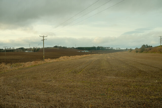
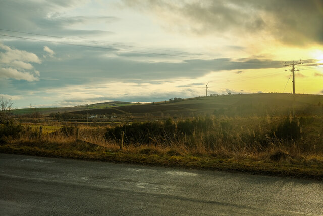
Mill of Pitcaple is a small rural settlement located in the Aberdeenshire region of Scotland. Situated approximately 20 miles north of the city of Aberdeen, this village is nestled within the picturesque countryside, surrounded by rolling hills and farmland.
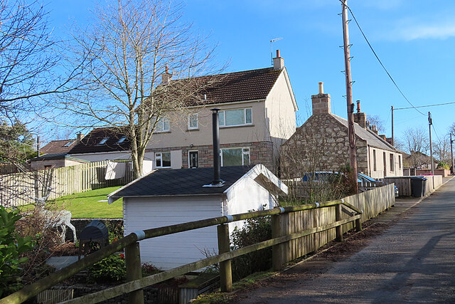
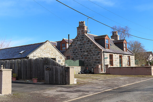
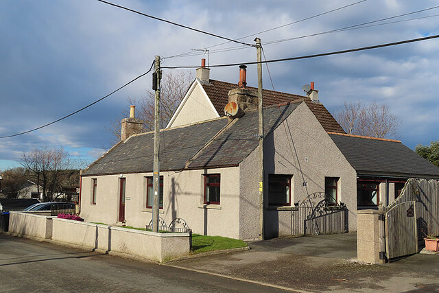
Historically, Mill of Pitcaple was primarily an agricultural community, with its name originating from the presence of a mill that once operated in the area. Today, it maintains its rural character, with a mix of residential properties and working farms.
The village itself is relatively small, with a population of around 200 residents. It offers a peaceful and close-knit community atmosphere, where neighbors often know each other and come together for local events and activities. The village is served by a small primary school, providing education for the local children.
Although a rural location, Mill of Pitcaple benefits from its proximity to nearby towns and amenities. The larger towns of Inverurie and Huntly are just a short drive away, offering a range of shops, services, and recreational facilities. The village is also conveniently located near major transportation routes, providing easy access to both Aberdeen and Inverness.
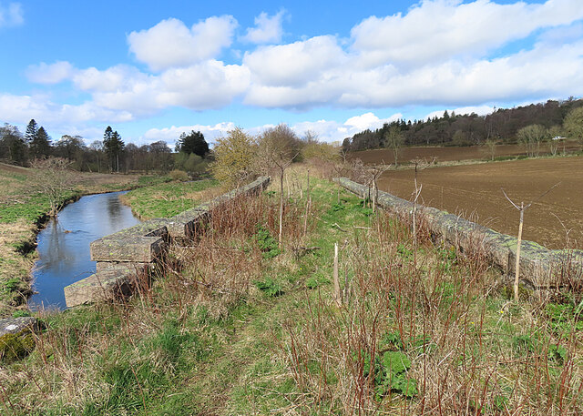
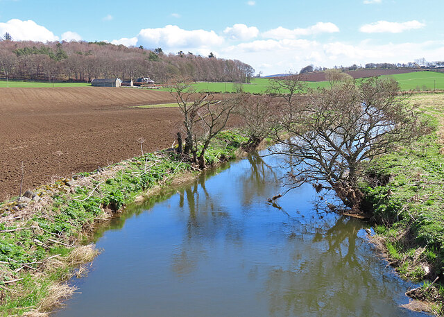
The surrounding area of Mill of Pitcaple is known for its scenic beauty and opportunities for outdoor activities. Residents and visitors can enjoy exploring the nearby nature reserves, hiking trails, and fishing spots. The charming countryside setting, coupled with the tranquility of village life, makes Mill of Pitcaple an appealing place to live or visit for those seeking a peaceful retreat amidst the natural beauty of Aberdeenshire.
If you have any feedback on the listing, please let us know in the comments section below.
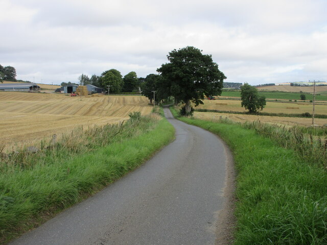
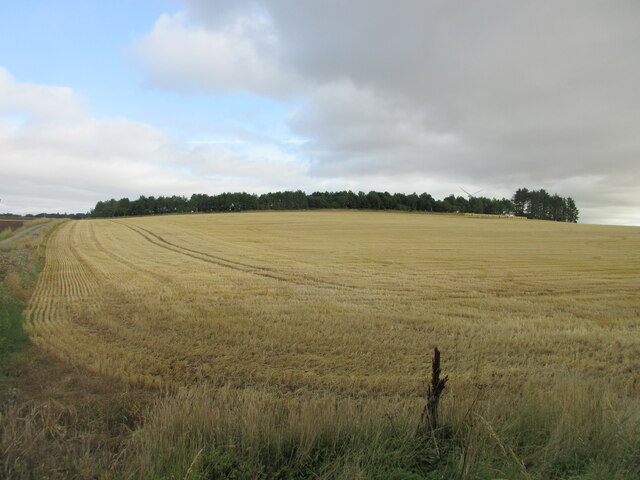
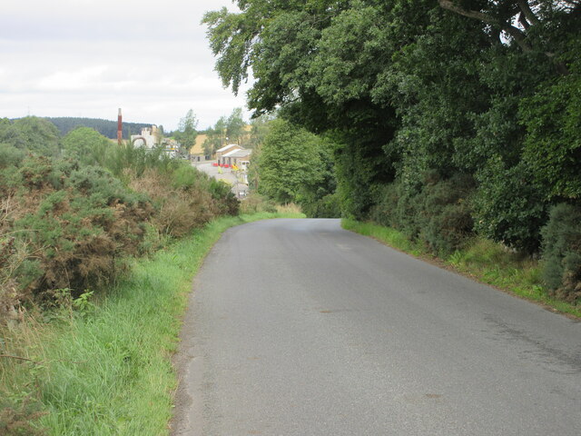
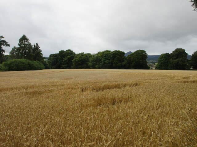
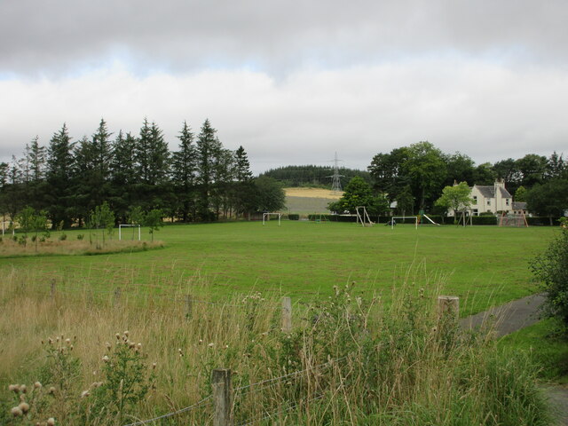
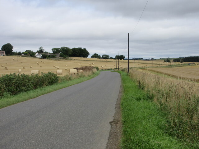
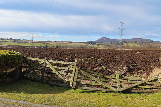
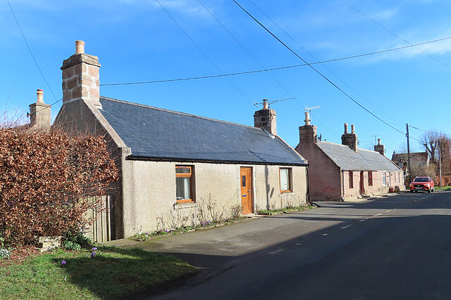
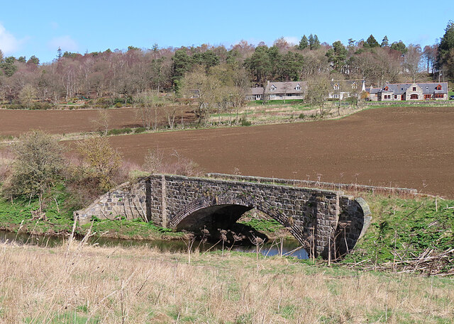
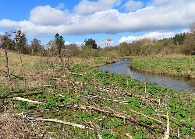
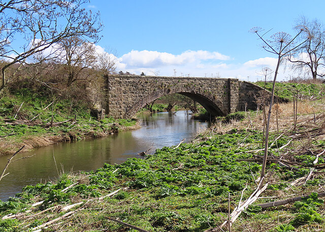
Mill of Pitcaple Images
Images are sourced within 2km of 57.323744/-2.4499937 or Grid Reference NJ7326. Thanks to Geograph Open Source API. All images are credited.
Mill of Pitcaple is located at Grid Ref: NJ7326 (Lat: 57.323744, Lng: -2.4499937)
Unitary Authority: Aberdeenshire
Police Authority: North East
What 3 Words
///ultra.easy.translate. Near Inverurie, Aberdeenshire
Nearby Locations
Related Wikis

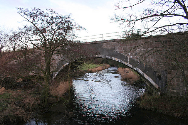
Pitcaple railway station
Pitcaple railway station is a former railway station in Aberdeenshire. It opened on 20 September 1854, and closed down on 6 May 1968. It was part of the...

Pitcaple
Pitcaple (Scottish Gaelic: Baile Chapaill) is a hamlet in Aberdeenshire, Scotland on the River Urie 4 miles (6 km) northwest of Inverurie. Nearby Pitcaple...
Inveramsay railway station
Inveramsay railway station was a railway station in the parish of Chapel of Garioch, near the Mill of Inveramsay, Aberdeenshire. It served the sparsely...

Inveramsay Bridge
The Inveramsay Bridge is a new bridge carrying the A96 over the Aberdeen to Inverness Line. The bridge was constructed by Balfour Beatty. It was inaugurated...
Nearby Amenities
Located within 500m of 57.323744,-2.4499937Have you been to Mill of Pitcaple?
Leave your review of Mill of Pitcaple below (or comments, questions and feedback).