Glack Wood

Wood, Forest in Aberdeenshire

Scotland

Glack Wood

Farm Track A track near Achath Farm.
Farm Track Credit: Andrew Wood

Glack Wood is a stunning forest located in Aberdeenshire, Scotland. It covers an area of approximately 100 hectares and is renowned for its natural beauty and rich biodiversity. The wood is situated near the small village of Torphins, offering a peaceful retreat for nature enthusiasts and outdoor adventurers alike.

The forest is predominantly composed of native broadleaf trees, such as oak, birch, and hazel. These towering giants create a dense canopy that provides shelter for a wide variety of wildlife species. Glack Wood is particularly known for its vibrant birdlife, with species like the great spotted woodpecker, tree pipit, and redstart frequenting the area. Visitors may also spot mammals such as roe deer, red squirrels, and badgers roaming the woodland.

Glack Wood offers a network of well-maintained trails, providing visitors the opportunity to explore its enchanting surroundings. These trails range in difficulty, catering to both leisurely strollers and avid hikers. The forest's serene atmosphere and picturesque scenery make it an idyllic spot for a peaceful walk or a picnic amidst nature.

The woodland is managed by the Forestry and Land Scotland, ensuring its conservation and protection. They actively work to maintain the wood's natural balance and promote sustainable practices. Glack Wood serves as an important habitat for rare and endangered species, contributing to the region's biodiversity.

Overall, Glack Wood is a captivating destination for nature lovers seeking tranquility and an escape from the hustle and bustle of everyday life. Its diverse flora and fauna, combined with its well-maintained trails, make it a must-visit location for anyone exploring Aberdeenshire.

If you have any feedback on the listing, please let us know in the comments section below.

Glack Wood Images

Images are sourced within 2km of 57.185955/-2.4343038 or Grid Reference NJ7310. Thanks to Geograph Open Source API. All images are credited.

Farm Track A track near Achath Farm.
Farm Track
A track near Achath Farm.
Back to Glack A view to Glack Wood from near Achath.
Back to Glack
A view to Glack Wood from near Achath.
Achath Farm A farm and house between Dunecht and Castle Fraser.
Achath Farm
A farm and house between Dunecht and Castle Fraser.
A sign of Irony? The western entrance to Dunecht showing a rather battered roadsign.
A sign of Irony?
The western entrance to Dunecht showing a rather battered roadsign.
Viscount Cowdray Arms... ...on the wall of the Dunecht Estate Offices.  We see Pearson (Per fesse indented gules and or, two suns in splendour in chief and a demi-gryphon couped, wings elevated and addorsed, in base all counterchanged) impaling Cass (Per pale argent and azure, a balance suspended between two flaunches*, each charged with a branch of palm slipped,** all counterchanged). The supporters are: Dexter, a diver holding in his exterior hand his helmet; sinister, a Mexican peon (sic), both proper (*a circular arc emerging out of each flank of the shield; **a stem or stalk).  The crest: On a wreath of the colours, in front of a demi-gryphon as in the arms, holding between the paws a millstone proper, thereon a millrind sable, a sun in splendour.  Blazons from Armorial Families by Fox-Davies.  For Viscount Cowdray, see: <span class="nowrap"><a title="https://en.wikipedia.org/wiki/Weetman_Pearson,_1st_Viscount_Cowdray" rel="nofollow ugc noopener" href="https://en.wikipedia.org/wiki/Weetman_Pearson,_1st_Viscount_Cowdray">Link</a><img style="margin-left:2px;" alt="External link" title="External link - shift click to open in new window" src="https://s1.geograph.org.uk/img/external.png" width="10" height="10"/></span> .
Viscount Cowdray Arms...
...on the wall of the Dunecht Estate Offices. We see Pearson (Per fesse indented gules and or, two suns in splendour in chief and a demi-gryphon couped, wings elevated and addorsed, in base all counterchanged) impaling Cass (Per pale argent and azure, a balance suspended between two flaunches*, each charged with a branch of palm slipped,** all counterchanged). The supporters are: Dexter, a diver holding in his exterior hand his helmet; sinister, a Mexican peon (sic), both proper (*a circular arc emerging out of each flank of the shield; **a stem or stalk). The crest: On a wreath of the colours, in front of a demi-gryphon as in the arms, holding between the paws a millstone proper, thereon a millrind sable, a sun in splendour. Blazons from Armorial Families by Fox-Davies. For Viscount Cowdray, see: LinkExternal link .
Dunecht Estate offices Note the Palladian (Venetian) window in the right-hand wing (<span class="nowrap"><a title="https://en.wikipedia.org/wiki/Palladian_architecture" rel="nofollow ugc noopener" href="https://en.wikipedia.org/wiki/Palladian_architecture">Link</a><img style="margin-left:2px;" alt="External link" title="External link - shift click to open in new window" src="https://s1.geograph.org.uk/img/external.png" width="10" height="10"/></span> ).  For more on the Dunecht Estate, see: <span class="nowrap"><a title="http://www.dunechtestates.co.uk/" rel="nofollow ugc noopener" href="http://www.dunechtestates.co.uk/">Link</a><img style="margin-left:2px;" alt="External link" title="External link - shift click to open in new window" src="https://s1.geograph.org.uk/img/external.png" width="10" height="10"/></span> .  Whether you regard it as progressive rural capitalism or neo-feudalism will probably depend on your point of view...
Dunecht Estate offices
Note the Palladian (Venetian) window in the right-hand wing (LinkExternal link ). For more on the Dunecht Estate, see: LinkExternal link . Whether you regard it as progressive rural capitalism or neo-feudalism will probably depend on your point of view...
Works yard for Dunecht Estate The maintenance base, dating from ca. 1922 (see: <span class="nowrap"><a title="http://data.historic-scotland.gov.uk/pls/htmldb/f?p=2200:15:0::::BUILDING:3143" rel="nofollow ugc noopener" href="http://data.historic-scotland.gov.uk/pls/htmldb/f?p=2200:15:0::::BUILDING:3143">Link</a><img style="margin-left:2px;" alt="External link" title="External link - shift click to open in new window" src="https://s1.geograph.org.uk/img/external.png" width="10" height="10"/></span> ) for the Dunecht Estate.
Works yard for Dunecht Estate
The maintenance base, dating from ca. 1922 (see: LinkExternal link ) for the Dunecht Estate.
Dunecht Primary School Typical granite construction...
Dunecht Primary School
Typical granite construction...
Corskie Field A cultivated field by Corskie looking down on Dunecht.
Corskie Field
A cultivated field by Corskie looking down on Dunecht.
West Burnseat On A944 near Kinnernie Burn bridge.
West Burnseat
On A944 near Kinnernie Burn bridge.
Remains of St Mary's church, Kinnernie The kirk was abandoned around 1740 although occasional burials still occur.  For more, see 'Epitaphs and inscriptions from burial grounds and old buildings in the north-east of Scotland' by Andrew Jervise, vol. 2, p. 85, available as a free download from archive.org.
Remains of St Mary's church, Kinnernie
The kirk was abandoned around 1740 although occasional burials still occur. For more, see 'Epitaphs and inscriptions from burial grounds and old buildings in the north-east of Scotland' by Andrew Jervise, vol. 2, p. 85, available as a free download from archive.org.
Mortsafes, Kinnernie old kirk
Looking north-east from Kinnernie kirkyard
Kinnernie kirkyard The kirk itself was abandoned around 1740 and fell into ruin soon after.
Kinnernie kirkyard
The kirk itself was abandoned around 1740 and fell into ruin soon after.
The Old Moses Well at Castle Fraser, Aberdeenshire
The lane to Castle Fraser
Minor road at Skene Moss Looking eastward.
Minor road at Skene Moss
Looking eastward.
Track leading to Upper Corskie Looking southward.
Track leading to Upper Corskie
Looking southward.
Show me another place!

Glack Wood is located at Grid Ref: NJ7310 (Lat: 57.185955, Lng: -2.4343038)

Unitary Authority: Aberdeenshire

Police Authority: North East

What 3 Words

///meatball.wacky.startles. Near Sauchen, Aberdeenshire

Nearby Locations

Glack Wood

Related Wikis

Dunecht

Dunecht (Scottish Gaelic: Dùn Eicht) is a slightly linear village on the A944 road in north-east Aberdeenshire in Scotland. It is not to be confused with...
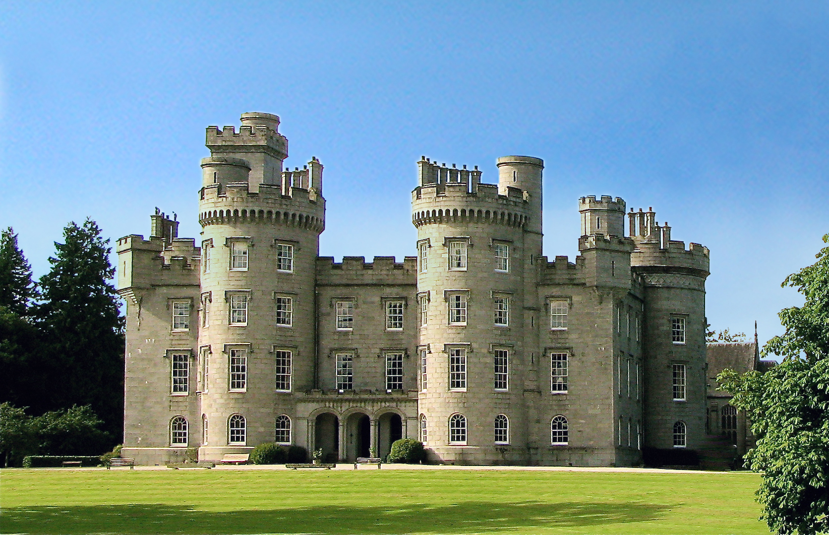
Castle Fraser

Castle Fraser is the most elaborate Z-plan castle in Scotland and one of the grandest 'Castles of Mar'. It is located near Kemnay in the Aberdeenshire...
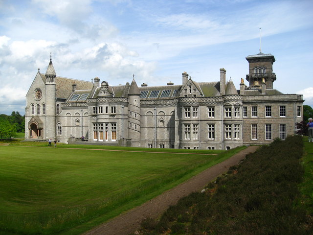
Dunecht House

Dunecht House is a stately home on the Dunecht estate in Aberdeenshire, Scotland. The house is protected as a category A listed building, and the grounds...

Dunecht estate

The Dunecht Estate is one of the largest private estates in Aberdeenshire, Scotland at 53,000 acres (210 km2). It is owned by The Hon Charles Anthony...

Sauchen

Sauchen is a village in Aberdeenshire, Scotland that lies 3 miles (5 km) west of Dunecht and 10 miles (16 km) west of Aberdeen. The village has around...

Cluny Castle

Cluny Castle was originally built c.1604 as a Z-plan castle replacing either a house or small peel tower. Sited in the parish of Cluny, it is south of...

Kemnay House

Kemnay House is a 17th-century tower house, now incorporated in a later house, about 5.5 miles (8.9 km) south and west of Inverurie, Aberdeenshire, Scotland...

Echt, Aberdeenshire

Echt (Scottish Gaelic: Eicht) is an Aberdeenshire crossroads village in northeast Scotland with a population of approximately 300 people. Echt has a number...

Nearby Amenities

Located within 500m of 57.185955,-2.4343038
Material: wood
Power: pole
Lat/Long: 57.1849845/-2.4362455
Location Transition: yes
Material: wood
Power: pole
Lat/Long: 57.1858063/-2.4332865
Material: wood
Power: pole
Lat/Long: 57.1842558/-2.4387689
Material: wood
Power: pole
Lat/Long: 57.1838905/-2.440034
Material: wood
Power: pole
Lat/Long: 57.1853497/-2.4348704
Power: tower
Lat/Long: 57.1857647/-2.4299935
Power: tower
Lat/Long: 57.184033/-2.4337415
Power: tower
Lat/Long: 57.1819744/-2.4381185
Power: tower
Lat/Long: 57.1880749/-2.427356
Material: wood
Power: pole
Lat/Long: 57.1846156/-2.4374816
Power: pole
Lat/Long: 57.1855844/-2.4340752
Location Transition: yes
Power: pole
Lat/Long: 57.1866273/-2.4273858
Power: pole
Lat/Long: 57.1872741/-2.4265543
Power: pole
Lat/Long: 57.186436/-2.4279952
Power: pole
Lat/Long: 57.1863932/-2.4274553
Power: pole
Lat/Long: 57.1862184/-2.4262504
Man Made: survey_point
Lat/Long: 57.1897118/-2.4350327
The data included in this document is from www.openstreetmap.org. The data is made available under ODbL.

Have you been to Glack Wood?

Leave your review of Glack Wood below (or comments, questions and feedback).