Ryeyaud's Plantation
Wood, Forest in Roxburghshire
Scotland
Ryeyaud's Plantation
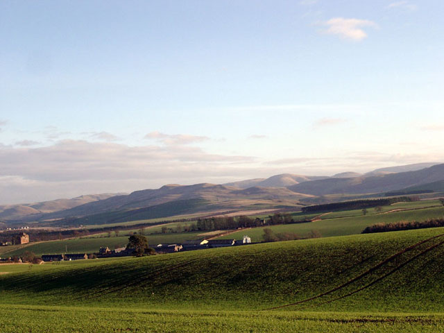
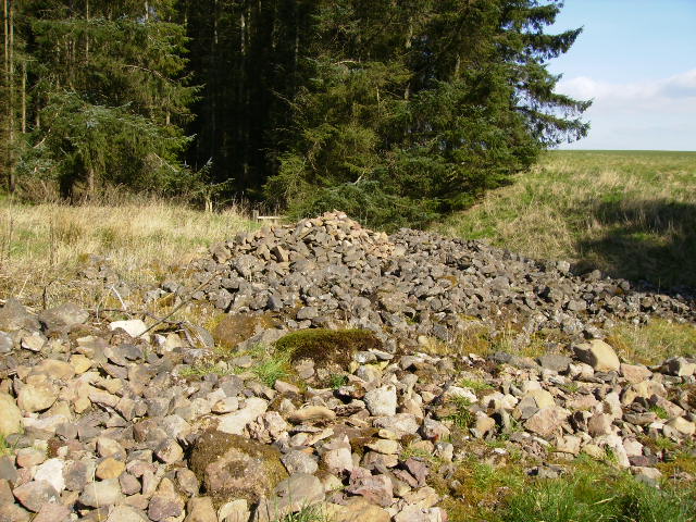
Ryeyaud's Plantation is a sprawling woodland located in the picturesque region of Roxburghshire, Scotland. Stretching over several acres, this plantation is a haven for nature enthusiasts and outdoor lovers. The plantation is primarily known for its rich collection of diverse tree species, making it a true paradise for those interested in botany and forestry.
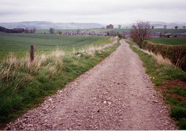
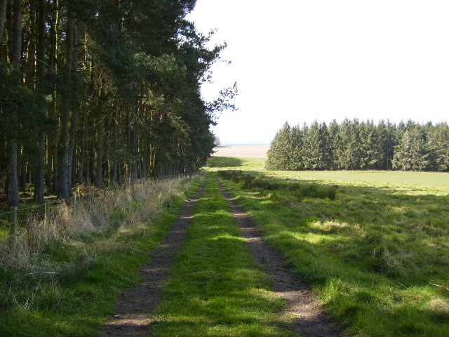
One of the standout features of Ryeyaud's Plantation is its dense and lush vegetation. The woodland is characterized by towering trees, including oak, beech, pine, and birch, which create a serene and enchanting atmosphere. The plantation's topography consists of undulating hills and meandering footpaths, allowing visitors to immerse themselves in the natural beauty of the area.
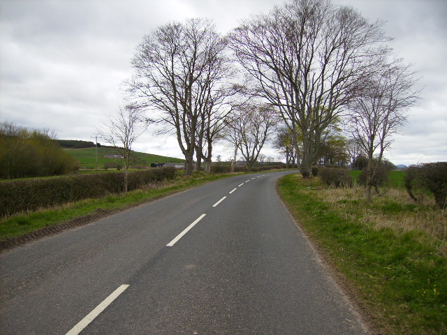
The plantation's location in Roxburghshire provides stunning vistas of the surrounding countryside, with panoramic views of rolling hills and dales in every direction. Wildlife is abundant in Ryeyaud's Plantation, with various bird species, squirrels, hares, and deer frequently spotted by visitors.
For those seeking outdoor activities, the plantation offers a range of recreational opportunities. Walking and hiking trails crisscross through the woodland, providing an opportunity to explore the plantation's nooks and crannies. Additionally, the plantation is a popular spot for picnickers, who can enjoy a relaxing meal amidst the tranquil surroundings.
Ryeyaud's Plantation is a hidden gem in Roxburghshire, offering a unique and immersive experience for nature enthusiasts and those seeking a peaceful retreat. With its stunning landscape, diverse flora and fauna, and recreational opportunities, this woodland is a must-visit destination for anyone looking to connect with nature in Scotland.
If you have any feedback on the listing, please let us know in the comments section below.
Ryeyaud's Plantation Images
Images are sourced within 2km of 55.517904/-2.4483951 or Grid Reference NT7124. Thanks to Geograph Open Source API. All images are credited.


Ryeyaud's Plantation is located at Grid Ref: NT7124 (Lat: 55.517904, Lng: -2.4483951)
Unitary Authority: The Scottish Borders
Police Authority: The Lothians and Scottish Borders
What 3 Words
///attention.verdict.double. Near Jedburgh, Scottish Borders
Nearby Locations
Related Wikis

Eckford, Scottish Borders
Eckford is a small village located between the larger towns of Kelso and Jedburgh in the Scottish Borders. The village is in close proximity to both the...

Kale Water
The Kale Water is a 20 miles (32 km) long tributary of the River Teviot in the Scottish Borders area of Scotland. Its feeder burns in the Cheviot Hills...

Cessford, Scottish Borders
Cessford is a hamlet and former barony about a mile south of the B6401 road, in the Scottish Borders area of Scotland. The placename is from Gaelic 'ceis...

Cessford Castle
Cessford Castle is a large ruined mid-15th century L-plan castle near the village of Cessford, midway Jedburgh and Kelso, in the historic county of Roxburghshire...

Kalemouth
Kalemouth is a place in the Scottish Borders area of Scotland, where the Kale Water joins the River Teviot, near to Eckford, Cessford, Crailing, Kelso...

Cessford Burn
Cessford Burn is a small stream which eventually runs to meet the Kale Water and then joins the River Teviot, finally entering the River Tweed at Kelso...

Crailinghall
Crailinghall is a village near Oxnam in the Scottish Borders area of Scotland, in the former Roxburghshire. Crailinghall is on the route of the St. Cuthbert...

Kirkbank railway station
Kirkbank railway station served Old Ormiston, in the Scottish Borders, Scotland from 1856 to 1948 on the Jedburgh Railway. == History == The station opened...
Nearby Amenities
Located within 500m of 55.517904,-2.4483951Have you been to Ryeyaud's Plantation?
Leave your review of Ryeyaud's Plantation below (or comments, questions and feedback).