Wooden Hill

Hill, Mountain in Roxburghshire

Scotland

Wooden Hill

Fields near Cessford Cessford and the Cheviots behind.
Fields near Cessford Credit: Andy Stephenson

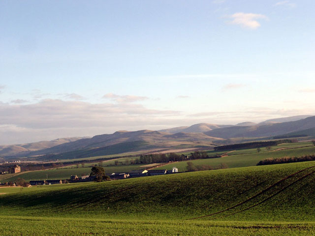
Wooden Hill is a prominent hill located in Roxburghshire, a historic county in the southern part of Scotland. Situated in the Scottish Borders region, it forms part of the scenic landscape that characterizes this area. Wooden Hill stands at an elevation of approximately 400 meters (1,312 feet) above sea level, making it a notable feature in the local topography.

The hill derives its name from the dense woodlands that cover its slopes. These woodlands, consisting mainly of native trees such as oak, birch, and rowan, provide a habitat for a diverse range of wildlife, including various bird species and mammals like deer and squirrels.

Wooden Hill offers breathtaking panoramic views of the surrounding countryside, with rolling hills, picturesque valleys, and meandering rivers visible from its summit. On clear days, it is even possible to catch a glimpse of the distant Cheviot Hills to the south and the Lammermuir Hills to the east.

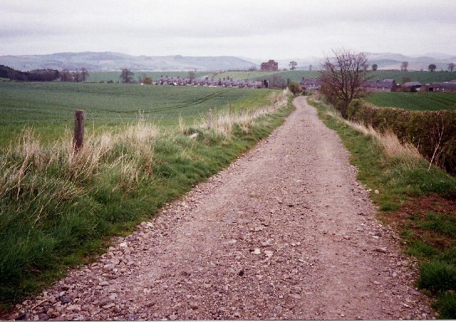
The hill is a popular destination for outdoor enthusiasts and nature lovers. Several walking trails and footpaths crisscross its slopes, allowing visitors to explore the woodlands and enjoy the tranquility of the countryside. The area is also a haven for birdwatchers, who can spot a wide array of avian species in the woodland canopies.

Accessible by car or on foot, Wooden Hill attracts both locals and tourists alike, seeking a peaceful retreat or an opportunity to immerse themselves in nature. Whether it be a leisurely stroll or a challenging hike, Wooden Hill offers a rewarding experience for those who venture to its summit.

If you have any feedback on the listing, please let us know in the comments section below.
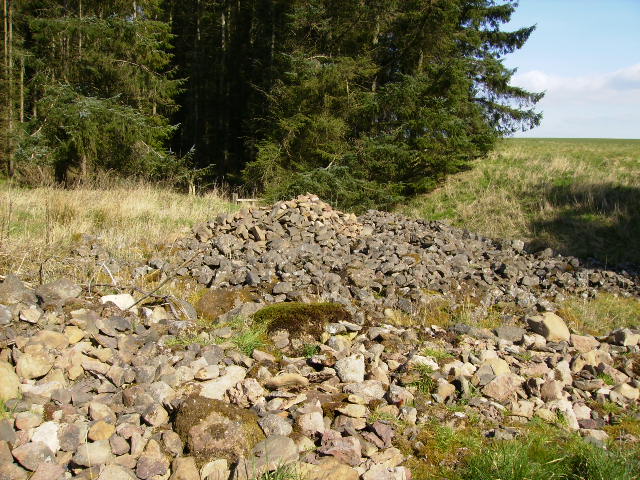
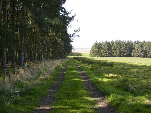
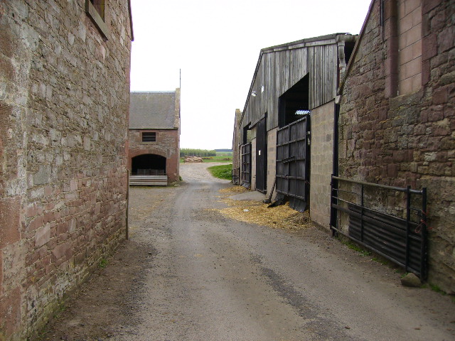
Wooden Hill Images

Images are sourced within 2km of 55.517465/-2.4479942 or Grid Reference NT7124. Thanks to Geograph Open Source API. All images are credited.

Fields near Cessford Cessford and the Cheviots behind.
Fields near Cessford
Cessford and the Cheviots behind.
St Cuthbert's Way looking east towards Cessford Cessford is a small hamlet with an old castle that can be seen to the left of the end of the track.
St Cuthbert's Way looking east towards Cessford
Cessford is a small hamlet with an old castle that can be seen to the left of the end of the track.
Field of Potatoes, Kalemouth
Haughhead Kip The mound known as Houghhead Kip crowns a natural hummock which rises from the plateau on the left bank of Kale Water opposite Grahamslaw. It has been planted with trees. On the summit there stands a modern stone "altar", in the top of which an inscribed slab of red sandstone, repaired and restored by Lady John Scott in 1854, has been inserted for its better preservation.
Haughhead Kip
The mound known as Houghhead Kip crowns a natural hummock which rises from the plateau on the left bank of Kale Water opposite Grahamslaw. It has been planted with trees. On the summit there stands a modern stone "altar", in the top of which an inscribed slab of red sandstone, repaired and restored by Lady John Scott in 1854, has been inserted for its better preservation.
Cessford Castle Early frosty morning image of Cessford Castle.
Cessford Castle
Early frosty morning image of Cessford Castle.
The jetty at Wooden Loch near Eckfordmoss
Looking down the unclassified road from Eckford that joins up with the A698 after 0.5km
House and farm buildings at Brownrigg
An overgrown track leads to arable fields at Eckfordmoss
Barn at Brownrigg - on the St.Cuthbert's Way long distance footpath
Footbridge near Fox Covert on the St.Cuthbert's Way
The B6401 road near Marlefield
Pile of stones Taken from the nearby fields and dumped here by machine to assist in getting better crops.
Pile of stones
Taken from the nearby fields and dumped here by machine to assist in getting better crops.
St.Cuthberts Way alongside Long Plantation near Cessford This recent new section of the St.Cuthbert's Way was only put into use after a divert in April 2003.
St.Cuthberts Way alongside Long Plantation near Cessford
This recent new section of the St.Cuthbert's Way was only put into use after a divert in April 2003.
Tarmac track through farm buildings at Easter Wooden
Wooden Hill Wooden Hill: forested area, taken from 'T' junction track shown on Outdoor Leisure 16 Map (1:25000)
Wooden Hill
Wooden Hill: forested area, taken from 'T' junction track shown on Outdoor Leisure 16 Map (1:25000)
Back Strip Wood Burn at Back Strip Wood: shown on Outdoor Leisure 16 Map (1:25000)
Back Strip Wood
Burn at Back Strip Wood: shown on Outdoor Leisure 16 Map (1:25000)
Wooden Hill and Back Strip Near 90 degree angle between the two portions of woodland
Wooden Hill and Back Strip
Near 90 degree angle between the two portions of woodland
Show me another place!

Wooden Hill is located at Grid Ref: NT7124 (Lat: 55.517465, Lng: -2.4479942)

Unitary Authority: The Scottish Borders

Police Authority: The Lothians and Scottish Borders

What 3 Words

///keepers.enchanted.chip. Near Jedburgh, Scottish Borders

Related Wikis

Eckford, Scottish Borders

Eckford is a small village located between the larger towns of Kelso and Jedburgh in the Scottish Borders. The village is in close proximity to both the...

Kale Water

The Kale Water is a 20 miles (32 km) long tributary of the River Teviot in the Scottish Borders area of Scotland. Its feeder burns in the Cheviot Hills...

Cessford, Scottish Borders

Cessford is a hamlet and former barony about a mile south of the B6401 road, in the Scottish Borders area of Scotland. The placename is from Gaelic 'ceis...
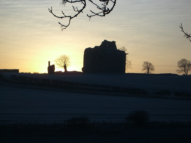
Cessford Castle

Cessford Castle is a large ruined mid-15th century L-plan castle near the village of Cessford, midway Jedburgh and Kelso, in the historic county of Roxburghshire...

Kalemouth

Kalemouth is a place in the Scottish Borders area of Scotland, where the Kale Water joins the River Teviot, near to Eckford, Cessford, Crailing, Kelso...

Cessford Burn

Cessford Burn is a small stream which eventually runs to meet the Kale Water and then joins the River Teviot, finally entering the River Tweed at Kelso...

Crailinghall

Crailinghall is a village near Oxnam in the Scottish Borders area of Scotland, in the former Roxburghshire. Crailinghall is on the route of the St. Cuthbert...

Kirkbank railway station

Kirkbank railway station served Old Ormiston, in the Scottish Borders, Scotland from 1856 to 1948 on the Jedburgh Railway. == History == The station opened...

Nearby Amenities

Located within 500m of 55.517465,-2.4479942
Wooden Hill
Natural: peak
Lat/Long: 55.5177269/-2.4480964
Barrier: stile
Material: wood
Stile: stepover
Lat/Long: 55.5197957/-2.4479022
Bench
Backrest: yes
Colour: brown
Material: wood
Seats: 4
Lat/Long: 55.5198262/-2.4478735
The data included in this document is from www.openstreetmap.org. The data is made available under ODbL.

Have you been to Wooden Hill?

Leave your review of Wooden Hill below (or comments, questions and feedback).