Blindwells Plantation
Wood, Forest in Roxburghshire
Scotland
Blindwells Plantation
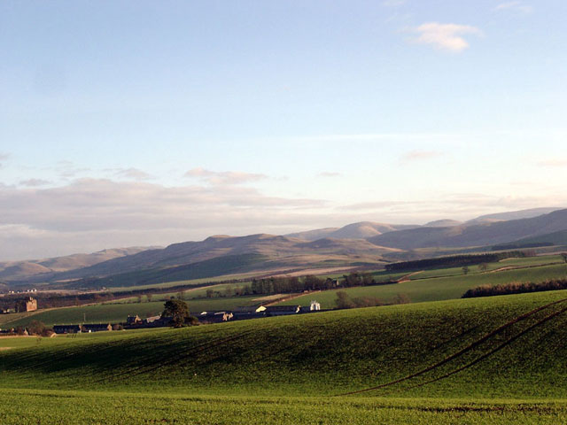
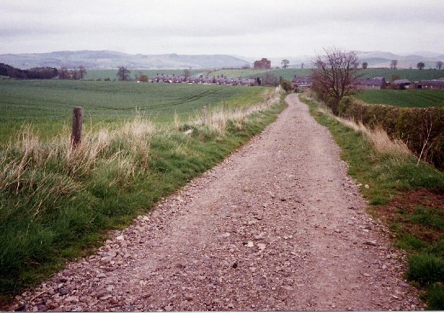
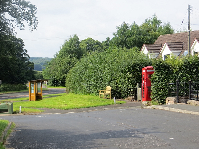
Blindwells Plantation is a picturesque woodland area located in Roxburghshire, a historic county in the southern region of Scotland. Situated near the village of Blindwells, this plantation encompasses an expansive area of lush greenery and diverse flora, making it a popular destination for nature enthusiasts and hikers.
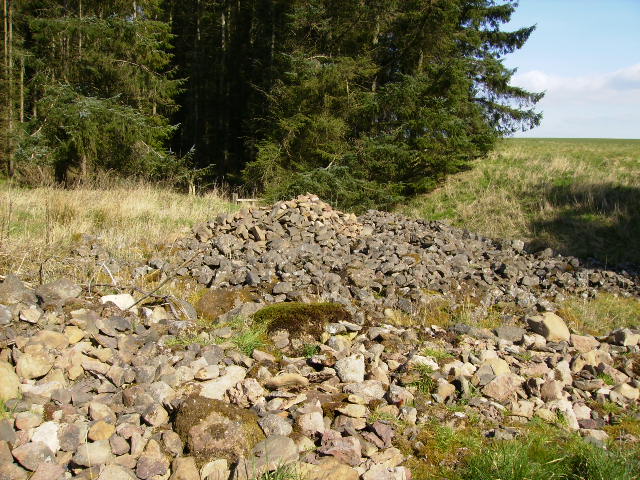
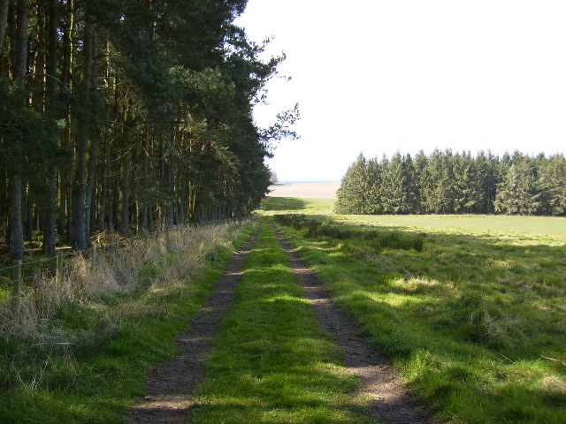
The plantation is home to a wide variety of trees, including oak, ash, birch, and pine, which form a dense canopy overhead. These towering trees provide a habitat for numerous bird species, such as thrushes, woodpeckers, and owls, making it a haven for birdwatchers and wildlife lovers.
Visitors to Blindwells Plantation can explore the area through a network of well-marked trails, offering opportunities for leisurely walks and more challenging hikes. The pathways wind through the woodland, allowing visitors to immerse themselves in the peaceful ambiance and admire the natural beauty of the surroundings.
In addition to its scenic charm, Blindwells Plantation also serves as an important ecological site. The diverse vegetation and undisturbed environment support a range of wildlife, from small mammals like squirrels and rabbits to larger creatures like deer and foxes. The plantation is frequently monitored and managed by local conservation organizations to ensure its continued preservation and sustainability.
Blindwells Plantation offers a serene escape from the hustle and bustle of everyday life. Whether visitors are seeking a tranquil stroll amidst nature, a chance to spot rare bird species, or simply a place to unwind and reconnect with the environment, this plantation in Roxburghshire provides an idyllic setting for all.
If you have any feedback on the listing, please let us know in the comments section below.
Blindwells Plantation Images
Images are sourced within 2km of 55.513245/-2.4544228 or Grid Reference NT7124. Thanks to Geograph Open Source API. All images are credited.


Blindwells Plantation is located at Grid Ref: NT7124 (Lat: 55.513245, Lng: -2.4544228)
Unitary Authority: The Scottish Borders
Police Authority: The Lothians and Scottish Borders
What 3 Words
///width.kindness.fortunate. Near Jedburgh, Scottish Borders
Nearby Locations
Related Wikis

Eckford, Scottish Borders
Eckford is a small village located between the larger towns of Kelso and Jedburgh in the Scottish Borders. The village is in close proximity to both the...

Cessford, Scottish Borders
Cessford is a hamlet and former barony about a mile south of the B6401 road, in the Scottish Borders area of Scotland. The placename is from Gaelic 'ceis...

Kale Water
The Kale Water is a 20 miles (32 km) long tributary of the River Teviot in the Scottish Borders area of Scotland. Its feeder burns in the Cheviot Hills...

Cessford Castle
Cessford Castle is a large ruined mid-15th century L-plan castle near the village of Cessford, midway Jedburgh and Kelso, in the historic county of Roxburghshire...

Crailinghall
Crailinghall is a village near Oxnam in the Scottish Borders area of Scotland, in the former Roxburghshire. Crailinghall is on the route of the St. Cuthbert...

Kalemouth
Kalemouth is a place in the Scottish Borders area of Scotland, where the Kale Water joins the River Teviot, near to Eckford, Cessford, Crailing, Kelso...
Crailing
Crailing is a village on the A698, in Teviotdale, 4m east of Jedburgh in the Scottish Borders area of Scotland, in the historic county of Roxburghshire...

Roxburghshire
Roxburghshire or the County of Roxburgh (Scottish Gaelic: Siorrachd Rosbroig) is a historic county and registration county in the Southern Uplands of Scotland...
Nearby Amenities
Located within 500m of 55.513245,-2.4544228Have you been to Blindwells Plantation?
Leave your review of Blindwells Plantation below (or comments, questions and feedback).